Uphill
59m
Length
4km
Duration
1h
Elev gain
59m
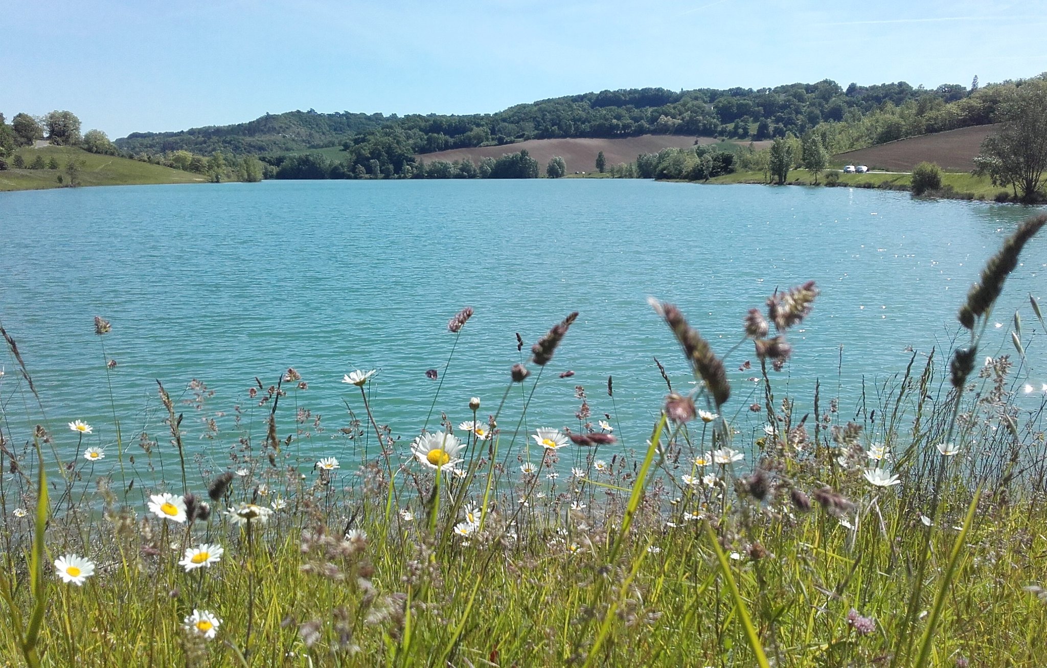
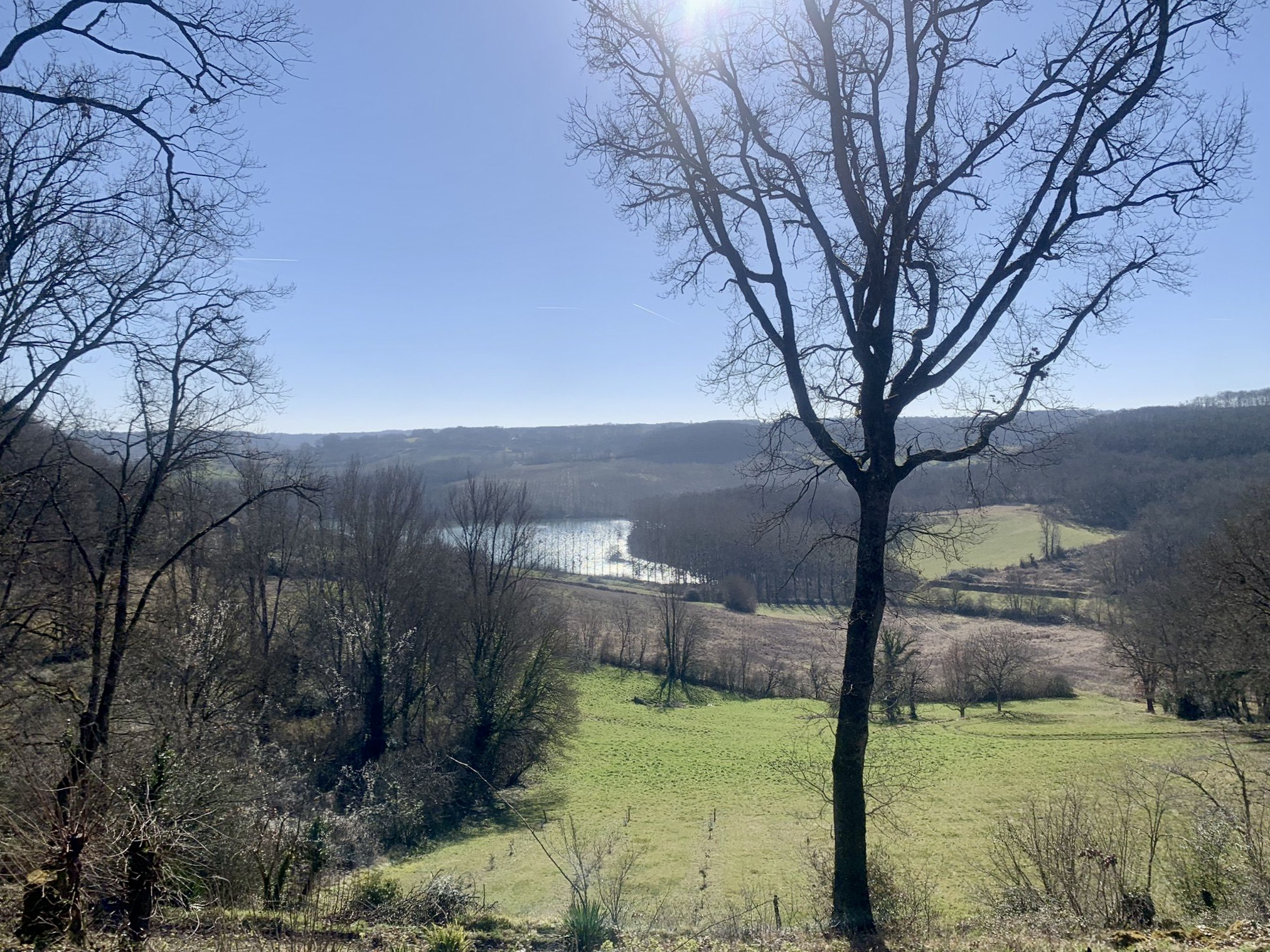
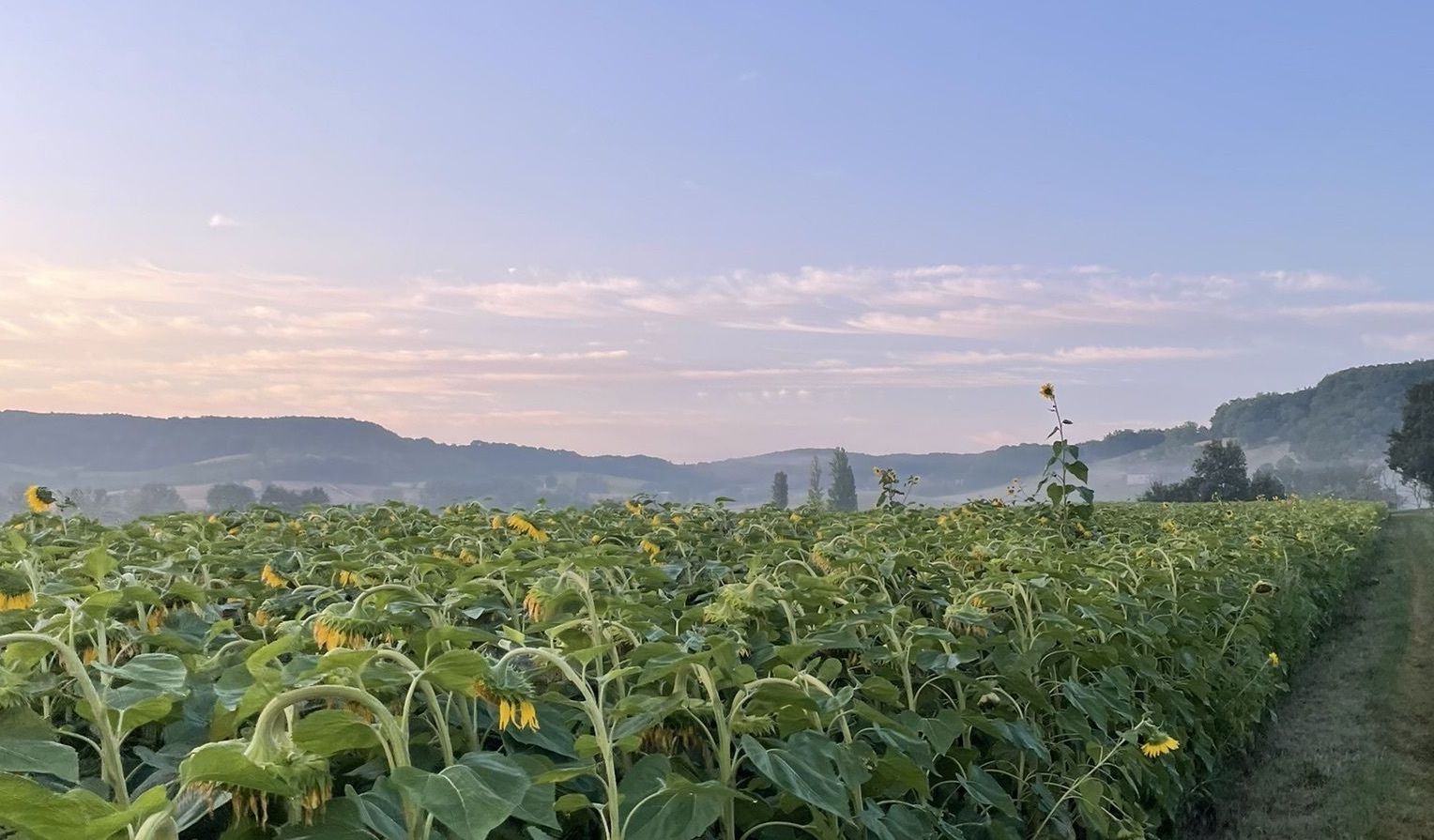
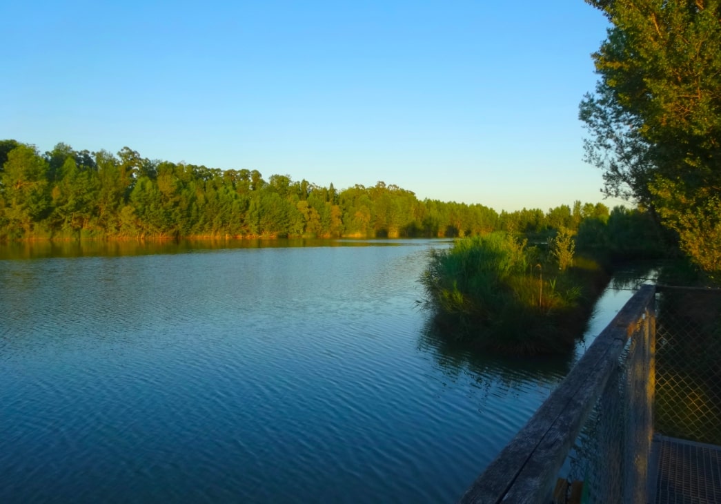
Stroll around the lakes of Pessilier and Passeligne, near Agen. Considered a true green lung of the urban area, this natural space is dotted with picnic areas, playgrounds and a refreshment bar.

Already more than 200,000 users!
Uphill
59m
Highest point
60m
Downhill
59m
Lowest point
31m
Route type
Loop
Download the map on your smartphone to save battery and rest assured to always keep access to the route, even without signal.
Includes IGN France and Swisstopo.
I indicate whether dogs are allowed or prohibited on this trail
All year
0 ratings
Also enjoy:

Already more than 200,000 users!