Uphill
63m
Length
7km
Duration
2h
Elev gain
63m
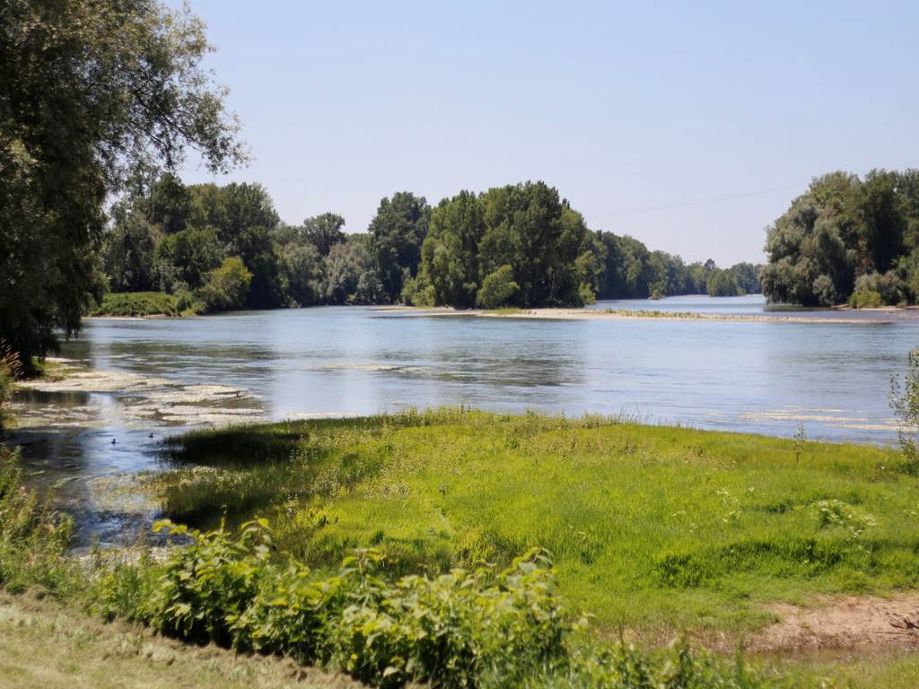
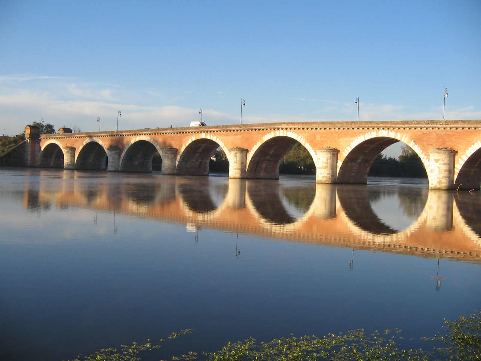
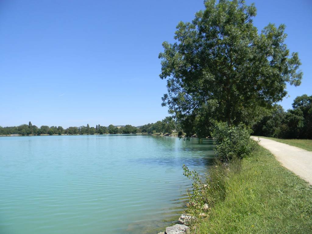
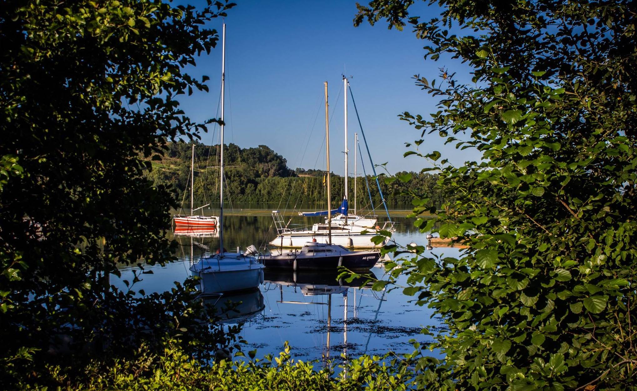
Departing from the leisure center of Saint-Nicolas-de-la-Grave, this course takes place on the banks of the Garonne. On the outward journey, the route takes place a little set back from the river in a pleasant setting, while the return route runs along the Garonne up to the starting point.

Already more than 200,000 users!
Uphill
63m
Highest point
82m
Downhill
63m
Lowest point
55m
Route type
Loop
Download the map on your smartphone to save battery and rest assured to always keep access to the route, even without signal.
Includes IGN France and Swisstopo.
I indicate whether dogs are allowed or prohibited on this trail
All year
1 rating
Also enjoy:

Already more than 200,000 users!