Uphill
187m
Length
12km
Duration
3h30min
Elev gain
187m
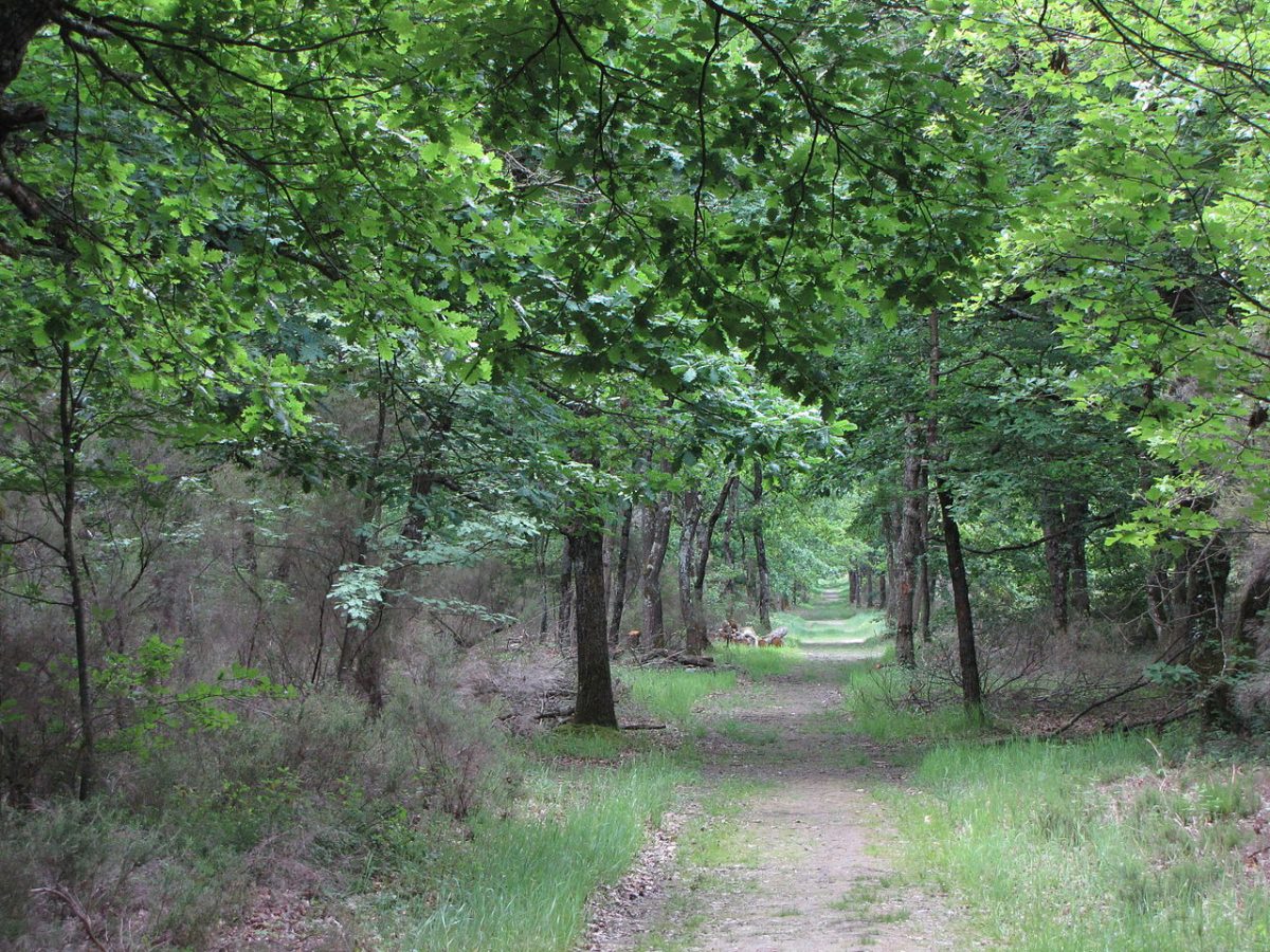
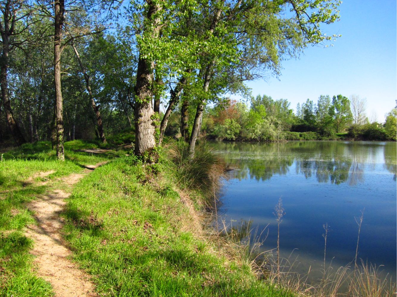
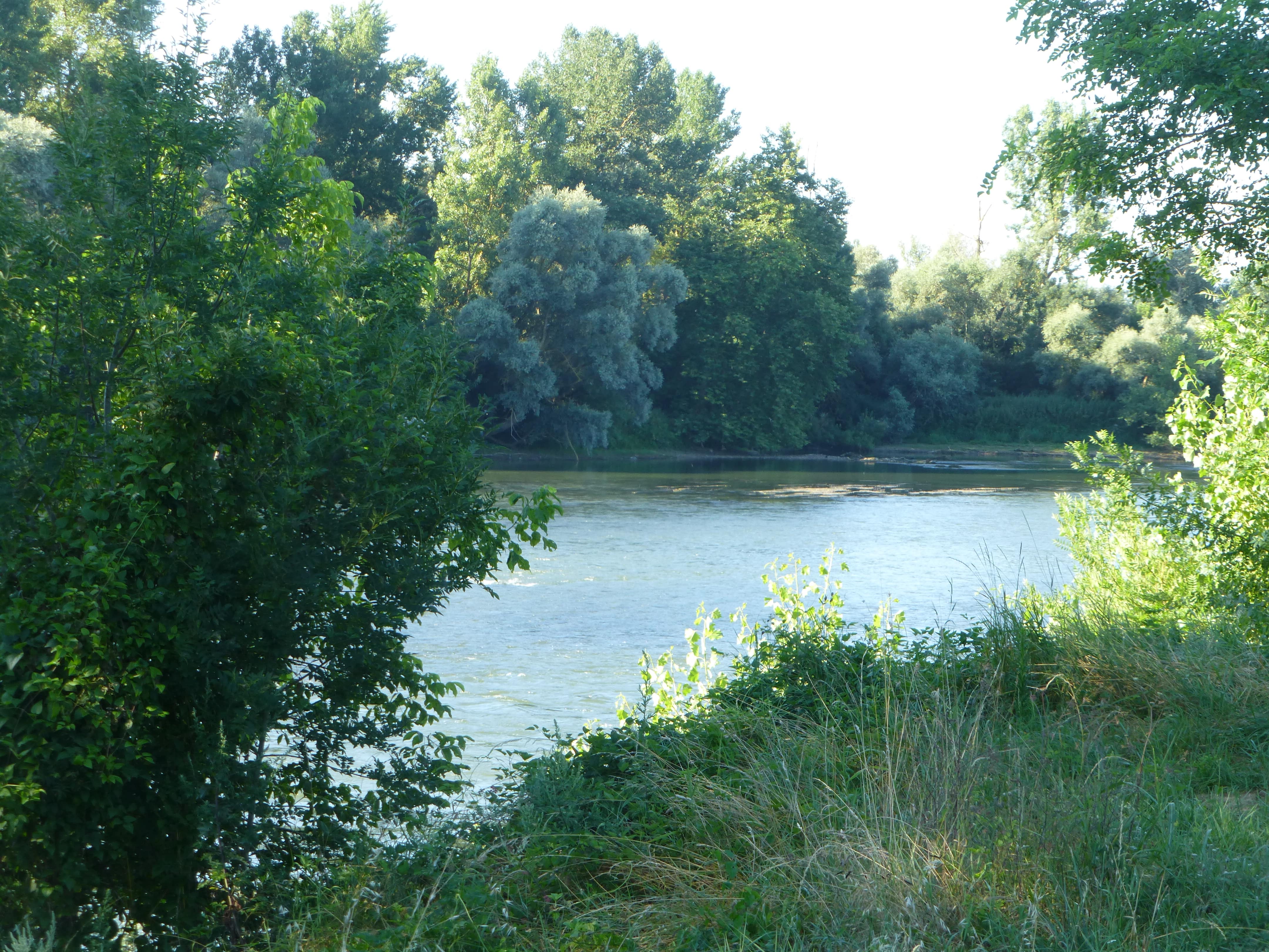
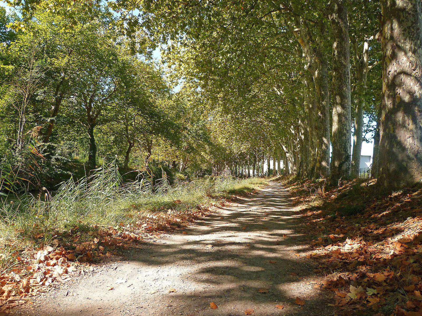
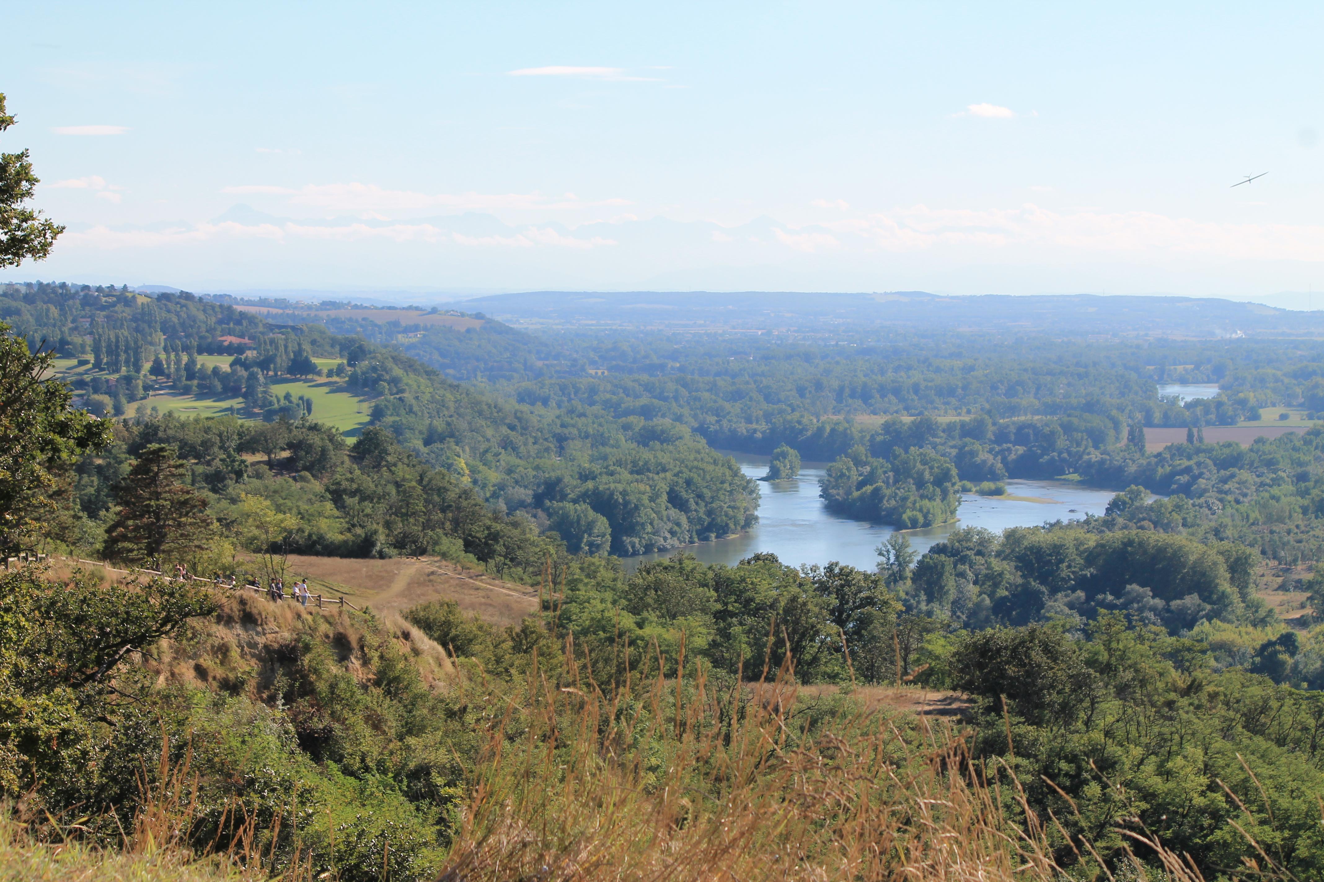
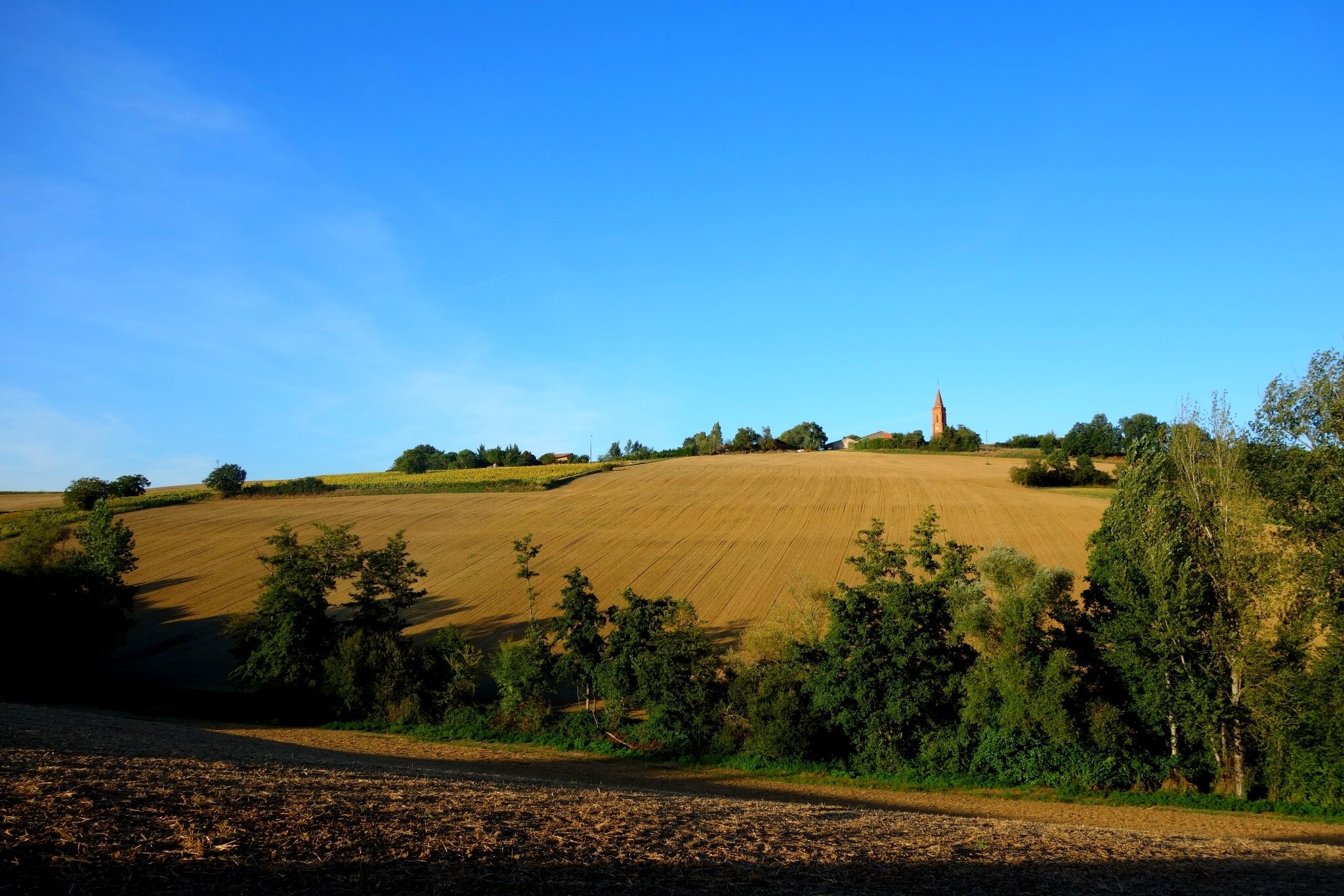
Bucolic walk in the heart of the Tolosan Country, which allows you to cross vineyards and forests in a hilly landscape. Nice views over the Tarn valley, the Girou valley, and the Pyrenees in good weather.

Already more than 200,000 users!
Uphill
187m
Highest point
228m
Downhill
187m
Lowest point
135m
Route type
Loop
Download the map on your smartphone to save battery and rest assured to always keep access to the route, even without signal.
Includes IGN France and Swisstopo.
I indicate whether dogs are allowed or prohibited on this trail
All year
0 ratings
Also enjoy:

Already more than 200,000 users!