Uphill
76m
Length
7km
Duration
2h
Elev gain
76m
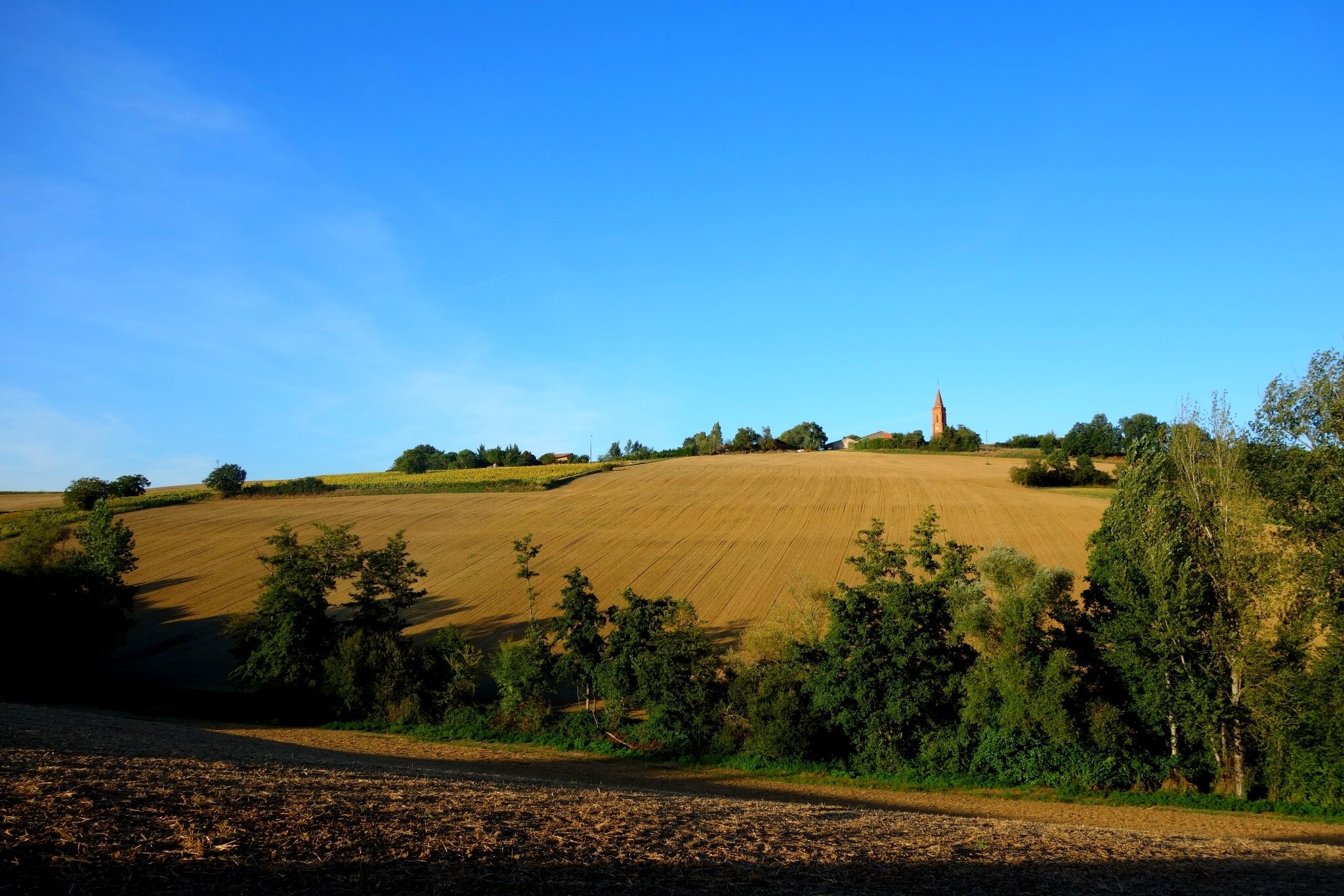
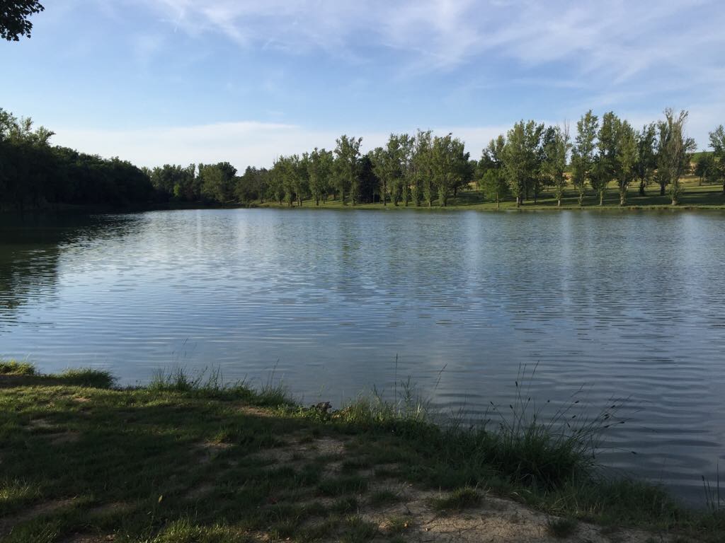
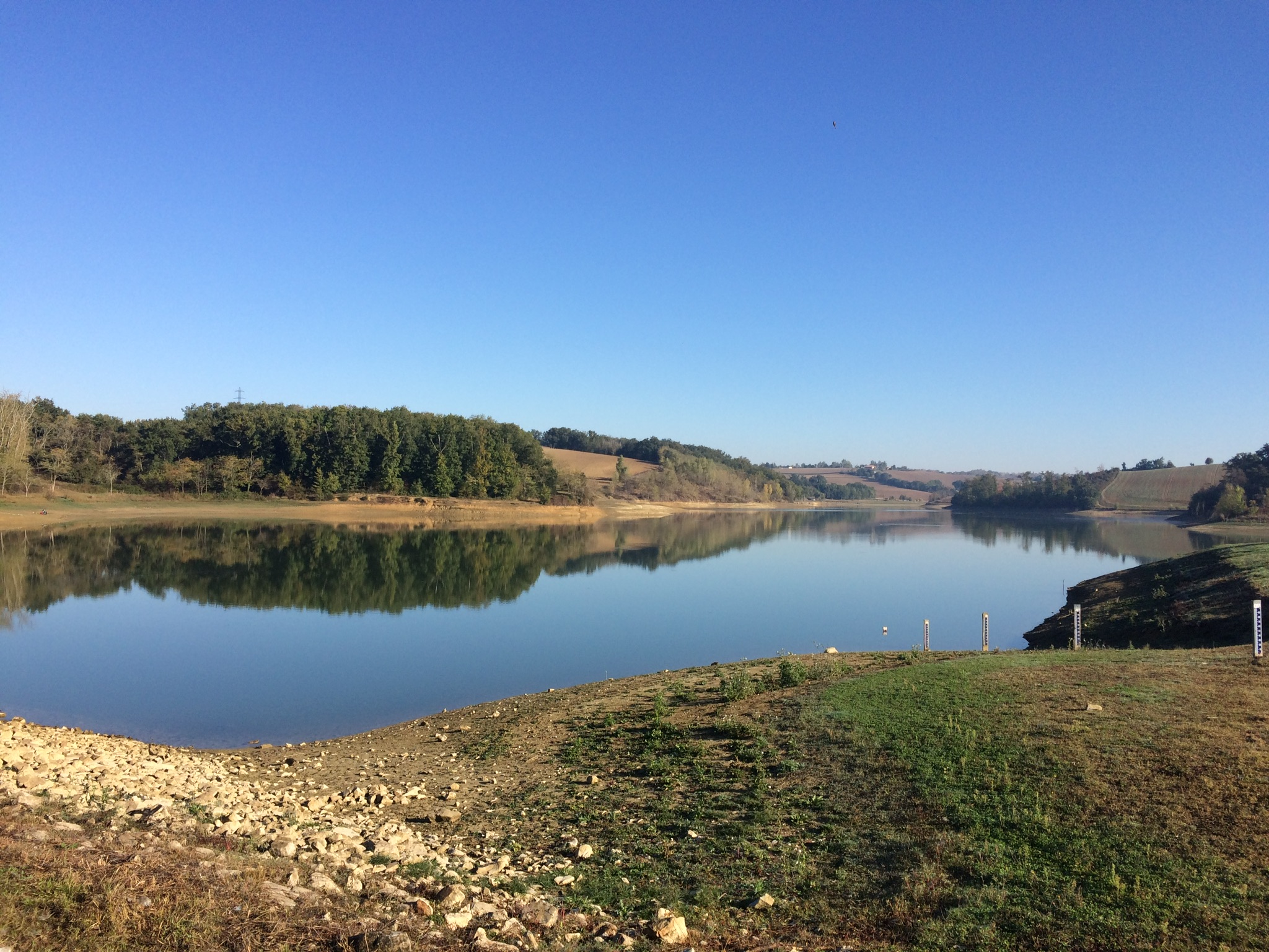
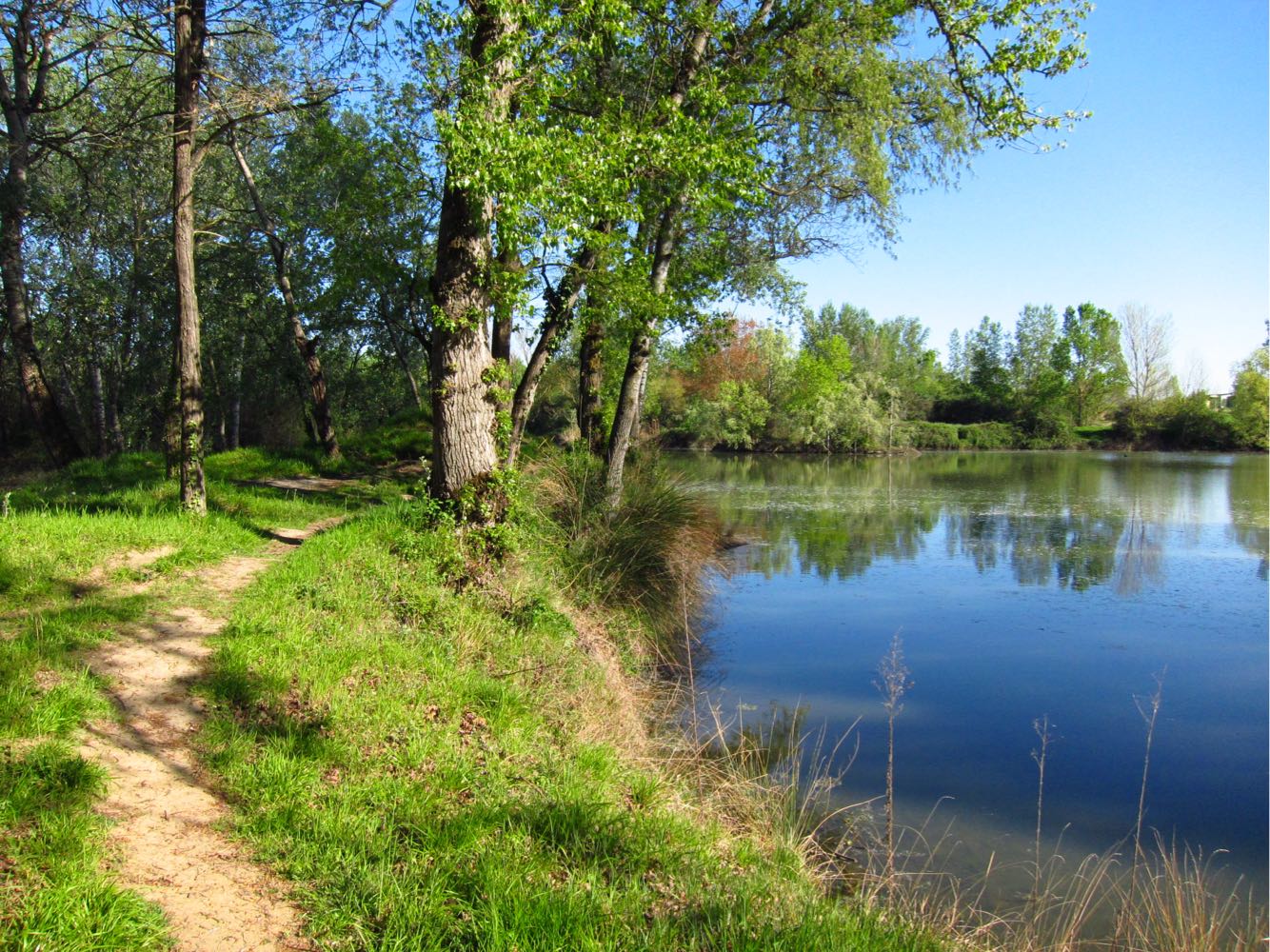
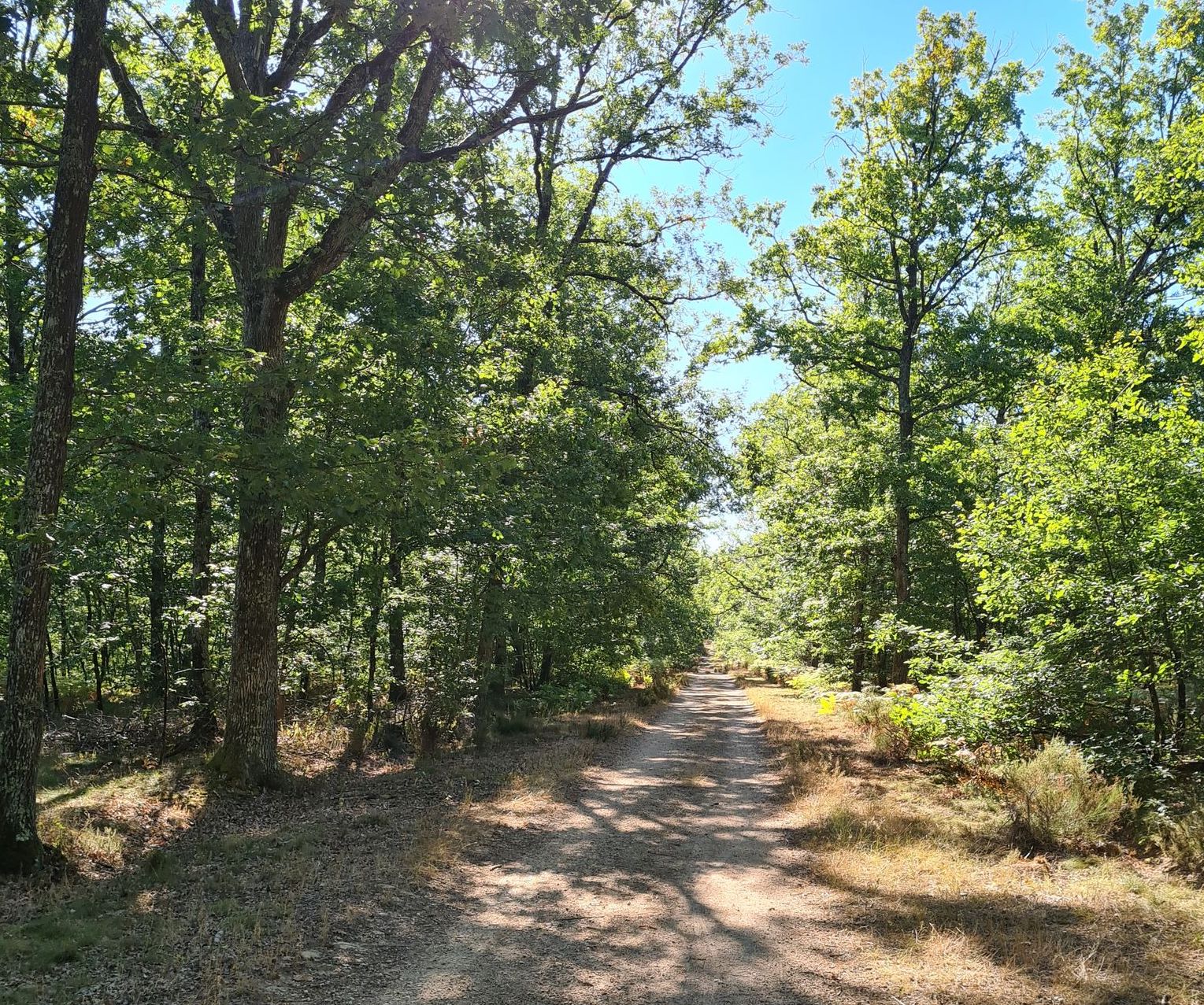
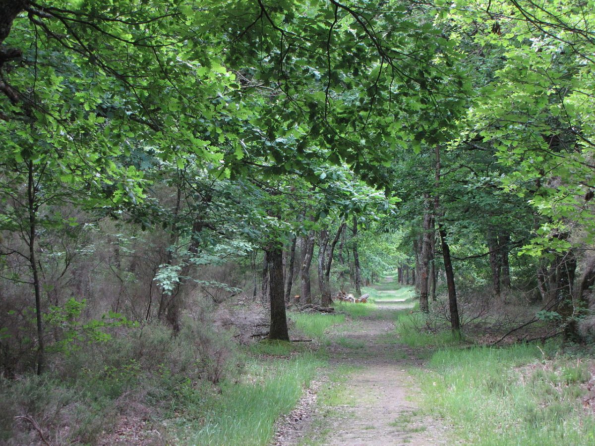
Walk in the forest to discover several small ponds, and the rich biodiversity of this natural space.

Already more than 200,000 users!
Uphill
76m
Highest point
169m
Downhill
76m
Lowest point
116m
Route type
Loop
Download the map on your smartphone to save battery and rest assured to always keep access to the route, even without signal.
Includes IGN France and Swisstopo.
I indicate whether dogs are allowed or prohibited on this trail
All year
0 ratings
Also enjoy:

Already more than 200,000 users!