Uphill
104m
Length
6km
Duration
1h30min
Elev gain
104m
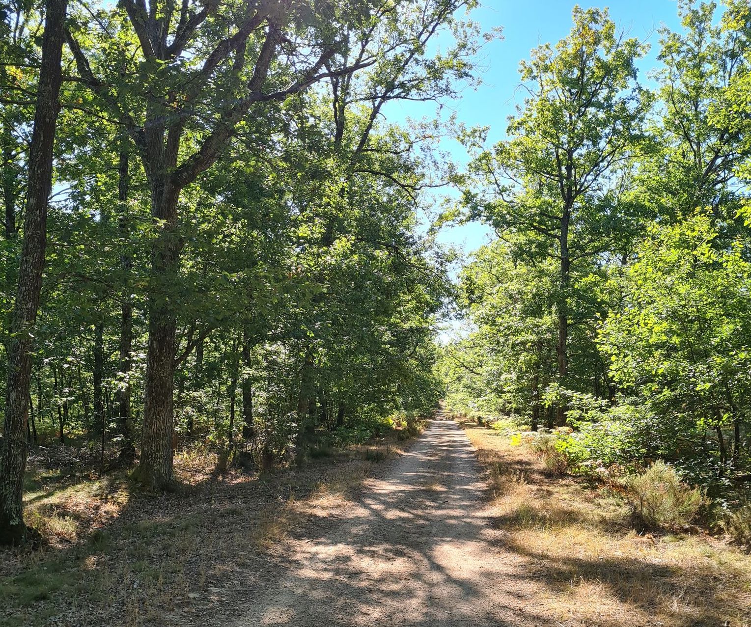
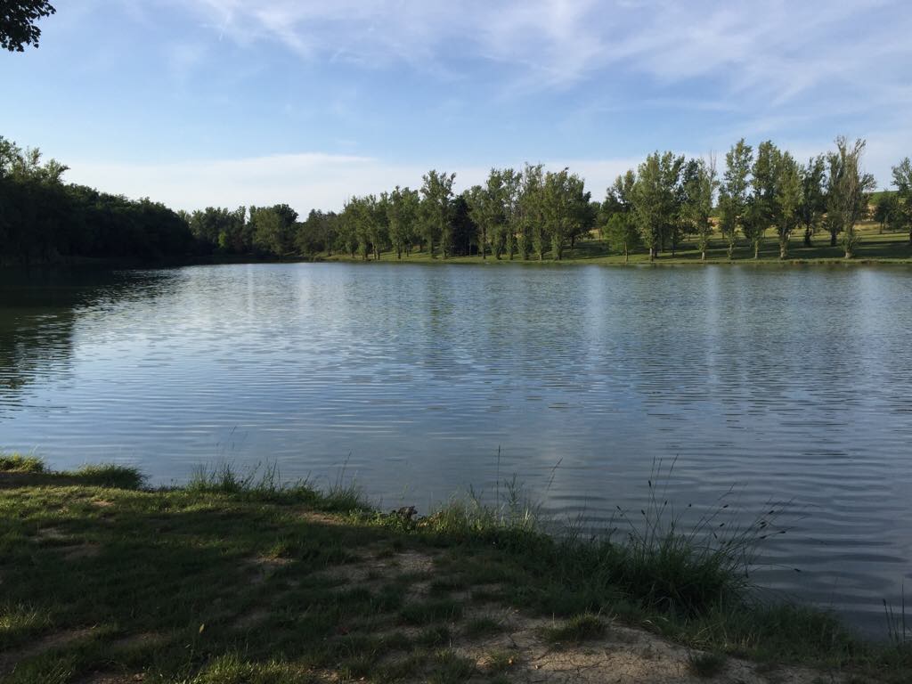
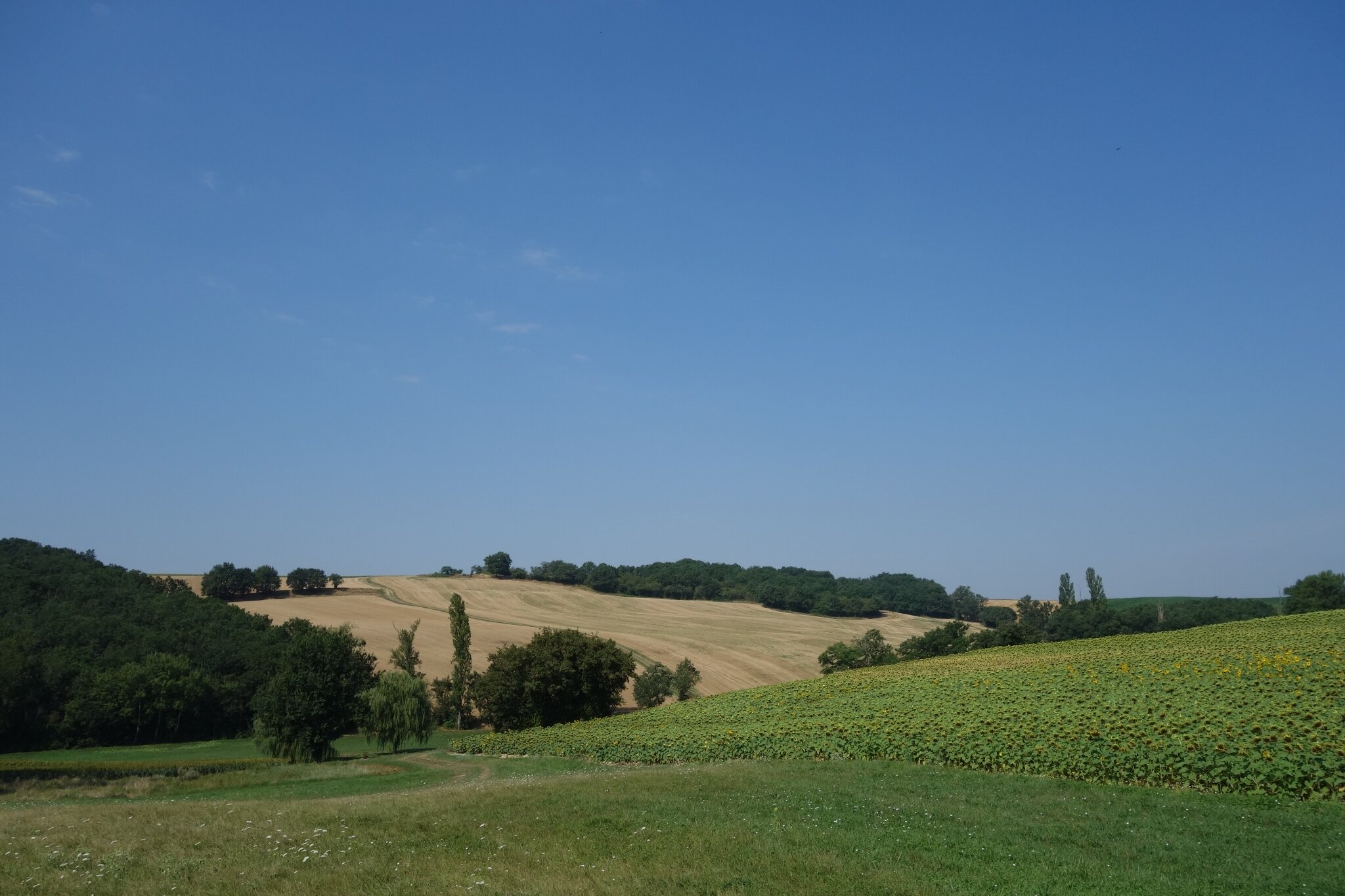
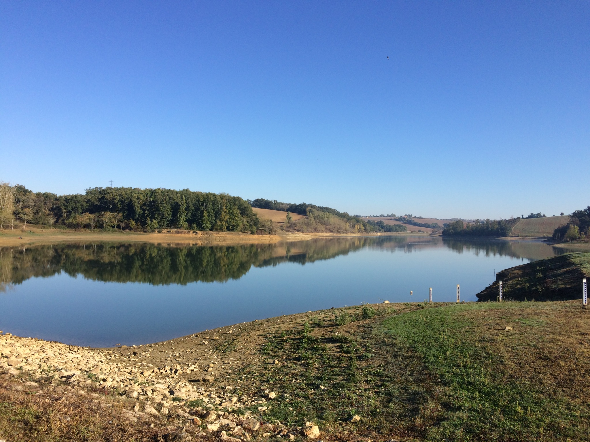
Stroll around the Balerme lake, between undergrowth and fields. Several spaces are set up for picnics, and it is also a popular place for fishermen.

Already more than 200,000 users!
Uphill
104m
Highest point
200m
Downhill
104m
Lowest point
160m
Route type
Loop
Download the map on your smartphone to save battery and rest assured to always keep access to the route, even without signal.
Includes IGN France and Swisstopo.
1 rating
Also enjoy:

Already more than 200,000 users!