Uphill
167m
Length
7km
Duration
2h
Elev gain
167m
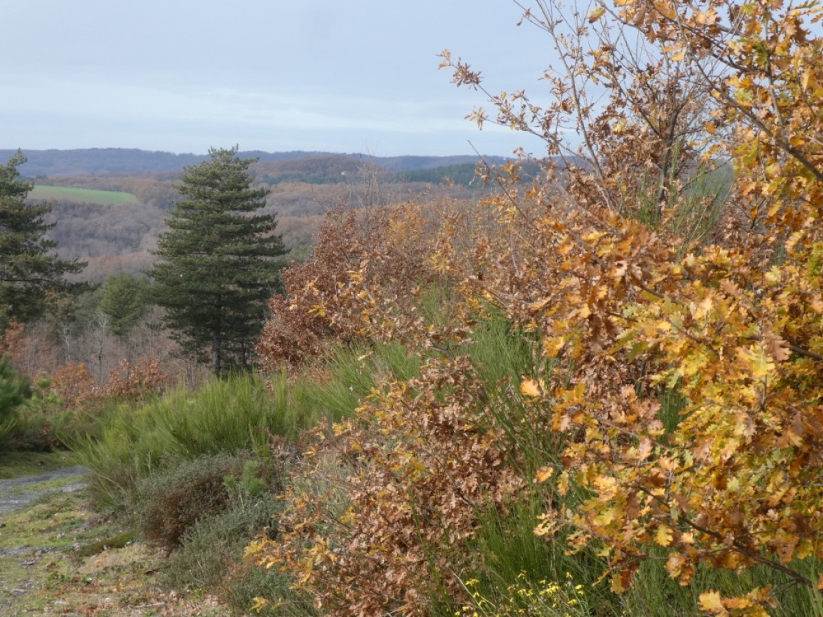
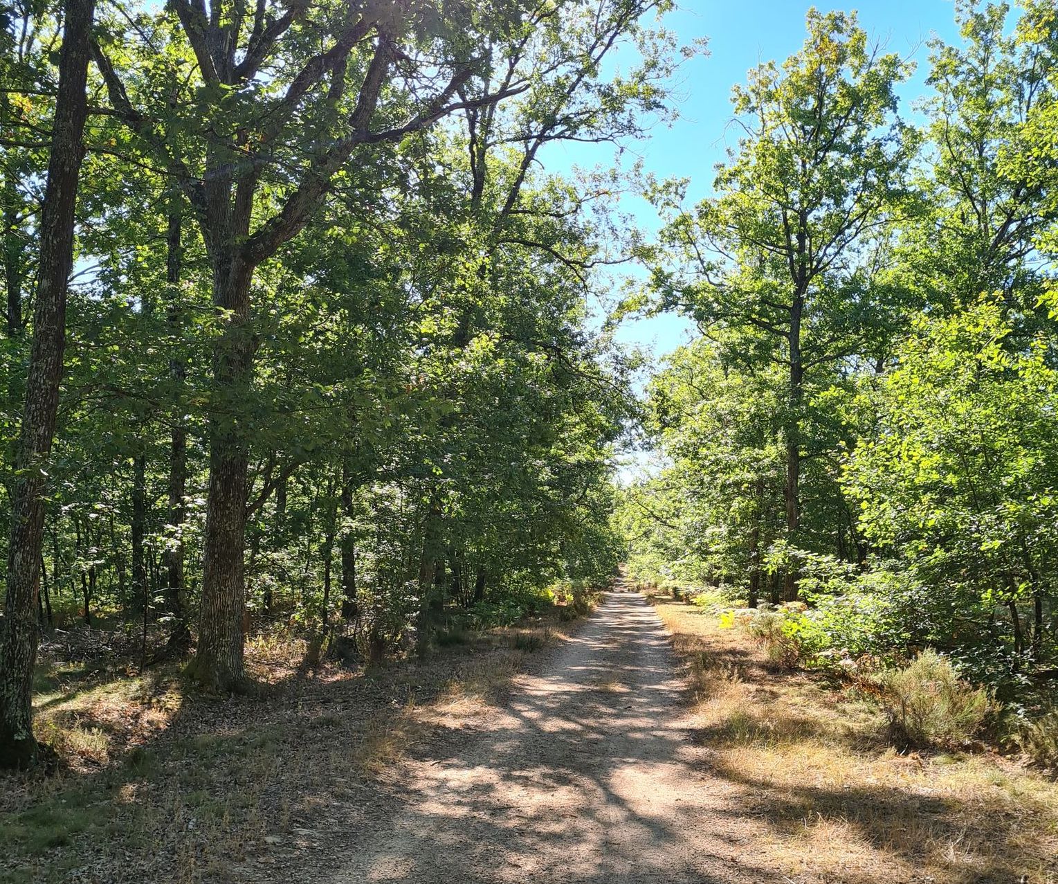
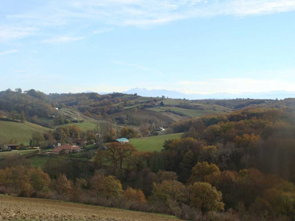
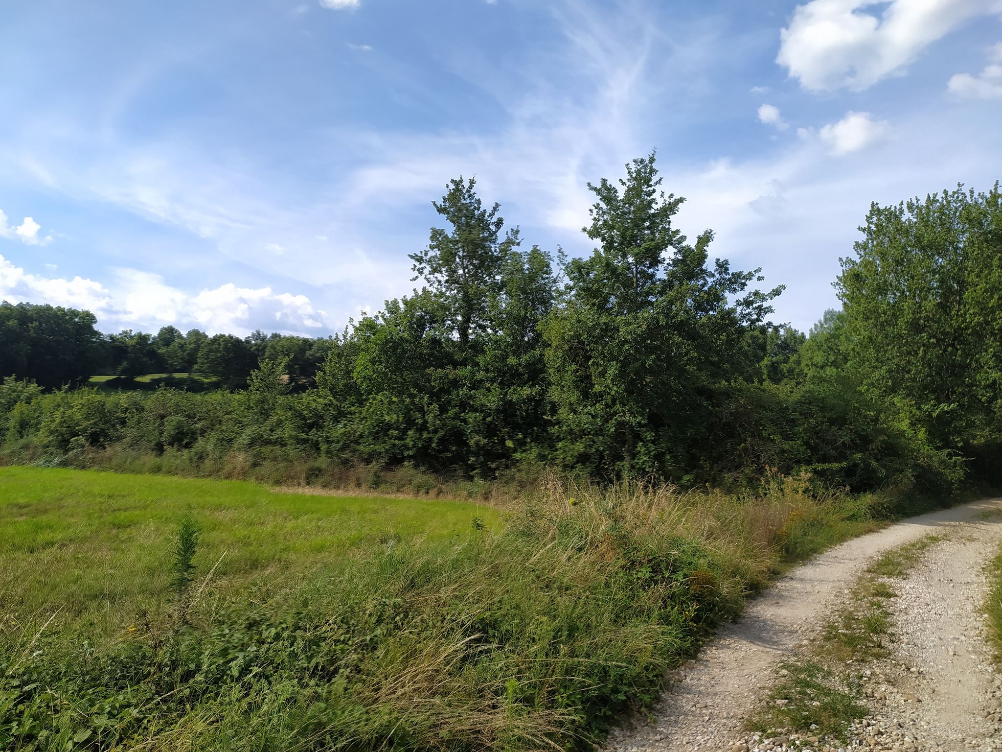
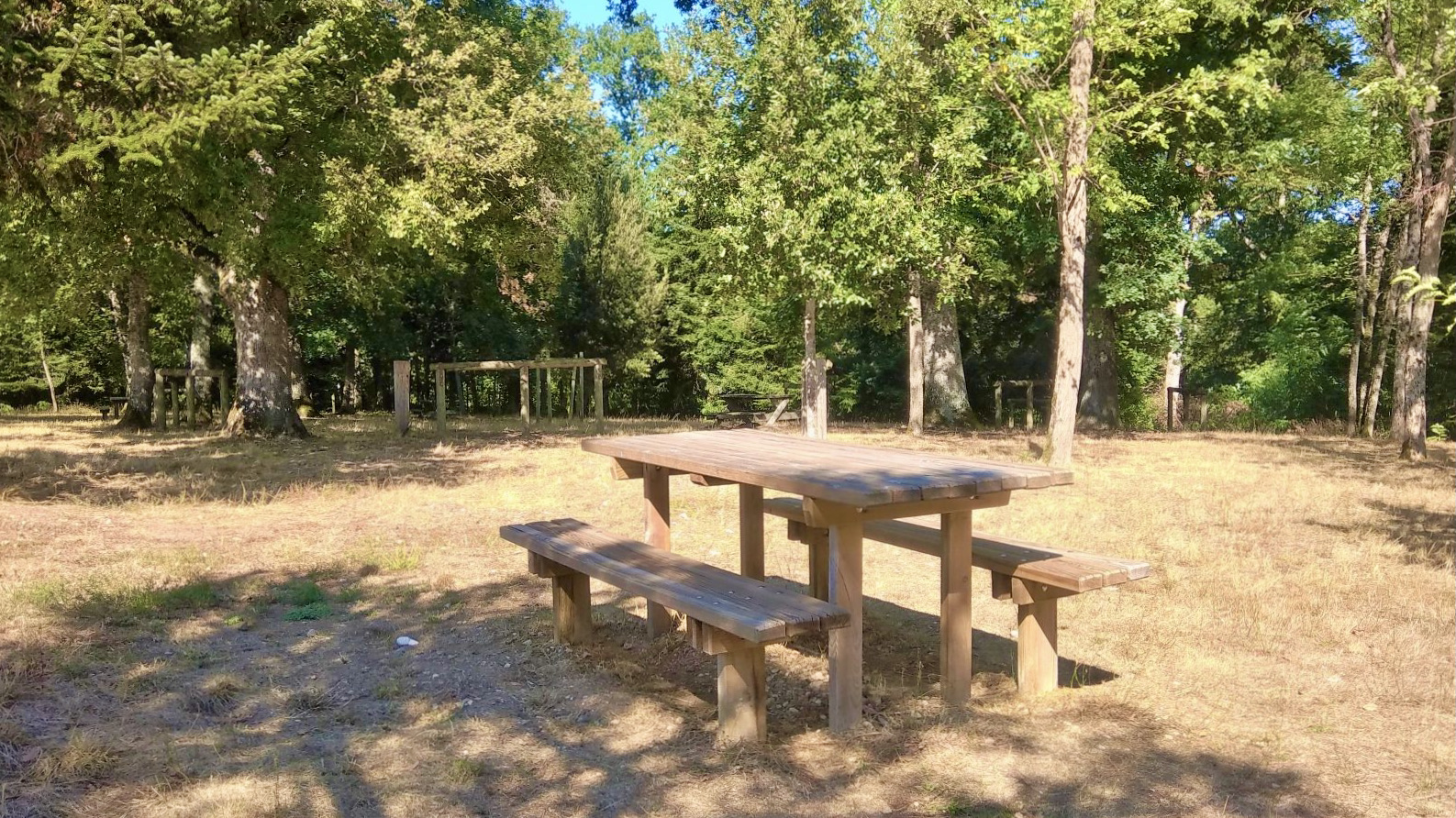
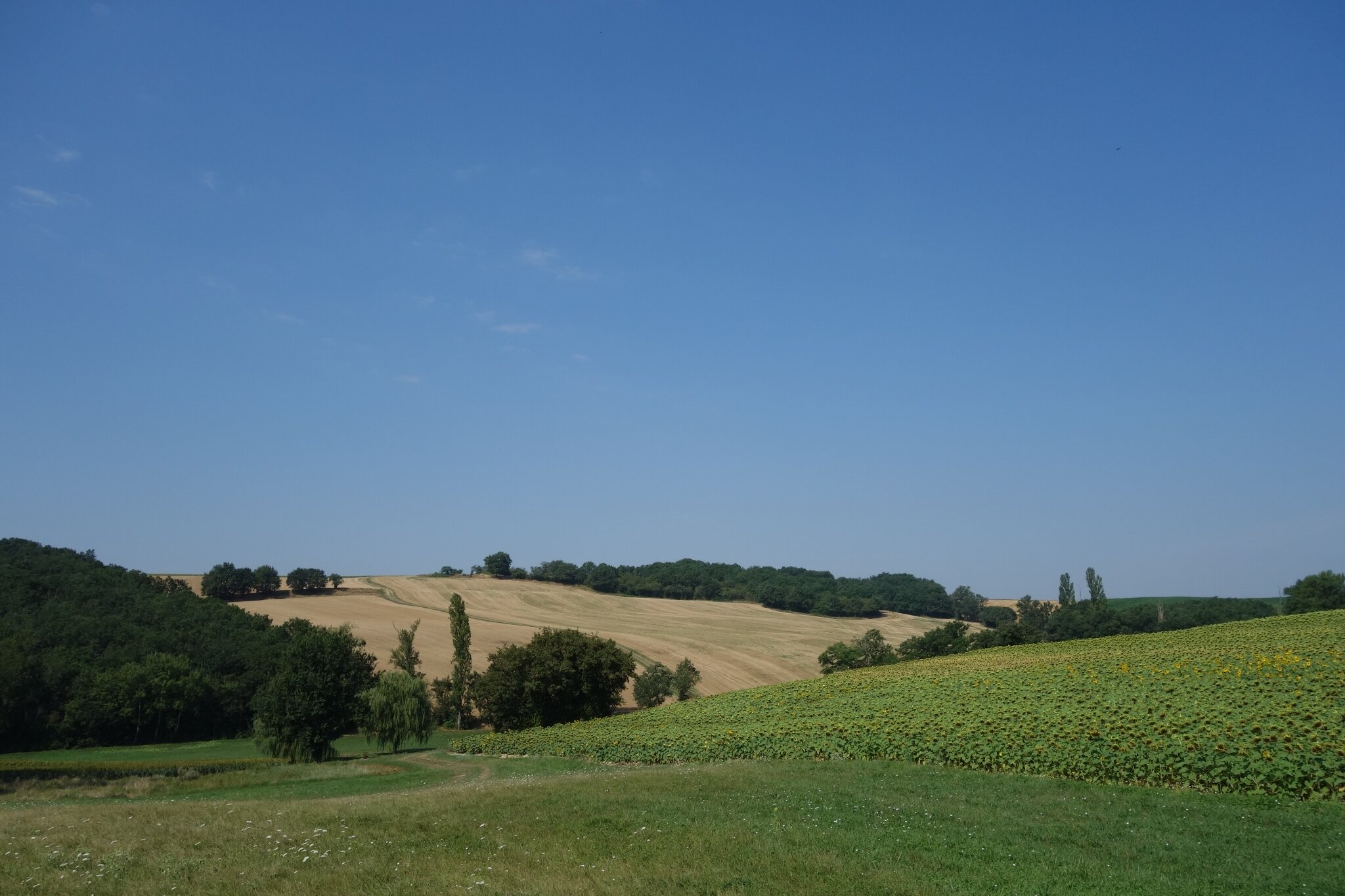
This is a pleasant hike along paths through woods and fields, all in a hilly setting.

Already more than 200,000 users!
Uphill
167m
Highest point
287m
Downhill
167m
Lowest point
154m
Route type
Loop
Download the map on your smartphone to save battery and rest assured to always keep access to the route, even without signal.
Includes IGN France and Swisstopo.
I indicate whether dogs are allowed or prohibited on this trail
All year
2 ratings
Also enjoy:

Already more than 200,000 users!