Uphill
201m
Length
9km
Duration
3h
Elev gain
201m
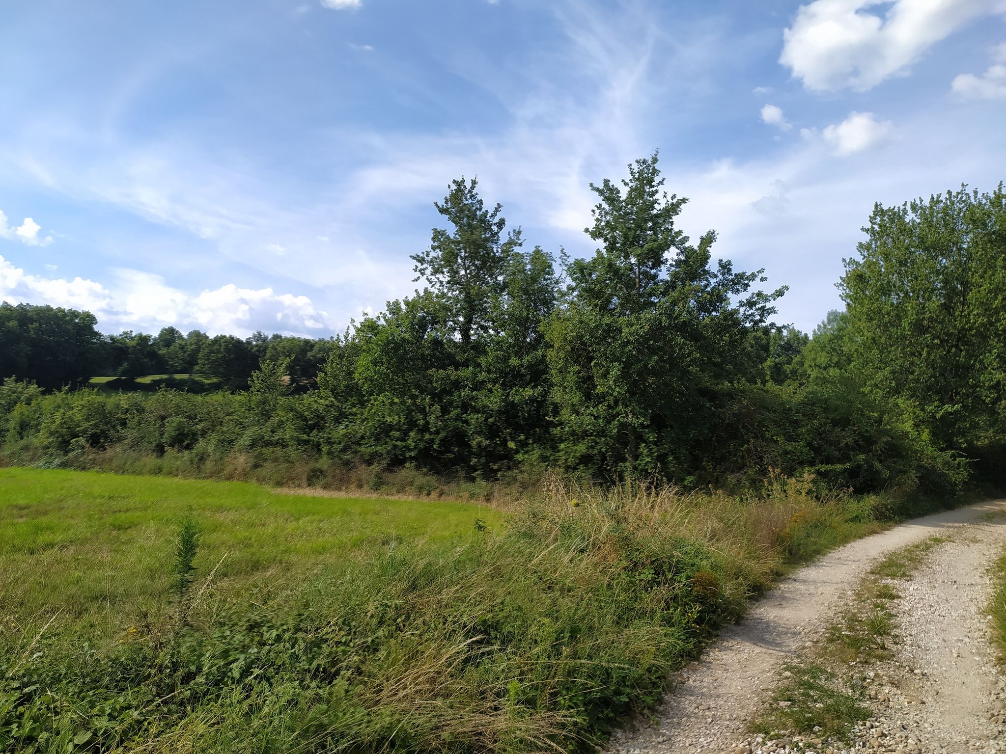
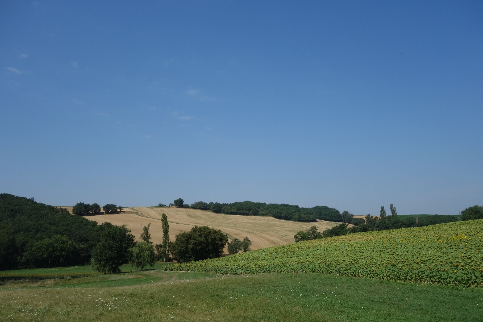
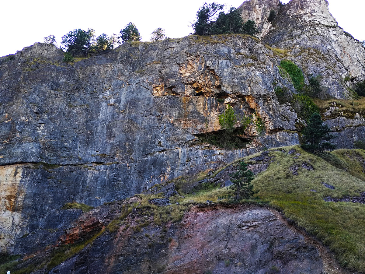
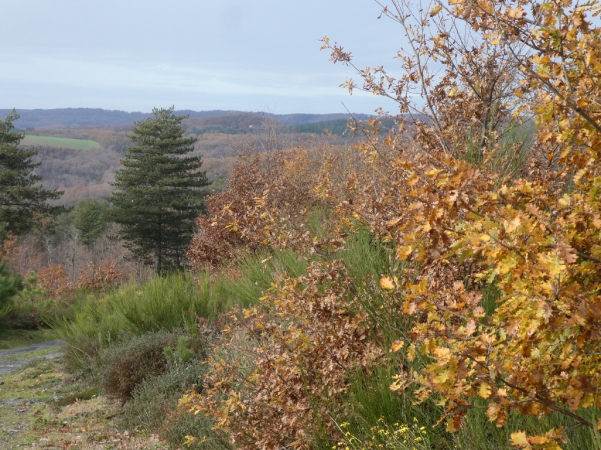
Departing from Serviès, this route begins by leaving the village by taking a tarmac road and then rushes into the woods of Rousieux. From there, the route takes place mainly in the forest and makes a nice loop before returning to the village by road.

Already more than 200,000 users!
Uphill
201m
Highest point
312m
Downhill
201m
Lowest point
158m
Route type
Loop
Download the map on your smartphone to save battery and rest assured to always keep access to the route, even without signal.
Includes IGN France and Swisstopo.
I indicate whether dogs are allowed or prohibited on this trail
All year
0 ratings
Also enjoy:

Already more than 200,000 users!