Uphill
13m
Length
6km
Duration
1h30min
Elev gain
13m
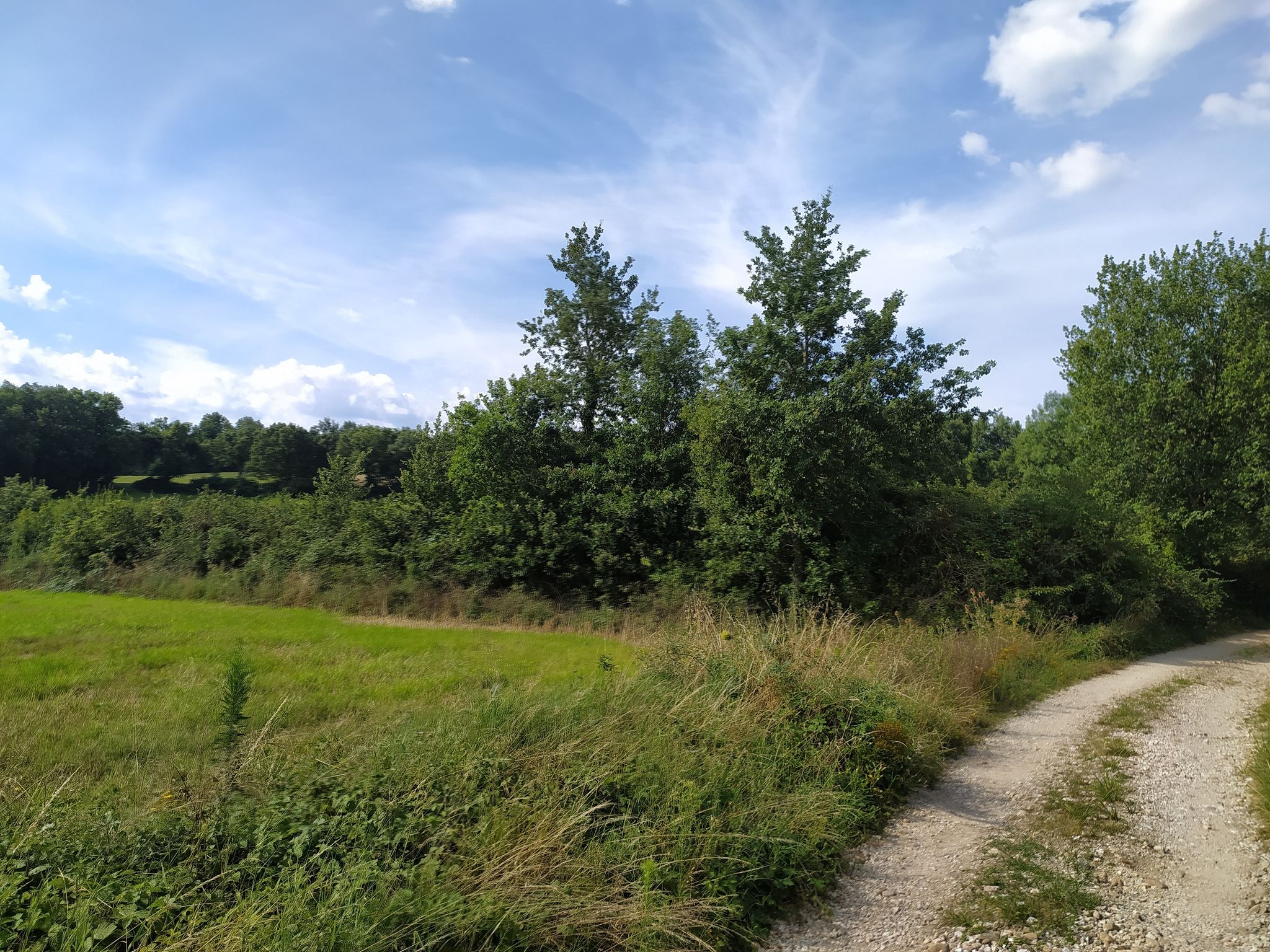
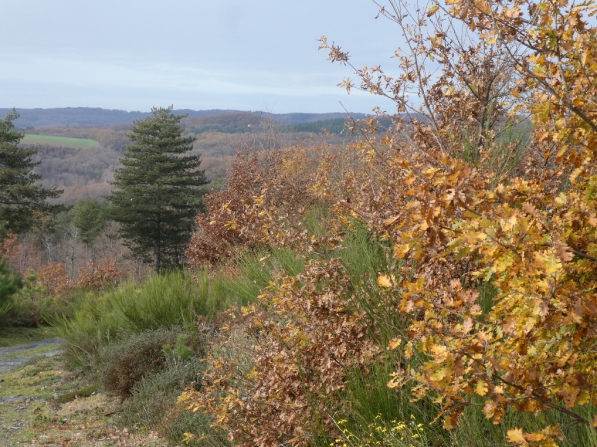
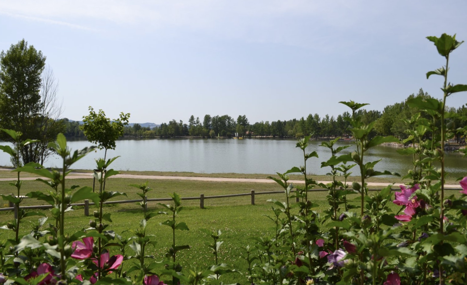
Family walk in the heart of the Cambounet-sur-le-Sor nature reserve and the Saïx leisure centre. The course makes a small loop around several small water reservoirs where it is possible to see pretty birds.

Already more than 200,000 users!
Uphill
13m
Highest point
166m
Downhill
13m
Lowest point
149m
Route type
Loop
Download the map on your smartphone to save battery and rest assured to always keep access to the route, even without signal.
Includes IGN France and Swisstopo.
I indicate whether dogs are allowed or prohibited on this trail
All year
0 ratings
Also enjoy:

Already more than 200,000 users!