Uphill
346m
France > Occitanie > Tarn > Haut-Languedoc Nature Park
Length
9km
Duration
3h30min
Elev gain
346m
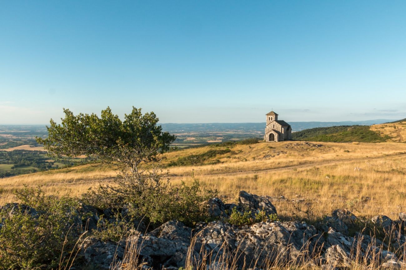
Departing from the small village of Dourgne, this walk follows in the footsteps of the great Dom Robert, painter and Benedictine. In order to discover the artist's works, many panels have been displayed along the route. The path, mainly in the undergrowth, passes by the very beautiful Saint-Ferréol chapel before returning to the starting point.

Already more than 200,000 users!
Uphill
346m
Highest point
583m
Downhill
346m
Lowest point
242m
Route type
Loop
Download the map on your smartphone to save battery and rest assured to always keep access to the route, even without signal.
Includes IGN France and Swisstopo.
I indicate whether dogs are allowed or prohibited on this trail
All year
1 rating
Also enjoy:

Already more than 200,000 users!


