Uphill
107m
Length
7km
Duration
2h
Elev gain
107m
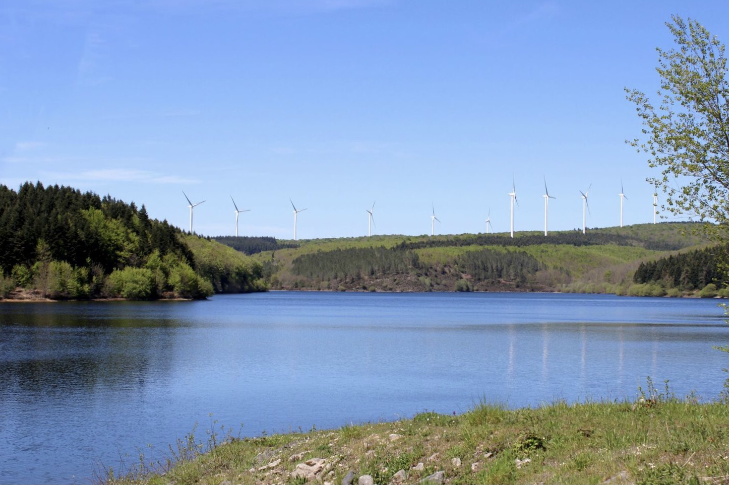
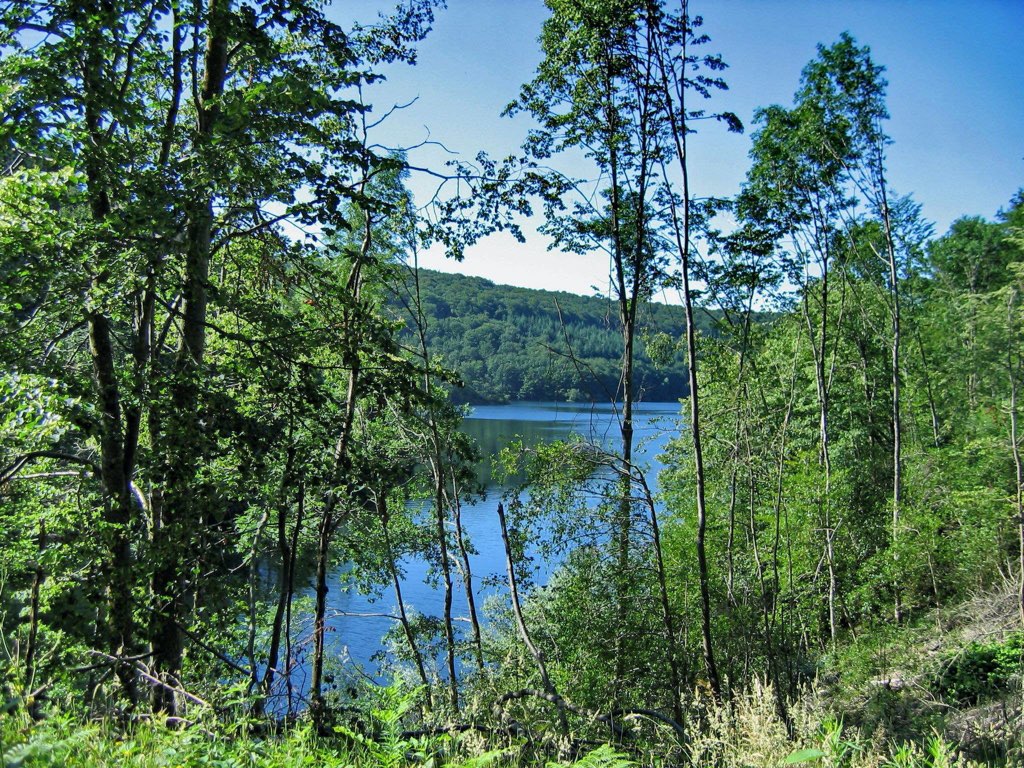
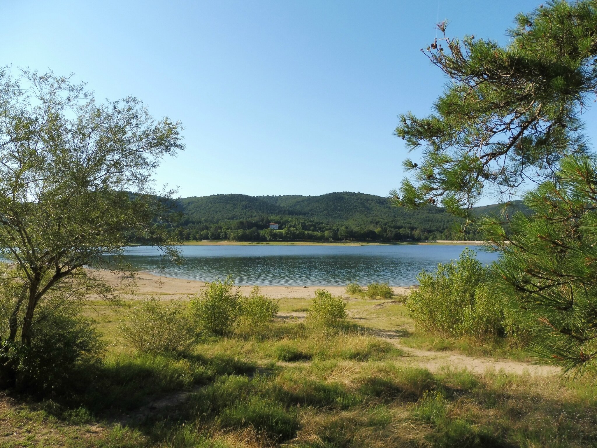
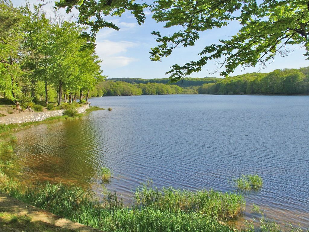
Departing from the pretty Lac du Lampy, this circuit begins by following the body of water, before making a loop in the forest on the heights. A beautiful walk in a natural setting.

Already more than 200,000 users!
Uphill
107m
Highest point
713m
Downhill
107m
Lowest point
641m
Route type
Loop
Download the map on your smartphone to save battery and rest assured to always keep access to the route, even without signal.
Includes IGN France and Swisstopo.
I indicate whether dogs are allowed or prohibited on this trail
All year
1 rating
Also enjoy:

Already more than 200,000 users!