Uphill
256m
Length
8km
Duration
3h
Elev gain
256m
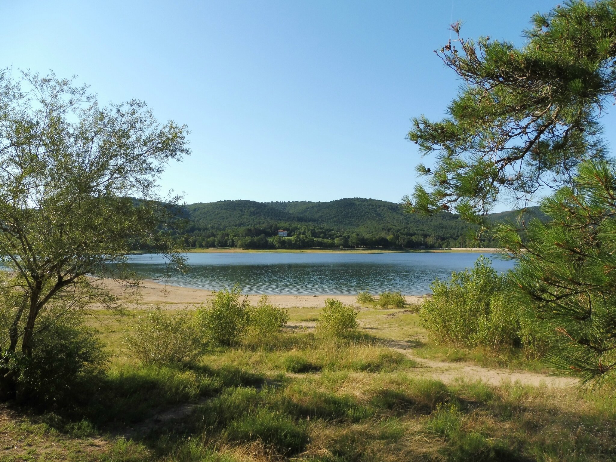
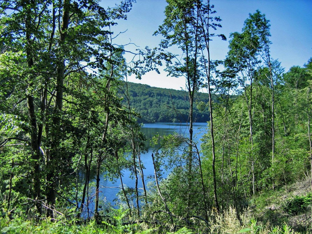
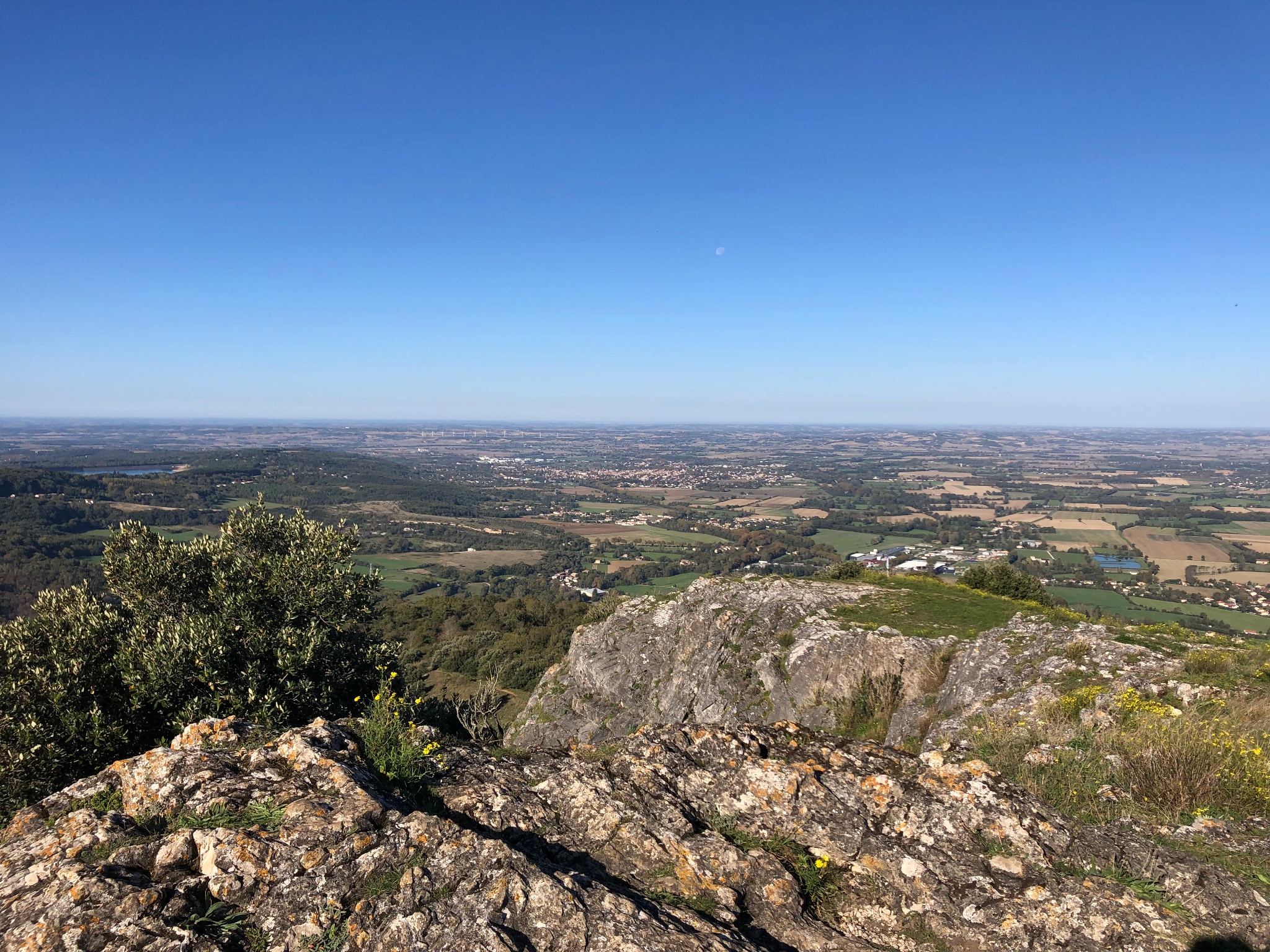
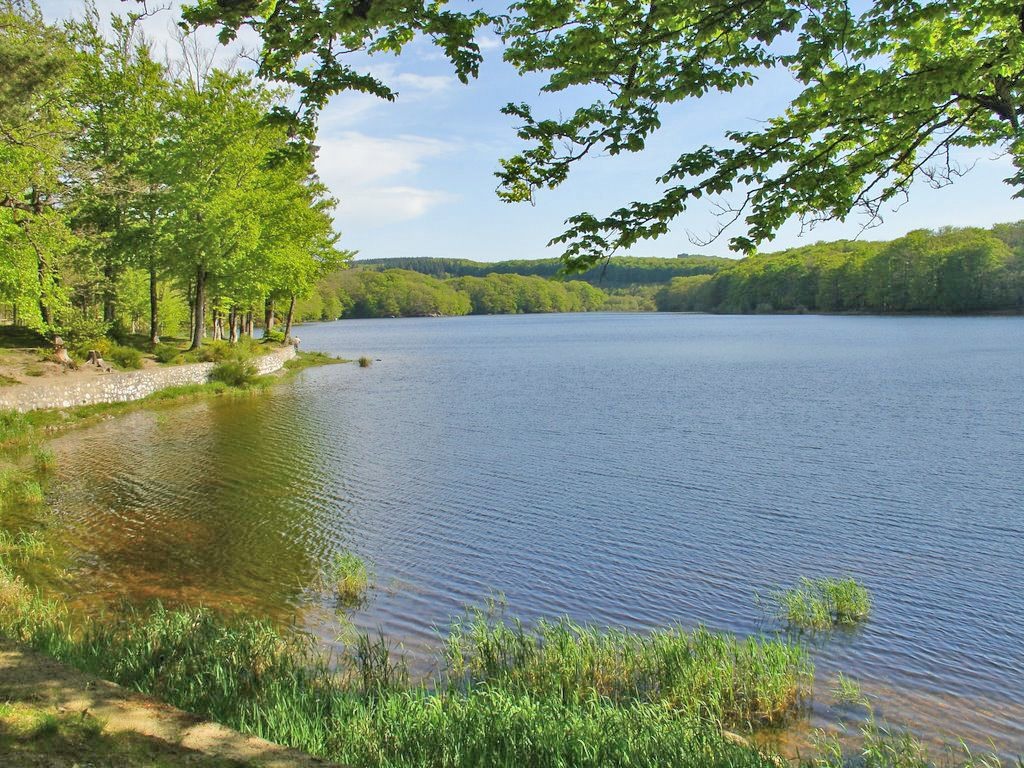
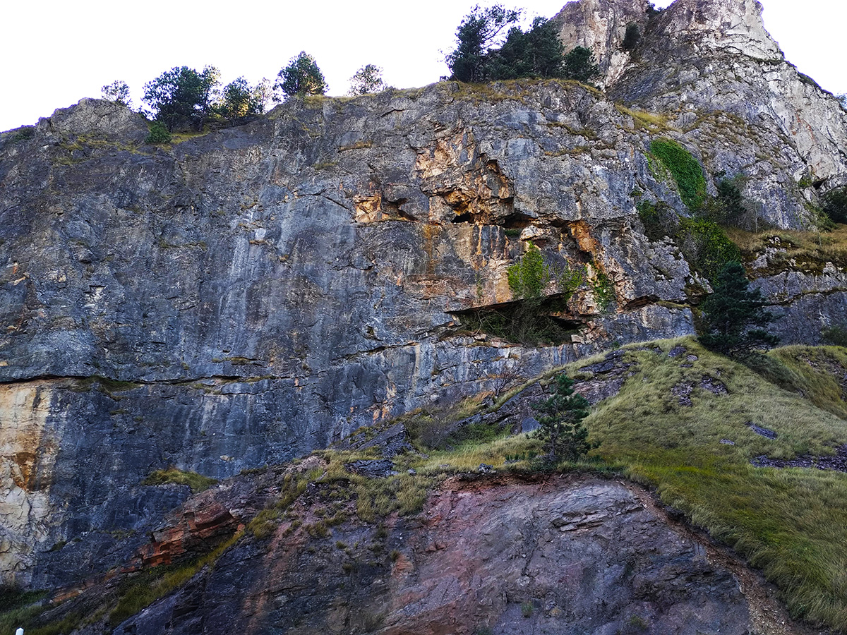
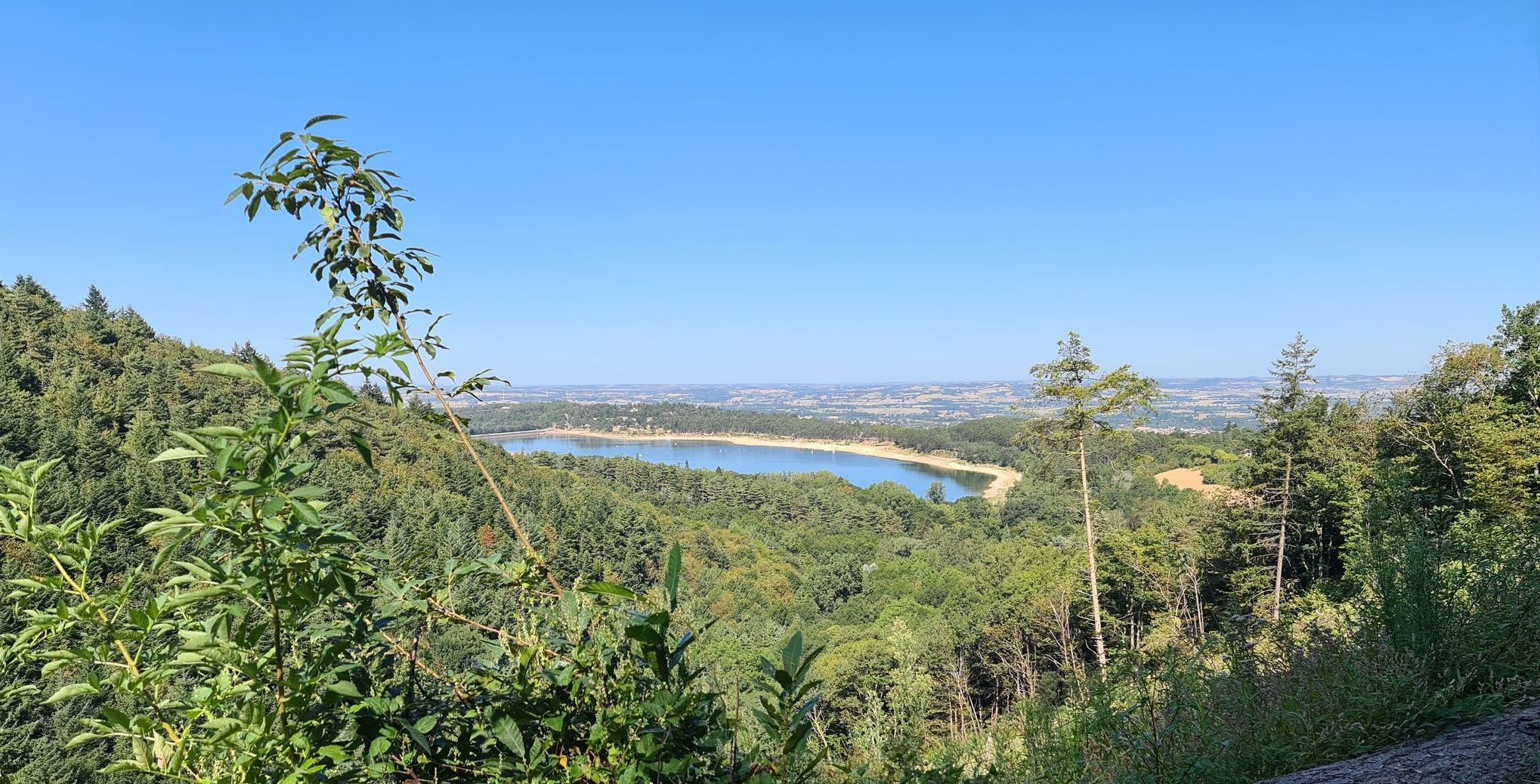
Departing from Les Cammazes, this route makes a nice loop, mainly in the forest, passing through the Roc de l'Homme culminating at 653 meters above sea level. Pretty viewpoints in perspective, between the lakes of Cammazes and Saint-Ferréol.

Already more than 200,000 users!
Uphill
256m
Highest point
650m
Downhill
256m
Lowest point
469m
Route type
Loop
Download the map on your smartphone to save battery and rest assured to always keep access to the route, even without signal.
Includes IGN France and Swisstopo.
I indicate whether dogs are allowed or prohibited on this trail
All year
1 rating
Also enjoy:

Already more than 200,000 users!