Uphill
235m
Length
10km
Duration
3h
Elev gain
235m
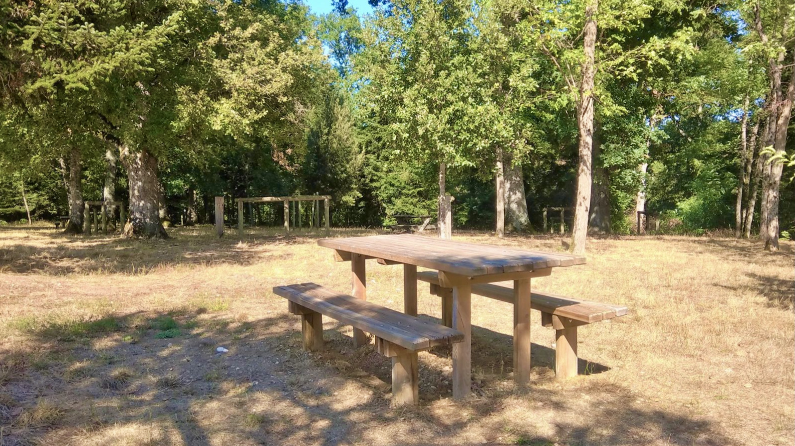
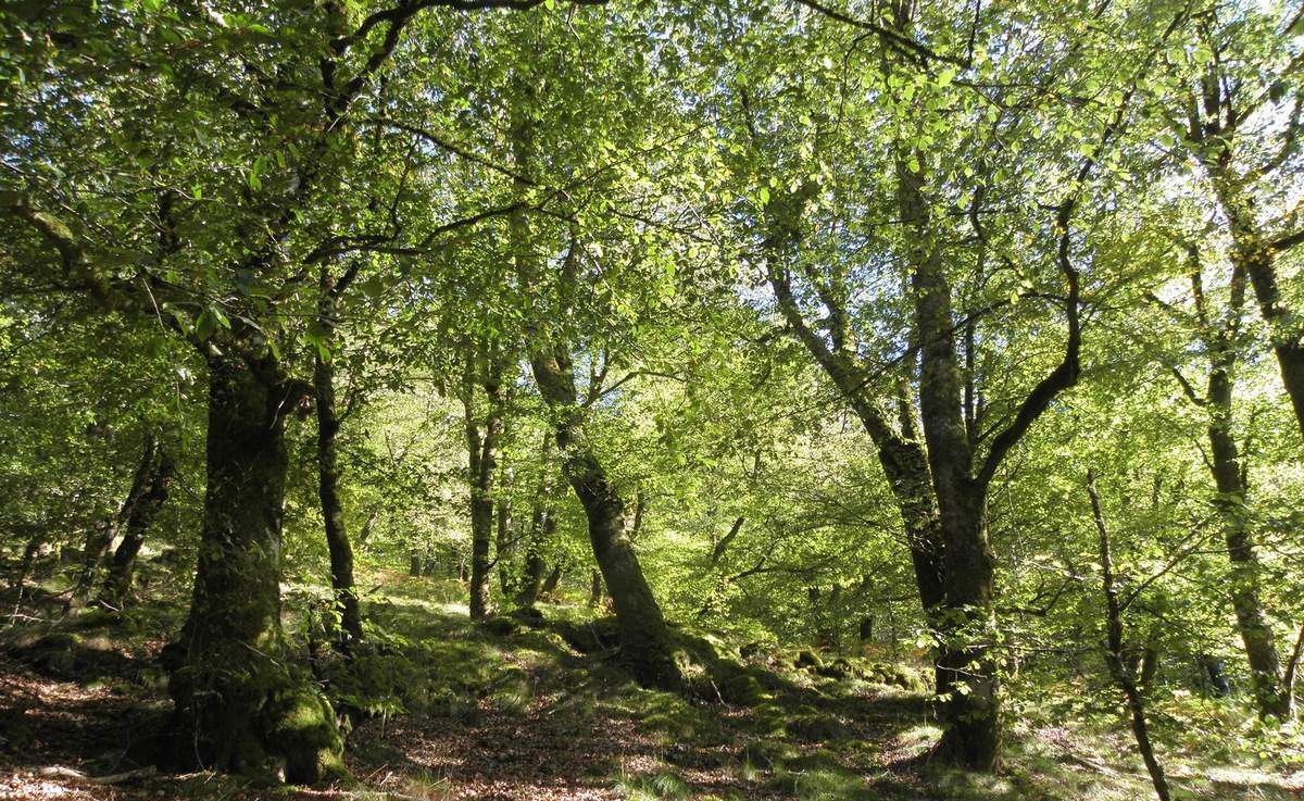
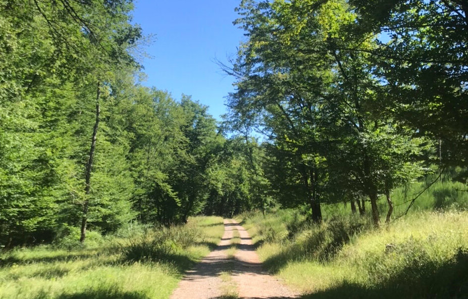
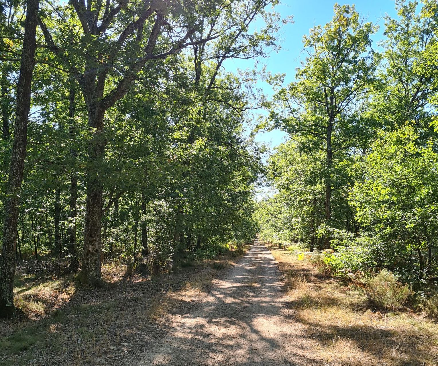
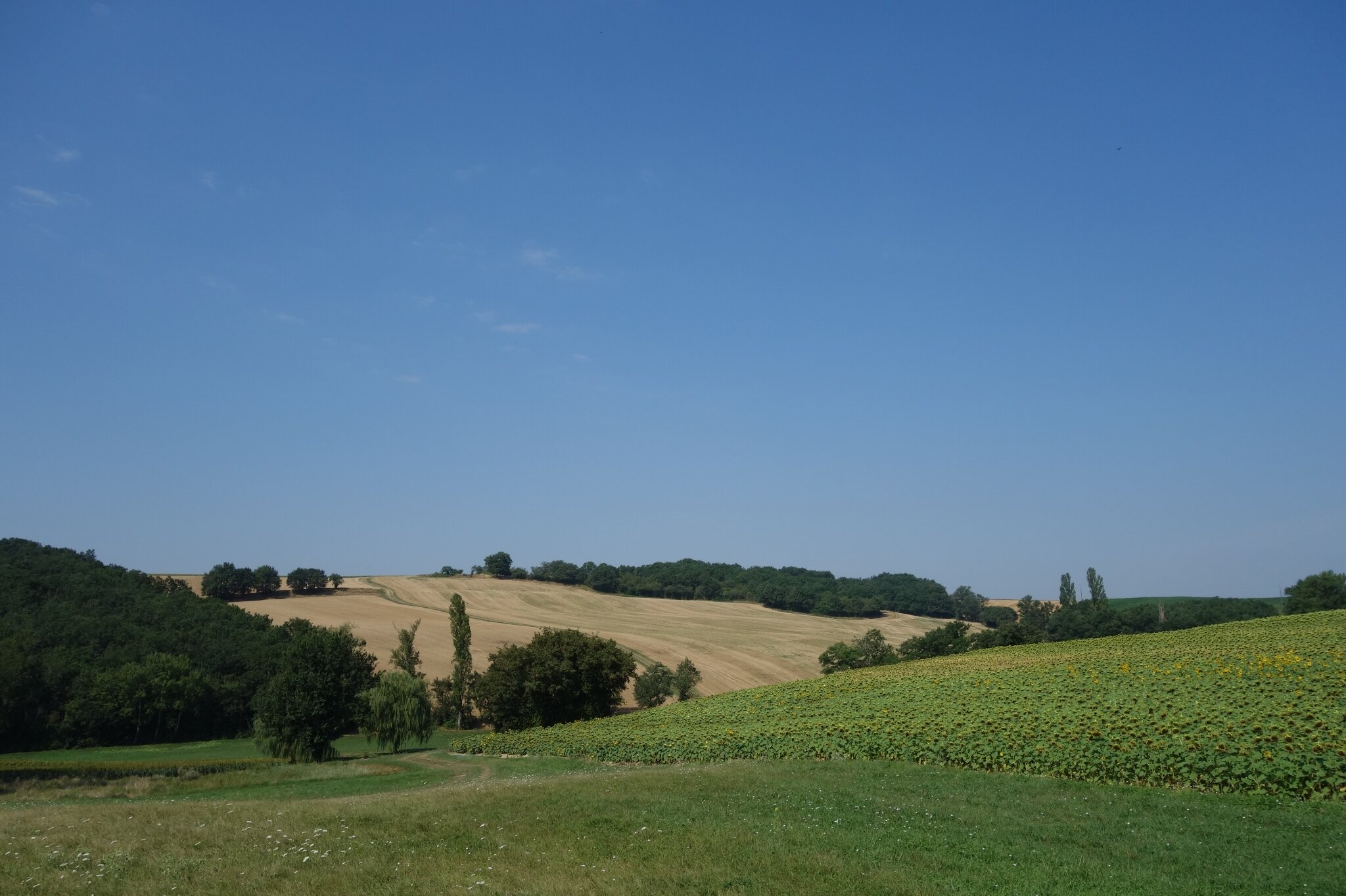
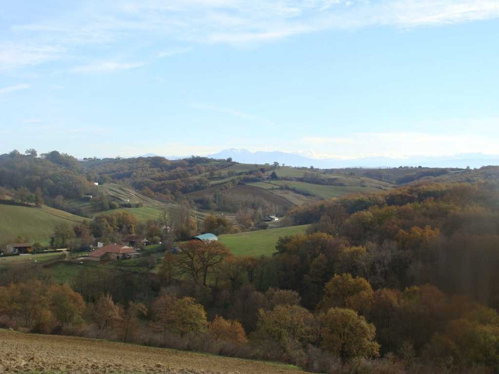
Between forest, fields and vineyards, this hike takes place on the heights of Gaillac. Known and recognized for its wine, this town is also called the "little Tuscany".

Already more than 200,000 users!
Uphill
235m
Highest point
281m
Downhill
235m
Lowest point
156m
Route type
Loop
Download the map on your smartphone to save battery and rest assured to always keep access to the route, even without signal.
Includes IGN France and Swisstopo.
I indicate whether dogs are allowed or prohibited on this trail
All year
1 rating
Also enjoy:

Already more than 200,000 users!