Uphill
238m
Length
11km
Duration
3h30min
Elev gain
238m
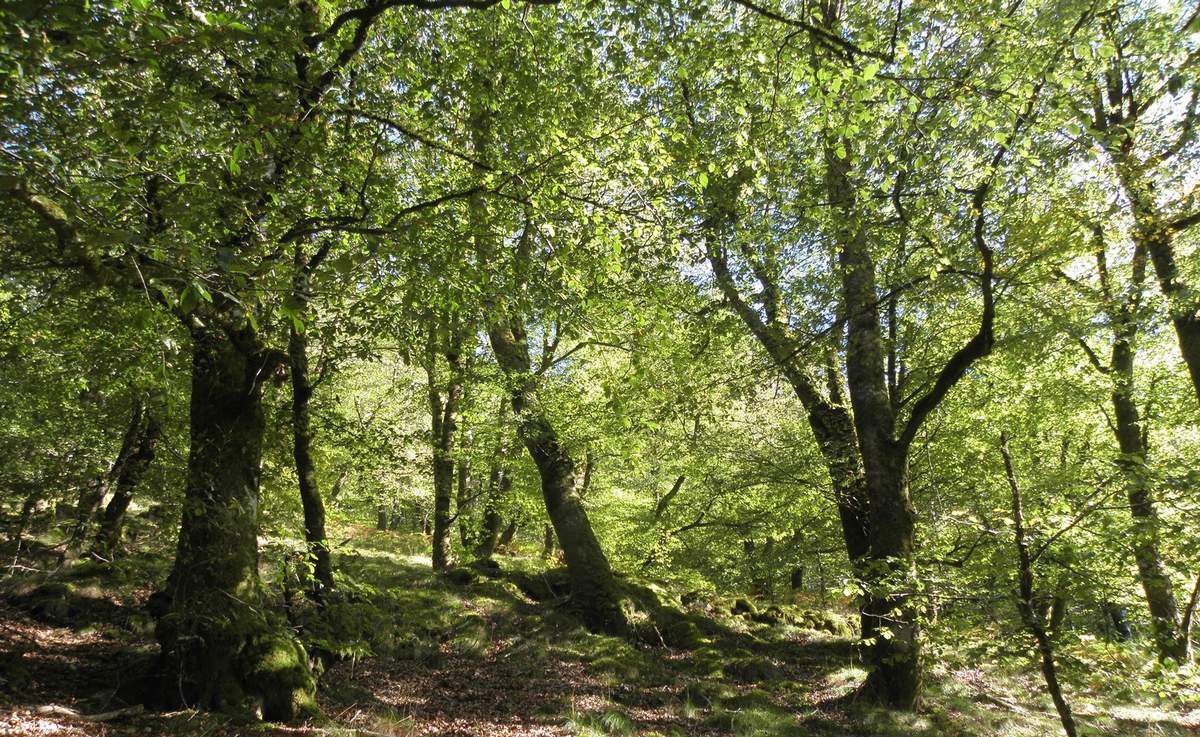
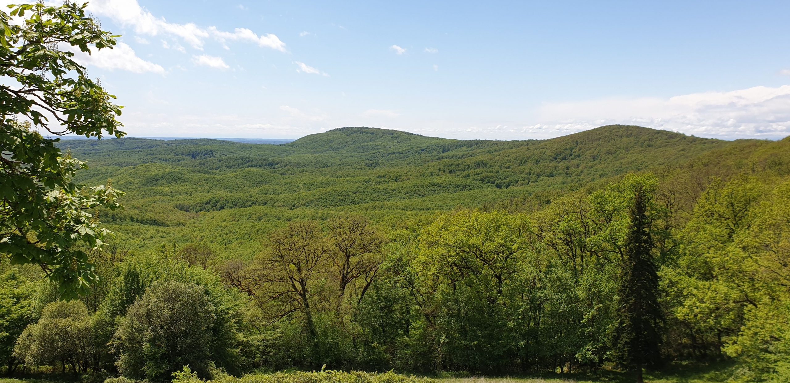
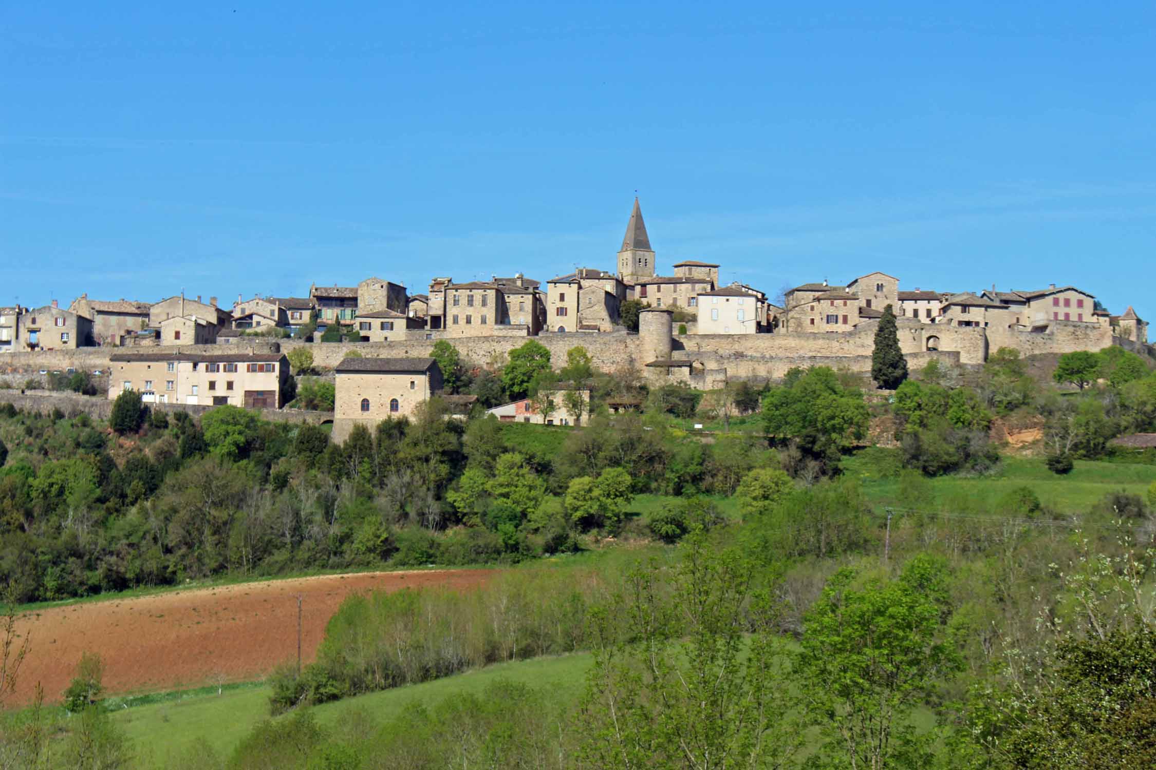
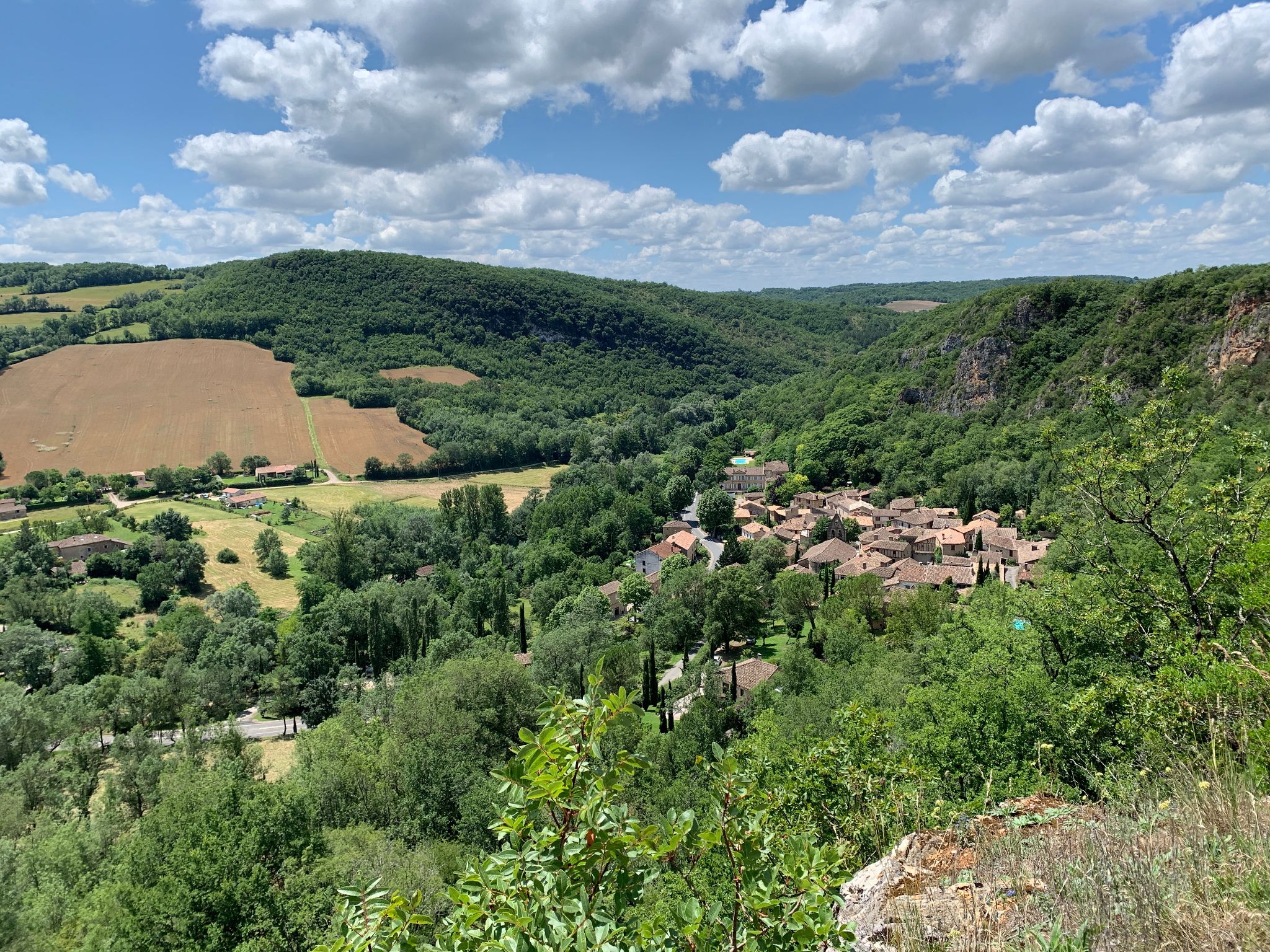
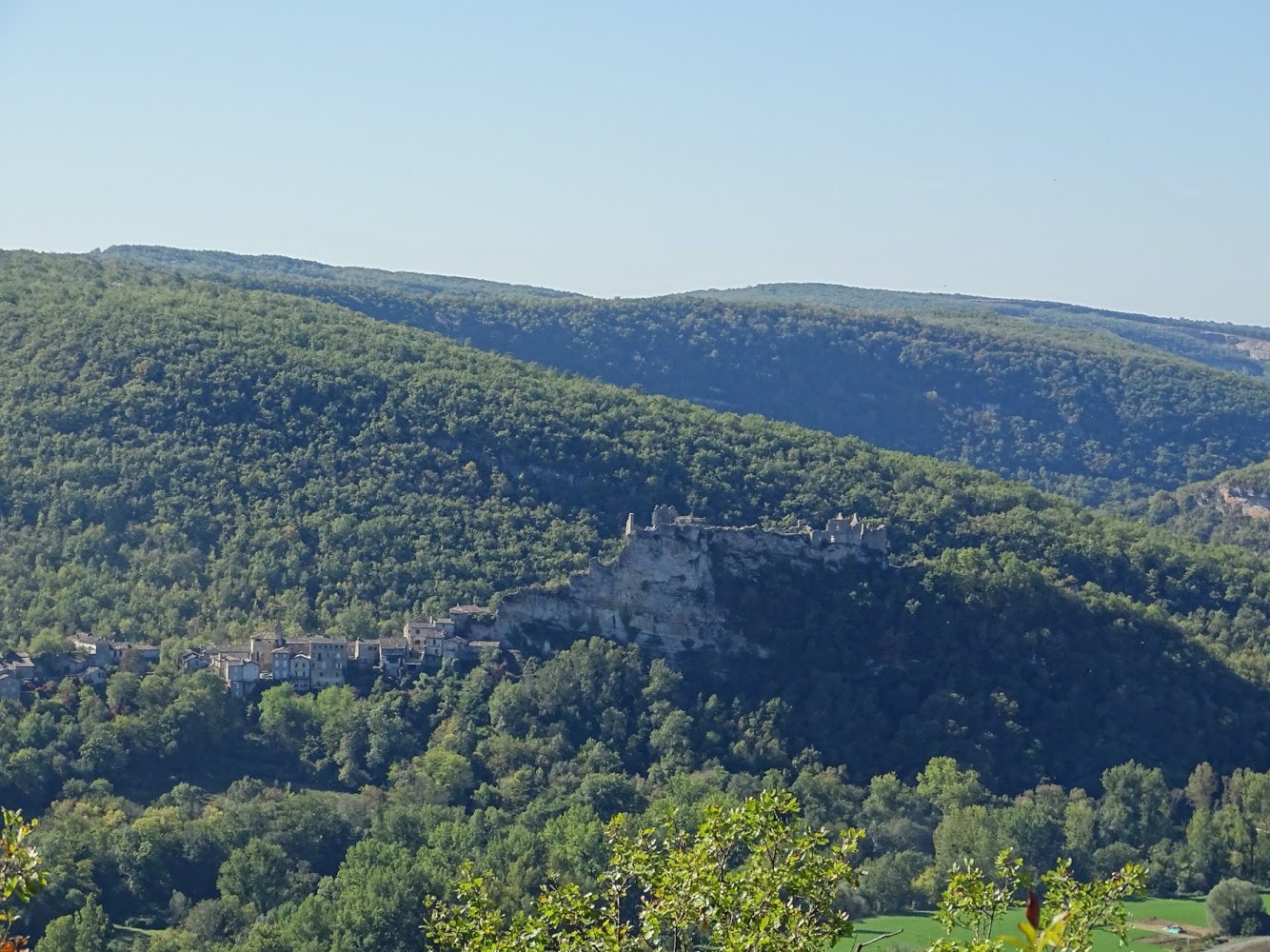
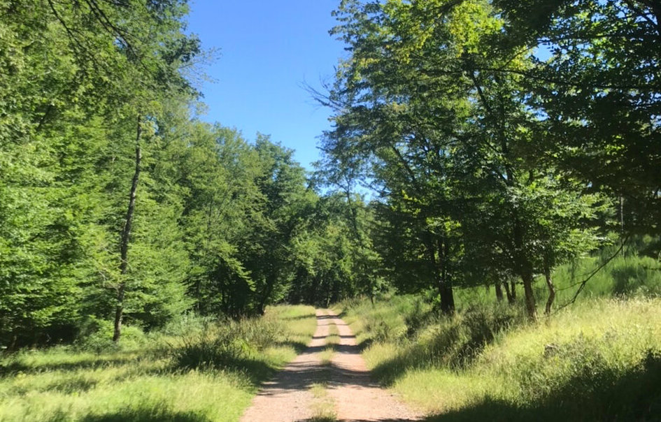
This hike takes place in Castelnau-de-Montmiral. The route makes a loop within the forest of Grésigne and winds around four different streams: the Rô Oriental, the Infernou, the Riou Nègre and the Baronne.

Already more than 200,000 users!
Uphill
238m
Highest point
364m
Downhill
238m
Lowest point
219m
Route type
Loop
Download the map on your smartphone to save battery and rest assured to always keep access to the route, even without signal.
Includes IGN France and Swisstopo.
I indicate whether dogs are allowed or prohibited on this trail
All year
1 rating
Also enjoy:

Already more than 200,000 users!