Uphill
319m
Length
15km
Duration
4h30min
Elev gain
319m
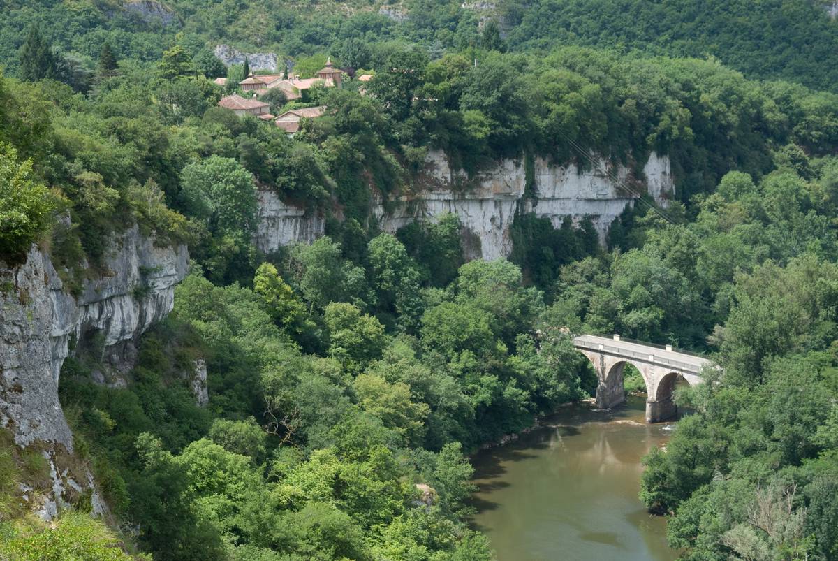
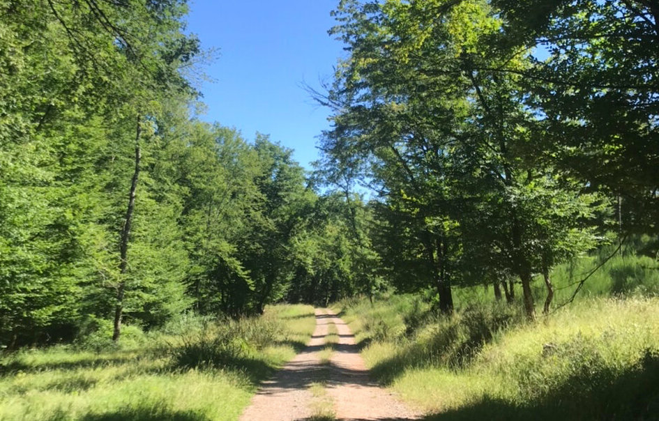
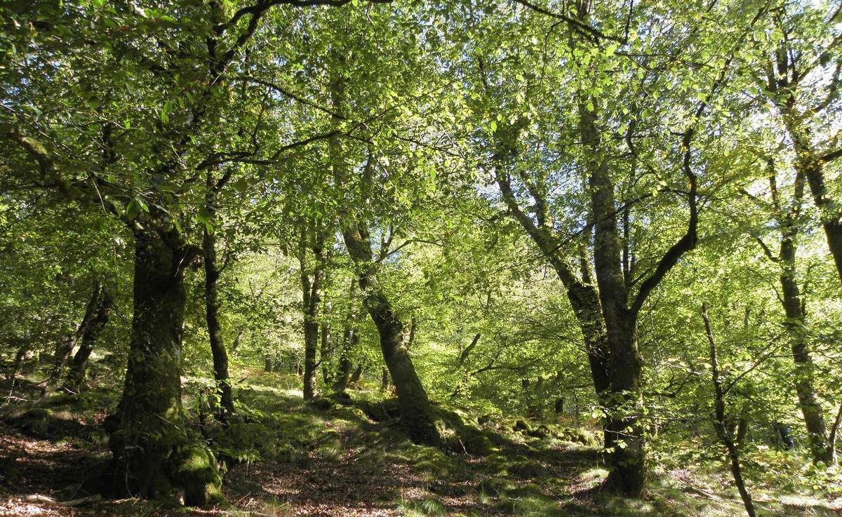
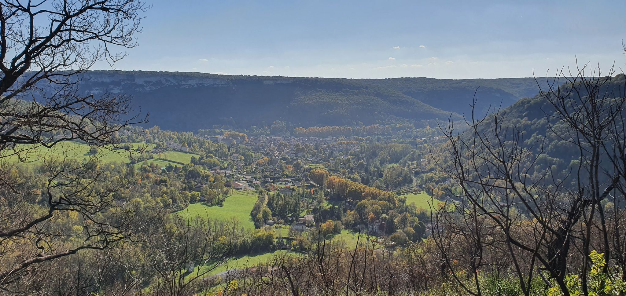
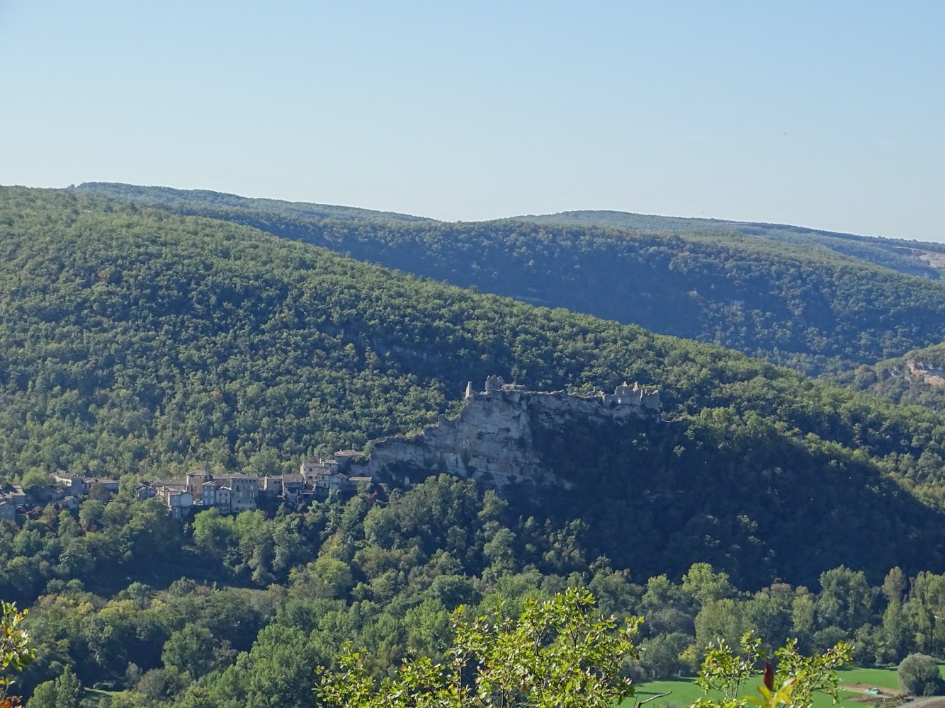
This hike allows you to reach the Suquets belvedere, which offers a lovely view of Penne and its surroundings. The rest of the route is mainly in the forest, with some glimpses of the Aveyron gorges.

Already more than 200,000 users!
Uphill
319m
Highest point
353m
Downhill
319m
Lowest point
95m
Route type
Loop
Download the map on your smartphone to save battery and rest assured to always keep access to the route, even without signal.
Includes IGN France and Swisstopo.
I indicate whether dogs are allowed or prohibited on this trail
All year
0 ratings
Also enjoy:

Already more than 200,000 users!