Uphill
235m
Length
12km
Duration
3h30min
Elev gain
235m
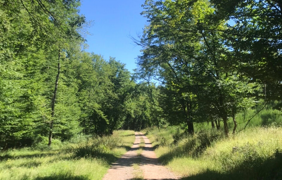
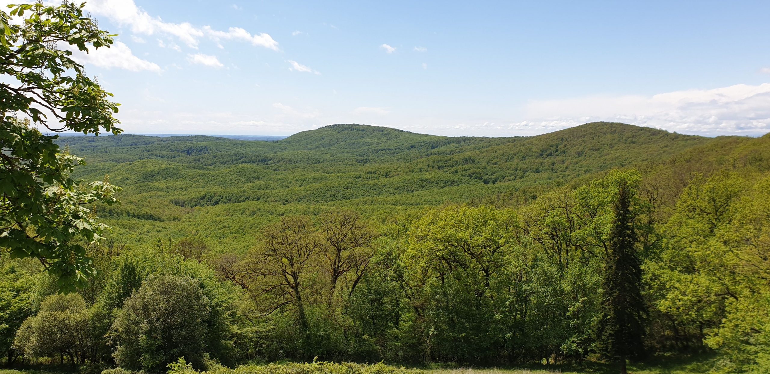
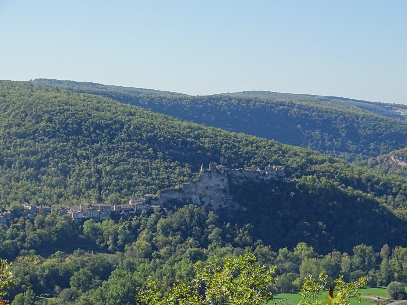
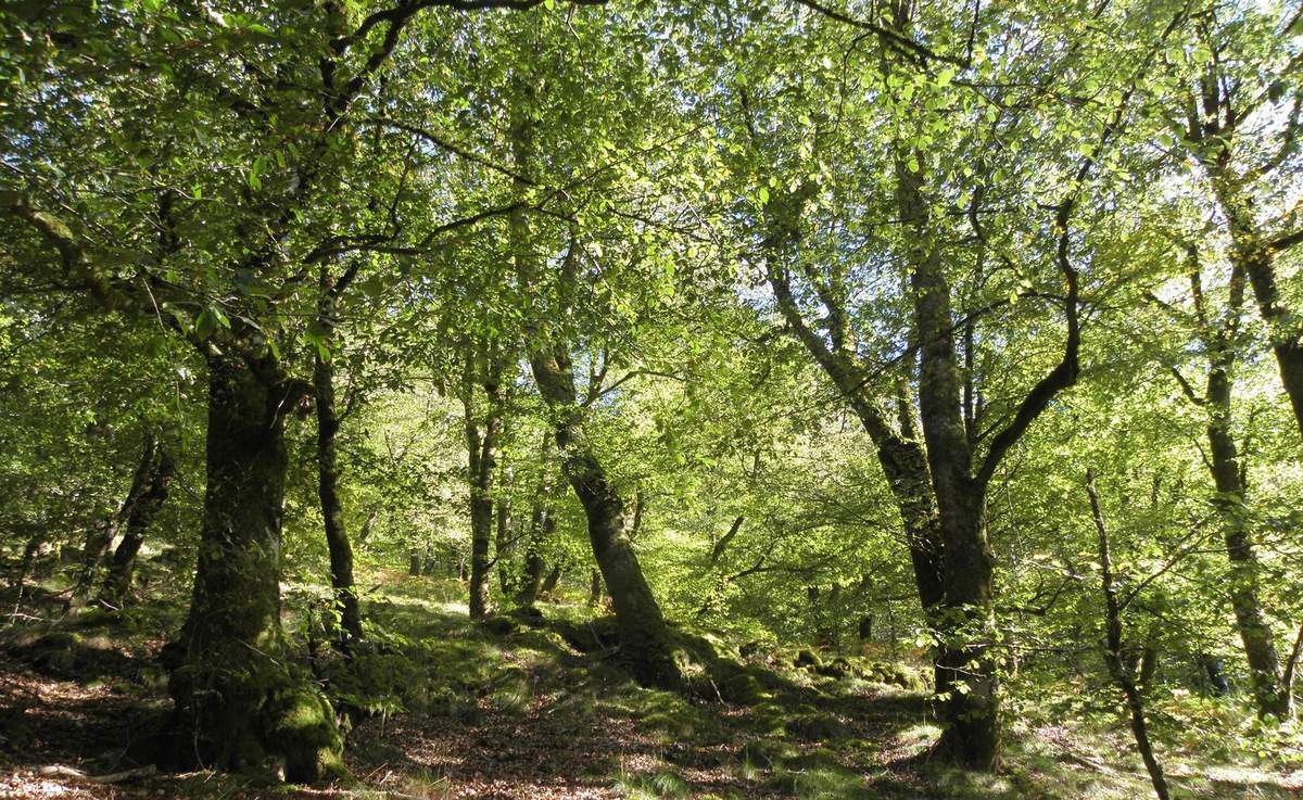
Walk through the Grésigne forest, the largest oak grove in the south of France. The hike mainly follows forest roads.

Already more than 200,000 users!
Uphill
235m
Highest point
413m
Downhill
235m
Lowest point
219m
Route type
Loop
Download the map on your smartphone to save battery and rest assured to always keep access to the route, even without signal.
Includes IGN France and Swisstopo.
I indicate whether dogs are allowed or prohibited on this trail
All year
1 rating
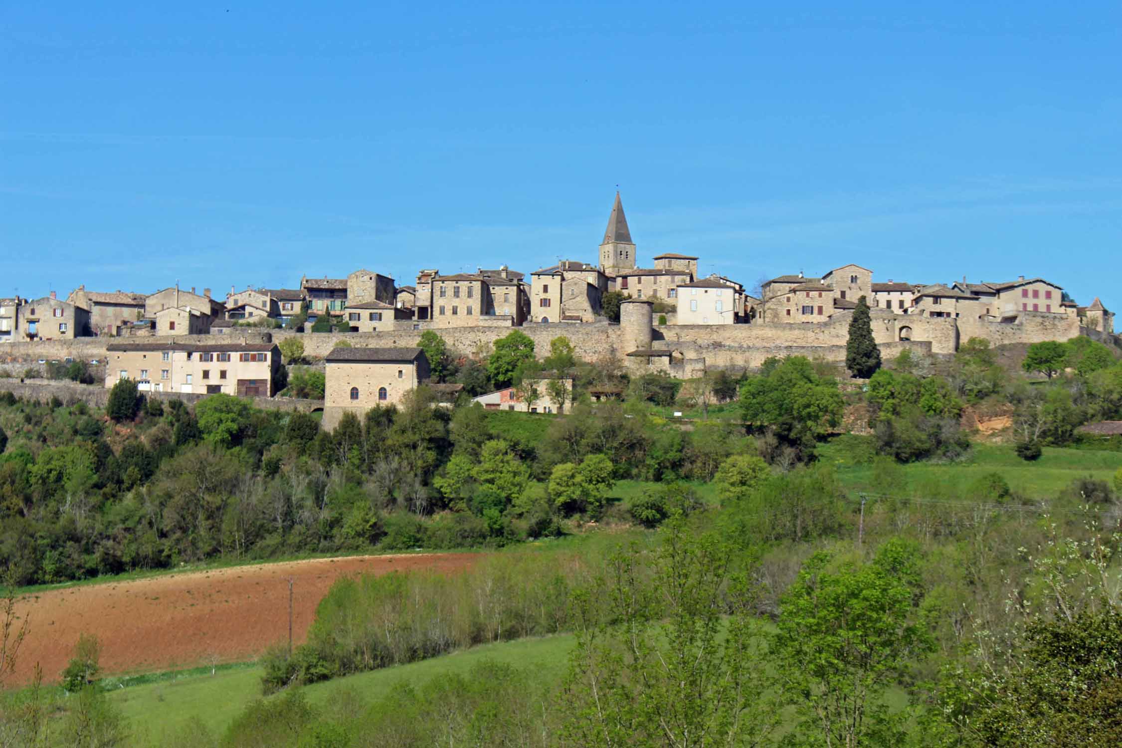
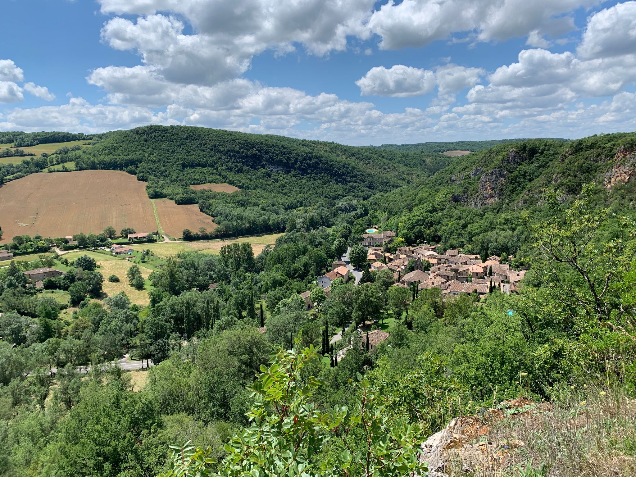
Also enjoy:

Already more than 200,000 users!