Uphill
538m

Length
16km
Duration
5h30min
Elev gain
538m
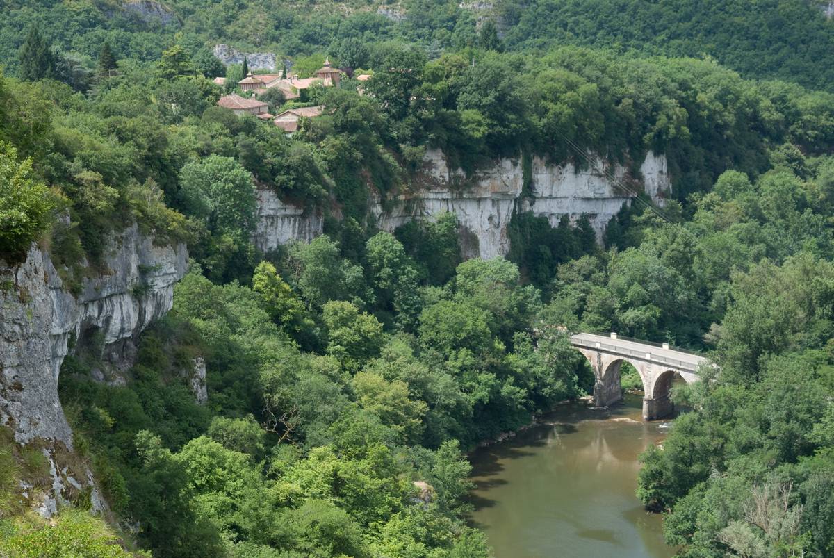
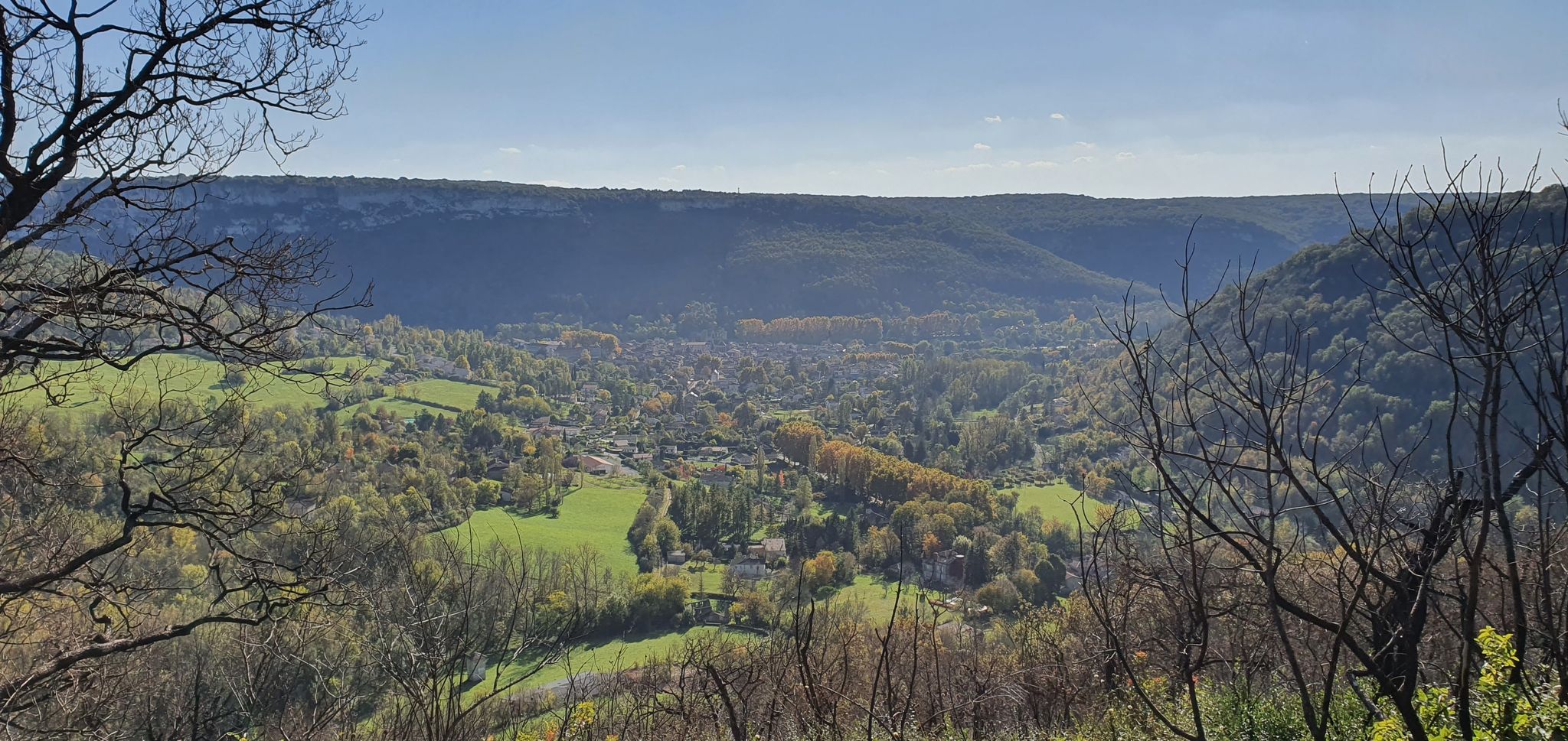
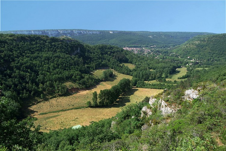
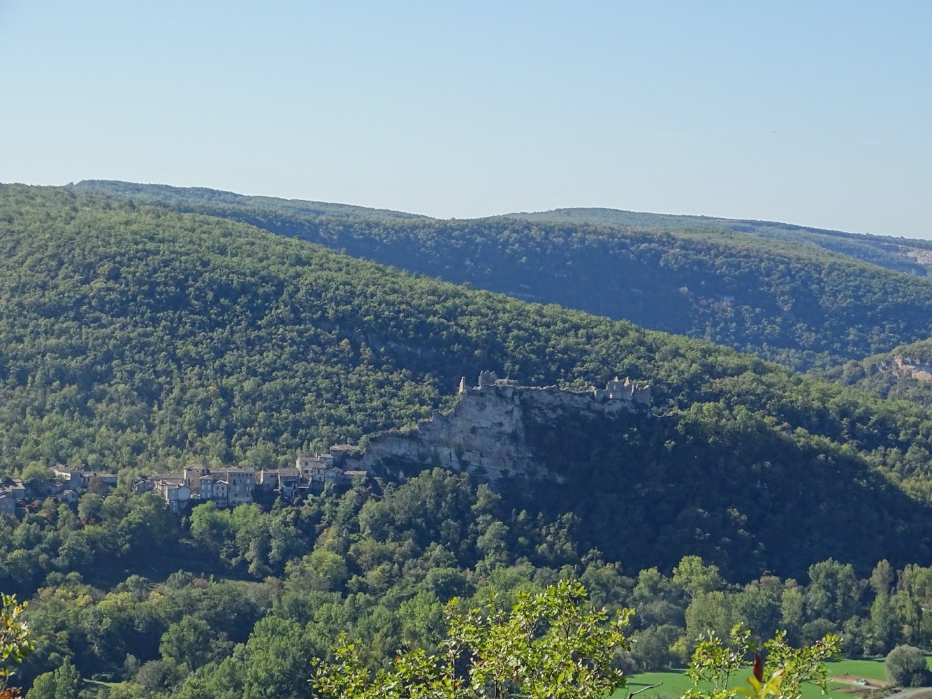
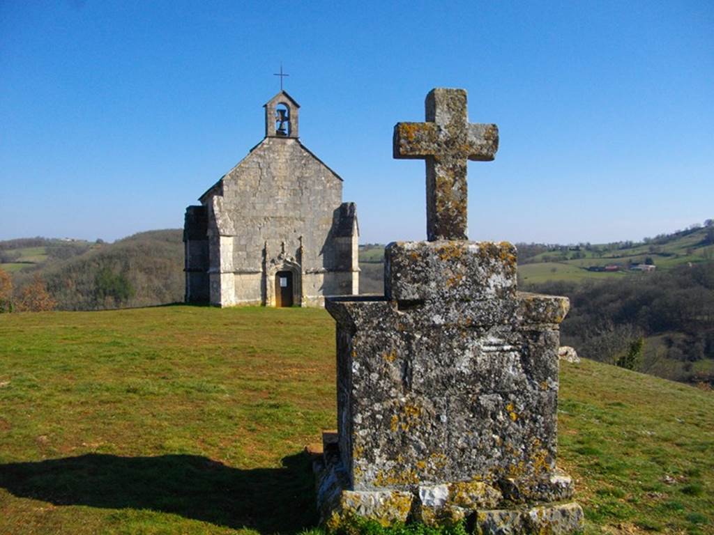
Walk on the banks of the Aveyron, which allows you to enjoy some views of the river and the cirque de Bône.

Already more than 200,000 users!
Uphill
538m
Highest point
330m
Downhill
538m
Lowest point
109m
Route type
Loop
Download the map on your smartphone to save battery and rest assured to always keep access to the route, even without signal.
Includes IGN France and Swisstopo.
I indicate whether dogs are allowed or prohibited on this trail
All year
1 rating
Alors jolie mais j ai pas pu la faire en entière j ai croisé 3 patou qui était ma fois très gardien 😂😂
Also enjoy:

Already more than 200,000 users!