Uphill
27m
Length
2km
Duration
30min
Elev gain
27m
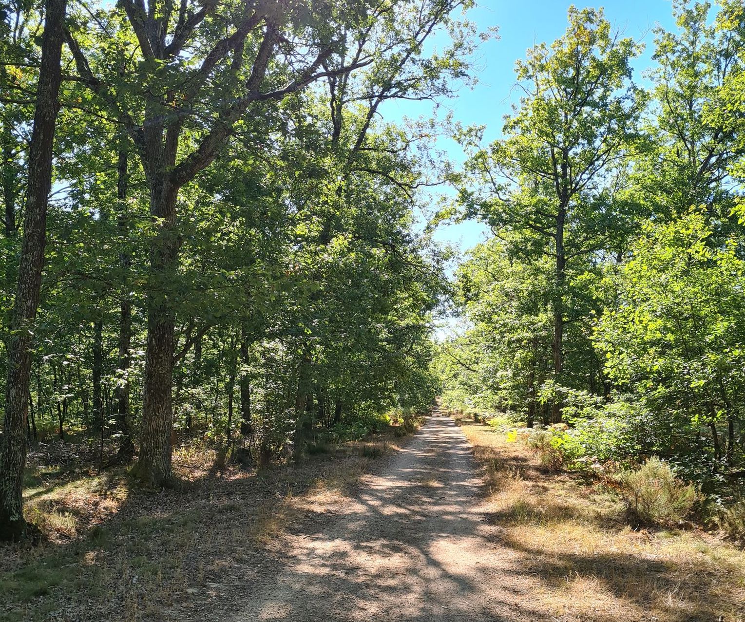
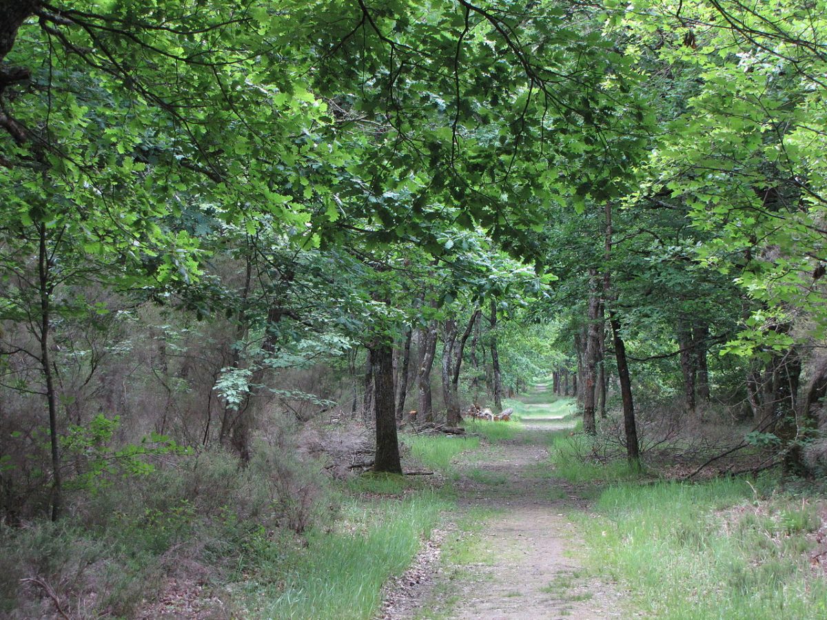
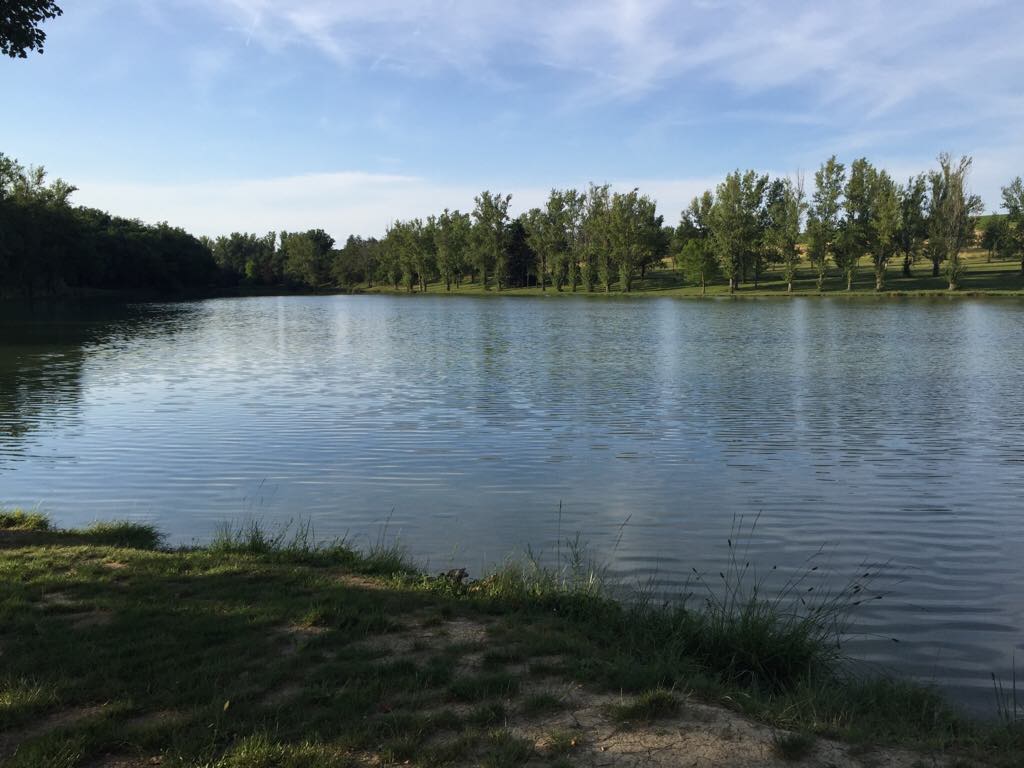
Family walk around the Auzerals lake. The route takes a wide track and goes around the body of water, with a forest on one side and fields on the other.

Already more than 200,000 users!
Uphill
27m
Highest point
174m
Downhill
27m
Lowest point
144m
Route type
Loop
Download the map on your smartphone to save battery and rest assured to always keep access to the route, even without signal.
Includes IGN France and Swisstopo.
I indicate whether dogs are allowed or prohibited on this trail
All year
1 rating
Also enjoy:

Already more than 200,000 users!