Uphill
314m
Length
14km
Duration
4h
Elev gain
314m
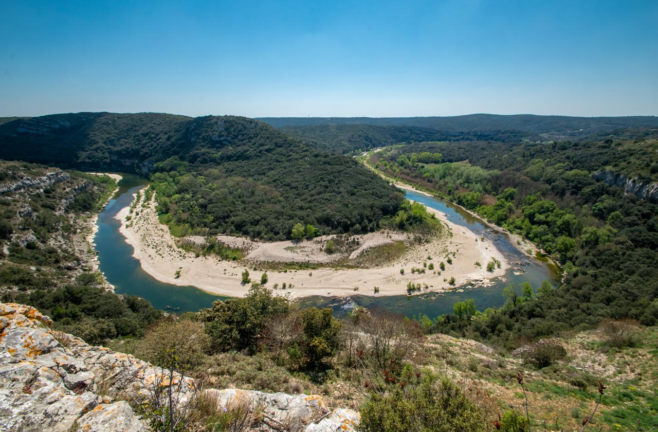
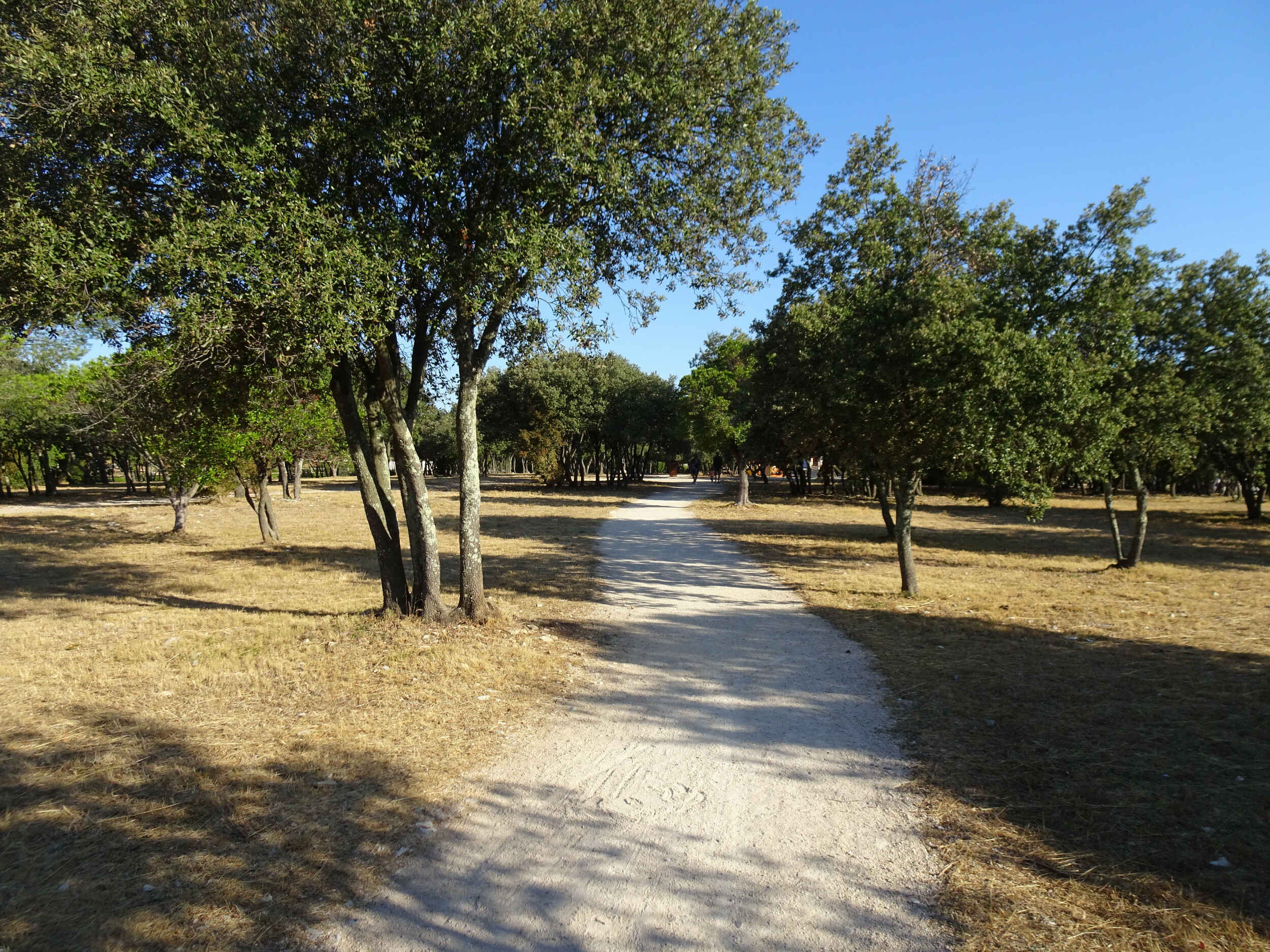
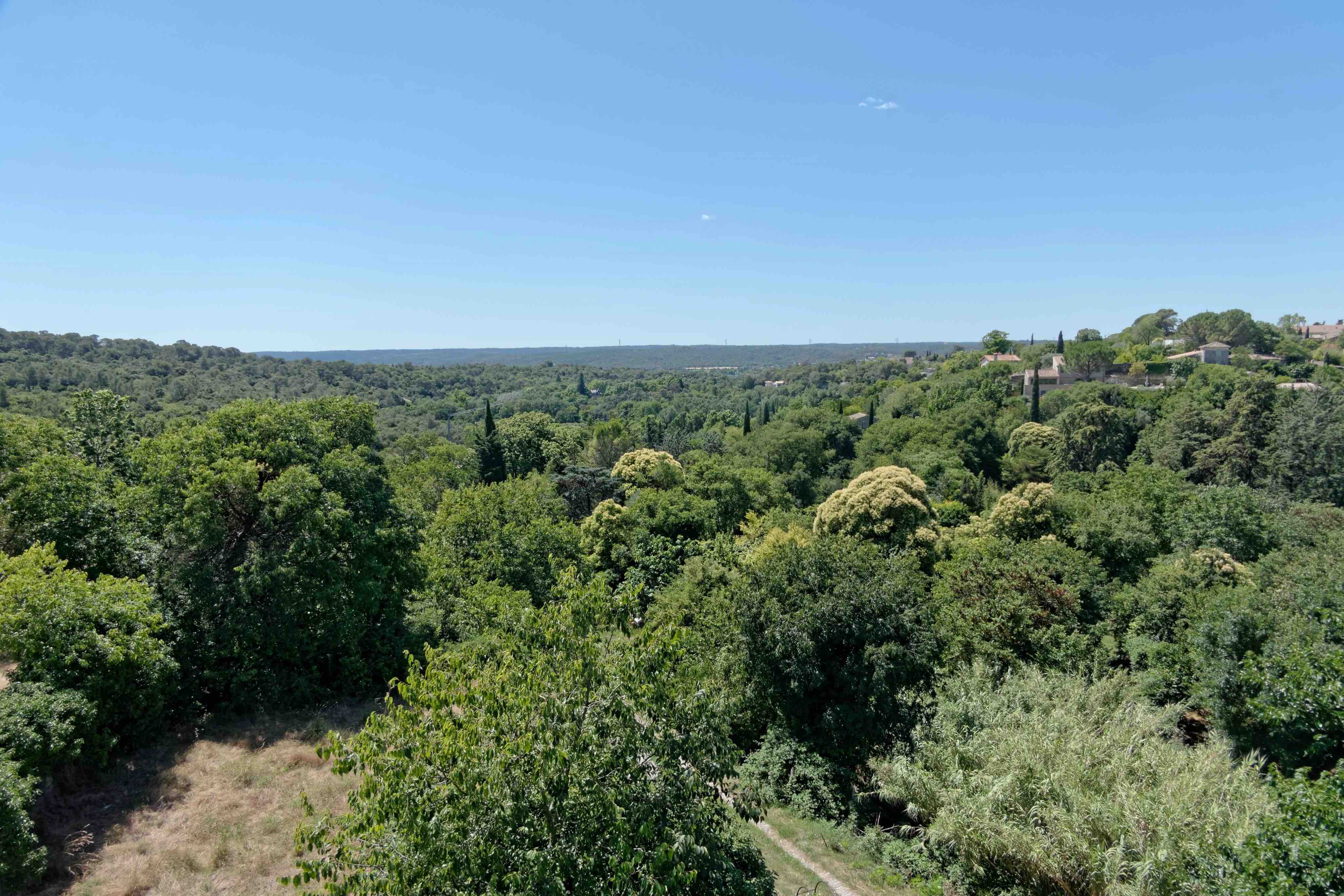
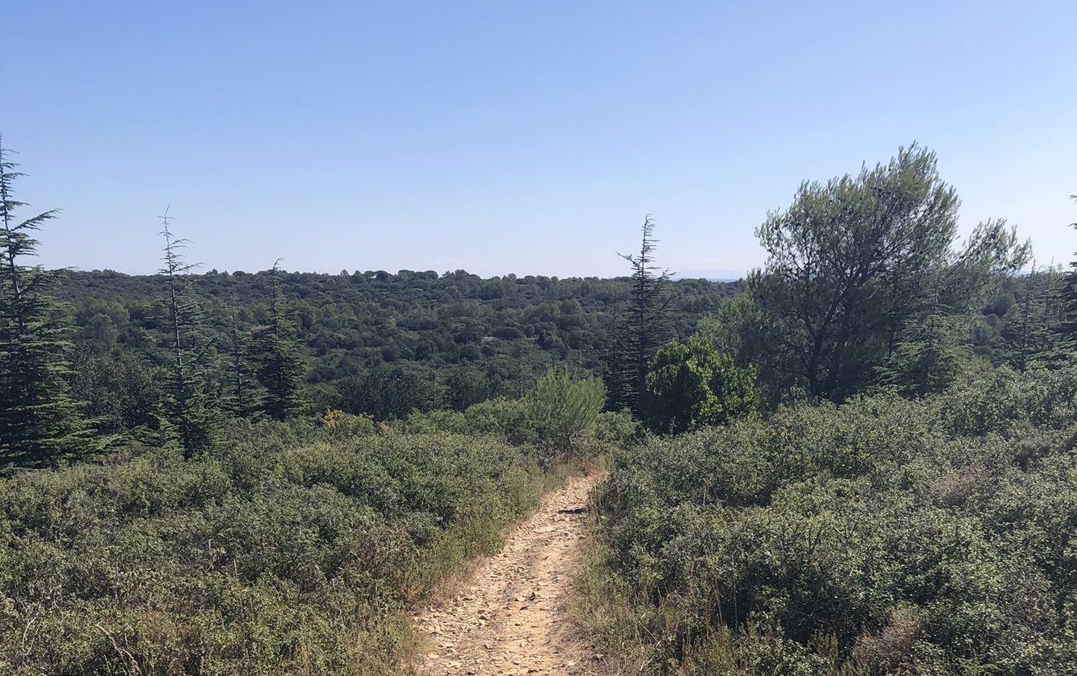
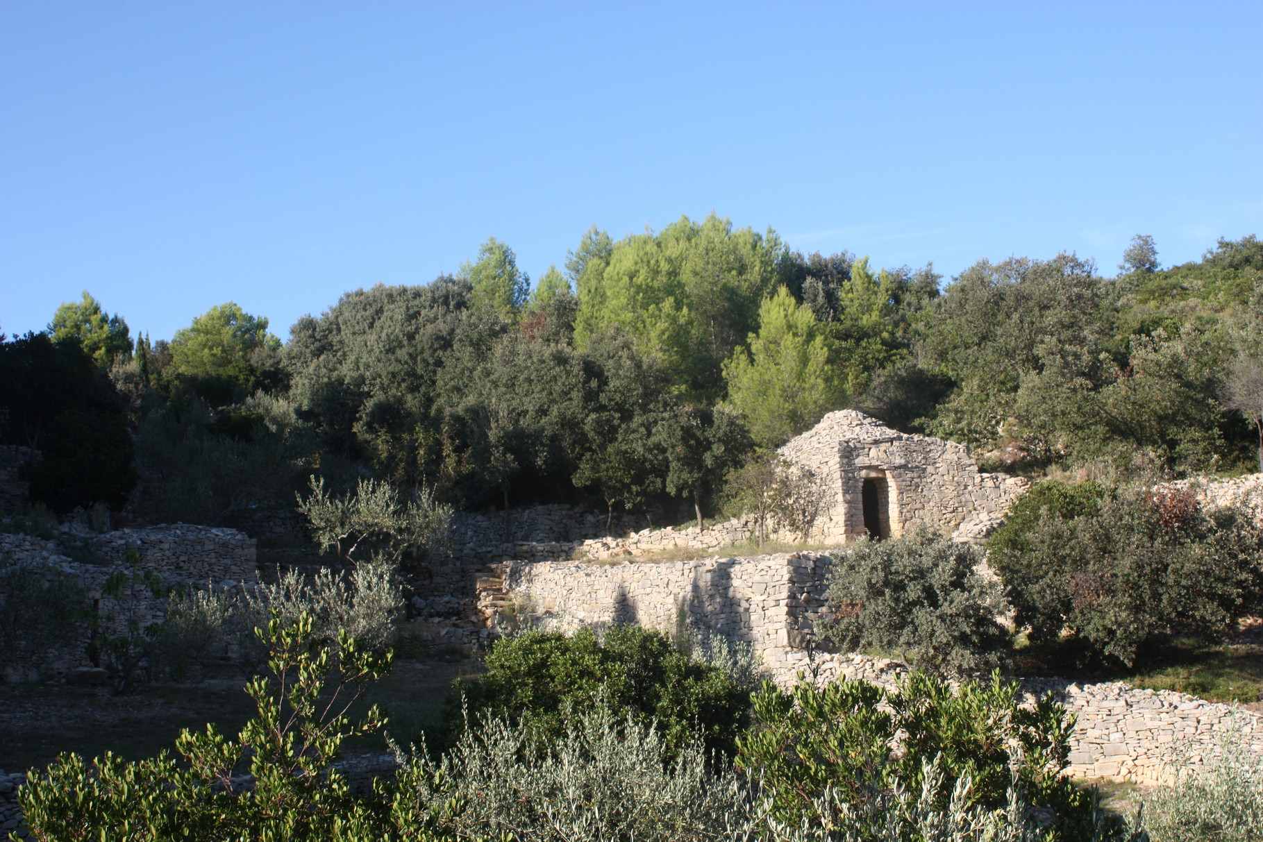
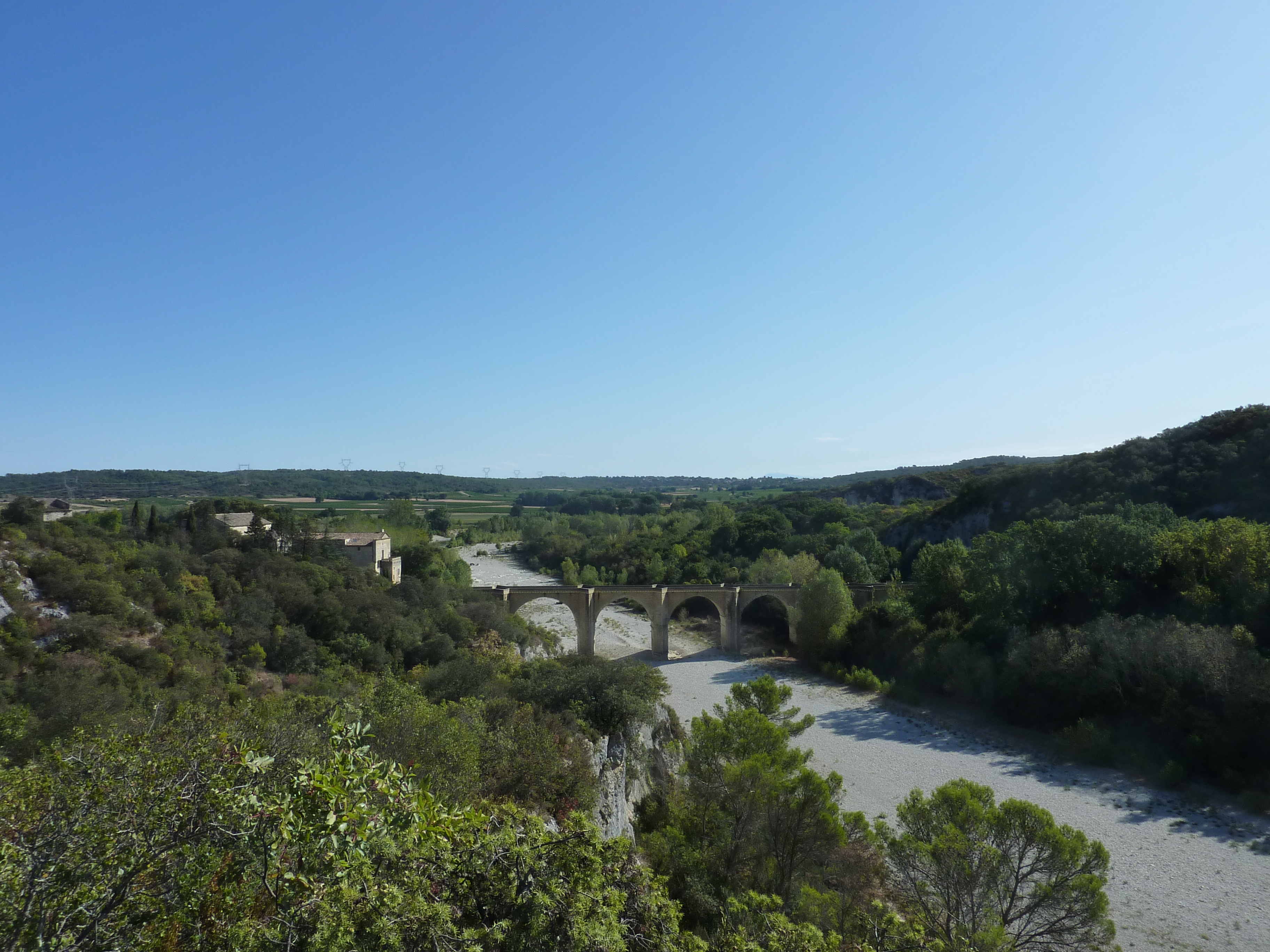
Leaving from Saint-Anastasie, this path passes through Vic then very close to Saint-Nicolas de Campagnac before following the Gardon. The path gains height and offers pretty views of the valley. It is necessary to provide good shoes because the path is sometimes steep and rocky.

Already more than 200,000 users!
Uphill
314m
Highest point
184m
Downhill
314m
Lowest point
52m
Route type
Loop
Download the map on your smartphone to save battery and rest assured to always keep access to the route, even without signal.
Includes IGN France and Swisstopo.
I indicate whether dogs are allowed or prohibited on this trail
All year
0 ratings
Also enjoy:

Already more than 200,000 users!