Uphill
142m
Length
5km
Duration
1h30min
Elev gain
142m
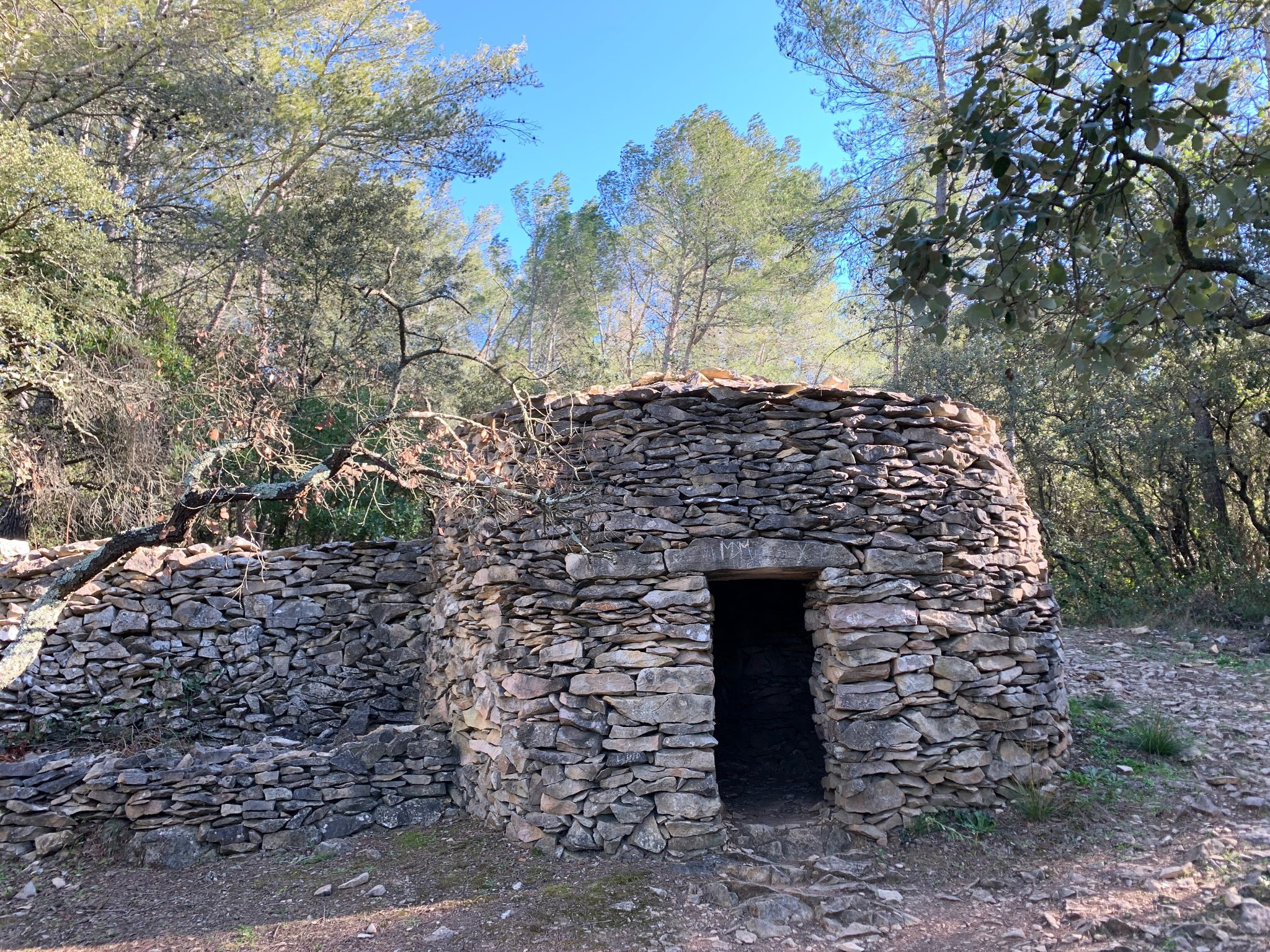
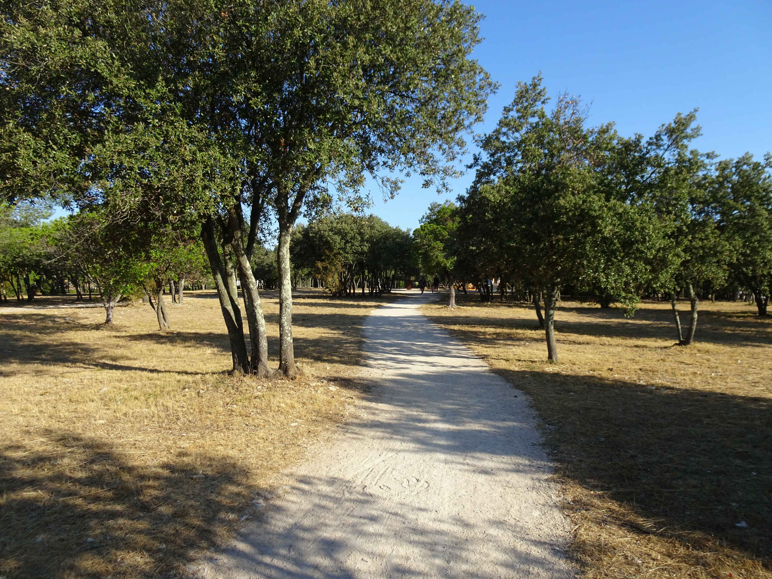
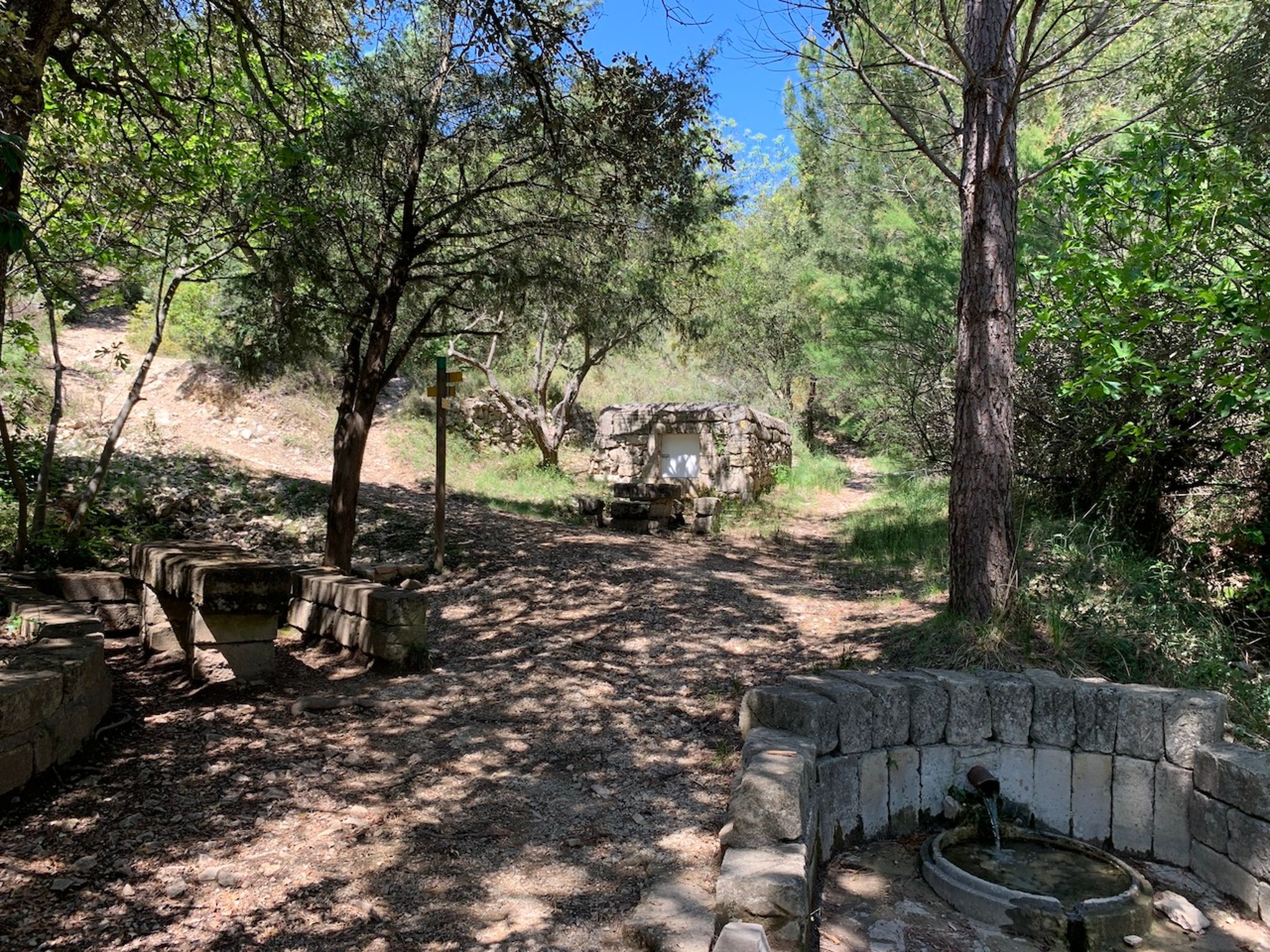
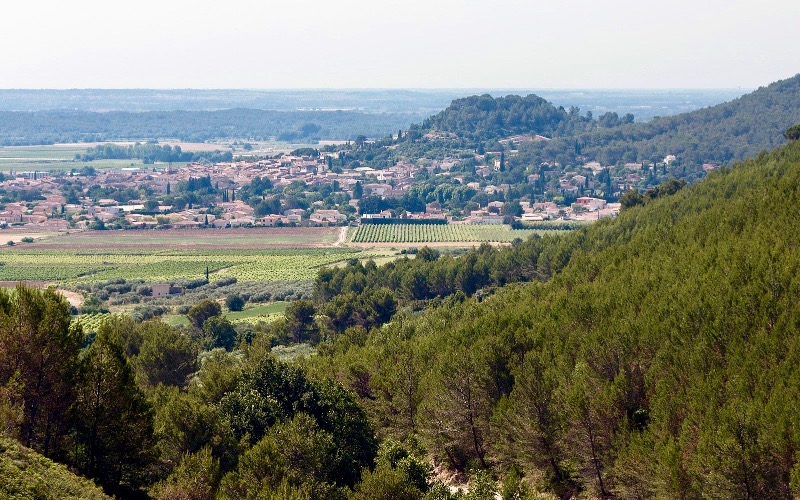
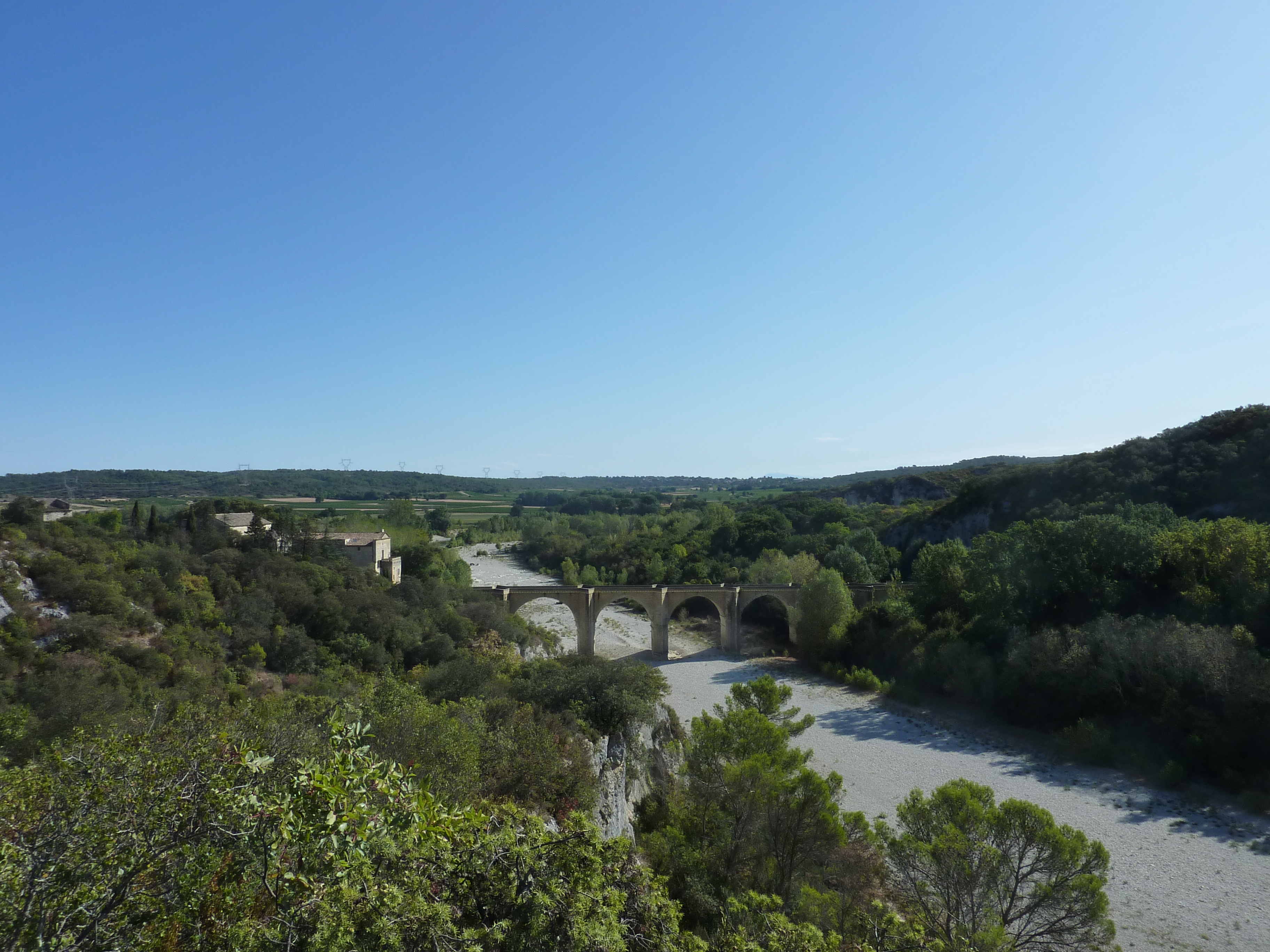
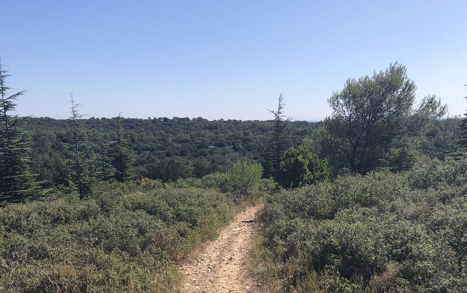
This is a nice family-friendly walk. The path begins by following the Rianse stream then continues in the forest before reaching the starting point by a well-marked track. A calming walk.

Already more than 200,000 users!
Uphill
142m
Highest point
172m
Downhill
142m
Lowest point
114m
Route type
Loop
Download the map on your smartphone to save battery and rest assured to always keep access to the route, even without signal.
Includes IGN France and Swisstopo.
I indicate whether dogs are allowed or prohibited on this trail
All year
1 rating
Also enjoy:

Already more than 200,000 users!