Uphill
88m
Length
5km
Duration
1h30min
Elev gain
88m
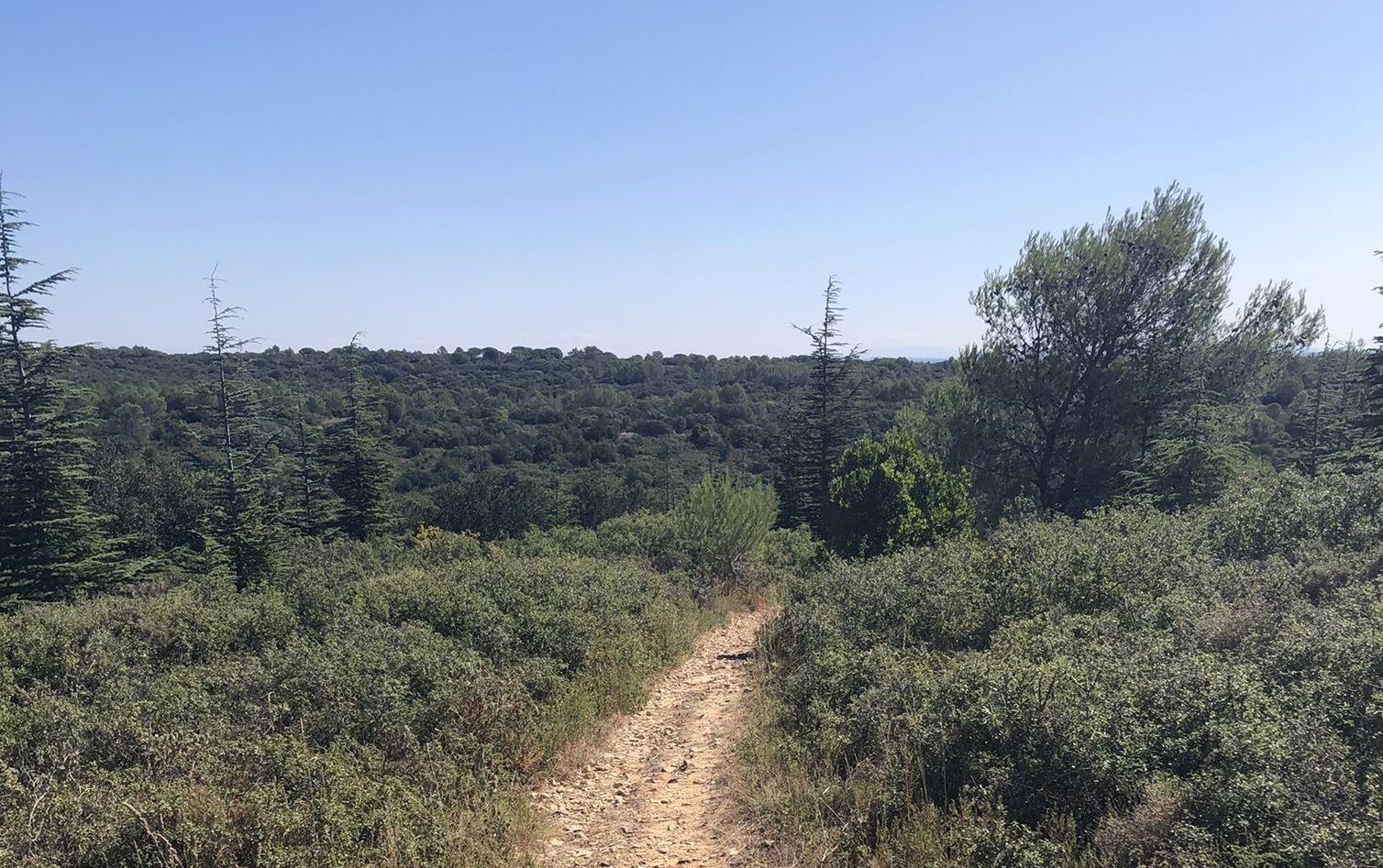
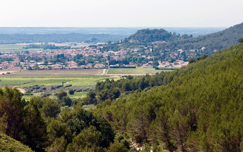
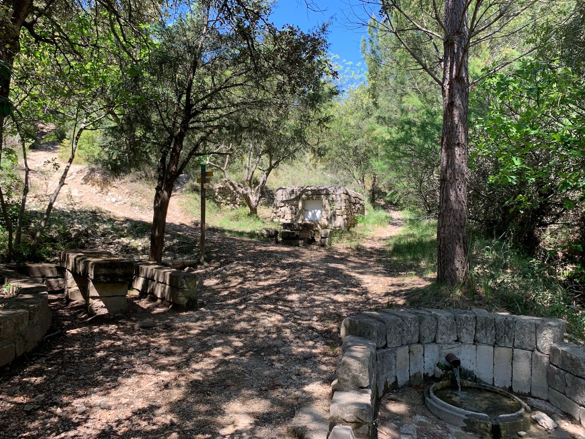
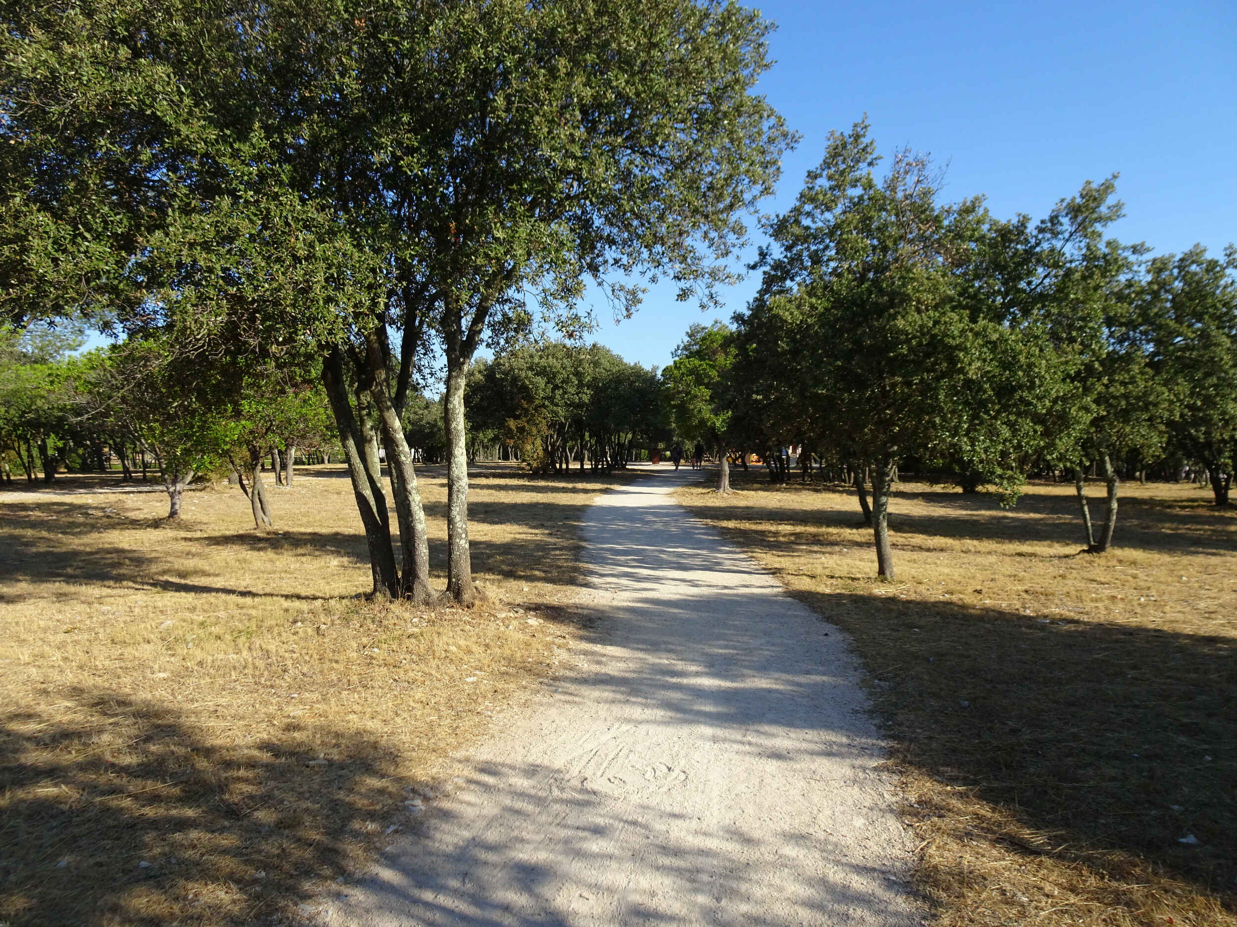
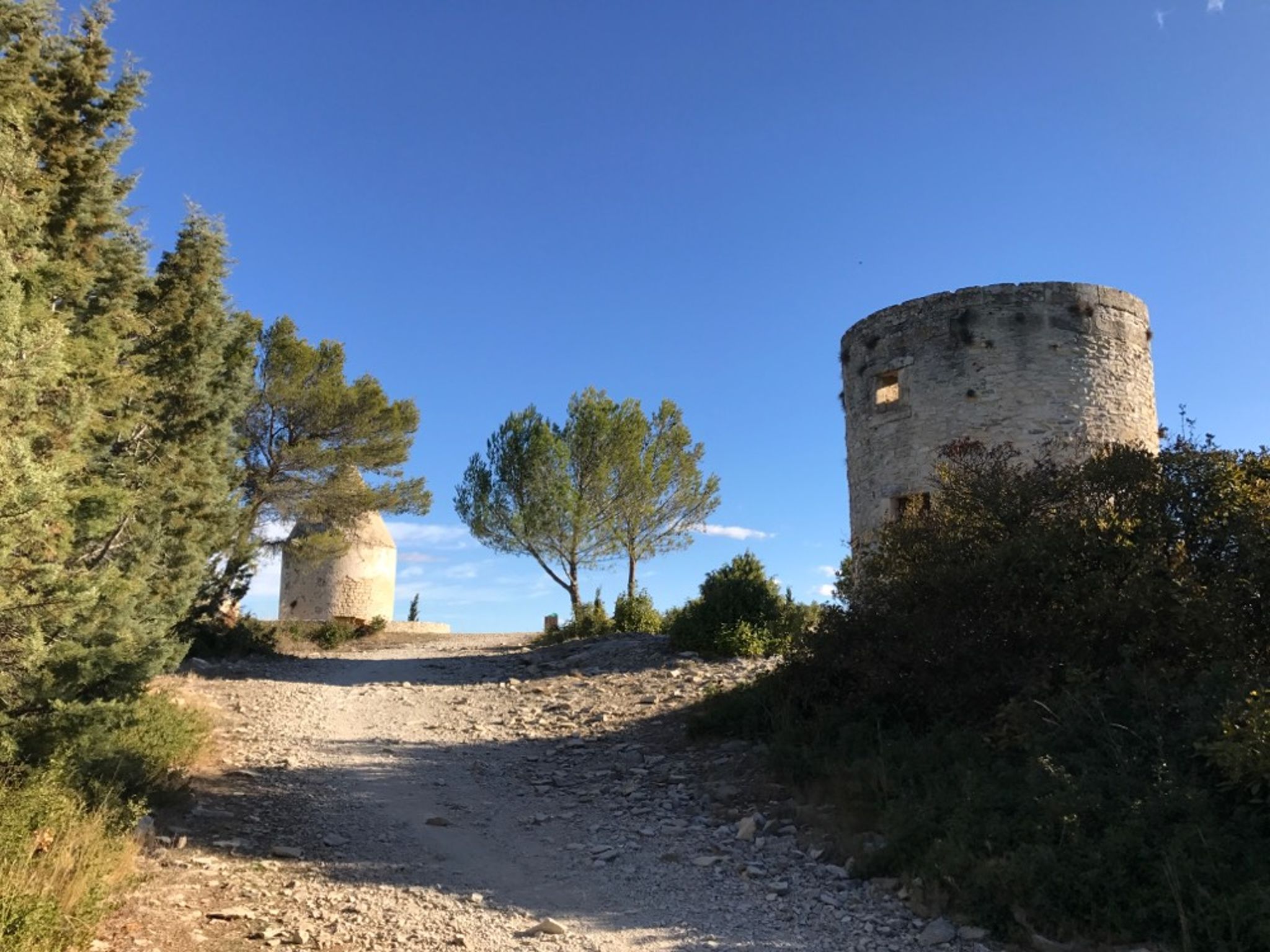
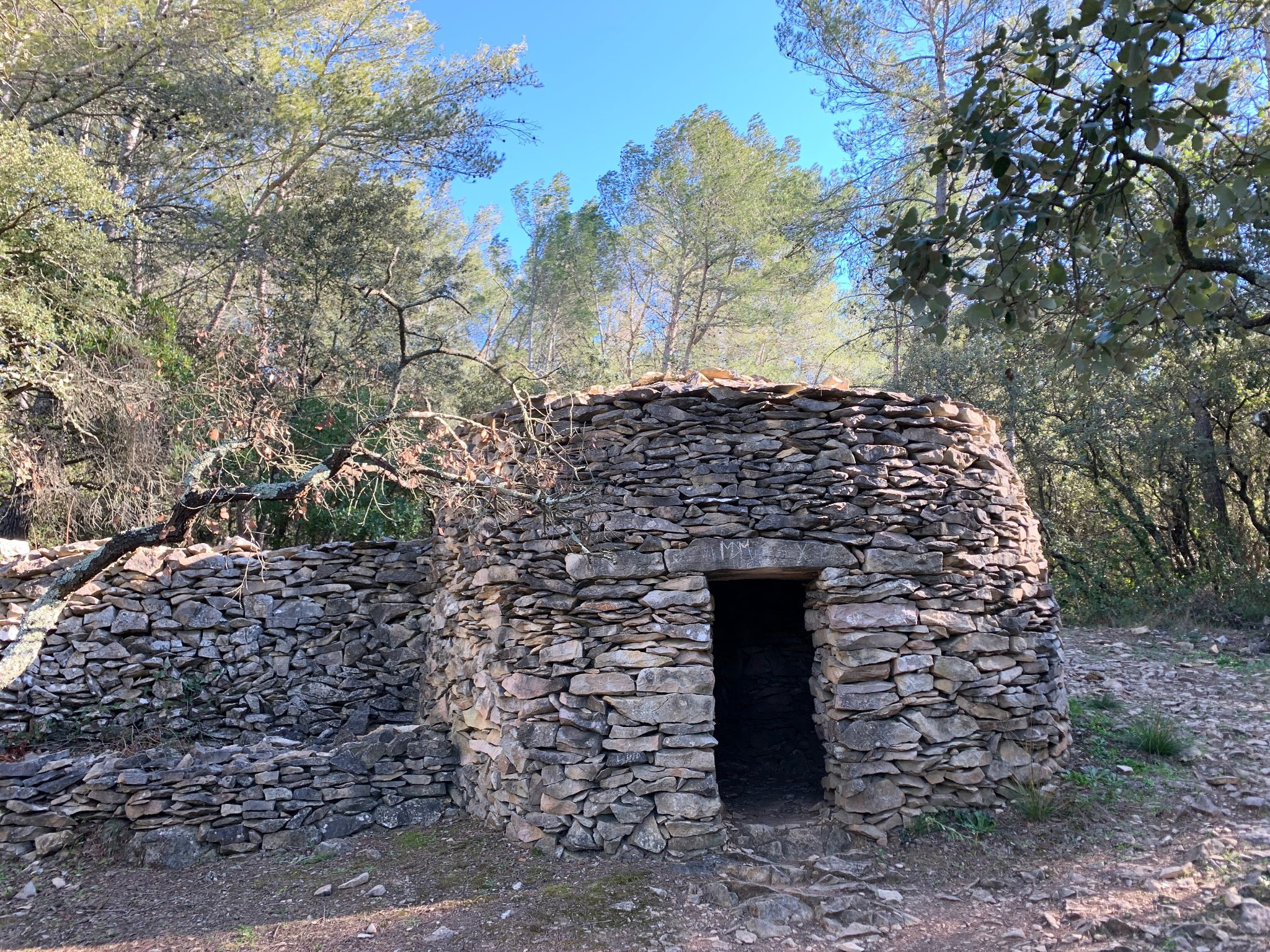
Nice walk to discover the capitelles, which are dry stone huts, all accompanied by the song of the cicadas. The trail is marked and accompanied by explanatory panels.

Already more than 200,000 users!
Uphill
88m
Highest point
92m
Downhill
88m
Lowest point
25m
Route type
Loop
Download the map on your smartphone to save battery and rest assured to always keep access to the route, even without signal.
Includes IGN France and Swisstopo.
I indicate whether dogs are allowed or prohibited on this trail
All year
0 ratings
Also enjoy:

Already more than 200,000 users!