Uphill
152m
Length
10km
Duration
3h
Elev gain
152m
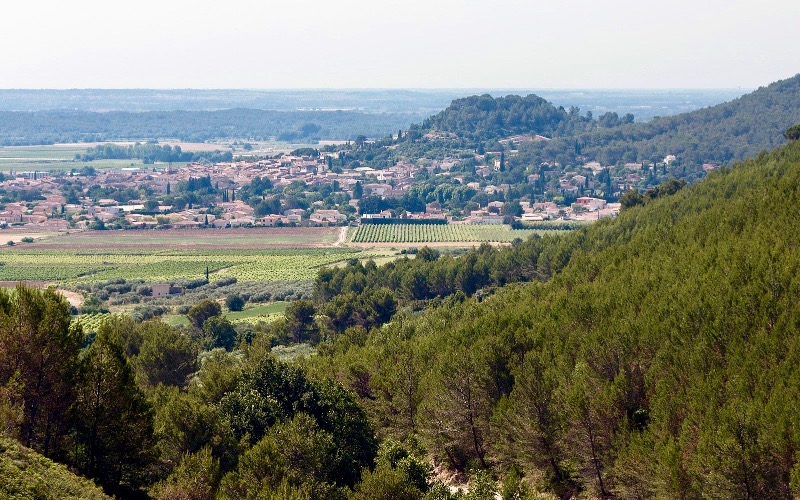
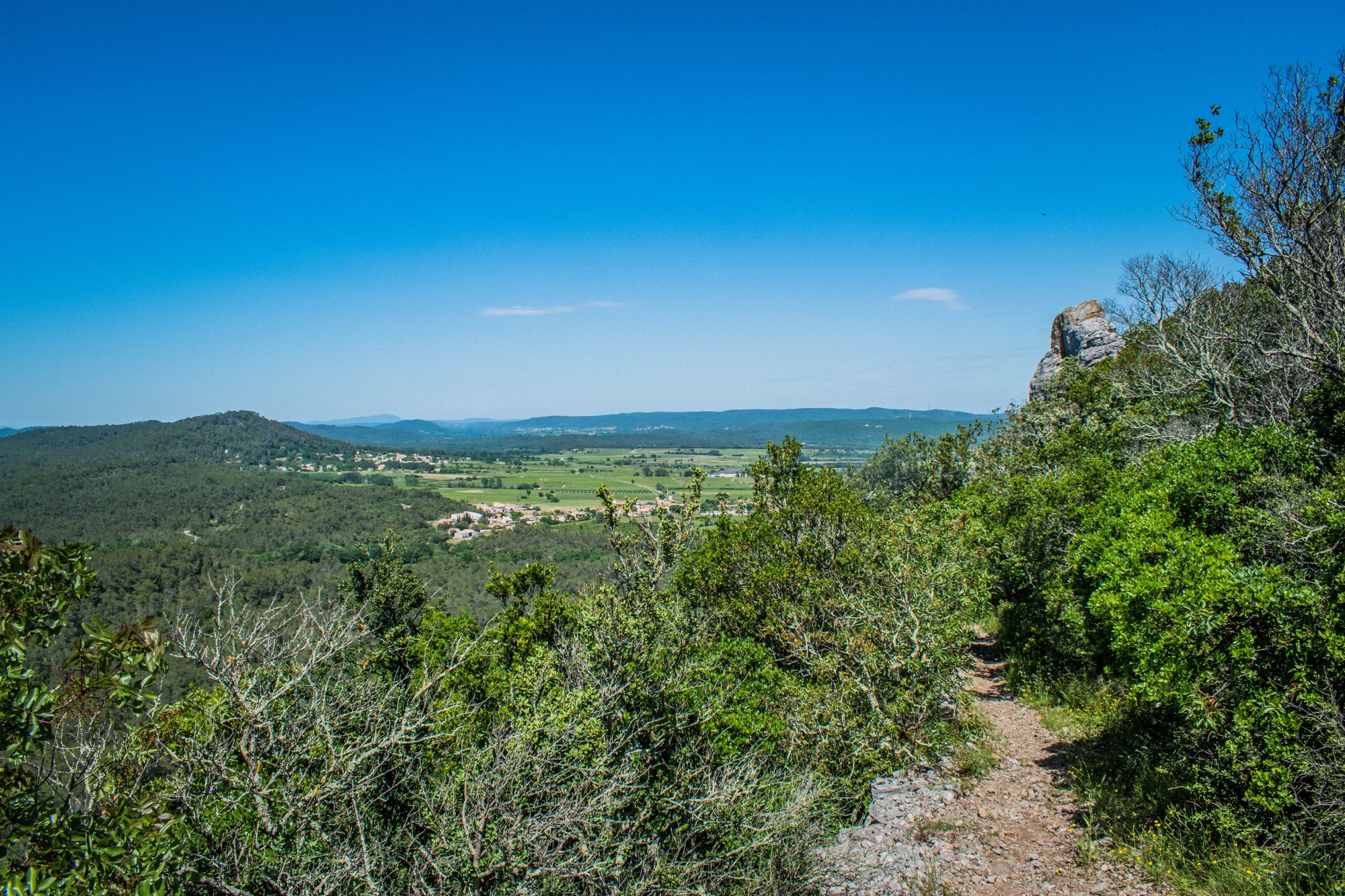
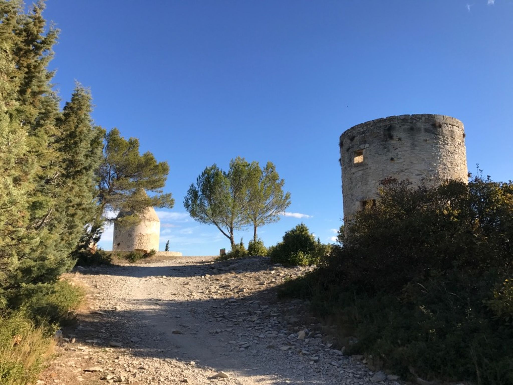
Starting from Congénies, this hike goes around the four mills of Calvisson. The trail is wild and offers beautiful views of the surroundings.
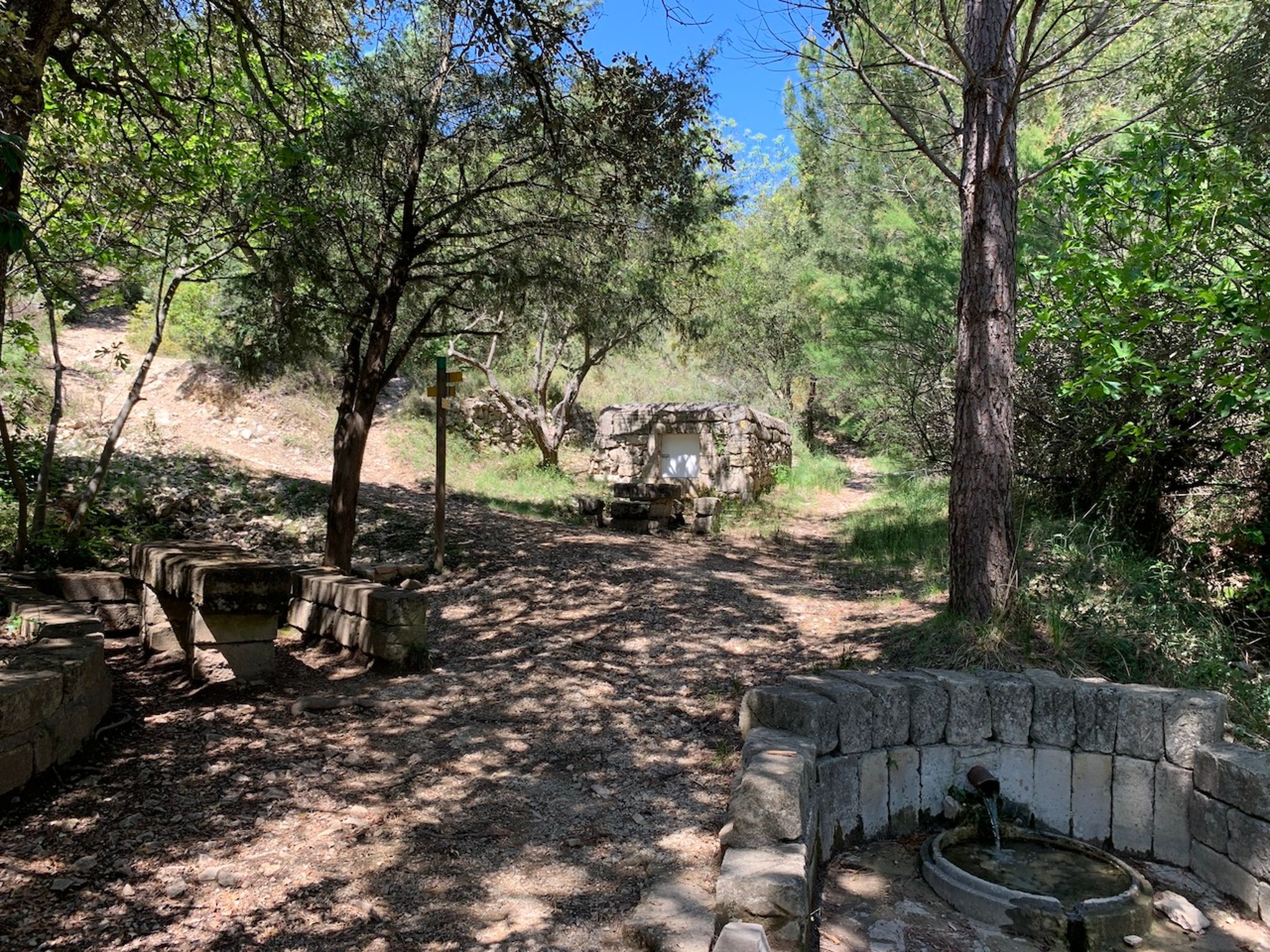
Note, however, that crossing the river is sometimes difficult, when the flow is high or when the vegetation takes over. It is then preferable to make a slight detour.

Already more than 200,000 users!
Uphill
152m
Highest point
164m
Downhill
152m
Lowest point
68m
Route type
Loop
Download the map on your smartphone to save battery and rest assured to always keep access to the route, even without signal.
Includes IGN France and Swisstopo.
I indicate whether dogs are allowed or prohibited on this trail
All year
5 ratings
Also enjoy:

Already more than 200,000 users!