Uphill
198m
Length
11km
Duration
3h30min
Elev gain
198m
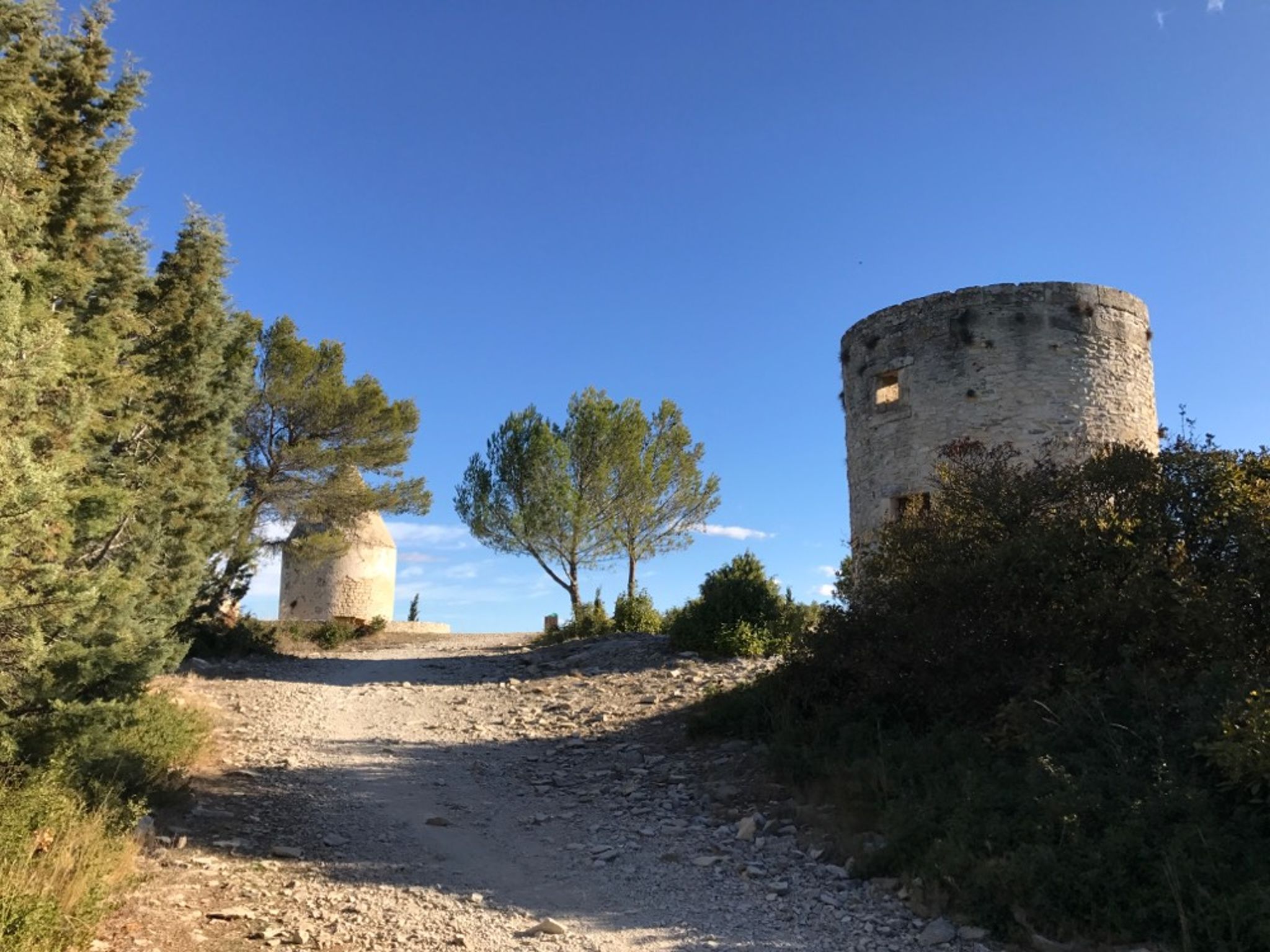
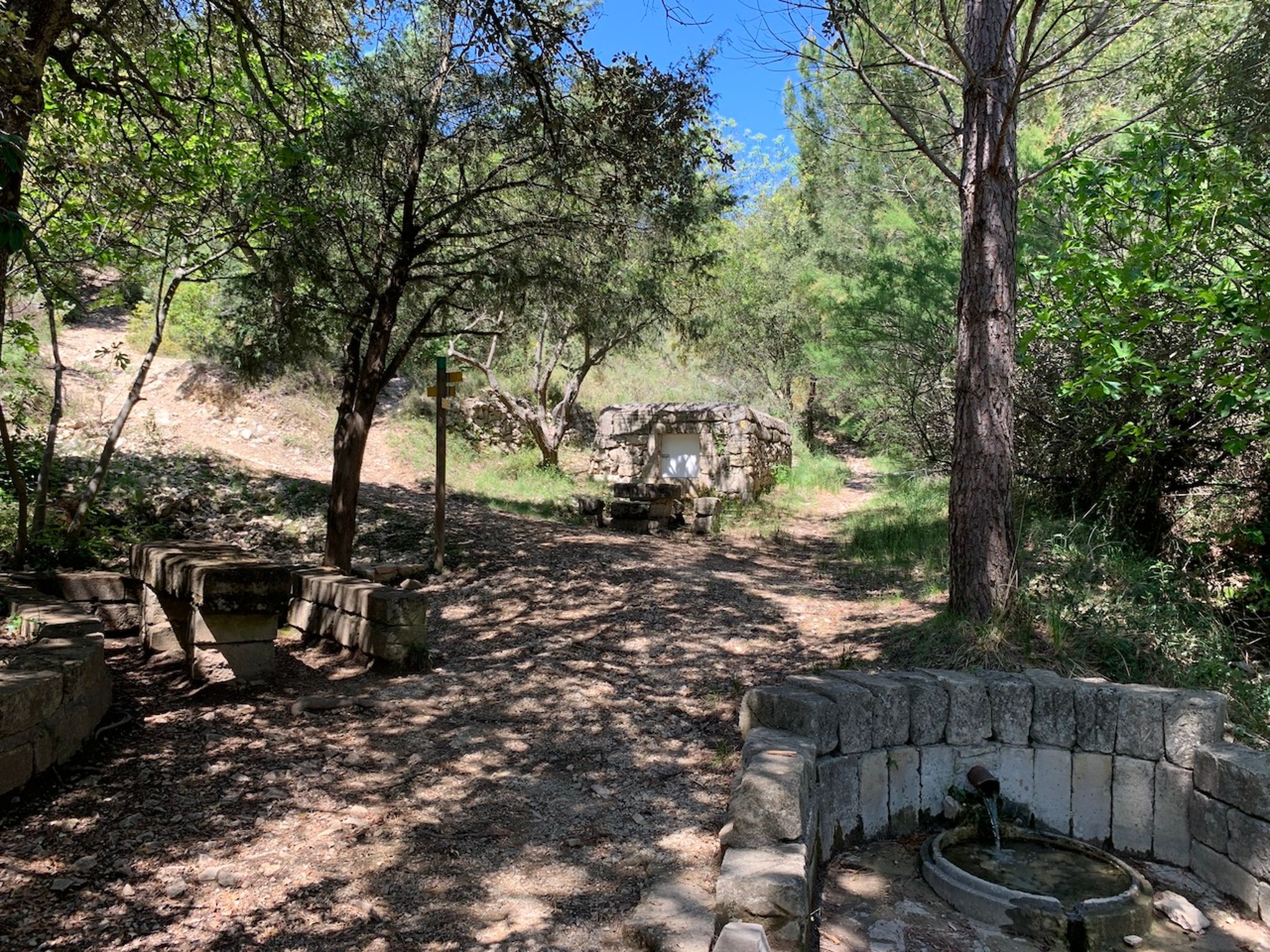
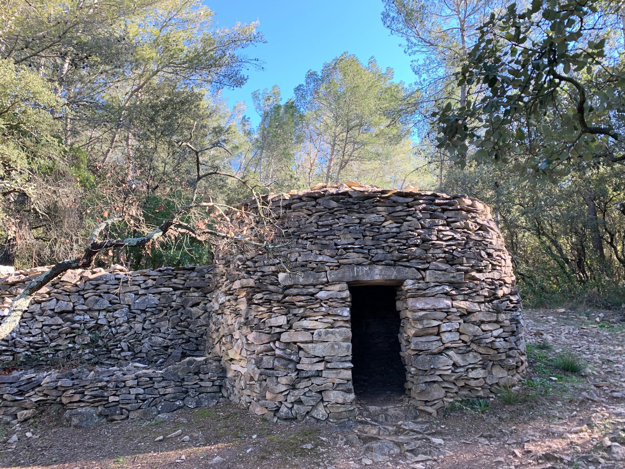
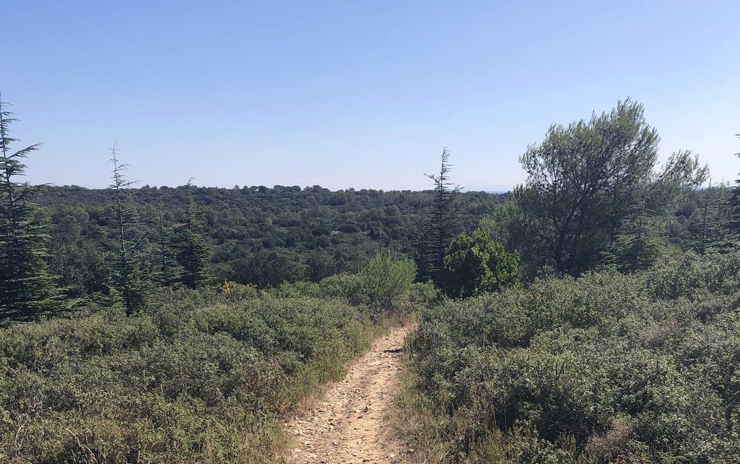
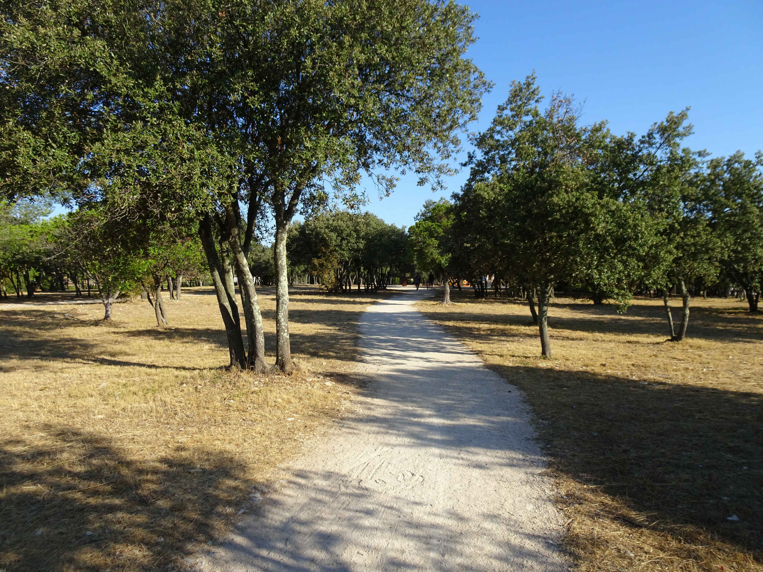
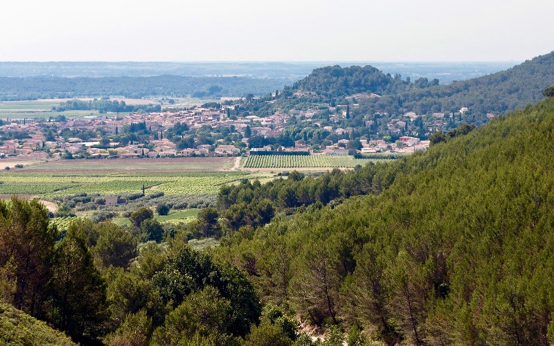
Departing from Calvisson, this hike takes place on the pretty Liquière hill. The trails are numerous and it is easily possible to adjust the length of the hike according to your desires.

Already more than 200,000 users!
Uphill
198m
Highest point
214m
Downhill
198m
Lowest point
54m
Route type
Loop
Download the map on your smartphone to save battery and rest assured to always keep access to the route, even without signal.
Includes IGN France and Swisstopo.
I indicate whether dogs are allowed or prohibited on this trail
All year
0 ratings
Also enjoy:

Already more than 200,000 users!