Uphill
123m
Length
4km
Duration
1h30min
Elev gain
123m
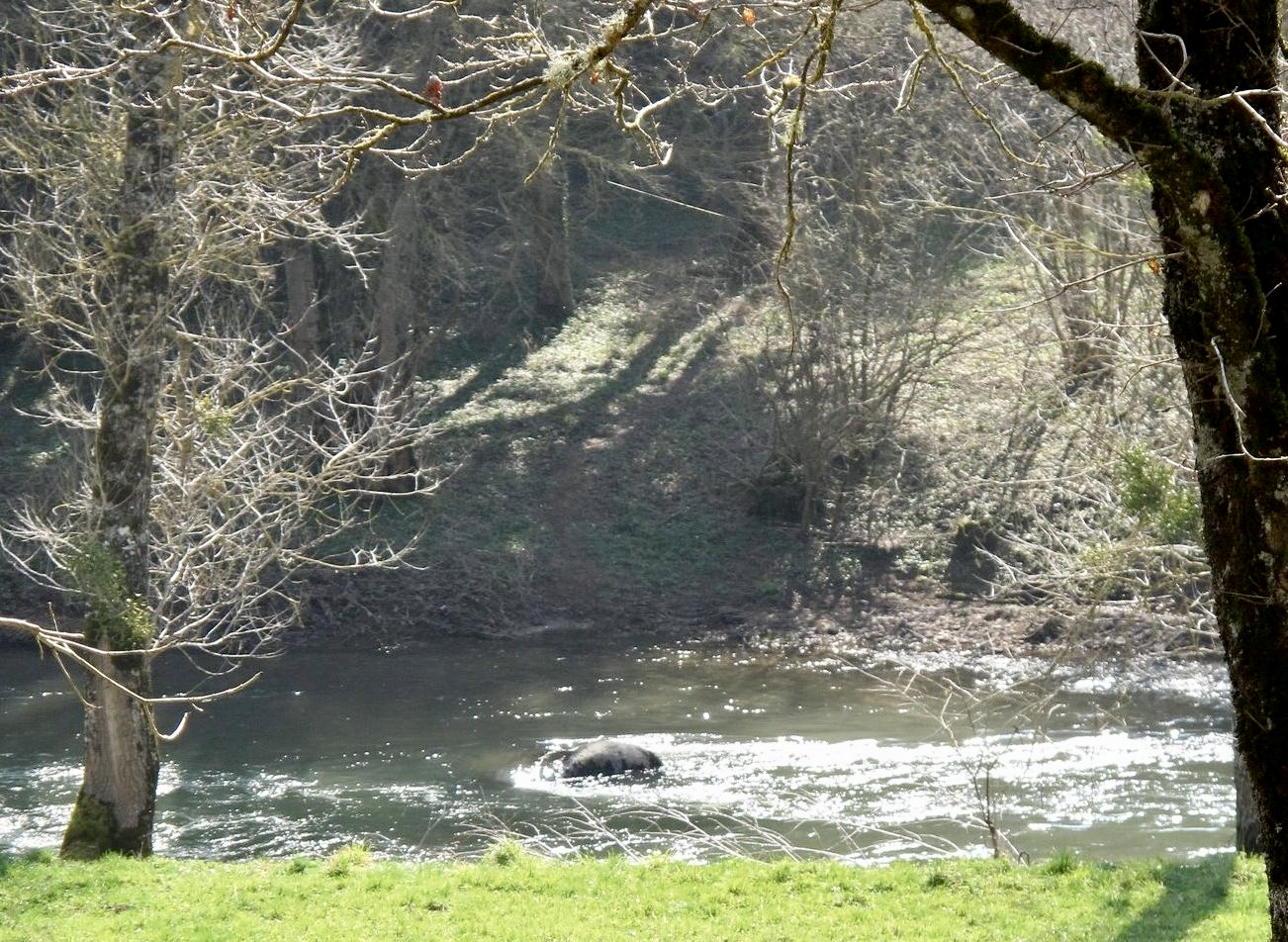
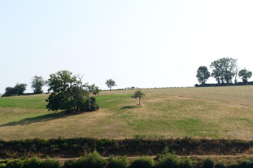
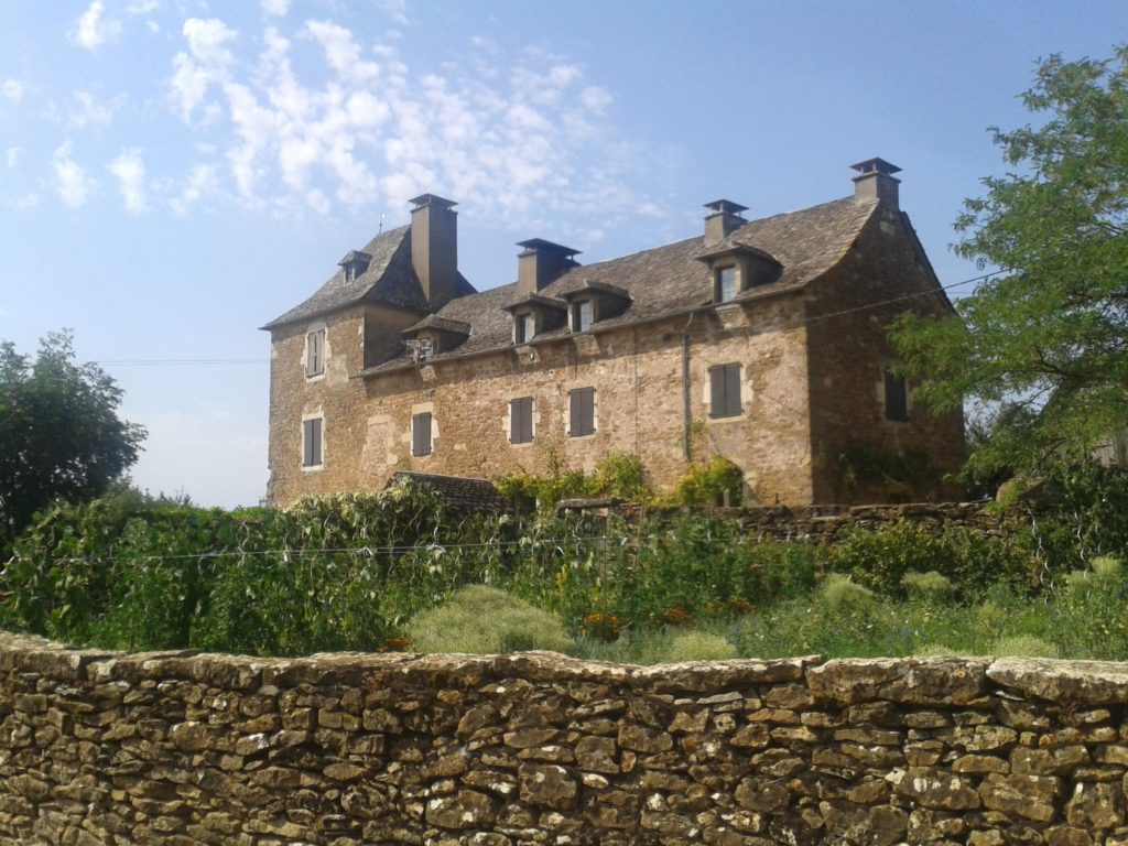
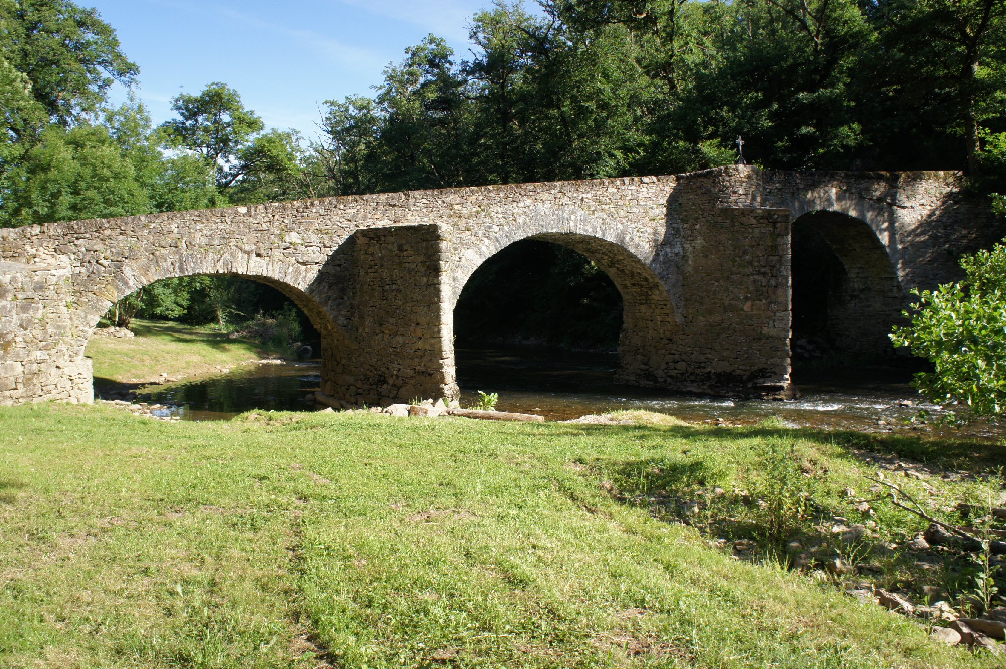
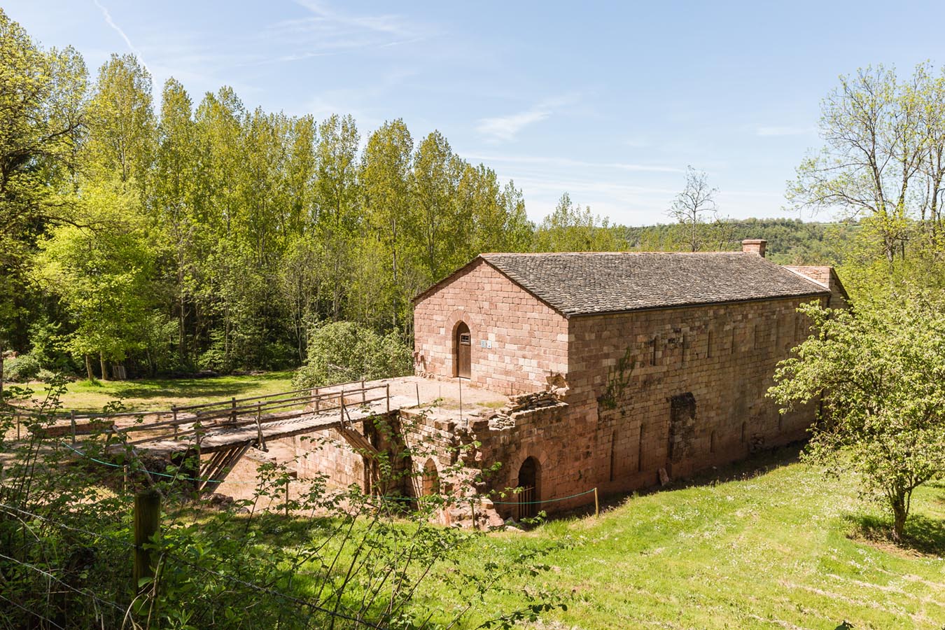
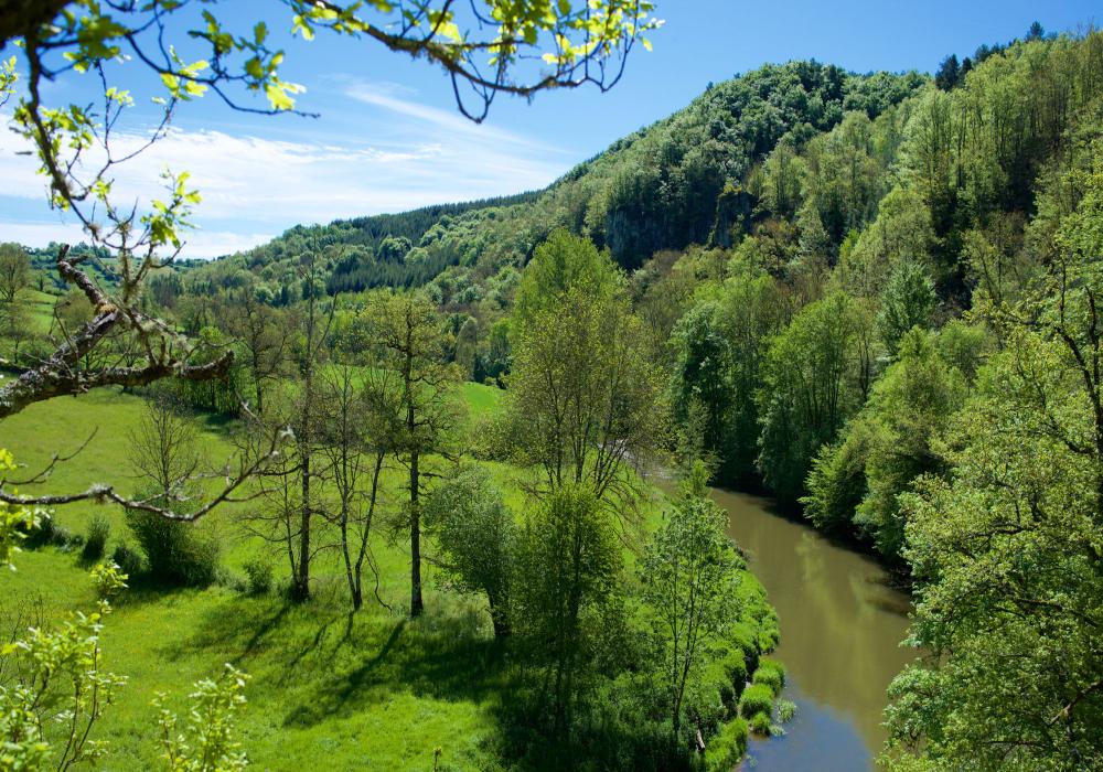
Nice walk in the heart of the Linars forest. The route begins in Olemps then quickly rushes into the woods, before skirting the Aveyron to return to the starting point.

Already more than 200,000 users!
Uphill
123m
Highest point
616m
Downhill
123m
Lowest point
495m
Route type
Loop
Download the map on your smartphone to save battery and rest assured to always keep access to the route, even without signal.
Includes IGN France and Swisstopo.
I indicate whether dogs are allowed or prohibited on this trail
All year
0 ratings
Also enjoy:

Already more than 200,000 users!