Uphill
204m
Length
6km
Duration
2h
Elev gain
204m
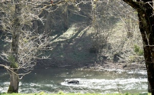
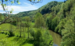
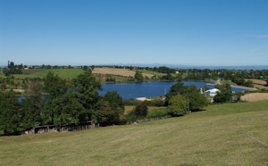
Departing from Calzins, this walk makes a loop in the woods of Rouillac. A pretty course in the undergrowth and often at the edge of the water, enough to satisfy our friends the dogs.

Already more than 200,000 users!
Uphill
204m
Highest point
649m
Downhill
204m
Lowest point
523m
Route type
Loop
Download the map on your smartphone to save battery and rest assured to always keep access to the route, even without signal.
Includes IGN France and Swisstopo.
I indicate whether dogs are allowed or prohibited on this trail
All year
0 ratings
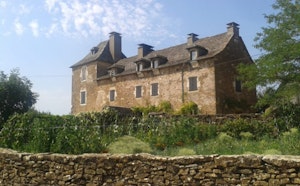
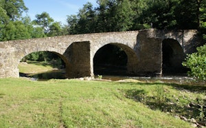
Also enjoy:

Already more than 200,000 users!