Uphill
7m
Length
2km
Duration
30min
Elev gain
7m
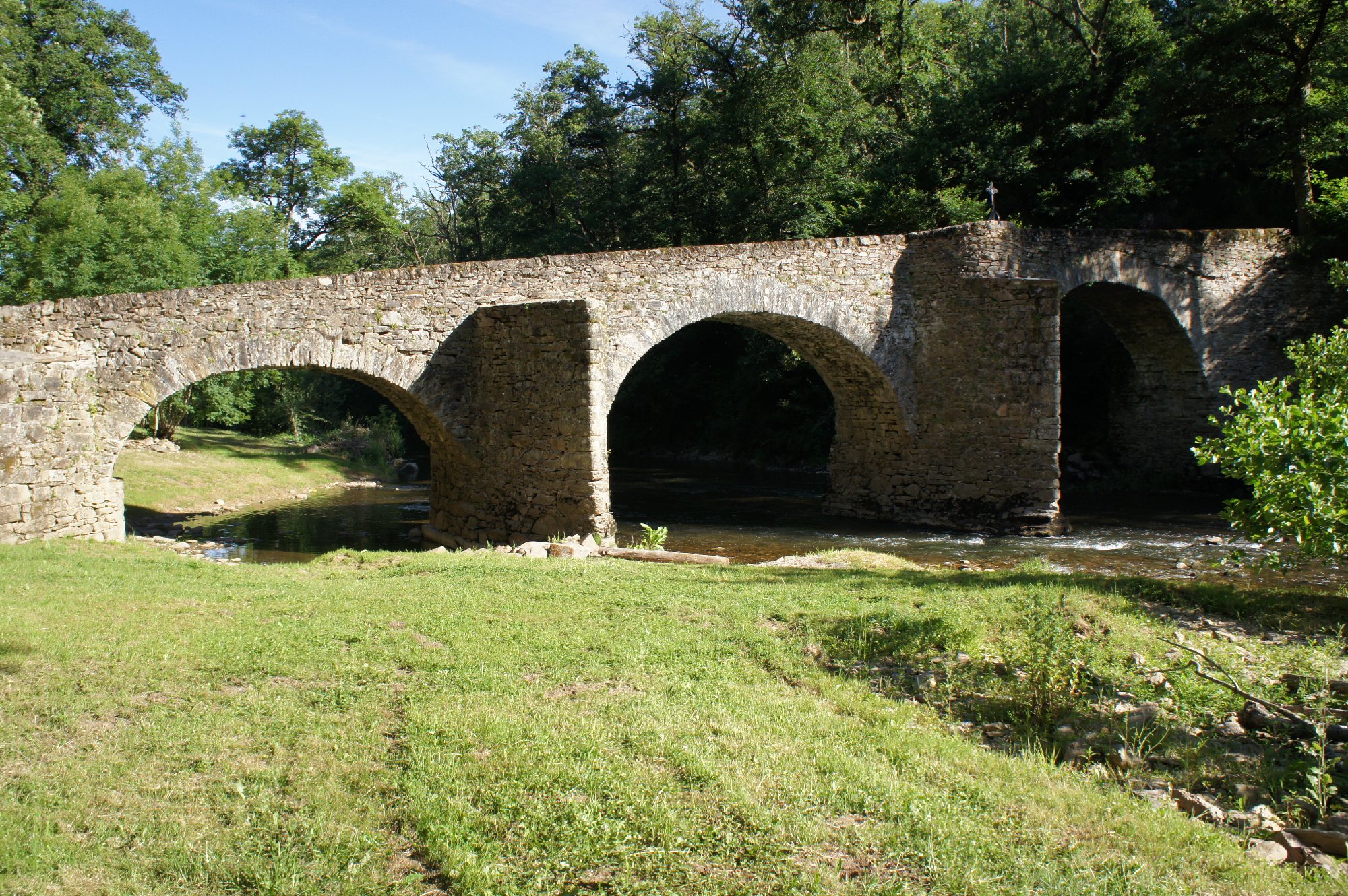
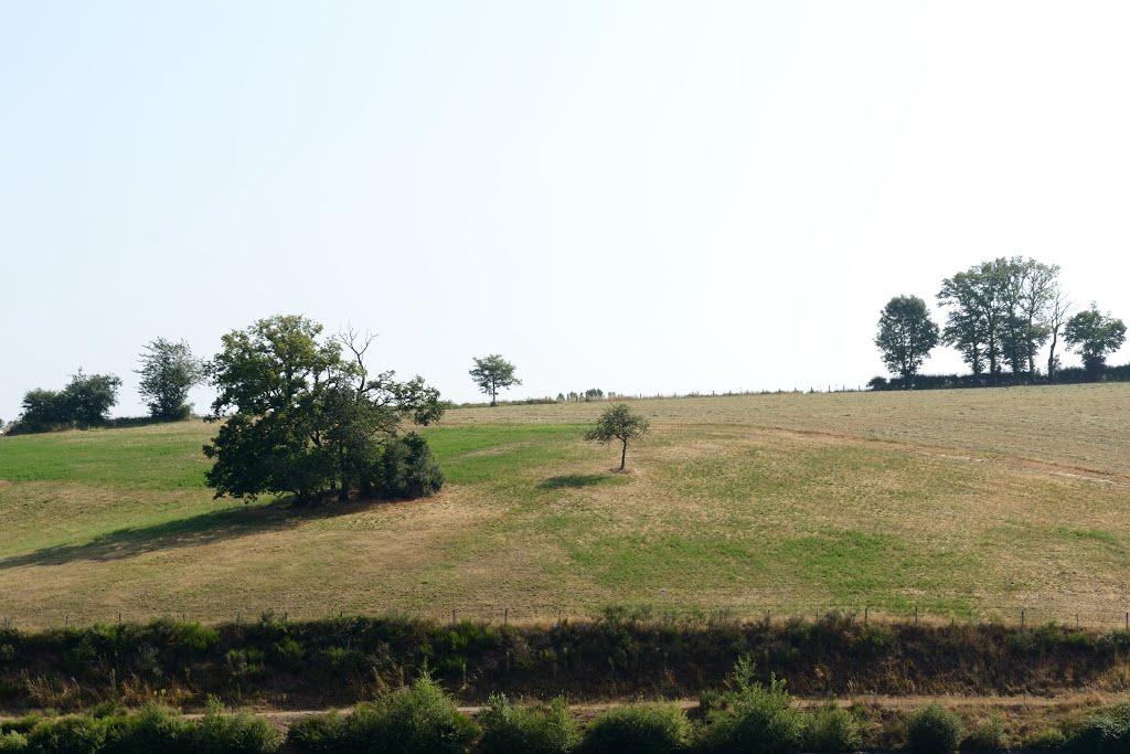
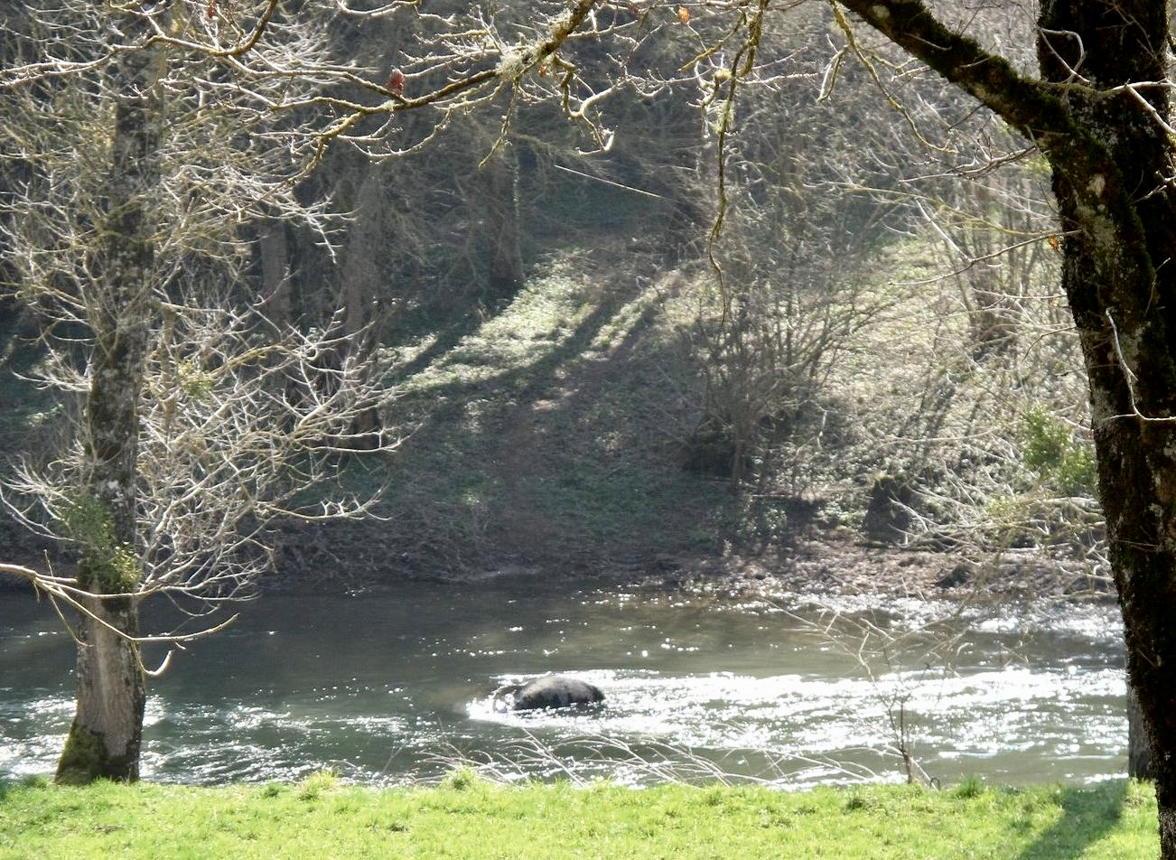
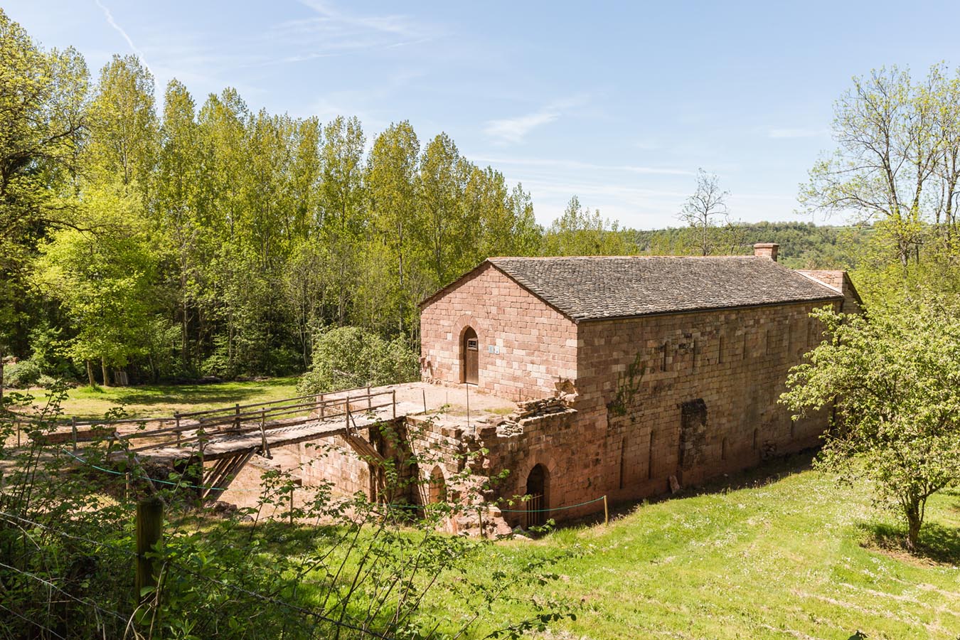
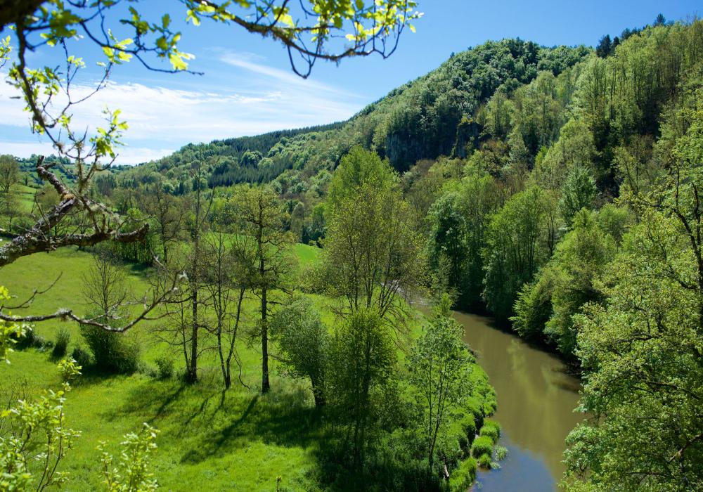
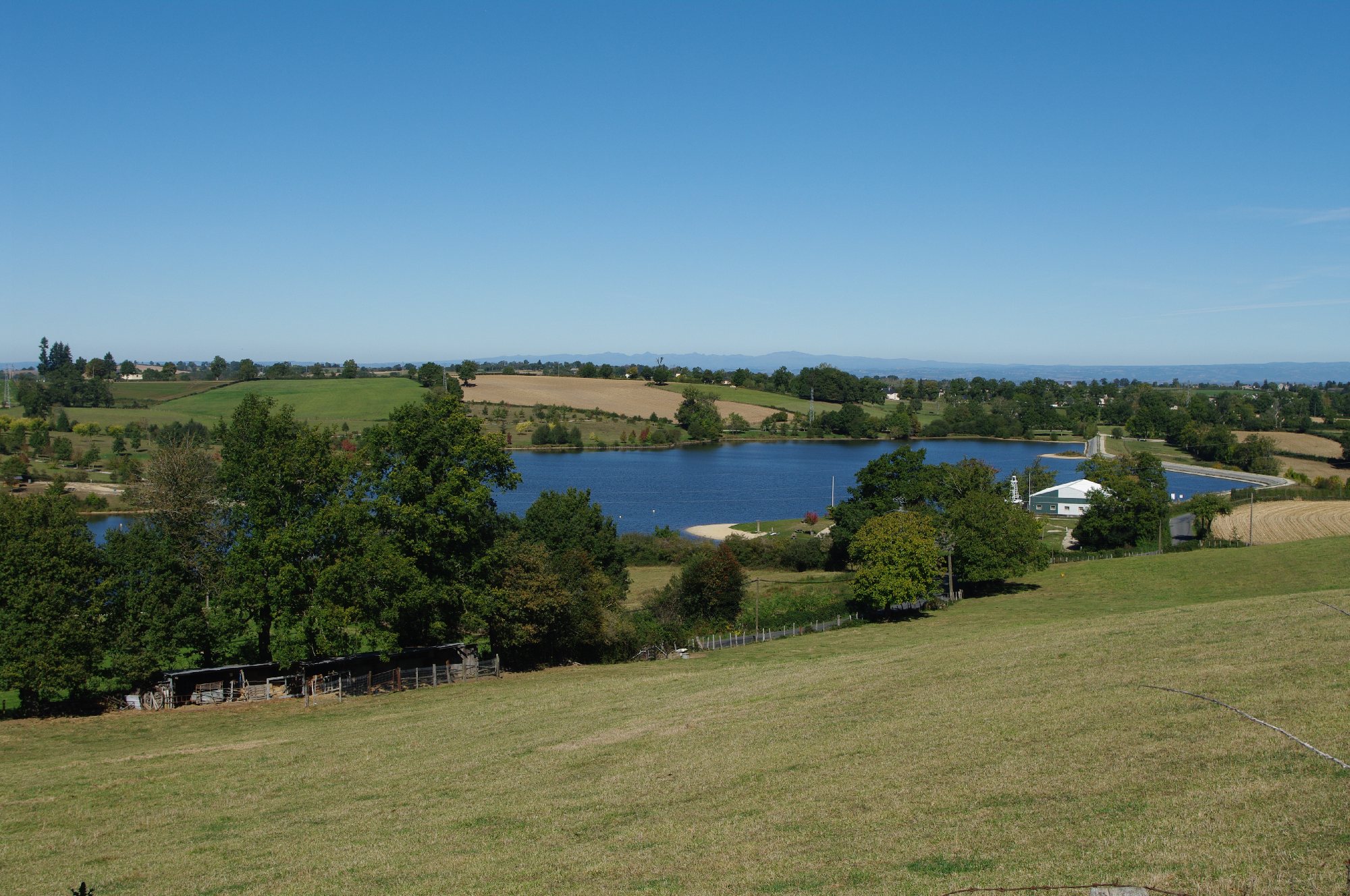
Family walk around the charming Val de Lenne lake, which is bordered mainly by meadows, fields and undergrowth.

Already more than 200,000 users!
Uphill
7m
Highest point
747m
Downhill
7m
Lowest point
731m
Route type
Loop
Download the map on your smartphone to save battery and rest assured to always keep access to the route, even without signal.
Includes IGN France and Swisstopo.
I indicate whether dogs are allowed or prohibited on this trail
All year
0 ratings
Also enjoy:

Already more than 200,000 users!