Uphill
513m
France > Occitanie > Ariège > Ariège Pyrenees Regional Natural Park
Length
7km
Duration
3h30min
Elev gain
513m
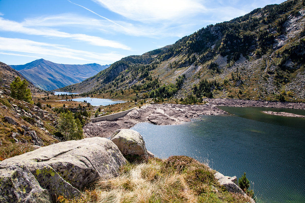
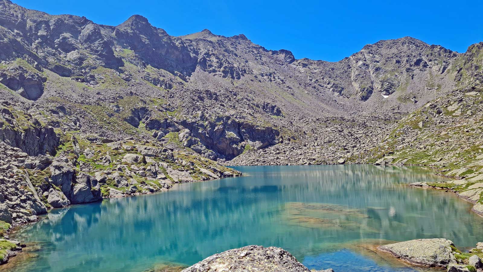
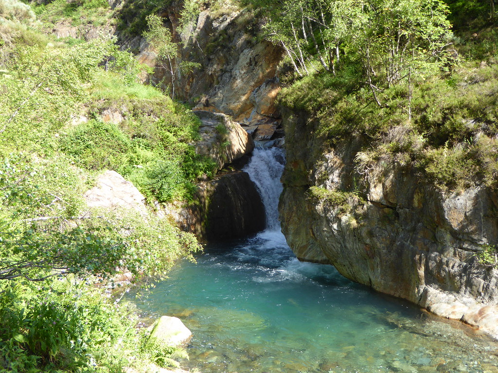
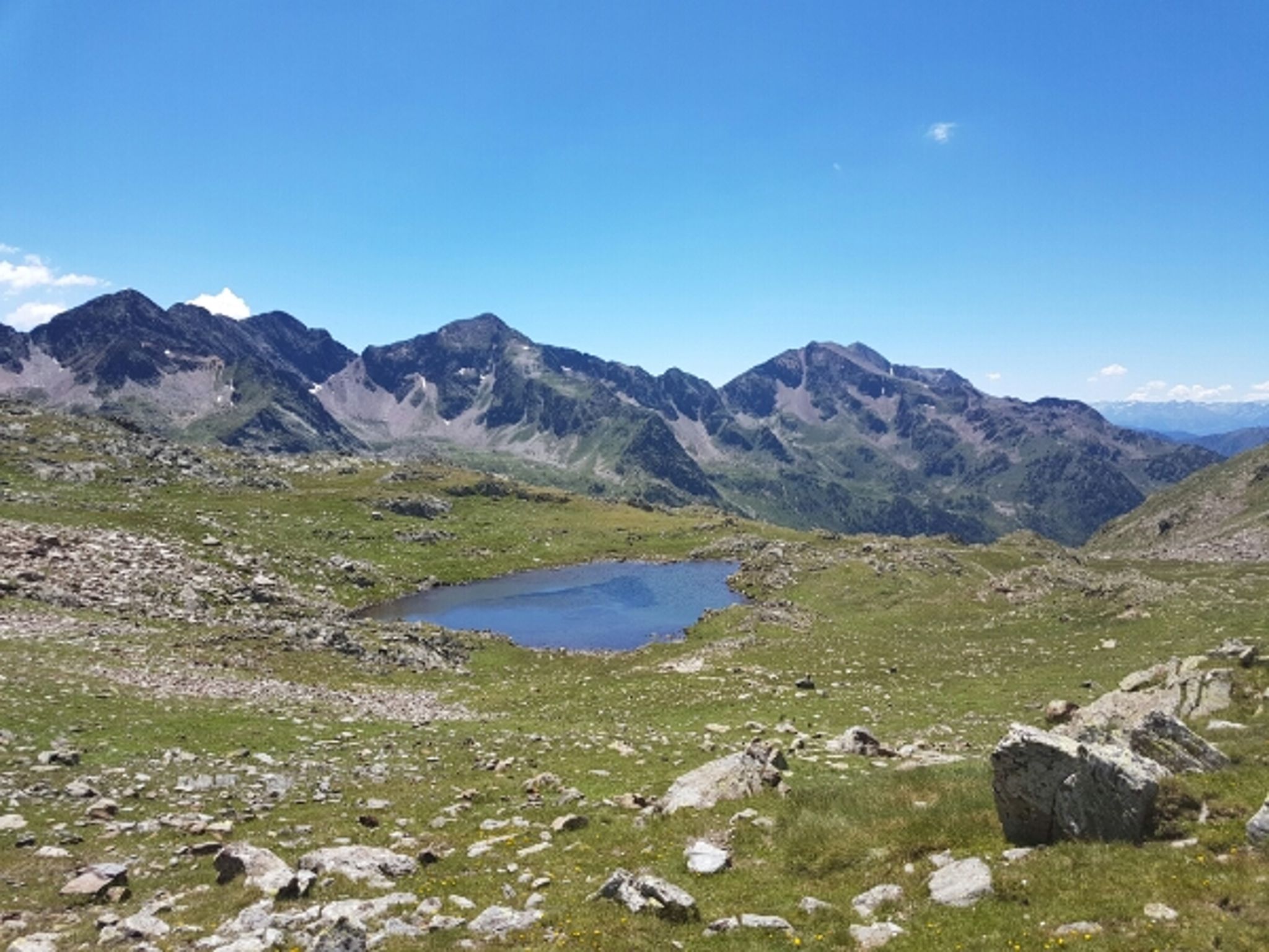
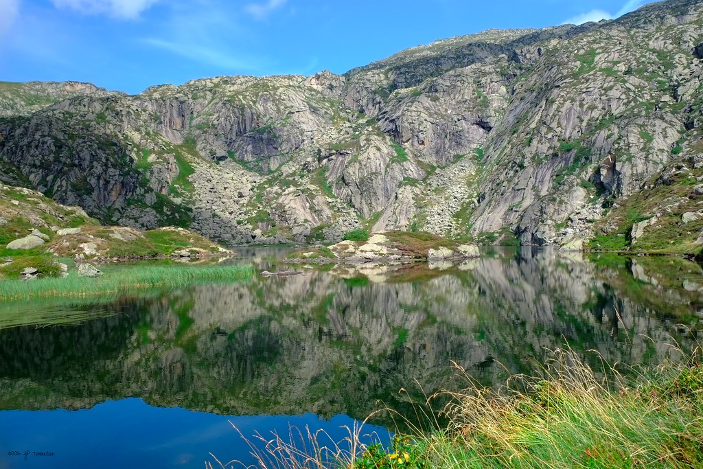
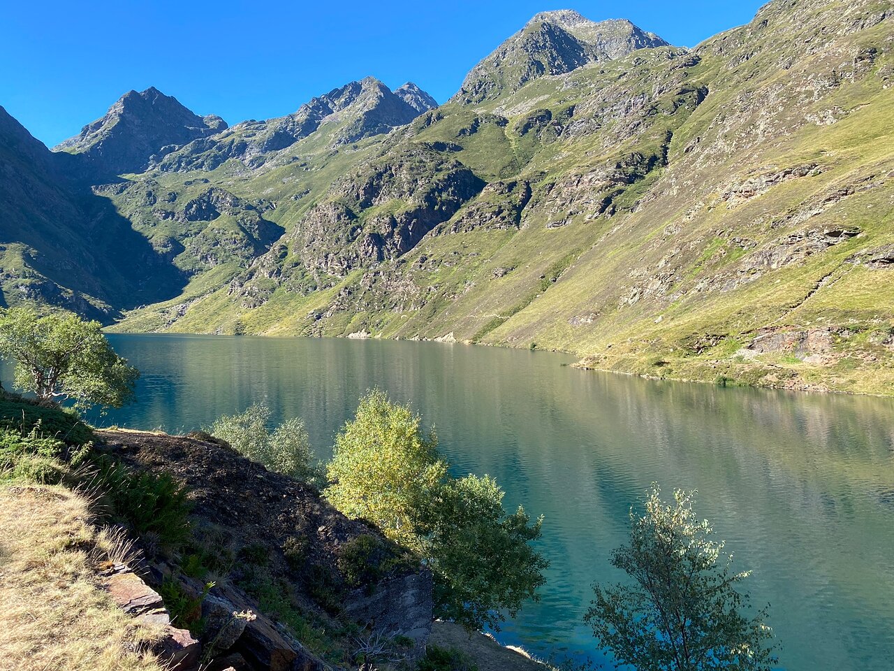
Walk to the Izourt pond, an artificial dam lake located in the upper valley of Vicdessos. Magnificent landscapes all along.

Already more than 200,000 users!
Uphill
513m
Highest point
1665m
Downhill
513m
Lowest point
1149m
Route type
Loop
Download the map on your smartphone to save battery and rest assured to always keep access to the route, even without signal.
Includes IGN France and Swisstopo.
I indicate whether dogs are allowed or prohibited on this trail
From May to October
2 ratings
Très très beau ! Par contre faire très attention car beaucoup de troupeaux de vaches sur le chemin. Faire attention avec vos chiens
Also enjoy:

Already more than 200,000 users!