Uphill
946m
France > Occitanie > Ariège > Ariège Pyrenees Regional Natural Park
Length
15km
Duration
7h
Elev gain
946m
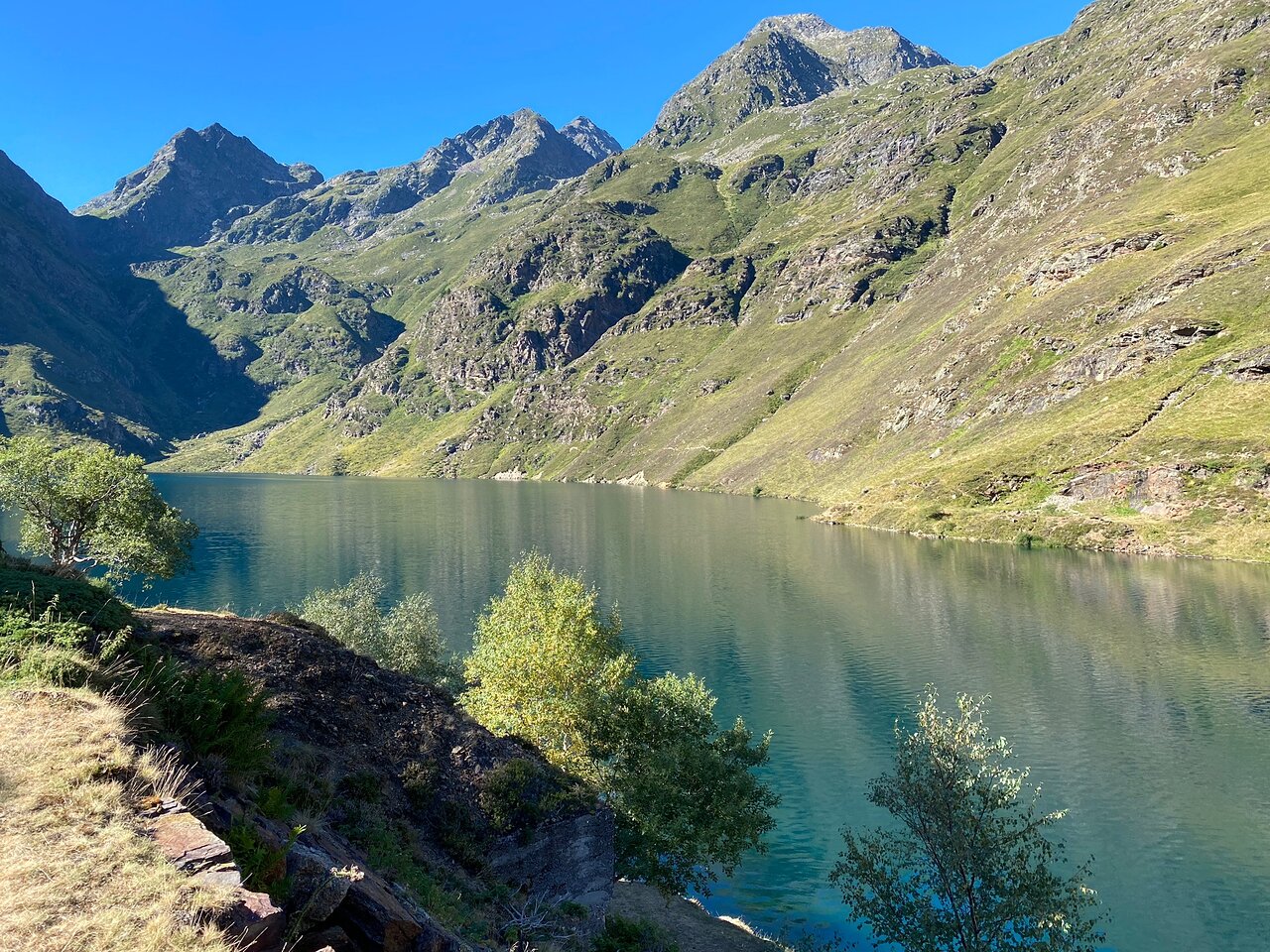
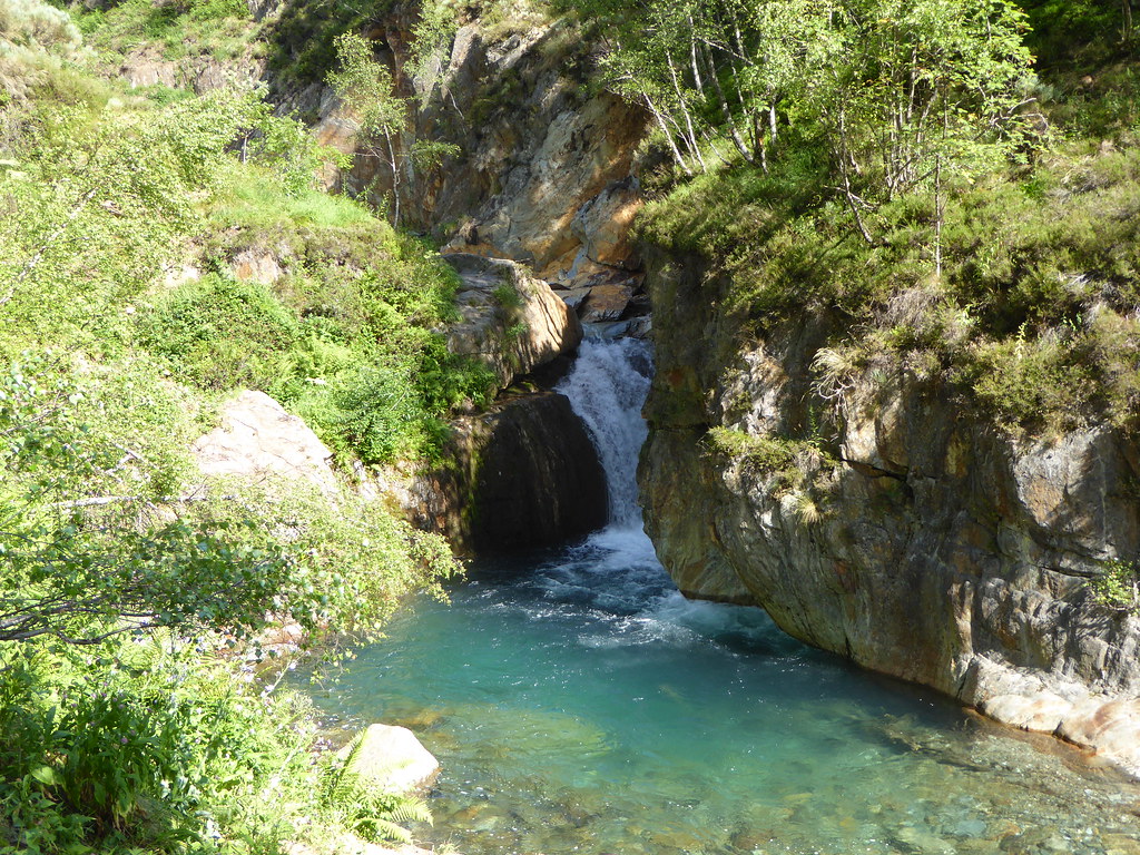
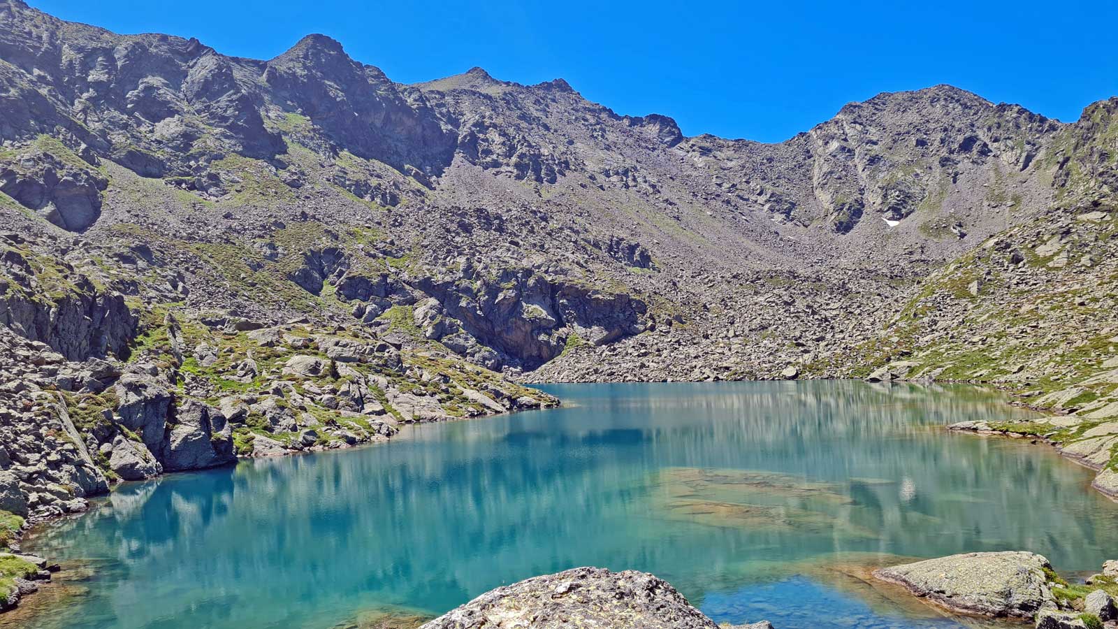
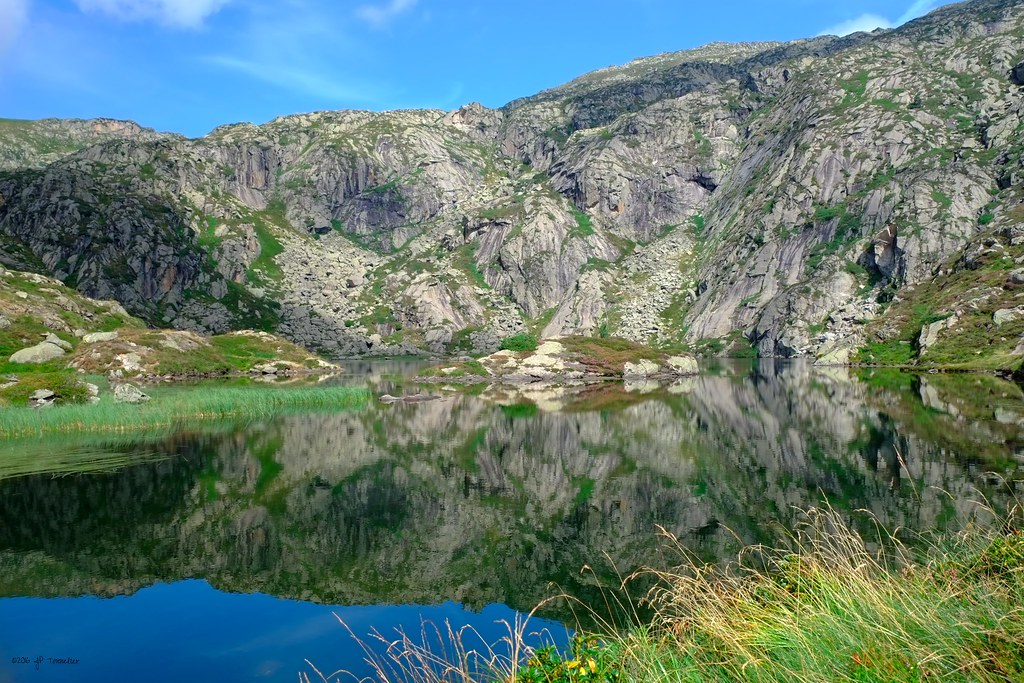
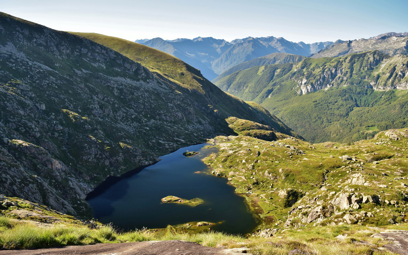
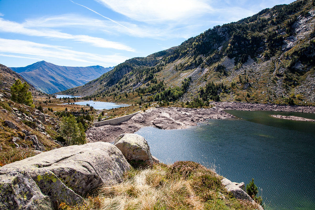
Leaving from Auzat, this hike leads to the Bassiès shelter while passing by several ponds: Escalès pond, Long pond, Major pond and Dead pond. The first part is rather steep and then flatter. At the top, the landscape is gorgeous.

Already more than 200,000 users!
Uphill
946m
Highest point
1672m
Downhill
946m
Lowest point
852m
Route type
There and back
Download the map on your smartphone to save battery and rest assured to always keep access to the route, even without signal.
Includes IGN France and Swisstopo.
I indicate whether dogs are allowed or prohibited on this trail
From May to October
2 ratings
Also enjoy:

Already more than 200,000 users!