Uphill
403m
Length
7km
Duration
3h
Elev gain
403m
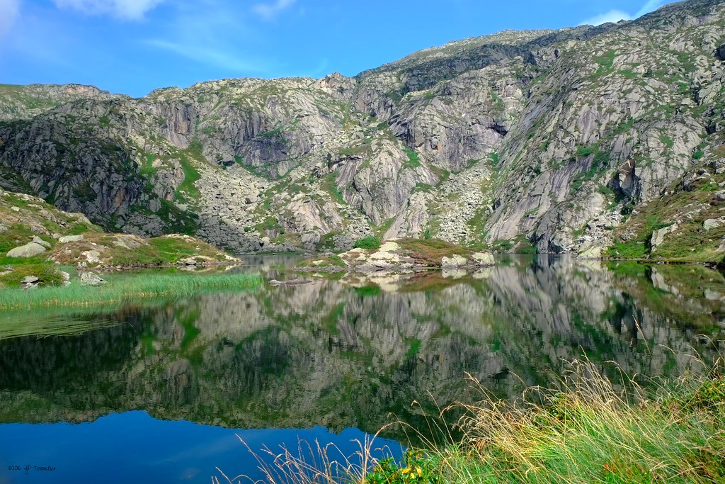
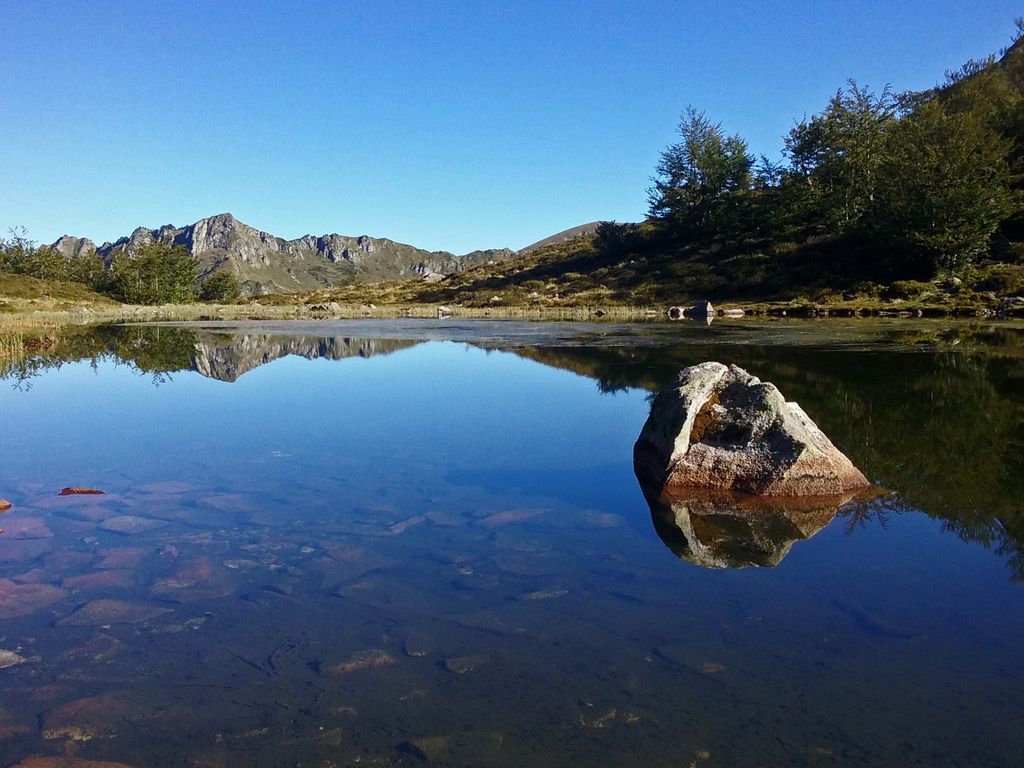
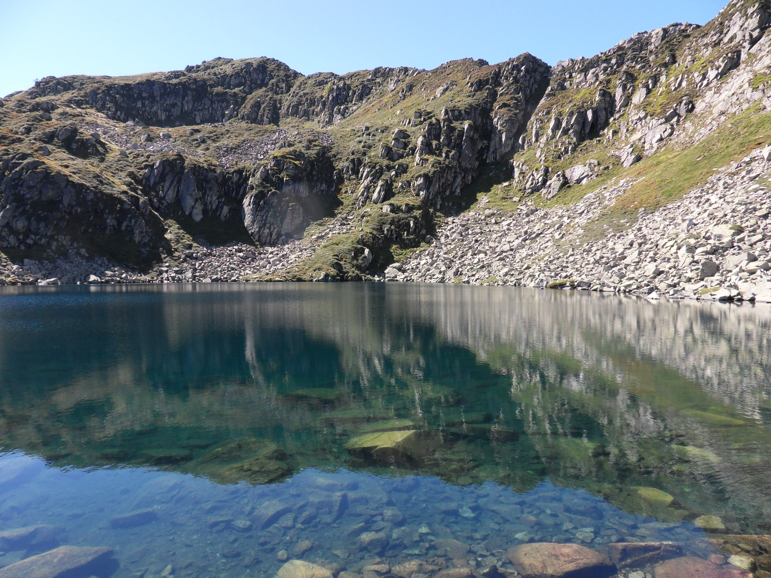
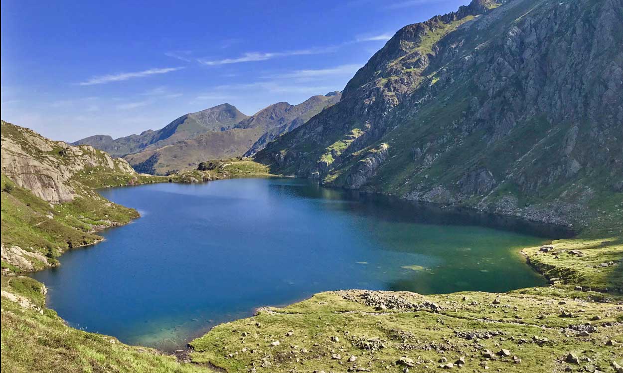
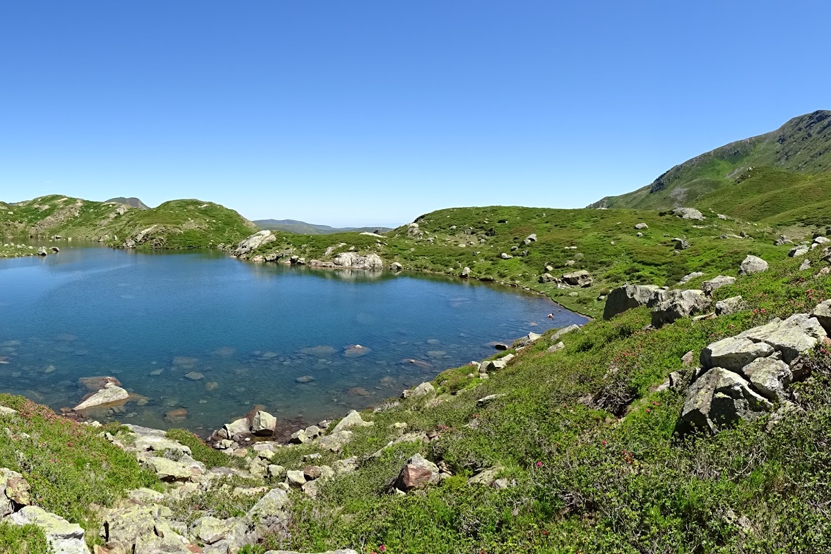
Here is a very pleasant hike. Right before reaching the Etang d'Arbu, the climb is a bit steep... but once at the pond, the view is worth the effort!

Already more than 200,000 users!
Uphill
403m
Highest point
1735m
Downhill
403m
Lowest point
1381m
Route type
There and back
Download the map on your smartphone to save battery and rest assured to always keep access to the route, even without signal.
Includes IGN France and Swisstopo.
Authorised on a leash
From May to October
2 ratings
Also enjoy:

Already more than 200,000 users!