Uphill
188m
France > Occitanie > Ariège > Ariège Pyrenees Regional Natural Park
Length
3km
Duration
1h30min
Elev gain
188m
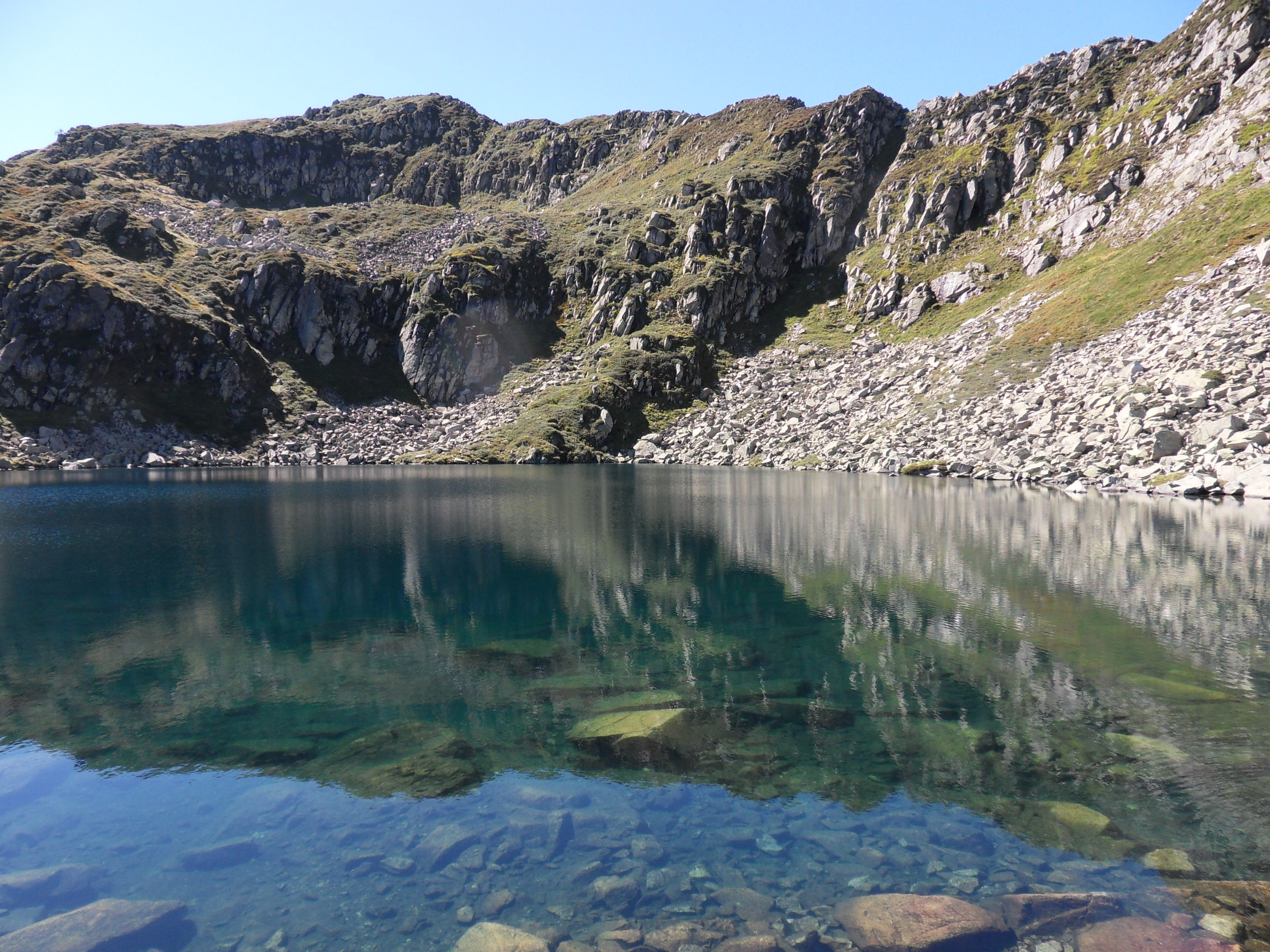
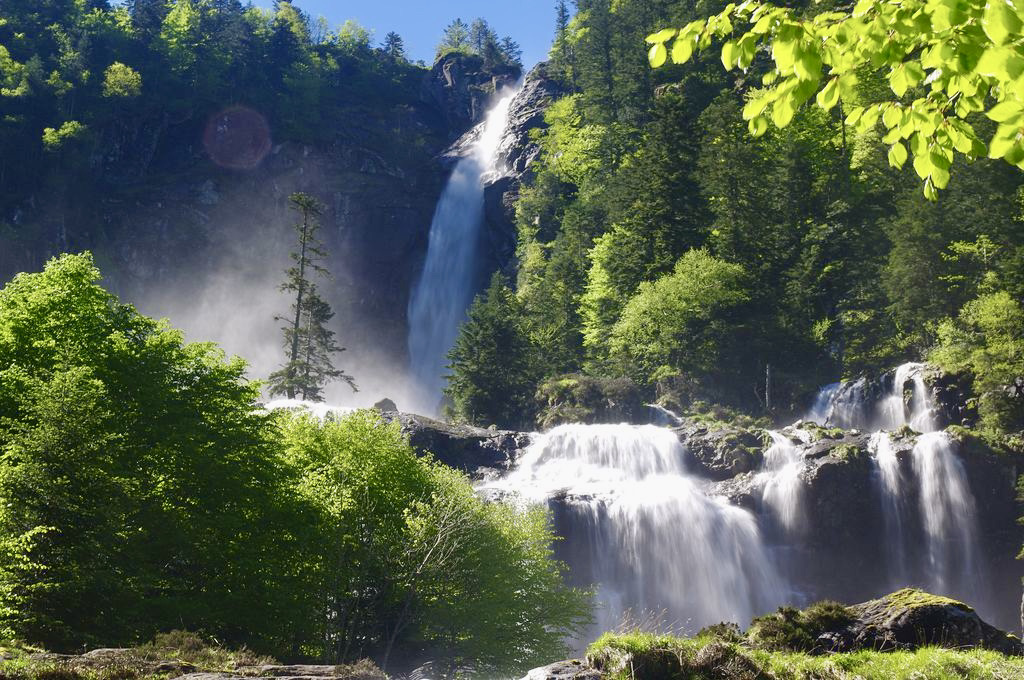
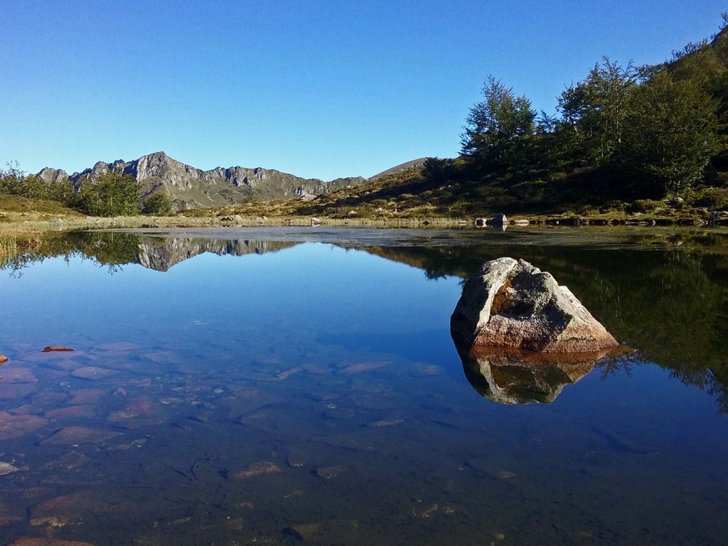
This is a short hike ideal for families. The path passes through small meadows and leads to the pond of Labant, in a wild environment.

Already more than 200,000 users!
Uphill
188m
Highest point
1592m
Downhill
188m
Lowest point
1400m
Route type
There and back
Download the map on your smartphone to save battery and rest assured to always keep access to the route, even without signal.
Includes IGN France and Swisstopo.
Authorised on a leash
Can be difficult in Winter
0 ratings
Also enjoy:

Already more than 200,000 users!