Uphill
587m
France > Occitanie > Ariège > Ariège Pyrenees Regional Natural Park
Length
8km
Duration
4h
Elev gain
587m
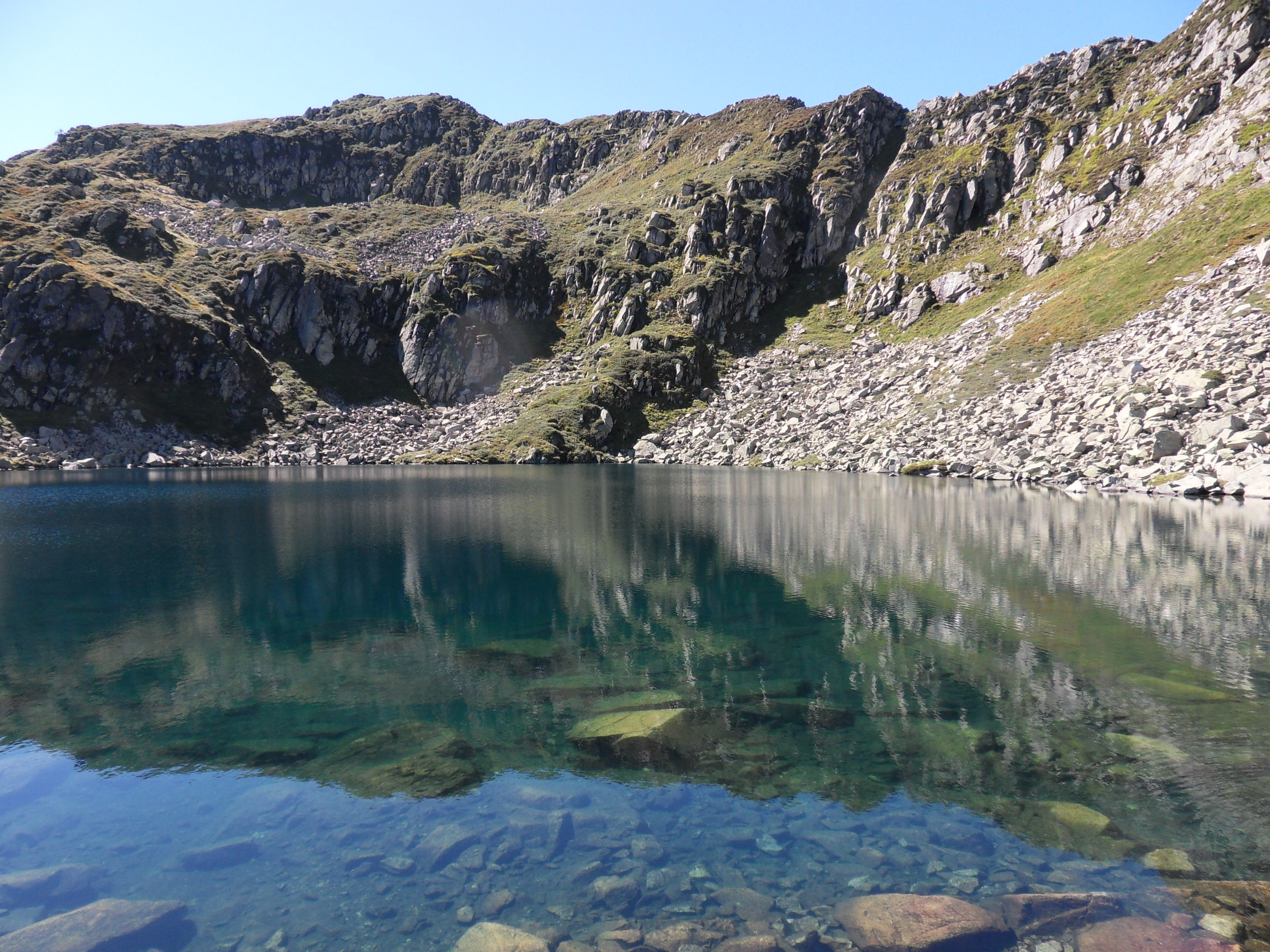
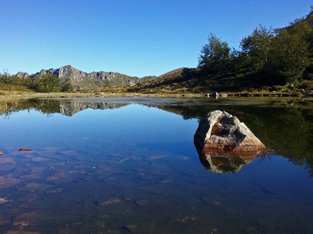
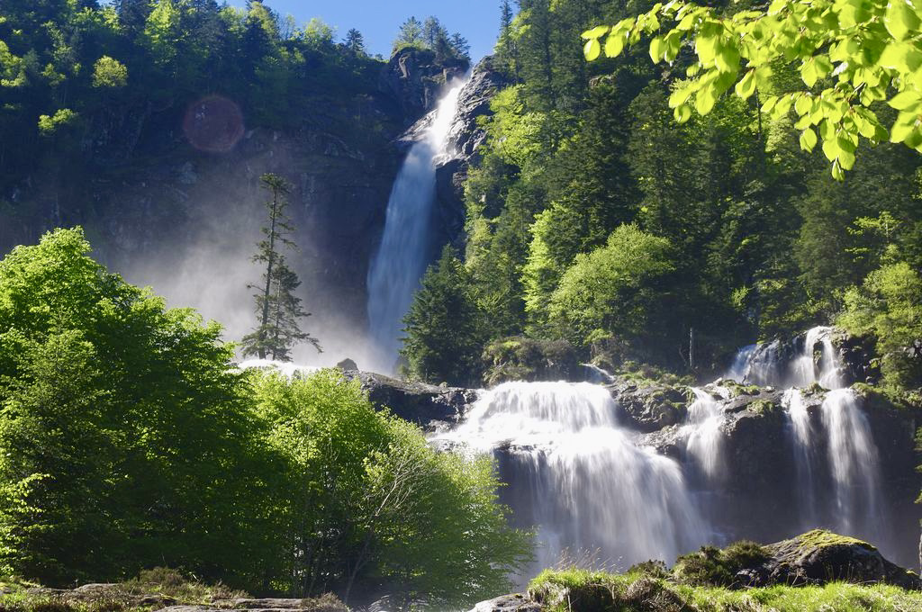
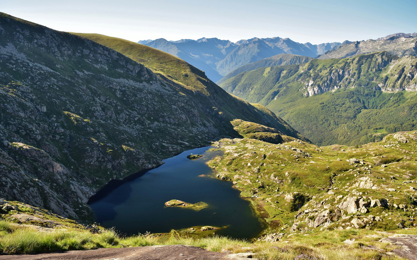
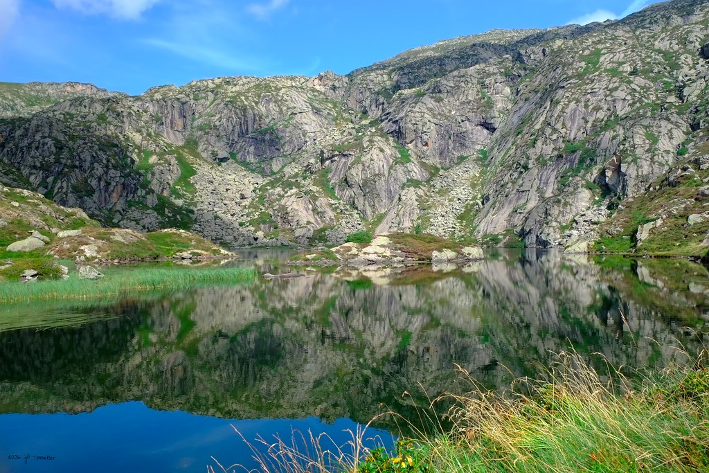
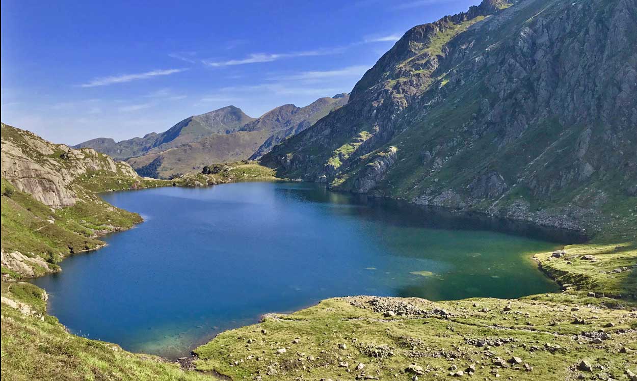
Nice hike leading to the Garbet pond. The first part of the trail runs along a stream in the Bois des Coumes, before reaching the Pic du Garbet at 1,456 meters above sea level. Finally, the arrival at the pond itself offers a superb landscape.

Already more than 200,000 users!
Uphill
587m
Highest point
1688m
Downhill
587m
Lowest point
1145m
Route type
There and back
Download the map on your smartphone to save battery and rest assured to always keep access to the route, even without signal.
Includes IGN France and Swisstopo.
I indicate whether dogs are allowed or prohibited on this trail
From May to October
2 ratings
Also enjoy:

Already more than 200,000 users!