Uphill
603m
France > Occitanie > Ariège > Ariège Pyrenees Regional Natural Park
Length
9km
Duration
4h30min
Elev gain
603m
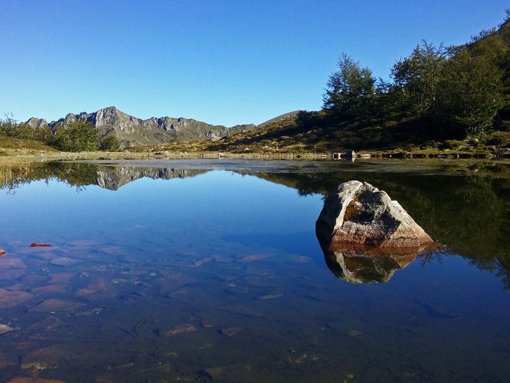
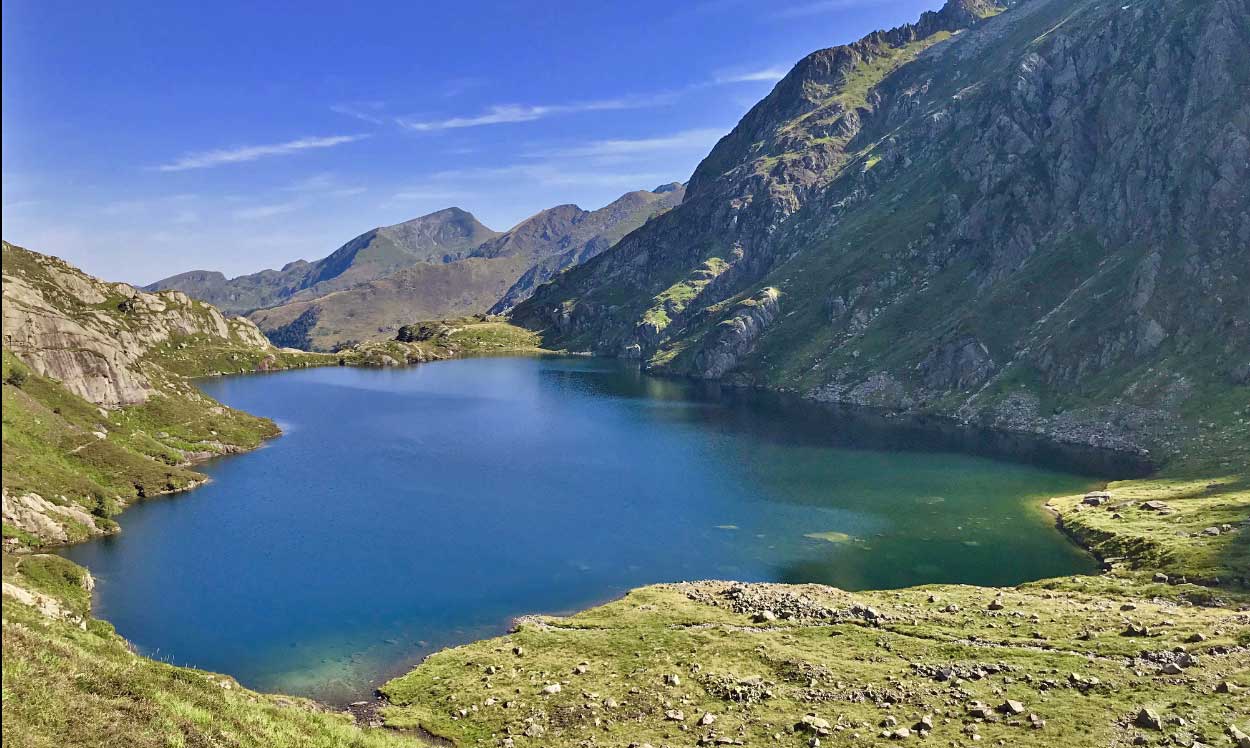
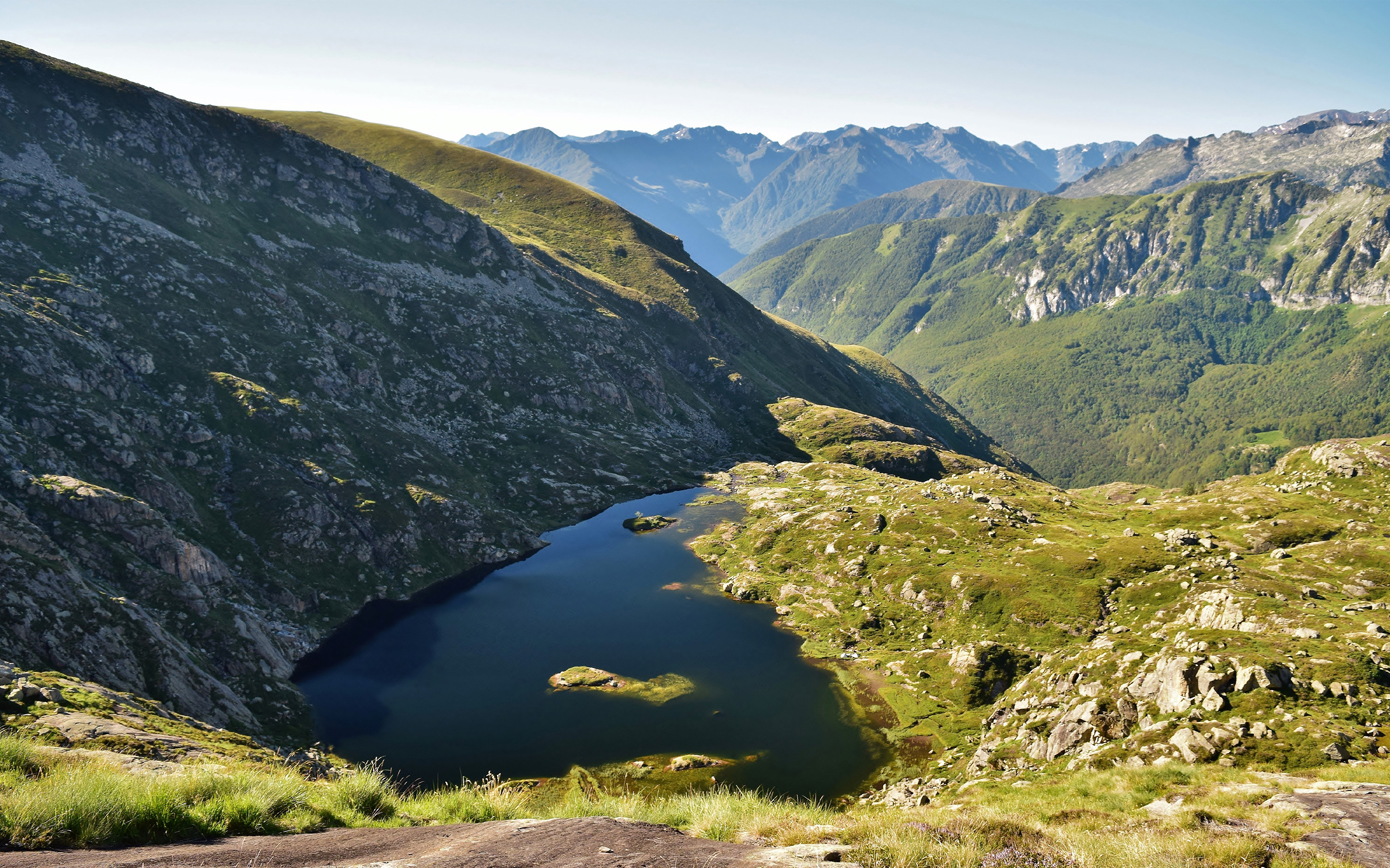
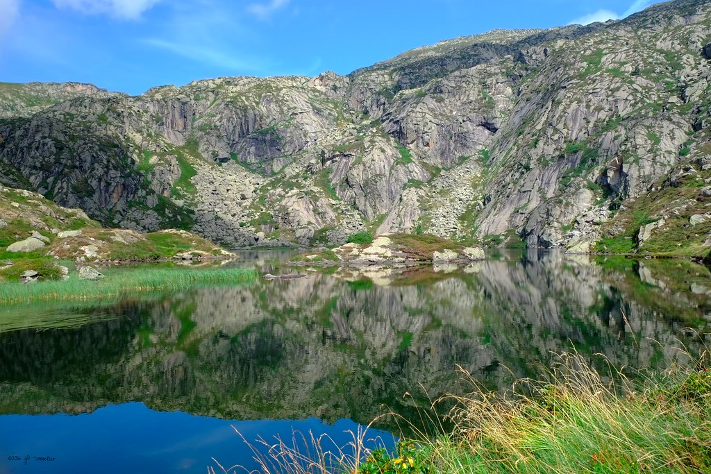
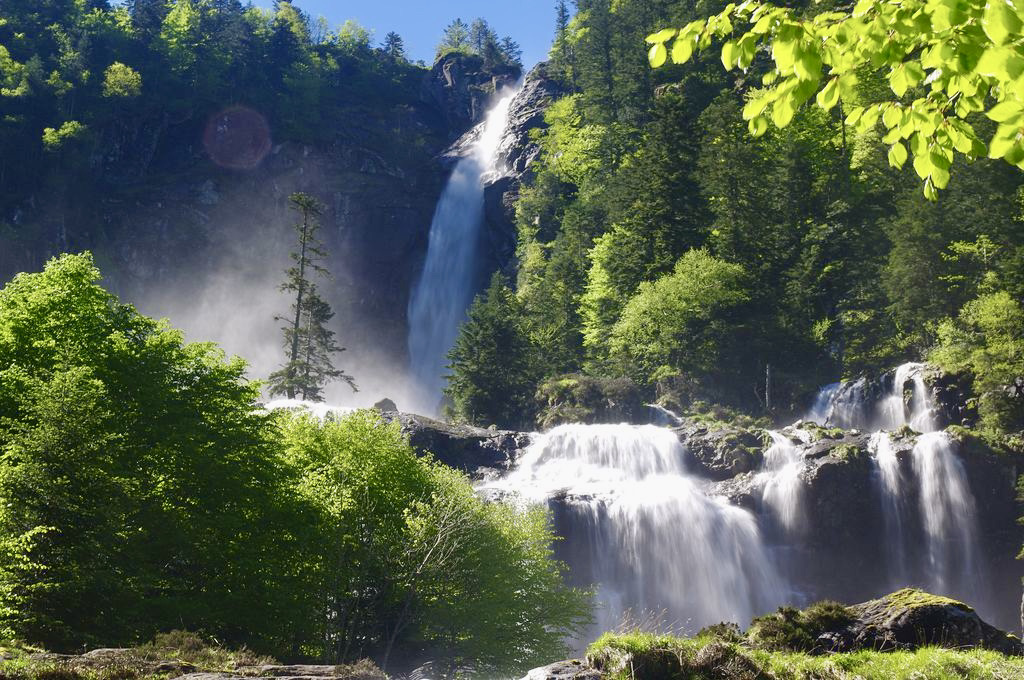
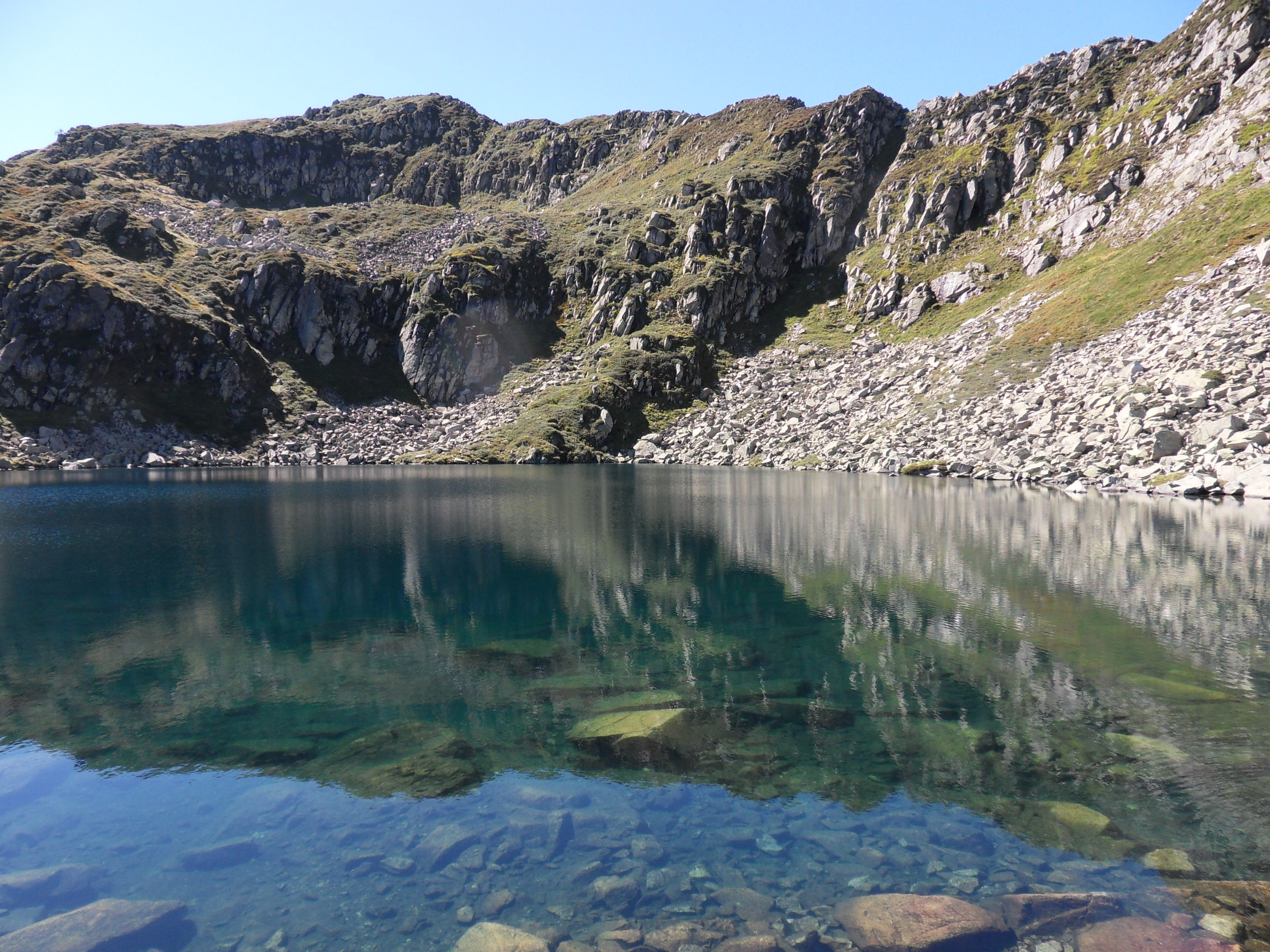
This is a varied hike starting near Aulus-les-Bains. Passing by the Alate pond, the path runs along the Cabanatous peak then descends by the Labant pond before returning to the Coumebière plateau.

Already more than 200,000 users!
Uphill
603m
Highest point
1972m
Downhill
603m
Lowest point
1401m
Route type
Loop
Download the map on your smartphone to save battery and rest assured to always keep access to the route, even without signal.
Includes IGN France and Swisstopo.
I indicate whether dogs are allowed or prohibited on this trail
From May to October
2 ratings
Also enjoy:

Already more than 200,000 users!