Uphill
430m
France > Occitanie > Aveyron > Grands Causses Regional Natural Park
Length
8km
Duration
3h30min
Elev gain
430m
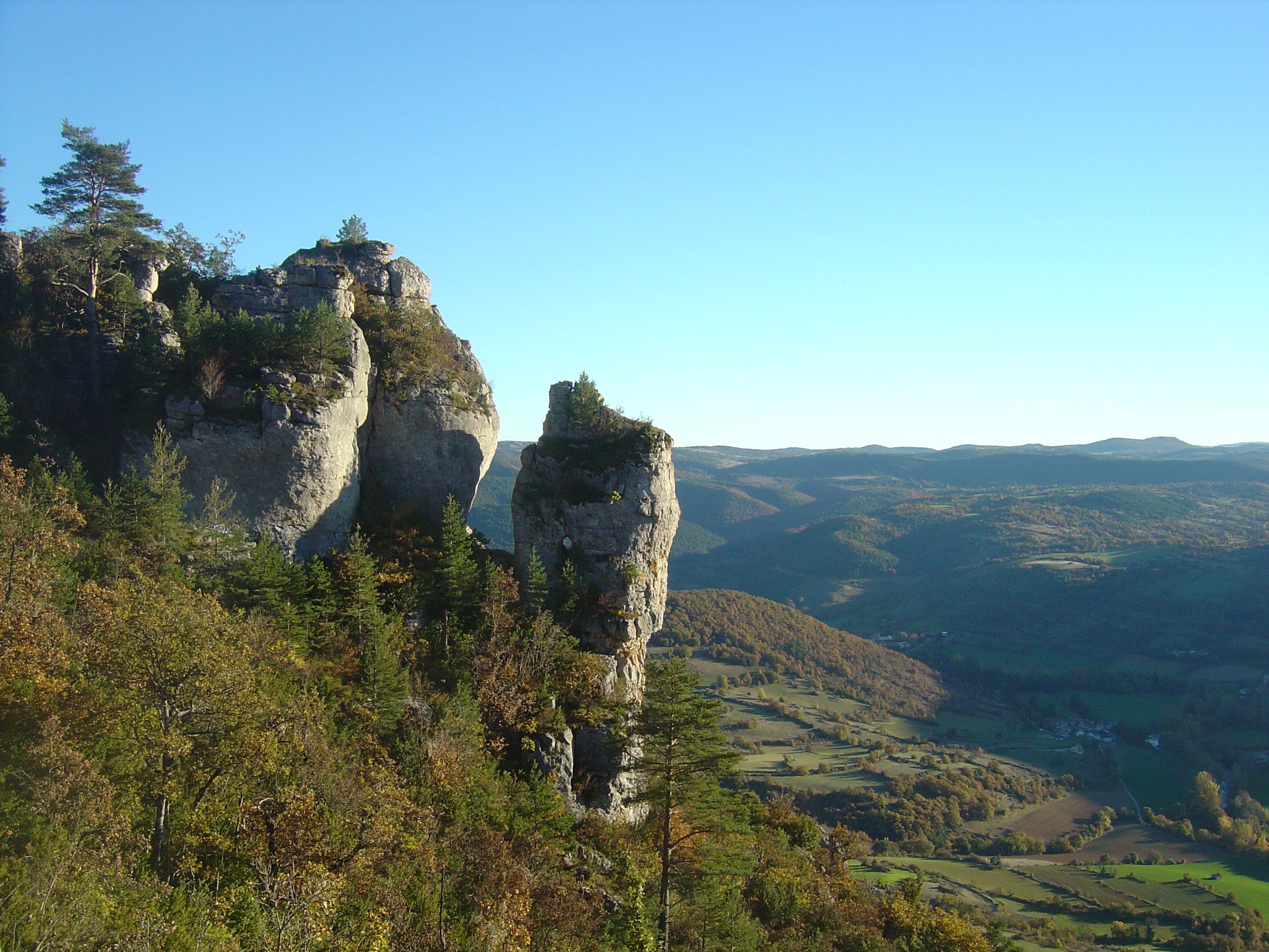
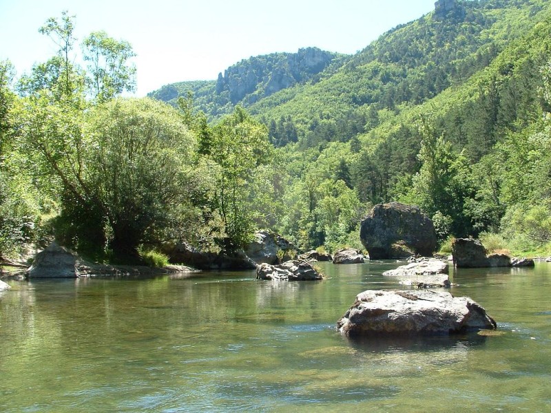
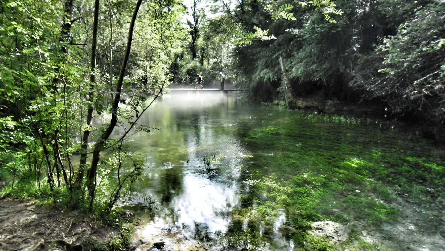
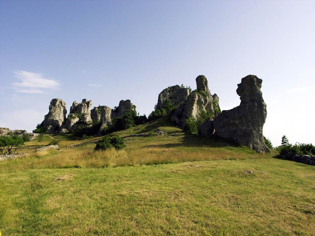
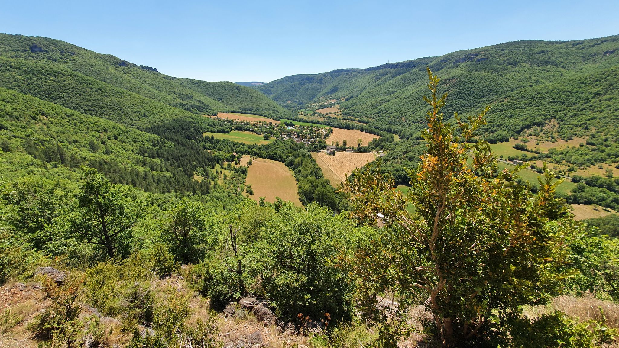
After leaving from the banks of the Dourbie, near Nant, the path rushes into the forest and takes the direction of the belvedere. Once up there, the panorama over the Dourbie valley and the Causse du Larzac is splendid. The return to the starting point is mainly in the forest, in the shade of the trees.

Already more than 200,000 users!
Uphill
430m
Highest point
839m
Downhill
430m
Lowest point
458m
Route type
Loop
Download the map on your smartphone to save battery and rest assured to always keep access to the route, even without signal.
Includes IGN France and Swisstopo.
I indicate whether dogs are allowed or prohibited on this trail
All year
1 rating
Also enjoy:

Already more than 200,000 users!