Uphill
384m
Length
4km
Duration
2h30min
Elev gain
384m
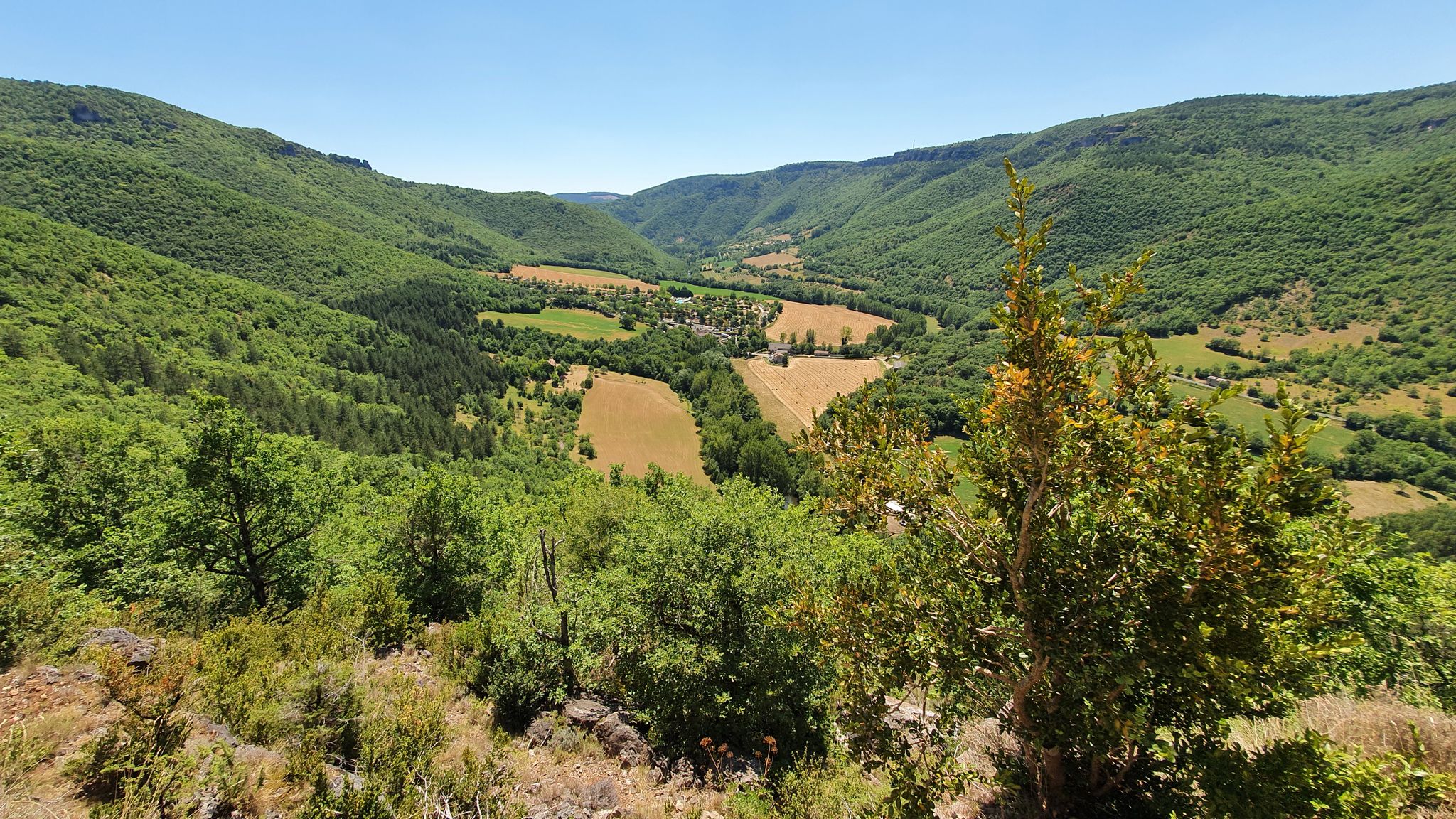
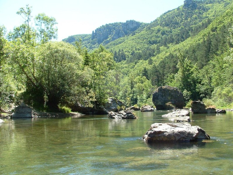
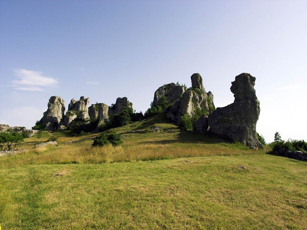
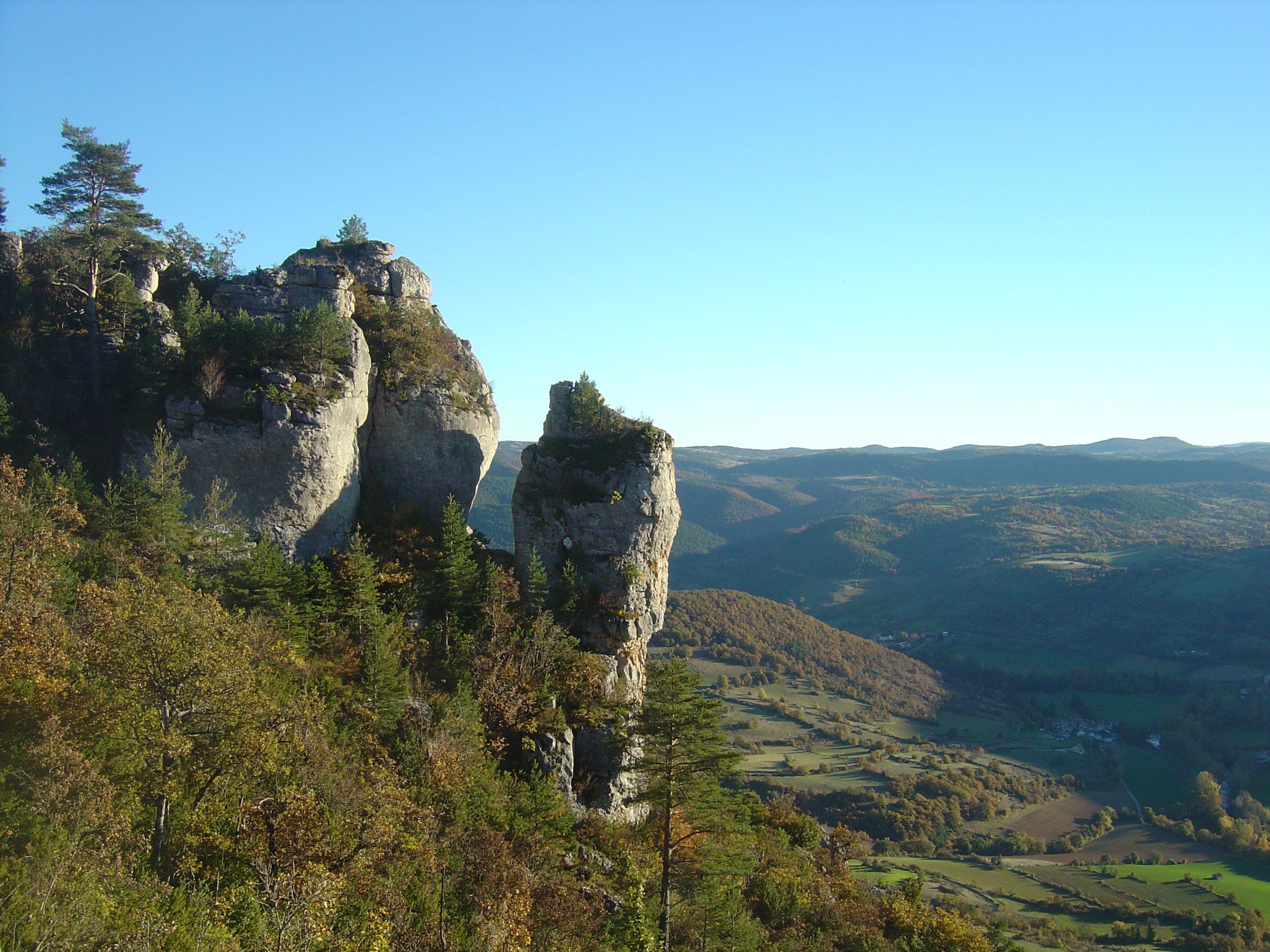
This walk begins on the banks of the Dourbie and leads to Roc Nantais. The route, relatively short, has a steep drop in order to climb to the top of the hike. At the top, the efforts are rewarded with a splendid panorama over the charming Dourbie valley. The return to the starting point is done by the same path, watch your knees!

Already more than 200,000 users!
Uphill
384m
Highest point
797m
Downhill
384m
Lowest point
474m
Route type
There and back
Download the map on your smartphone to save battery and rest assured to always keep access to the route, even without signal.
Includes IGN France and Swisstopo.
I indicate whether dogs are allowed or prohibited on this trail
All year
0 ratings
Also enjoy:

Already more than 200,000 users!