Uphill
131m
Length
6km
Duration
2h
Elev gain
131m
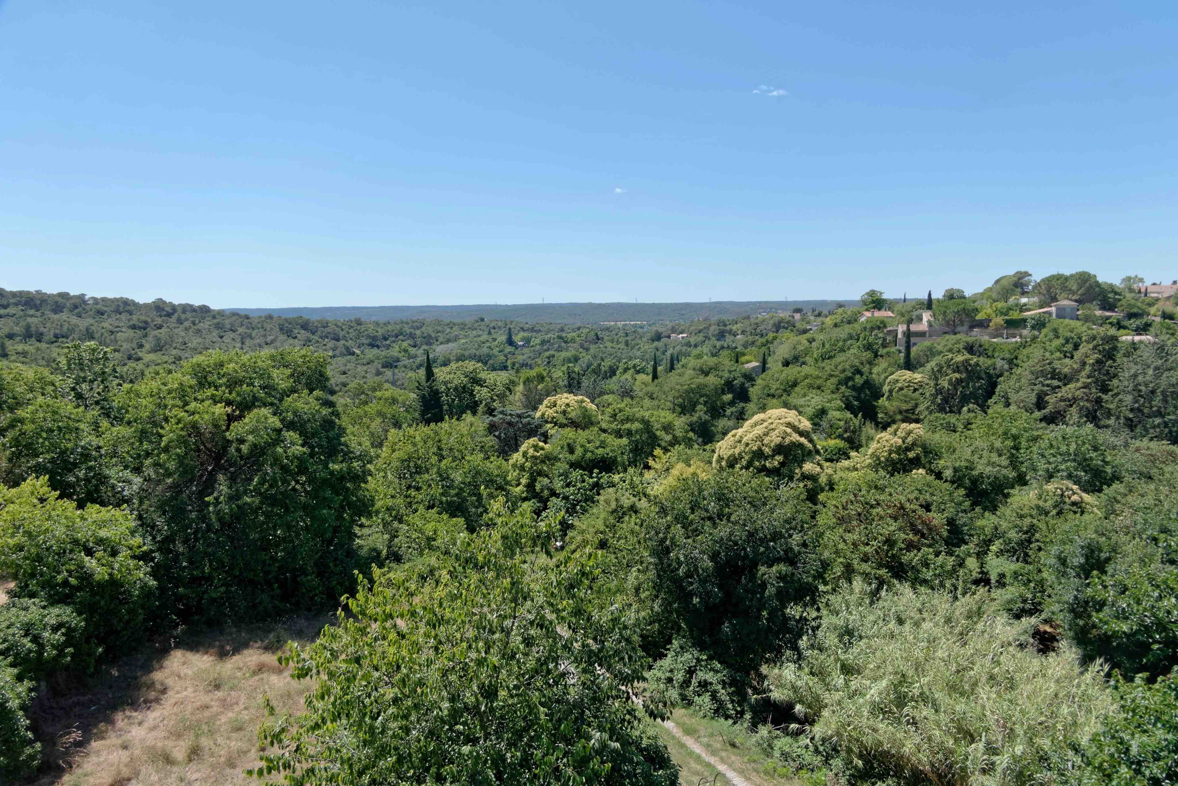
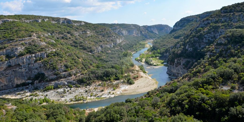
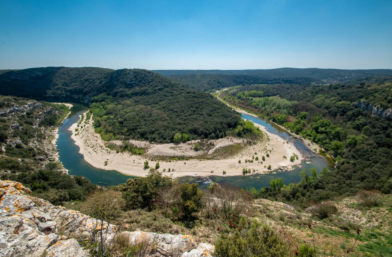
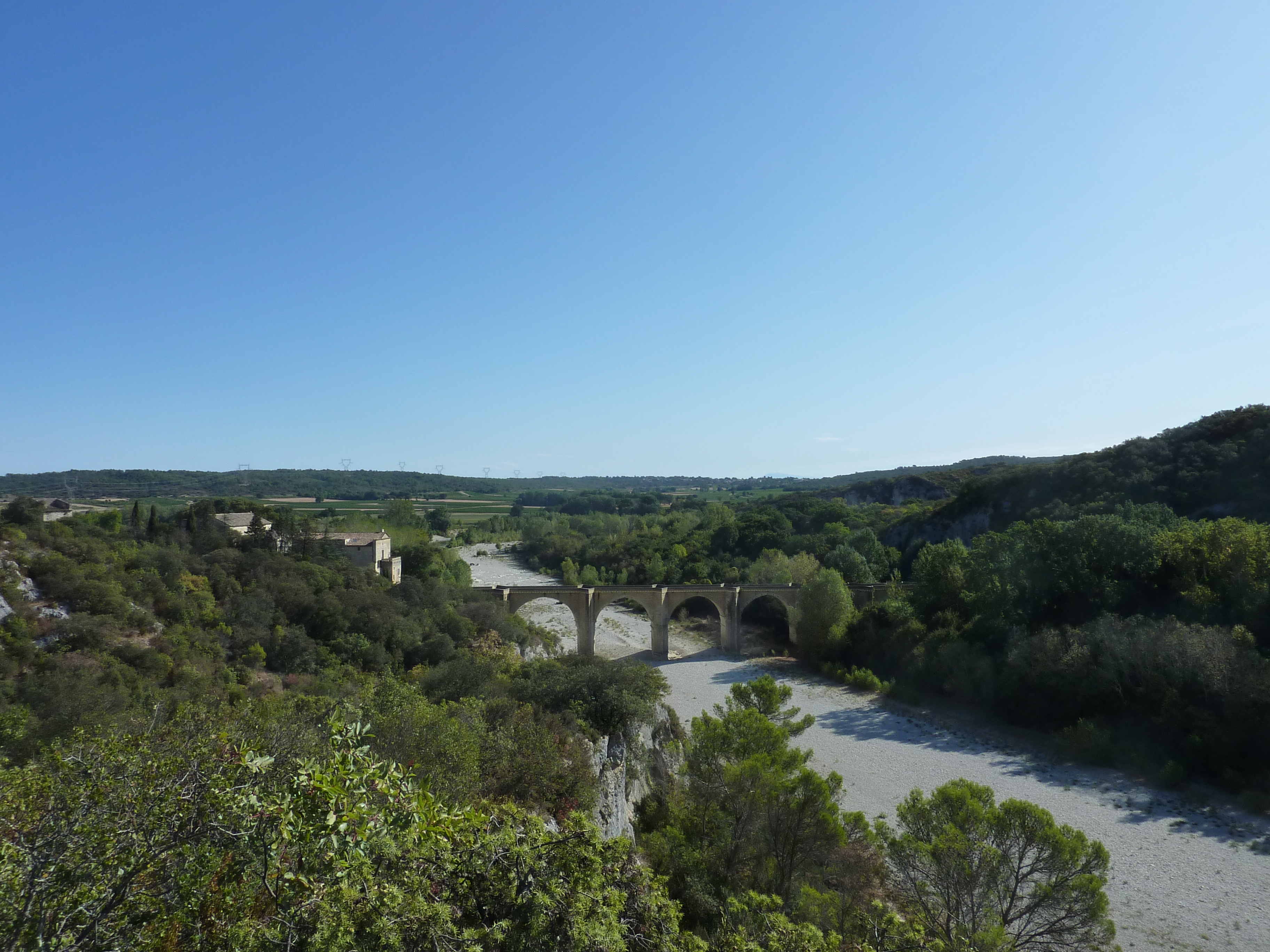
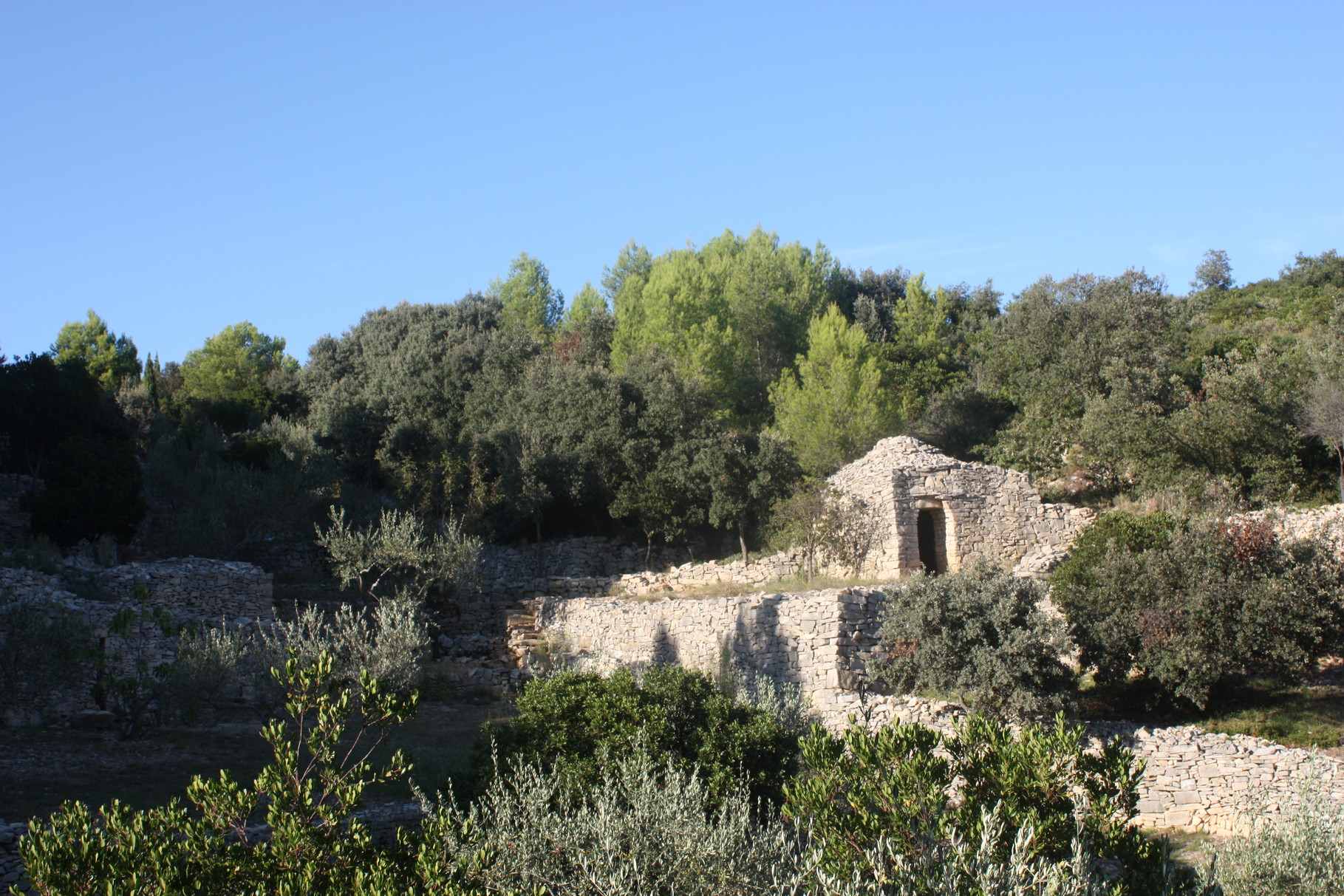
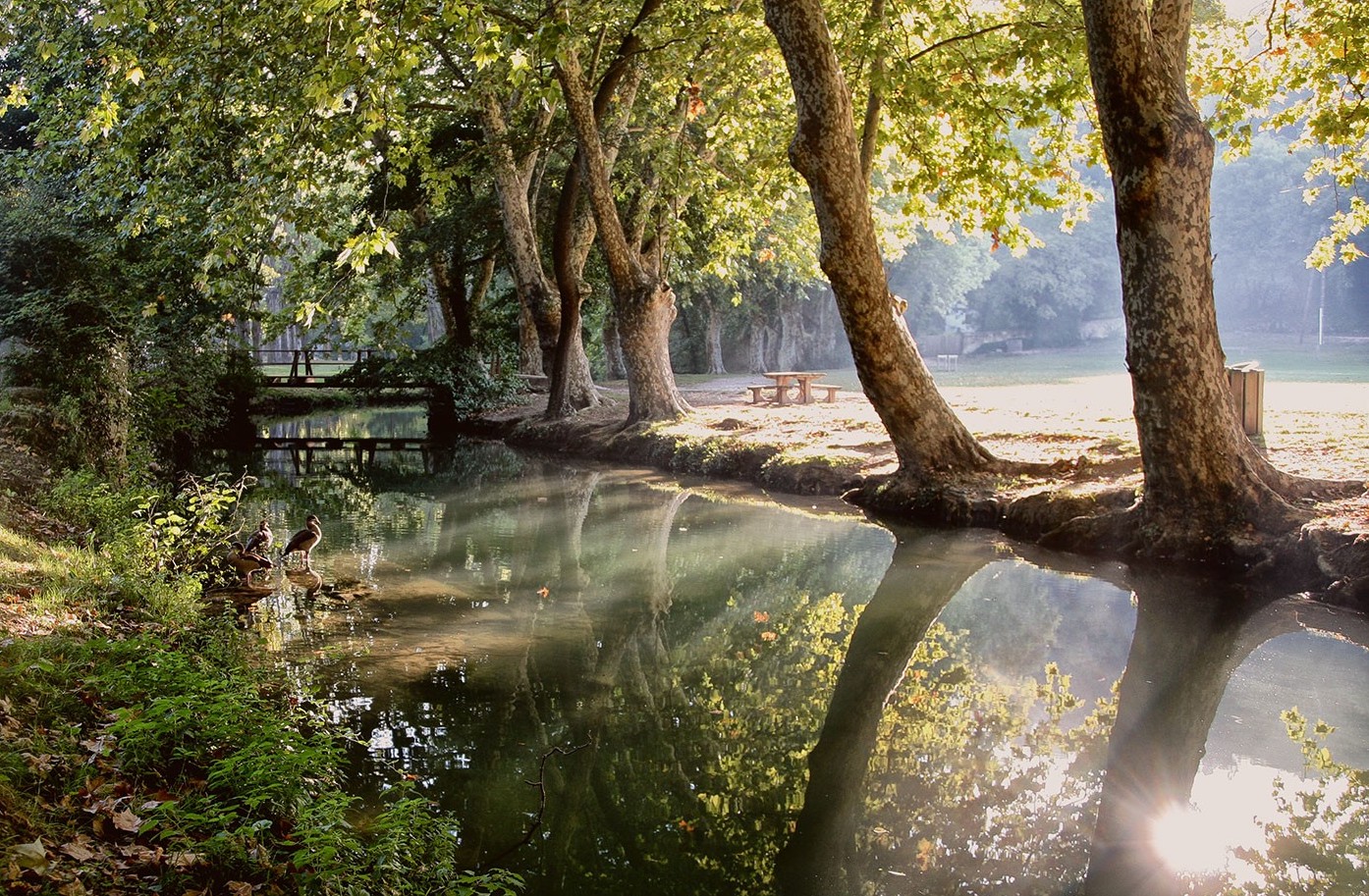
Leaving from Uzès, this walk climbs rapidly through the forest before skirting the Alzon and then returning to the starting point. The landscapes are pleasant and the trail is well marked. An ideal hike for the family.

Already more than 200,000 users!
Uphill
131m
Highest point
176m
Downhill
131m
Lowest point
66m
Route type
Loop
Download the map on your smartphone to save battery and rest assured to always keep access to the route, even without signal.
Includes IGN France and Swisstopo.
I indicate whether dogs are allowed or prohibited on this trail
All year
1 rating
Also enjoy:

Already more than 200,000 users!