Uphill
293m
Length
7km
Duration
2h30min
Elev gain
293m
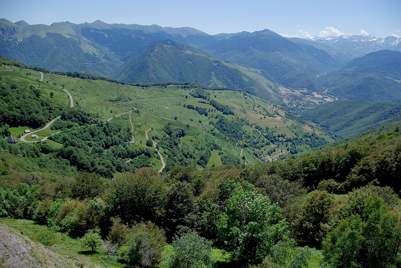
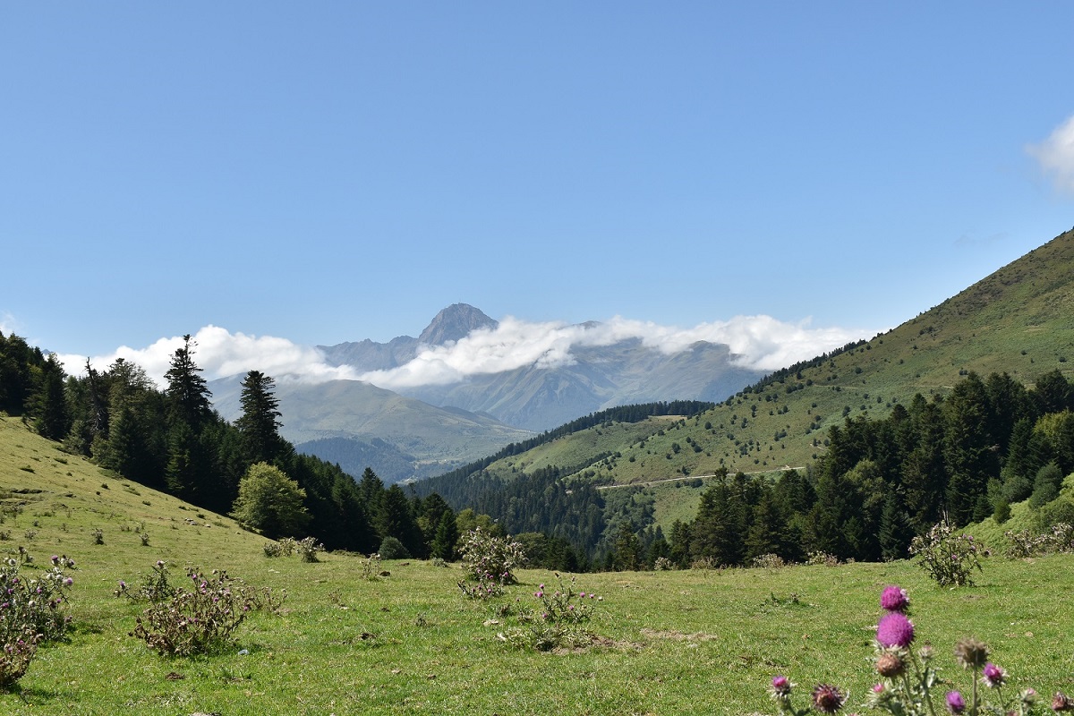
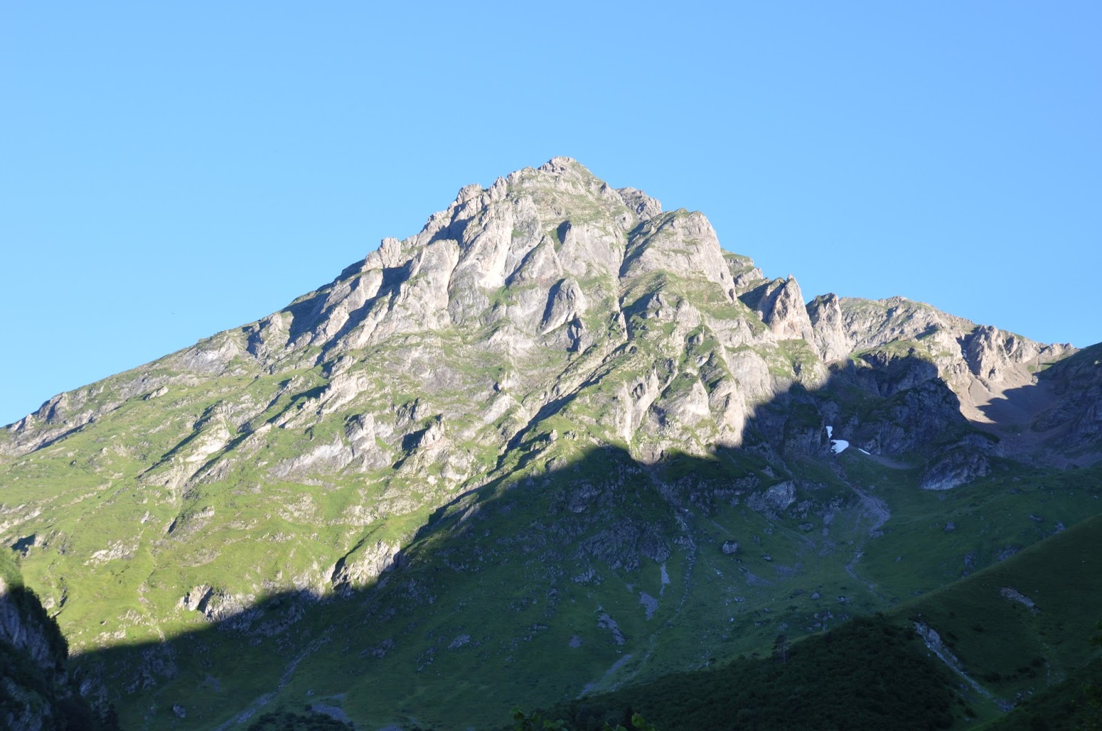
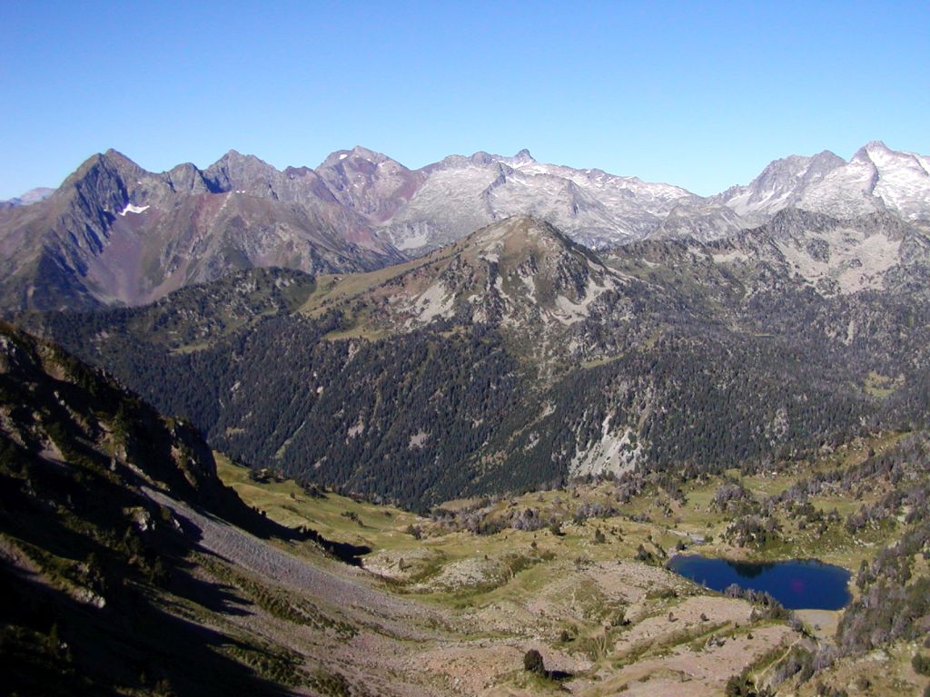
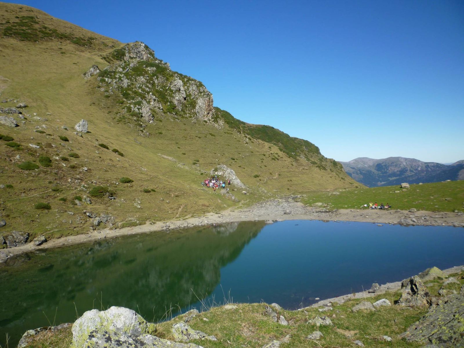
Starting from the Col d'Hourquette d'Ancizan, this there and back trail joins the small lake of Arou (1786 m) in the Campan valley.
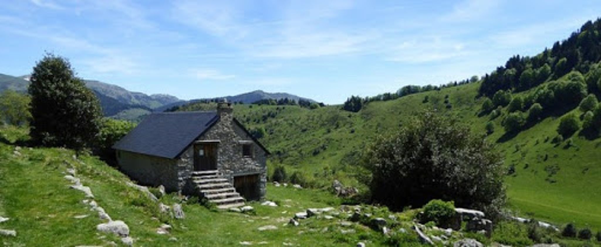
Beautiful landscapes, very little vegetation, but populated by marmots, vultures, goats, and cows!

Already more than 200,000 users!
Uphill
293m
Highest point
1796m
Downhill
293m
Lowest point
1550m
Route type
There and back
Download the map on your smartphone to save battery and rest assured to always keep access to the route, even without signal.
Includes IGN France and Swisstopo.
I indicate whether dogs are allowed or prohibited on this trail
From May to October
0 ratings
Also enjoy:

Already more than 200,000 users!