Uphill
1203m
Length
12km
Duration
8h
Elev gain
1203m
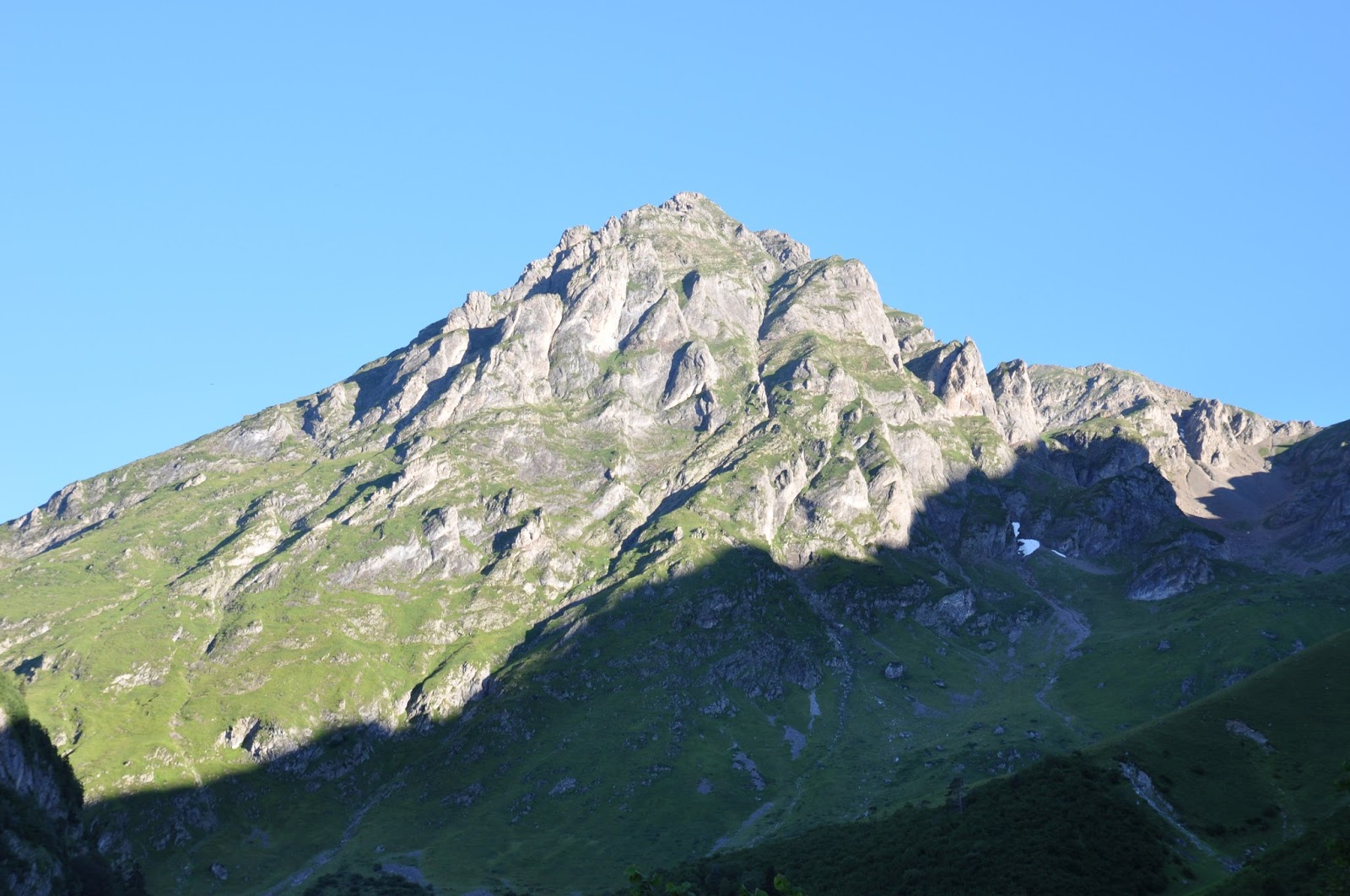
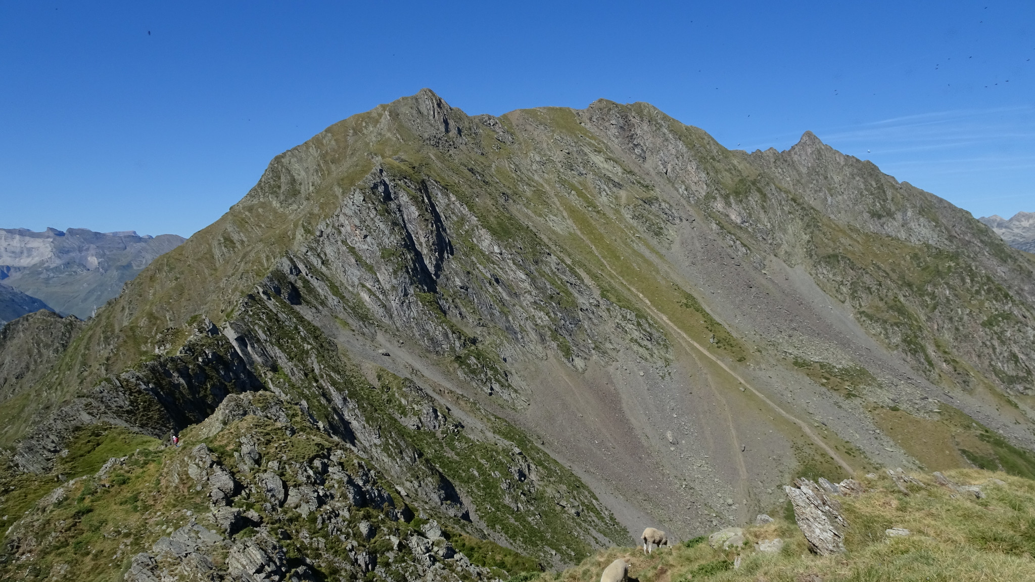
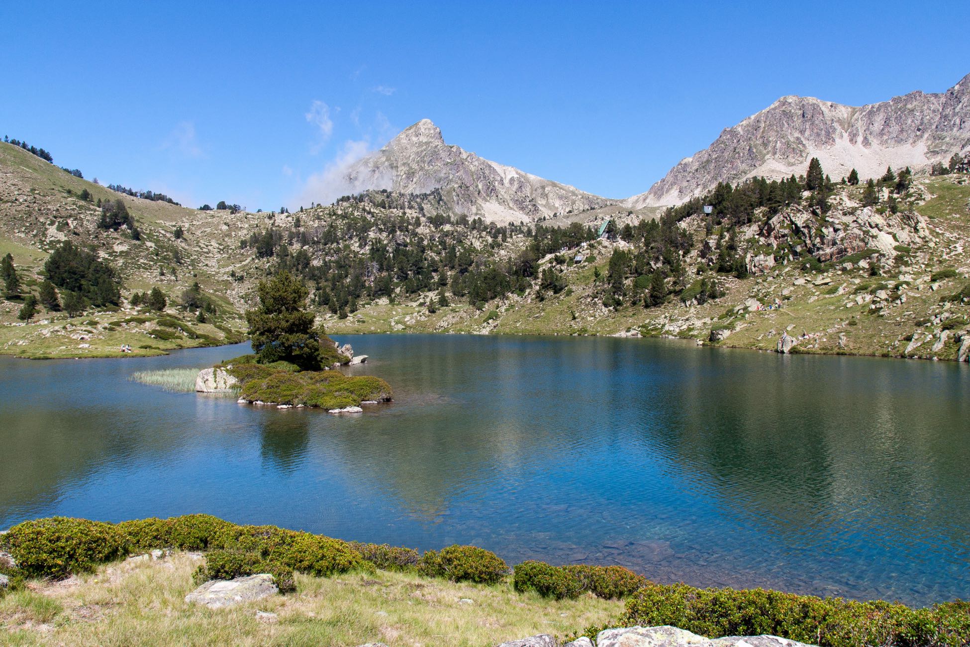
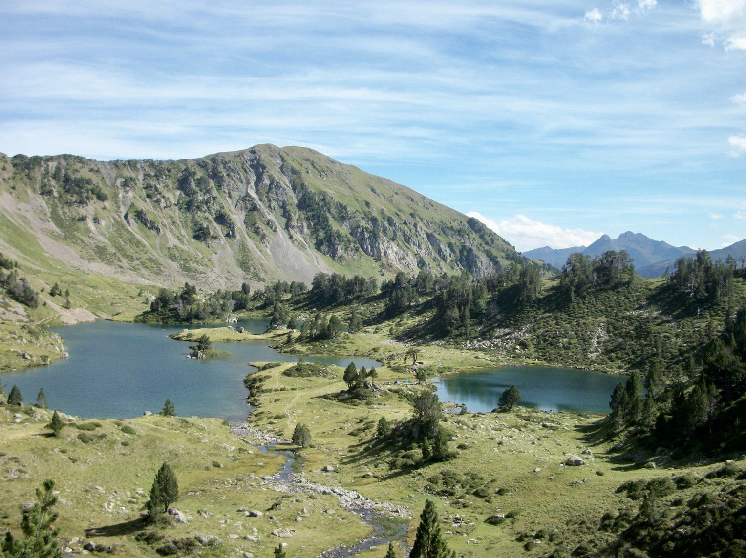
This is a hike as beautiful as it is demanding in the Lavedan valley.
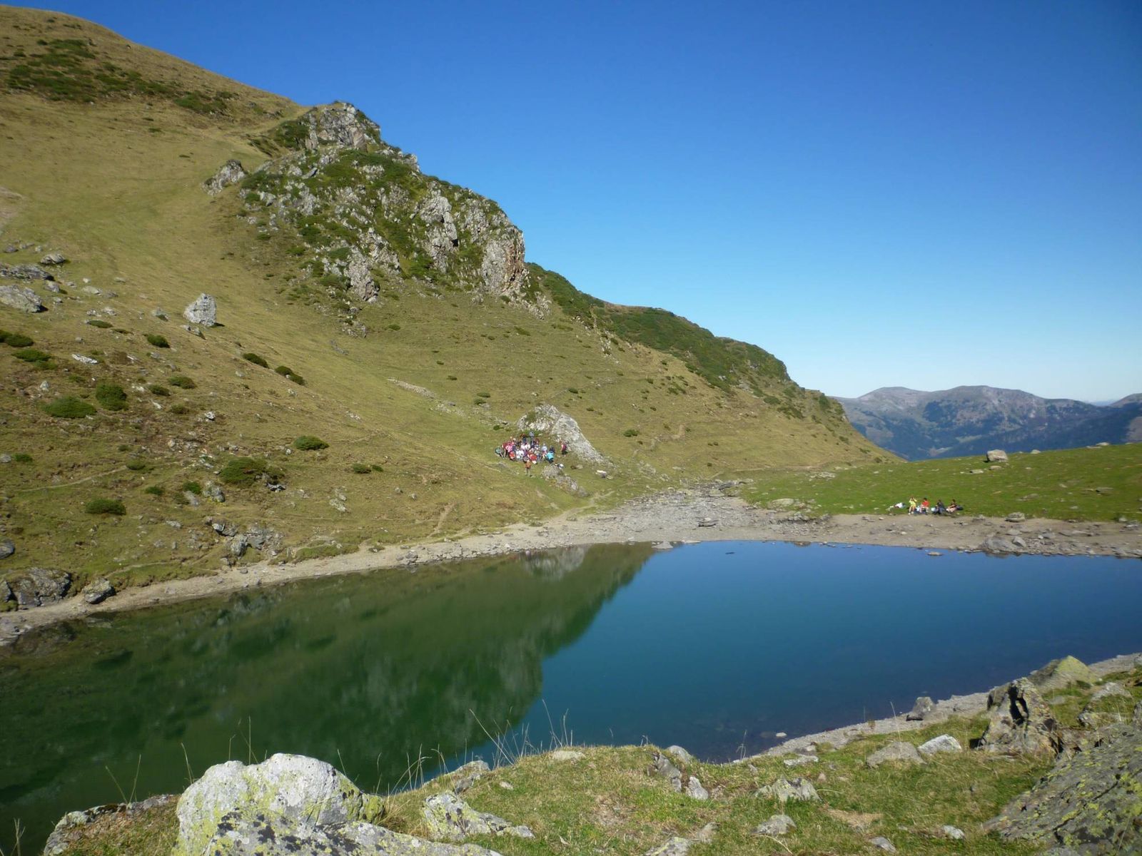
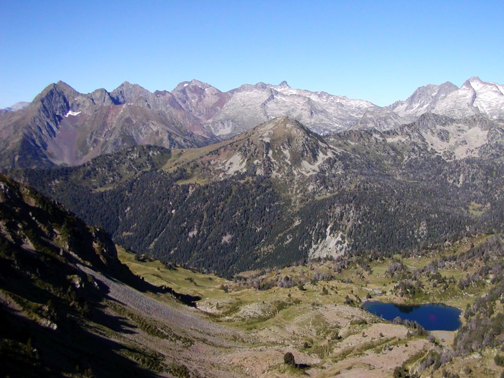
The path gradually climbs along a river passing by the Auloueilh cabin. It then passes through the Col de Bastan, located at 2,481 meters, which offers a magnificent view of the Lac de Bastan. Then the final ascent to Pichaley (2,626 m) is via a ridge, in order to obtain a 360° panorama.

Already more than 200,000 users!
Uphill
1203m
Highest point
2606m
Downhill
1203m
Lowest point
1401m
Route type
There and back
Download the map on your smartphone to save battery and rest assured to always keep access to the route, even without signal.
Includes IGN France and Swisstopo.
I indicate whether dogs are allowed or prohibited on this trail
From June to September
0 ratings
Also enjoy:

Already more than 200,000 users!