Uphill
735m
Length
12km
Duration
5h30min
Elev gain
735m
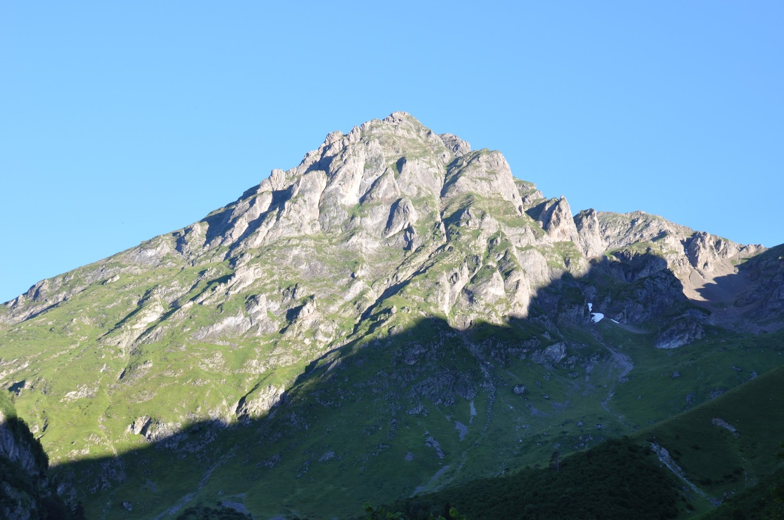
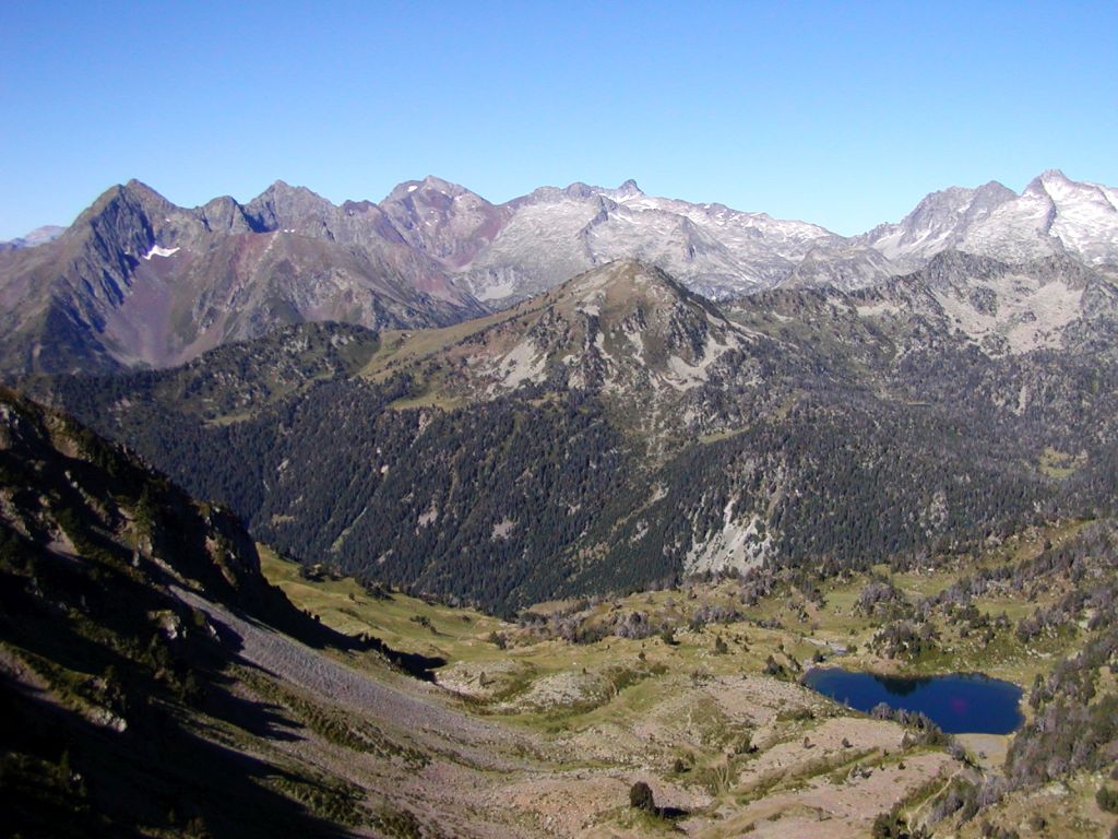
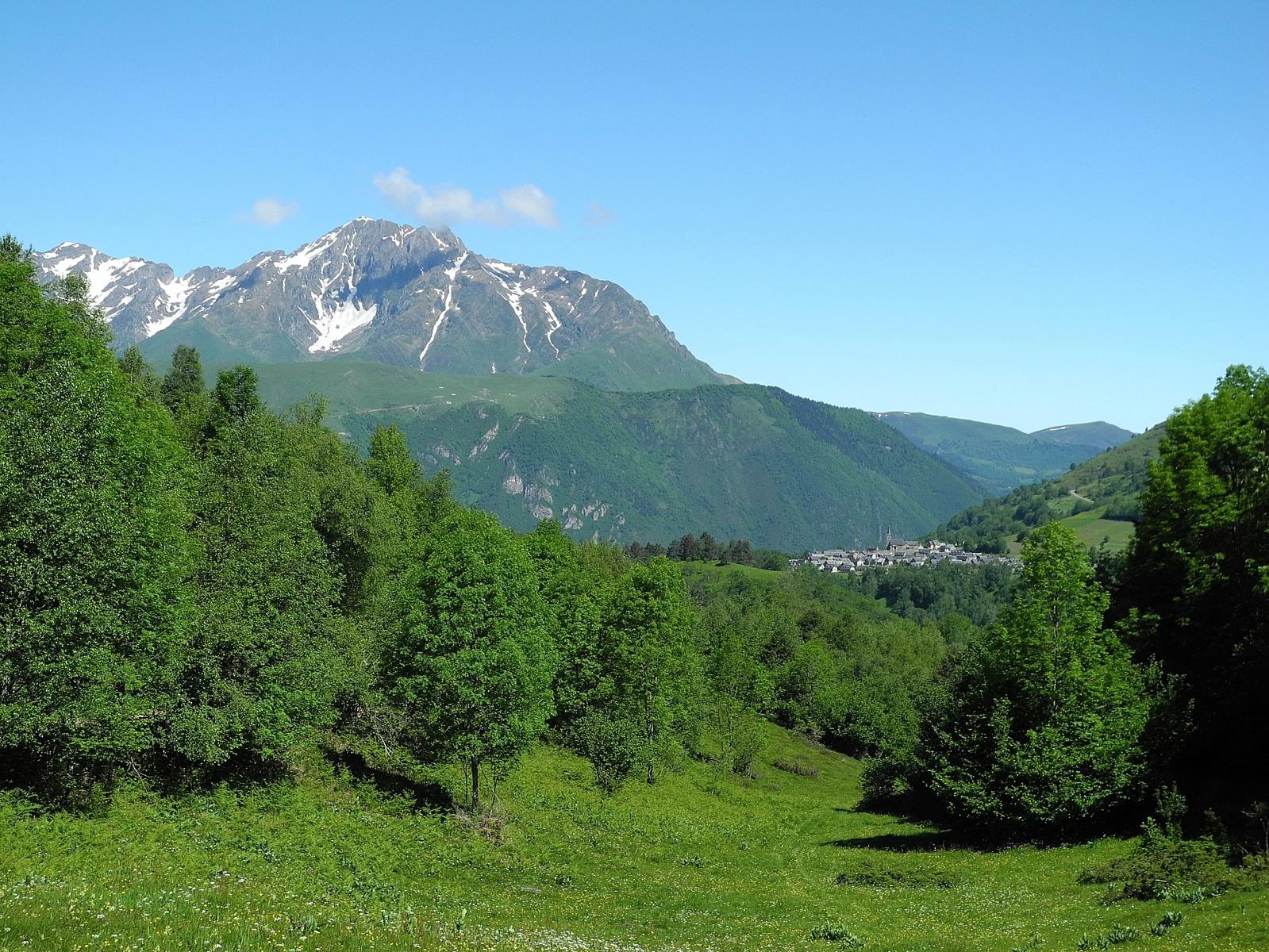
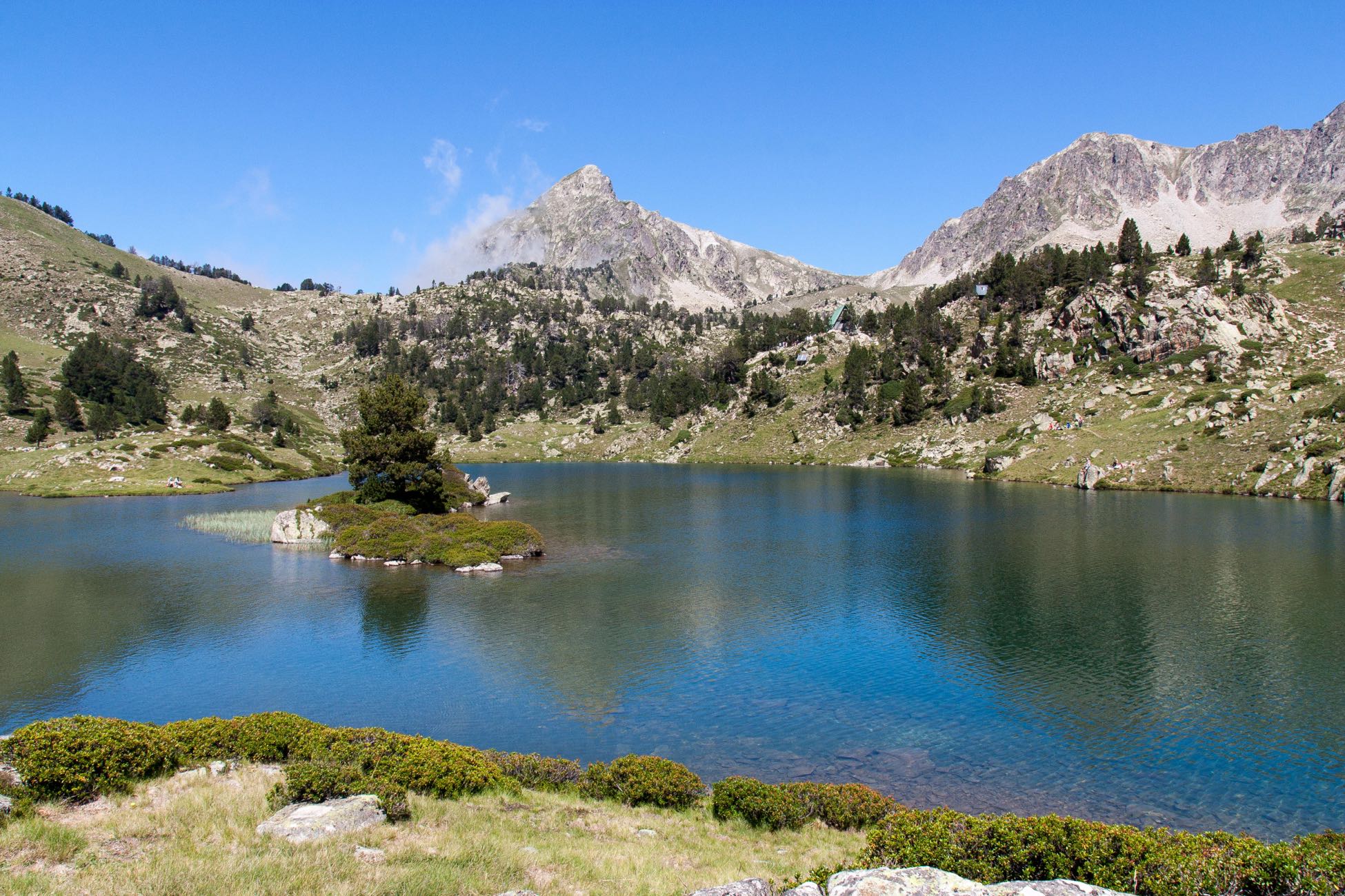
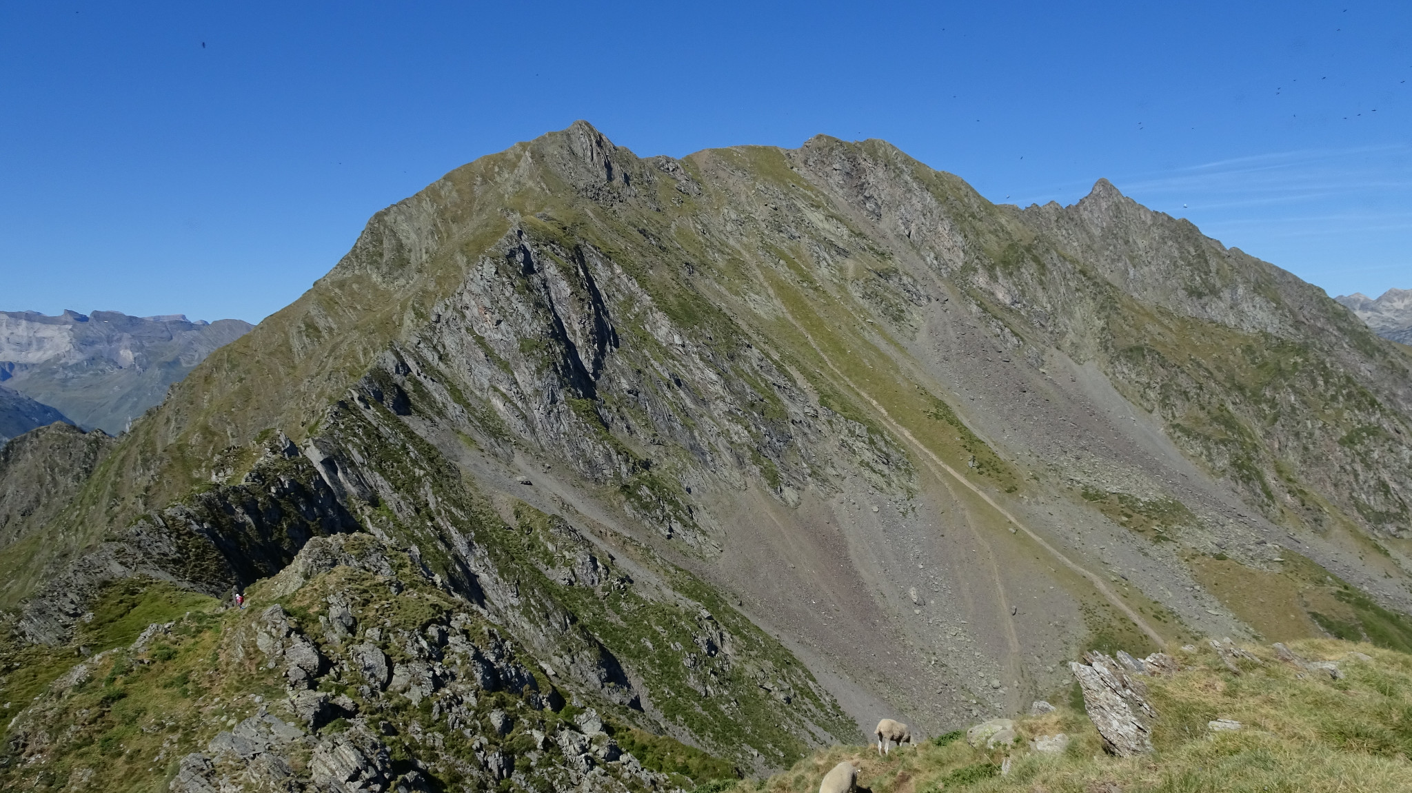
Departing from the Pla d'Adet ski area, this hike dominates the valley of the neste d'Aure. The trail leads to Soum de Matte, which culminates at 2,277 meters above sea level. The view is dizzying and the panorama of the Pic d'Aret is impressive.
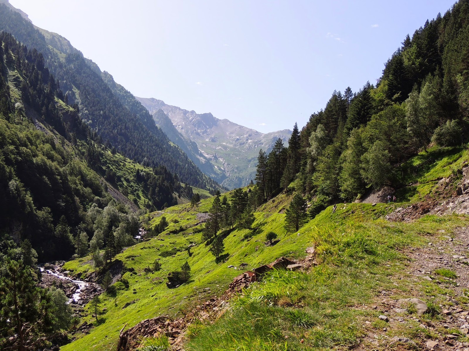
Please note that the path takes wide tracks, which can be frequented by mountain bikes.

Already more than 200,000 users!
Uphill
735m
Highest point
2346m
Downhill
735m
Lowest point
1628m
Route type
There and back
Download the map on your smartphone to save battery and rest assured to always keep access to the route, even without signal.
Includes IGN France and Swisstopo.
I indicate whether dogs are allowed or prohibited on this trail
From May to September
0 ratings
Also enjoy:

Already more than 200,000 users!