Uphill
195m
Length
7km
Duration
2h30min
Elev gain
195m
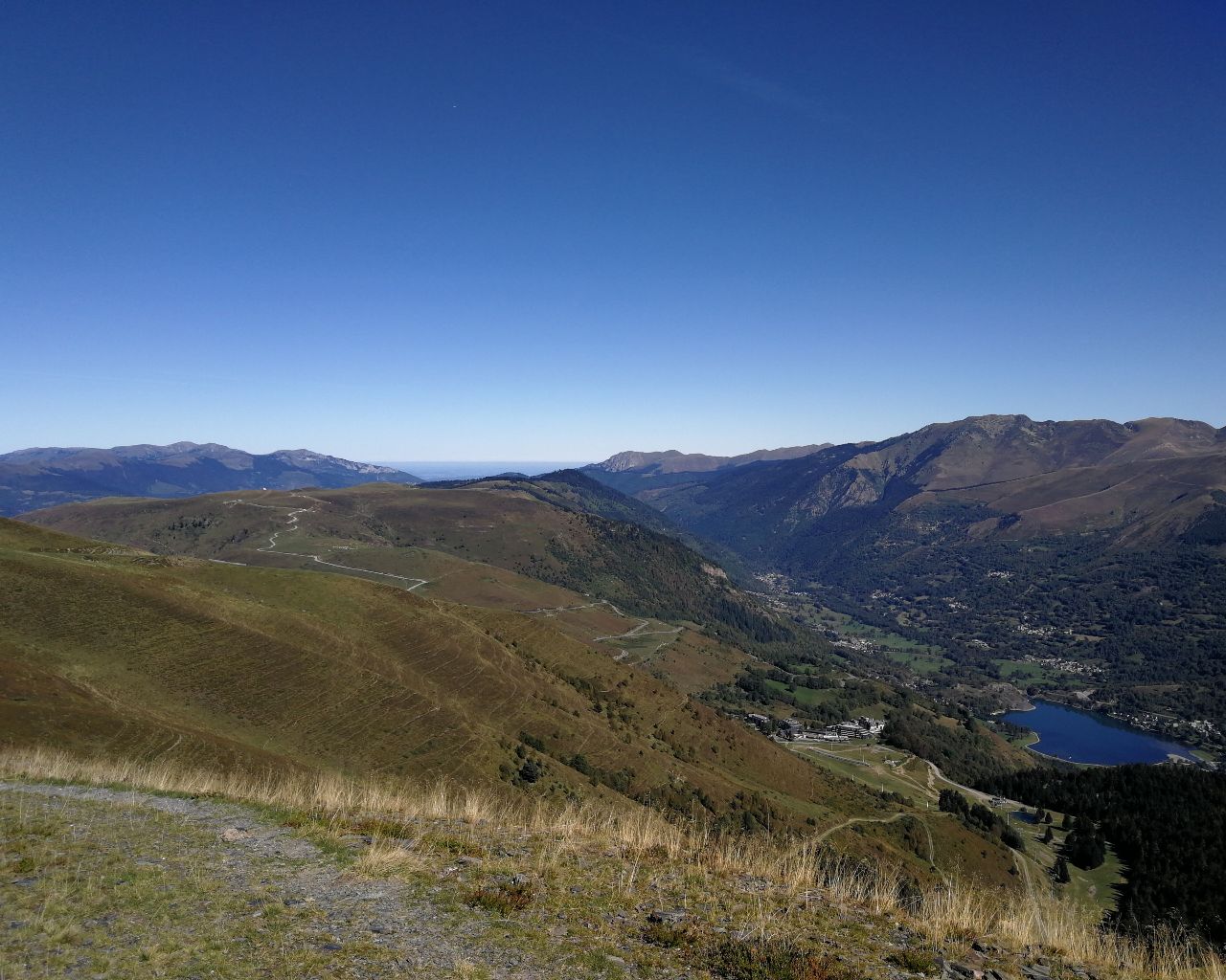
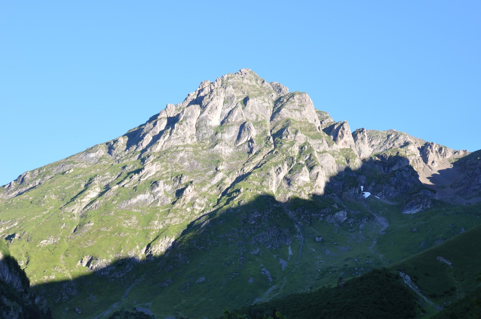
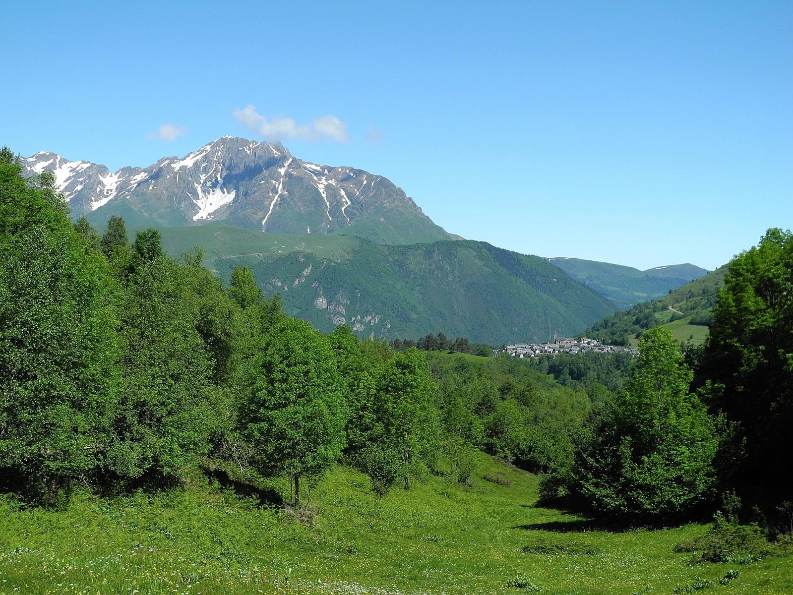
Departing from Azet, this walk alternates between undergrowth and mountain pastures, and passes through the barns of Ourtigué then those of Arsoué.
Note that the first part is carried out on a road.

Already more than 200,000 users!
Uphill
195m
Highest point
1266m
Downhill
195m
Lowest point
1082m
Route type
Loop
Download the map on your smartphone to save battery and rest assured to always keep access to the route, even without signal.
Includes IGN France and Swisstopo.
I indicate whether dogs are allowed or prohibited on this trail
Can be difficult in Winter
2 ratings
Belle randonnée à faire en famille
Ça grimpe un peu à la fin pour les enfants
Also enjoy:

Already more than 200,000 users!