Uphill
963m
Length
12km
Duration
6h30min
Elev gain
963m
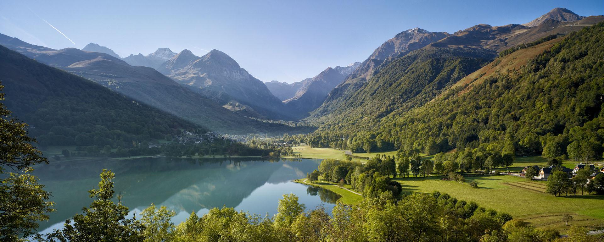
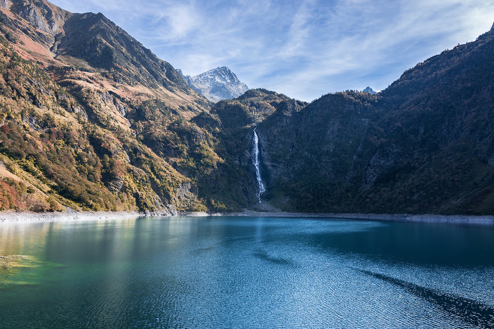
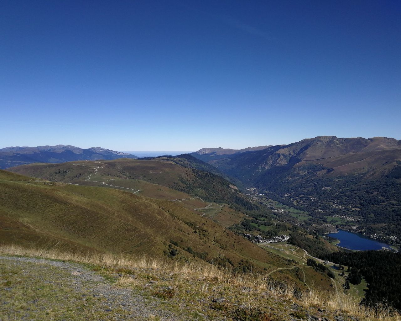
Sporty hike from the Val Louron ski area. The climb passes by the Lapadé belvedere and then continues to Cap de Toudous (2,268m) before arriving at the Pic de Bassias (2,367m). At the top, the view of the valley and the lake of Sarrouyes is very pretty.

Already more than 200,000 users!
Uphill
963m
Highest point
2325m
Downhill
963m
Lowest point
1436m
Route type
There and back
Download the map on your smartphone to save battery and rest assured to always keep access to the route, even without signal.
Includes IGN France and Swisstopo.
I indicate whether dogs are allowed or prohibited on this trail
From May to September
1 rating
Also enjoy:

Already more than 200,000 users!