Uphill
264m
Length
10km
Duration
3h
Elev gain
264m
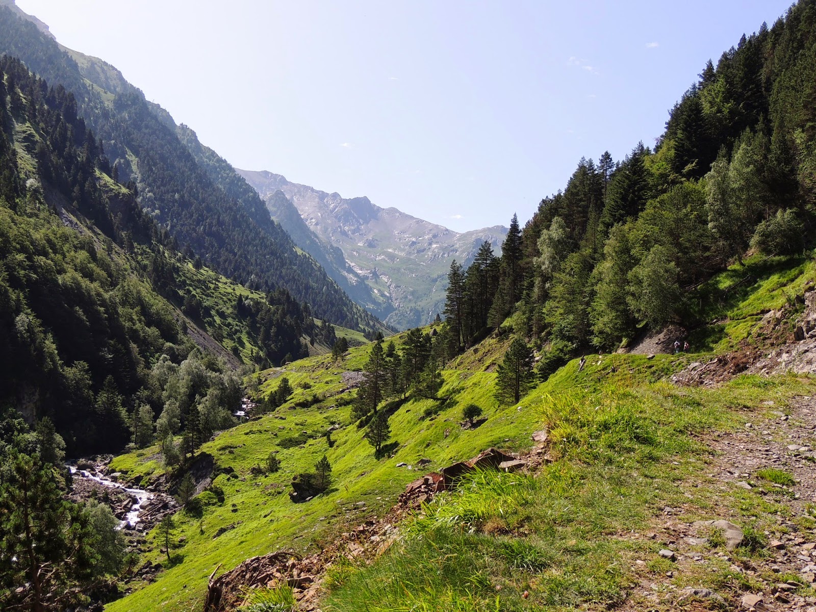
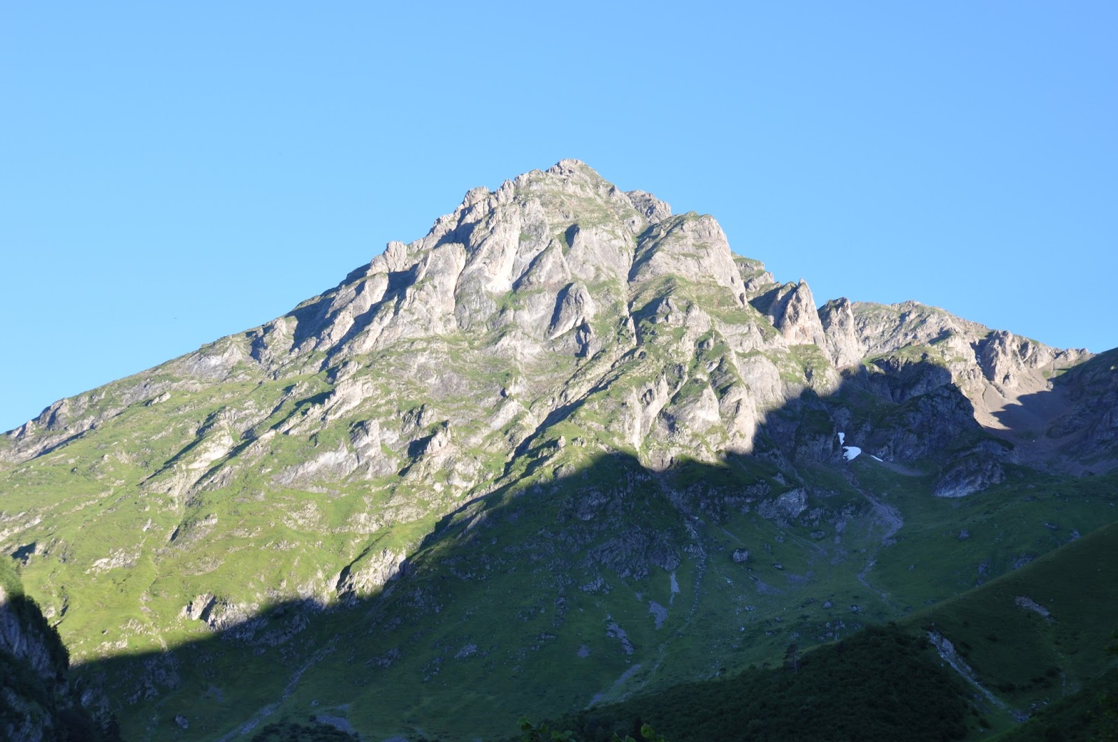
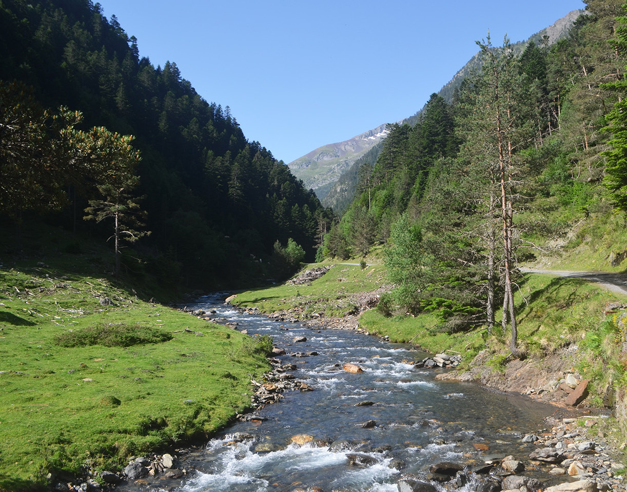
Here is a pleasant hike along the neste de Rioumajou, to a hospice where it is possible to eat from around June to September.
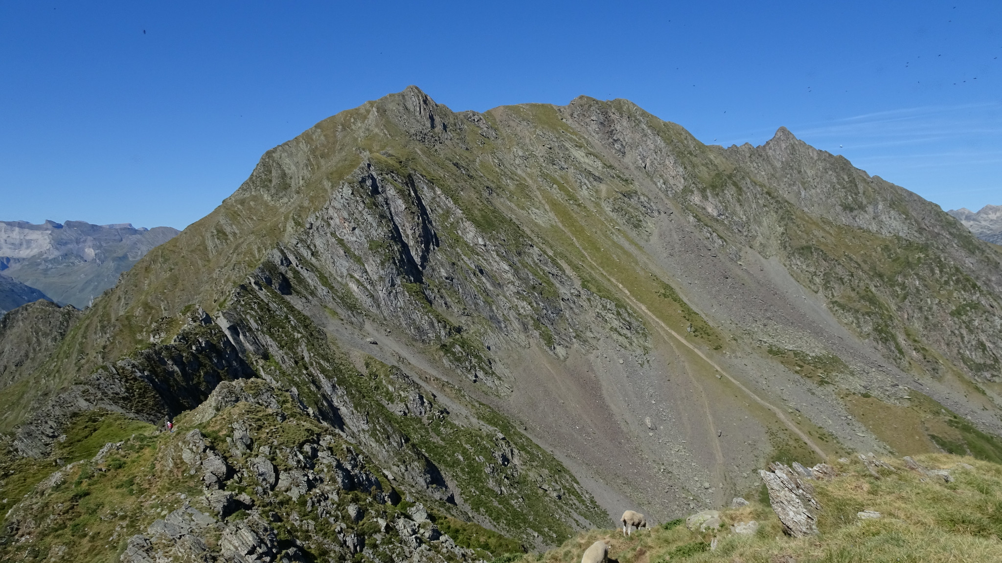
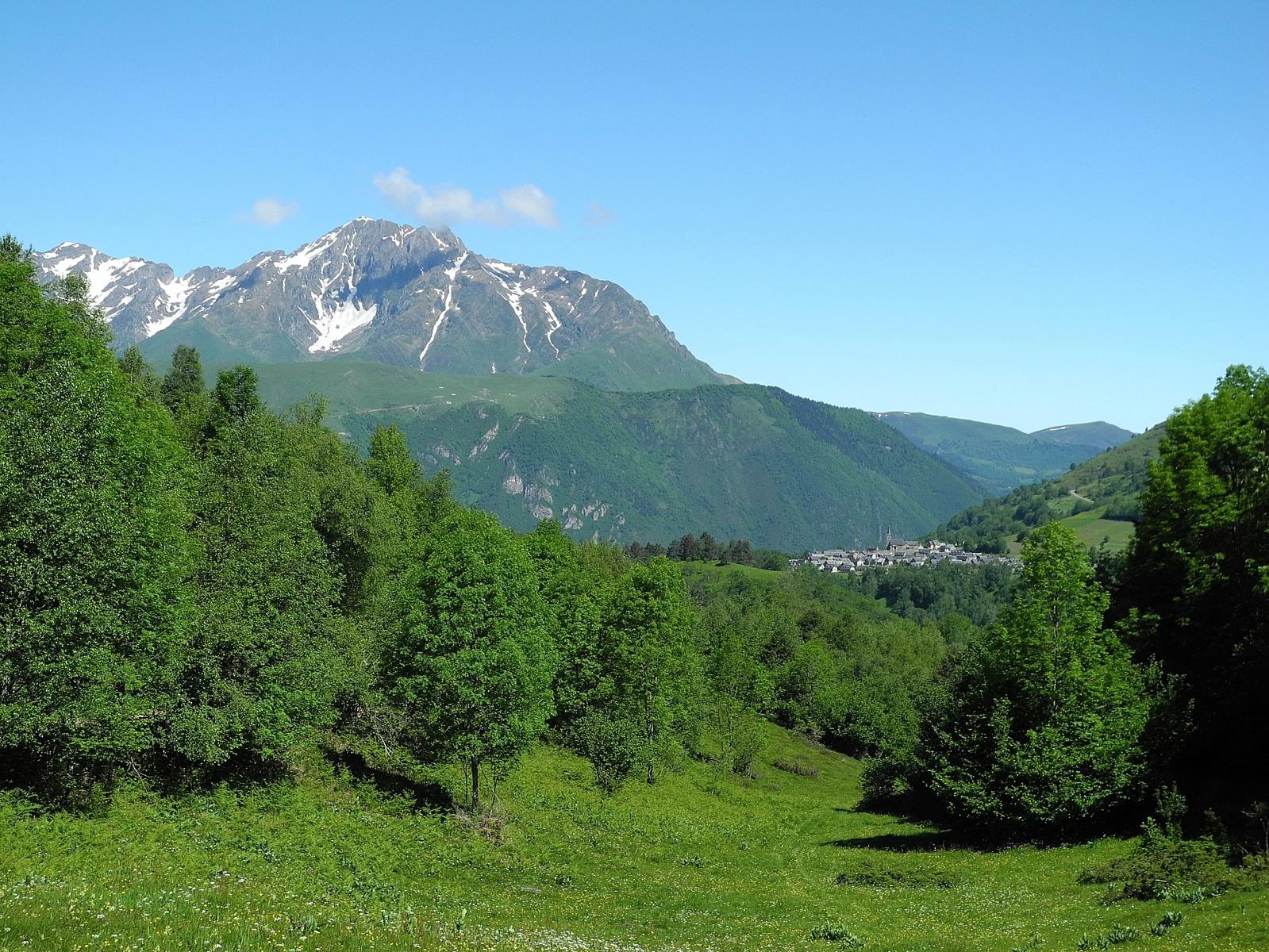
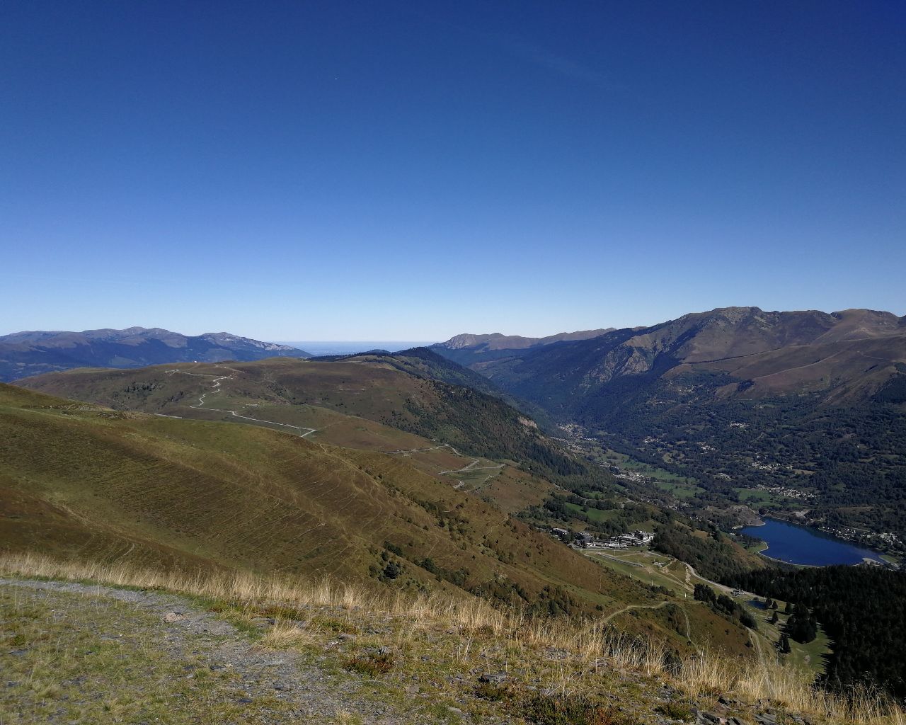
Great landscapes that are relatively accessible to families.

Already more than 200,000 users!
Uphill
264m
Highest point
1569m
Downhill
264m
Lowest point
1380m
Route type
Loop
Download the map on your smartphone to save battery and rest assured to always keep access to the route, even without signal.
Includes IGN France and Swisstopo.
I indicate whether dogs are allowed or prohibited on this trail
Can be difficult in Winter
1 rating
Also enjoy:

Already more than 200,000 users!