Uphill
478m
Length
11km
Duration
4h
Elev gain
478m
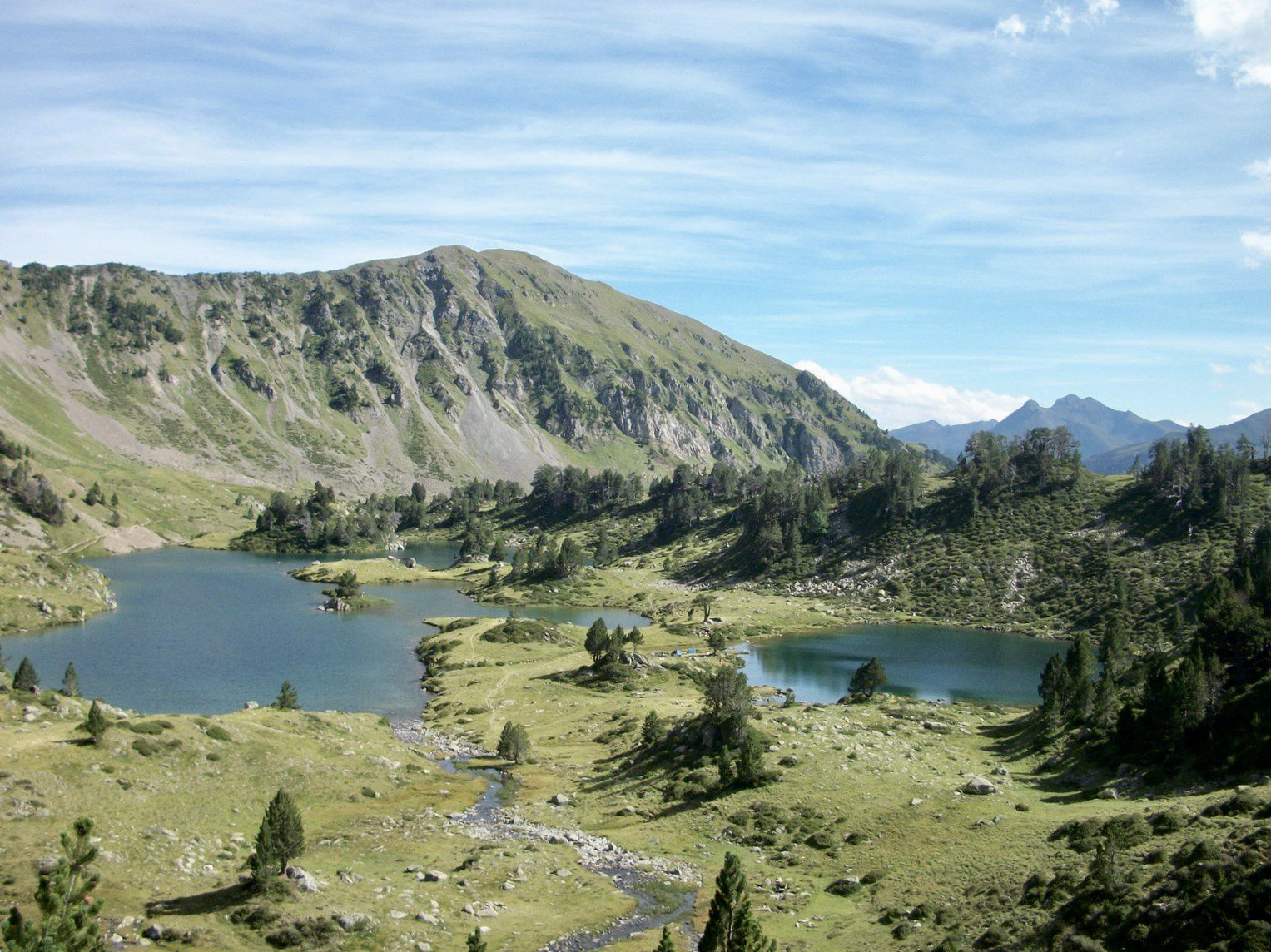
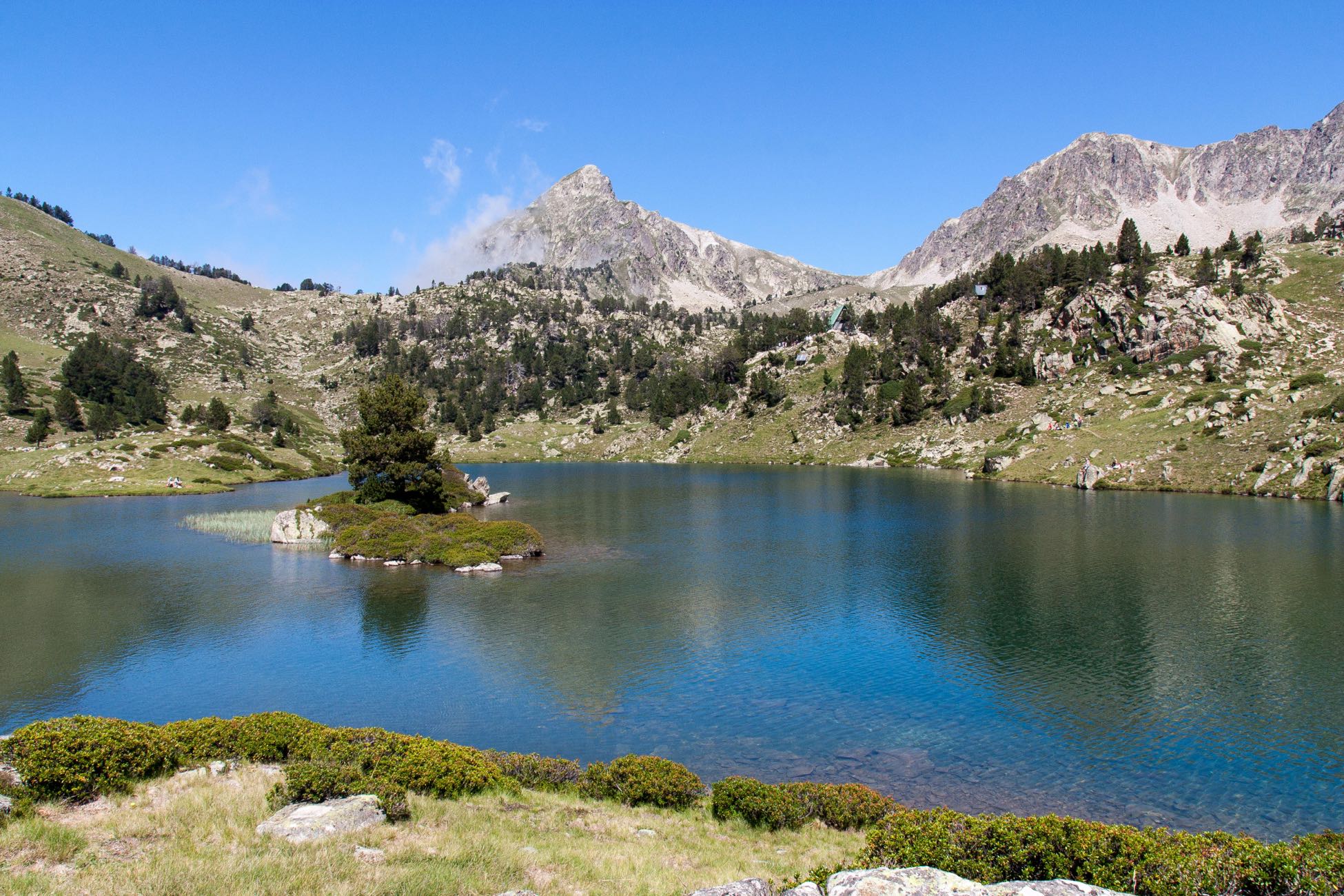
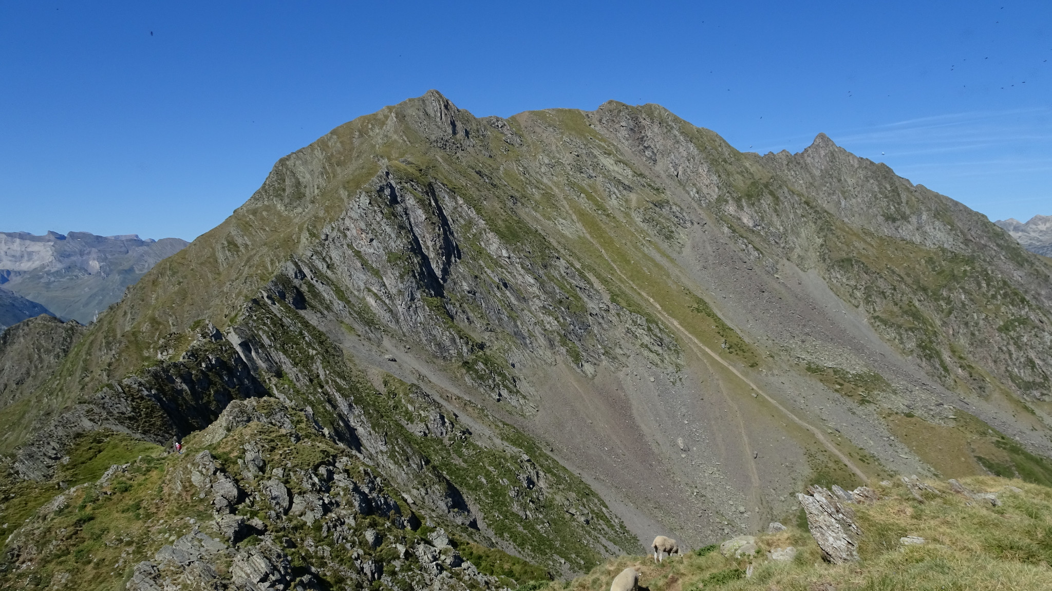
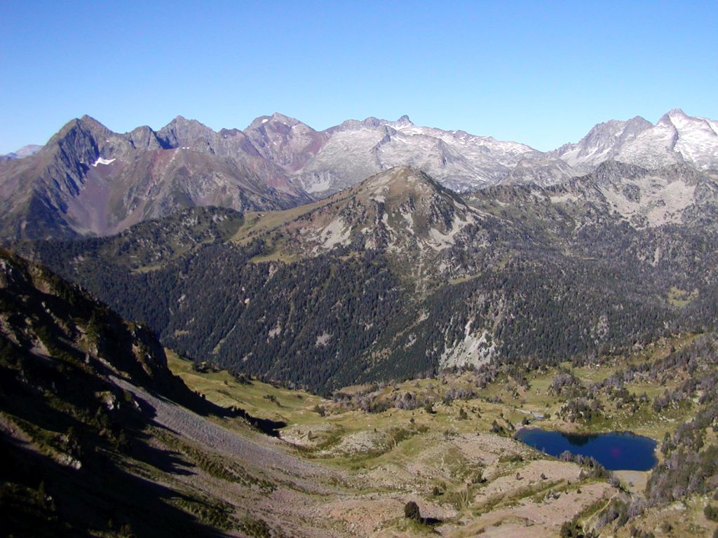
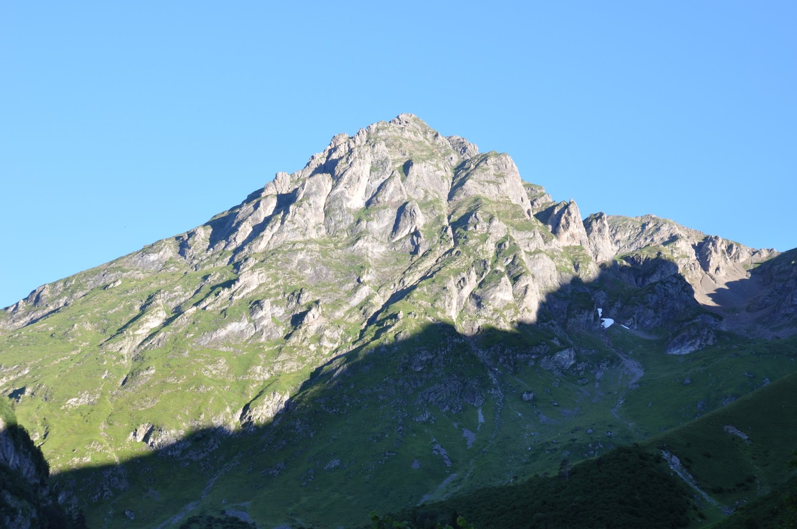
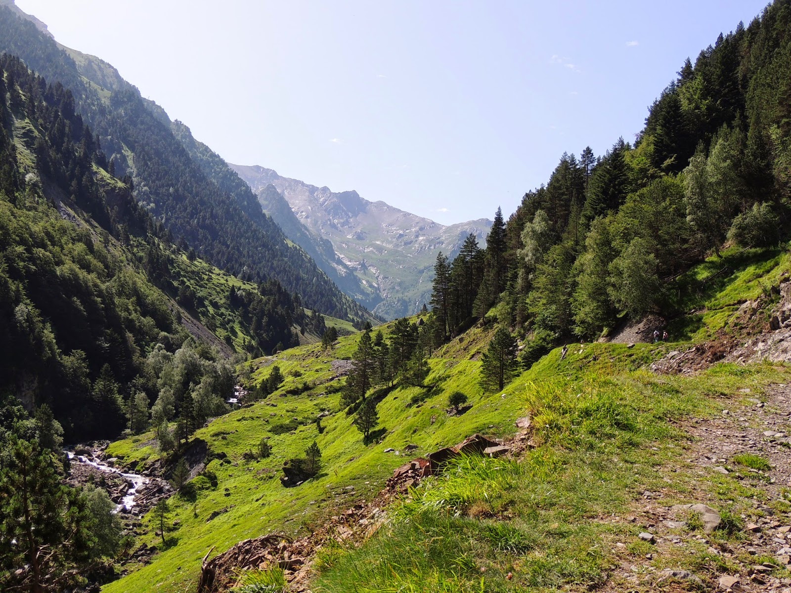
Departing from the Moudang bridge, this hike follows a river before leading to the beautiful barns of Moudang. The trail has a steady drop and offers magnificent views. A feast for the eyes !

Already more than 200,000 users!
Uphill
478m
Highest point
1519m
Downhill
478m
Lowest point
1053m
Route type
There and back
Download the map on your smartphone to save battery and rest assured to always keep access to the route, even without signal.
Includes IGN France and Swisstopo.
I indicate whether dogs are allowed or prohibited on this trail
Can be difficult in Winter
1 rating
Also enjoy:

Already more than 200,000 users!