Uphill
602m
Length
12km
Duration
4h30min
Elev gain
602m
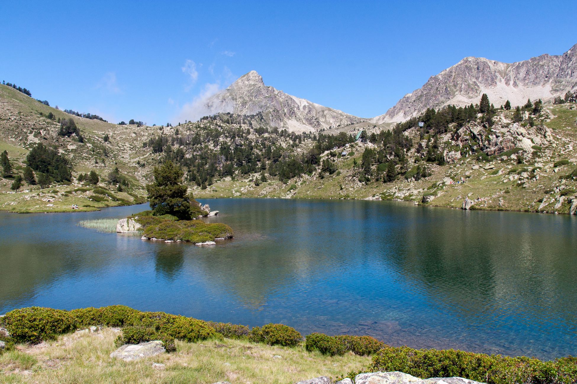
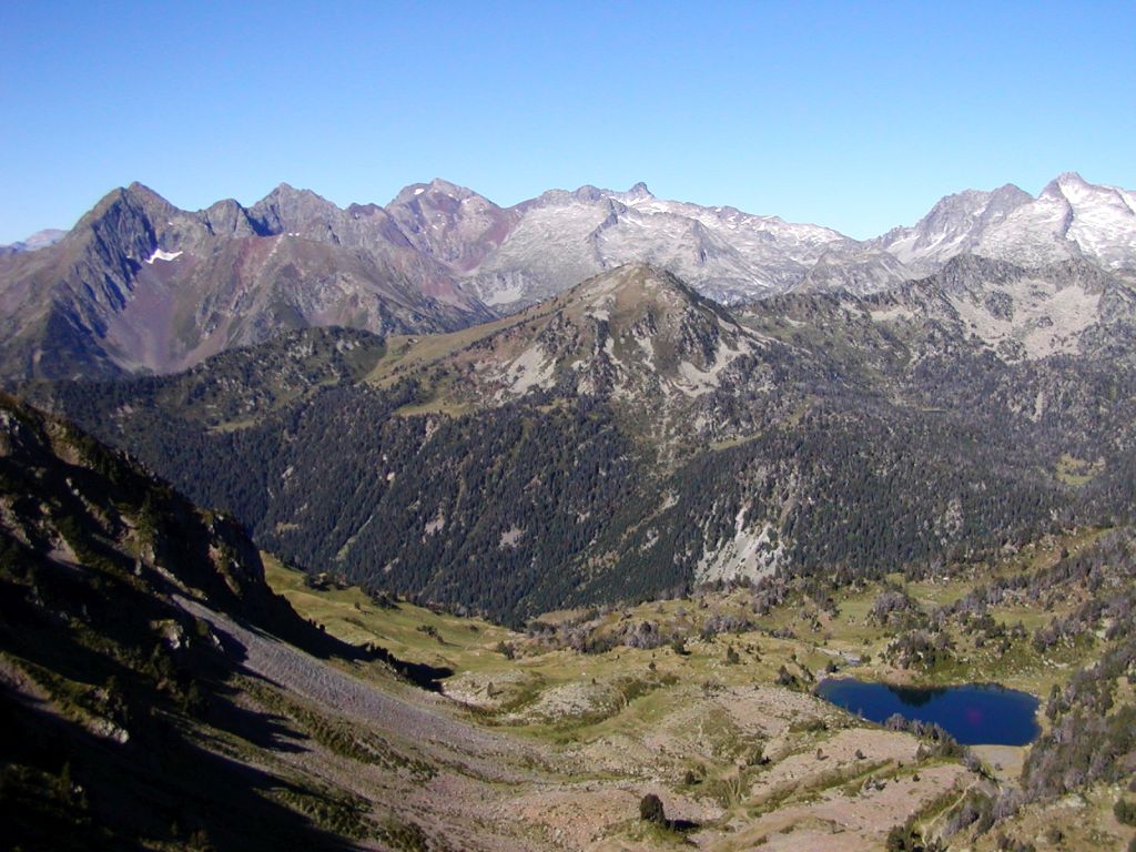
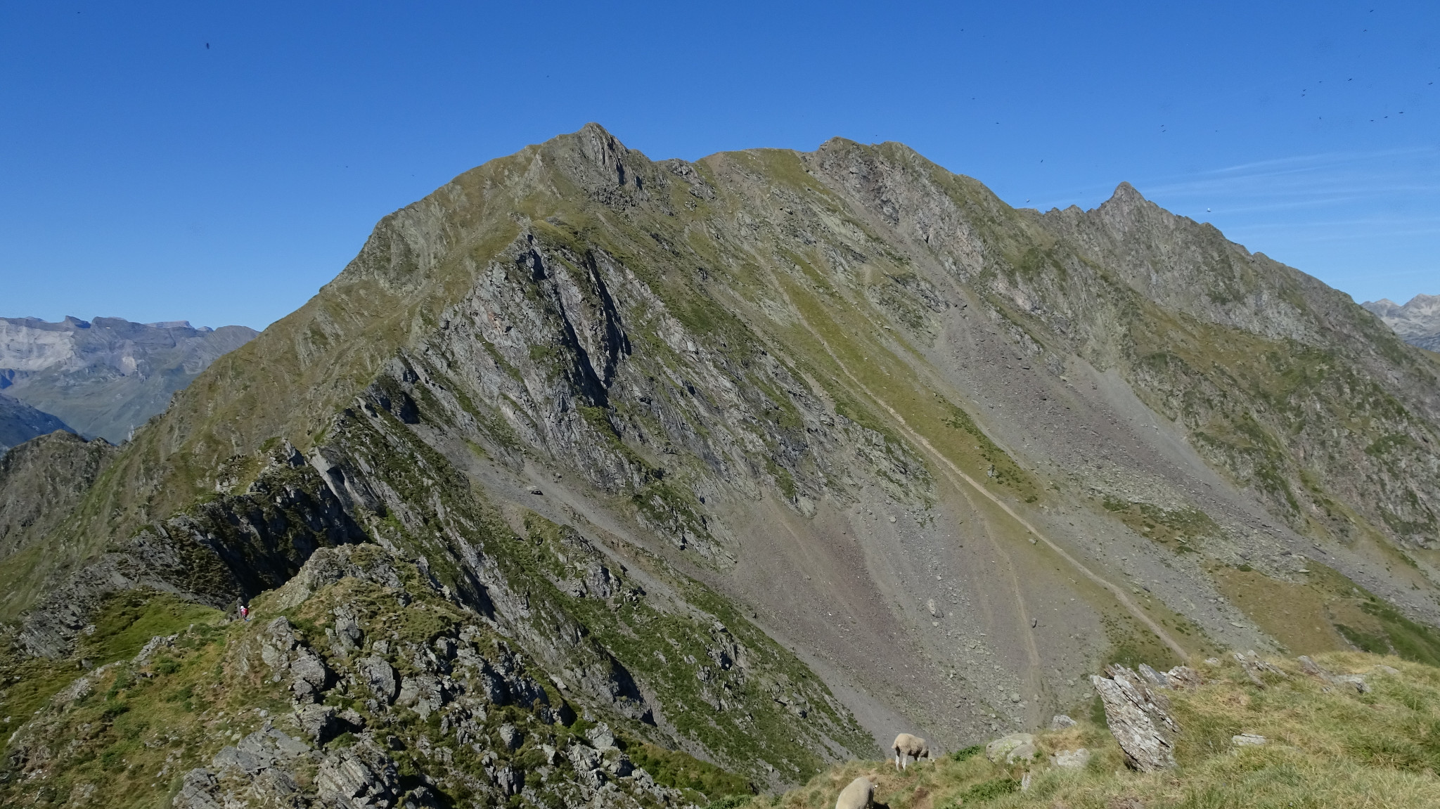
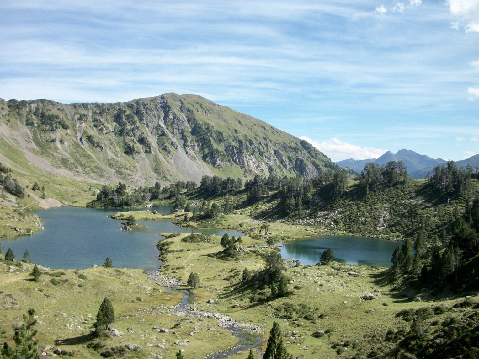
Starting from the Col de Portet, this trail offers pretty views of the Oule lake, before reaching the refuge and the Bastan lakes. The setting is then wild and magnificent, ideal for a picnic or a swim.

Already more than 200,000 users!
Uphill
602m
Highest point
2606m
Downhill
602m
Lowest point
2091m
Route type
Loop
Download the map on your smartphone to save battery and rest assured to always keep access to the route, even without signal.
Includes IGN France and Swisstopo.
I indicate whether dogs are allowed or prohibited on this trail
From June to September
2 ratings
Randonnée exceptionnelle, les sentiers sont super et sans difficulté jusqu'au refuge. Pour autant, au delà du lac supérieur, le Pichaley est très difficile à atteindre, tout le dénivelé est situé dans cette zone ce qui rend la randonnée d'autant plus superbe avec une vue inégalée en 360° sur le massif 😍. La montée jusqu'au Pichaley à partir du Col du Bastan est très difficile, je ne la conseille surtout pas aux enfants ou personne non expérimentée car c'est un sentier certes magnifique mais dangereux qui longe une crête vertigineuse. Pour les autres, randonnée à ne surtout pas louper dans les alentours, EXTRAORDINAIRE ⛰️ !
(La montée en voiture jusqu'au col du Portet n'est pas possible entre 8h30 et 18h, il faut donc se rendre au télécabine d'Espiaube en voiture ce qui rend cette rando d'autant plus originale 😊🏕️)...
Also enjoy:

Already more than 200,000 users!