Uphill
399m
Length
6km
Duration
3h
Elev gain
399m
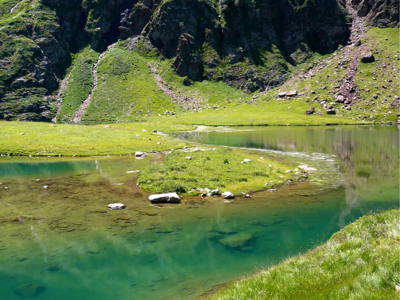
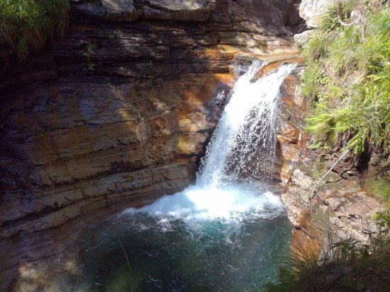
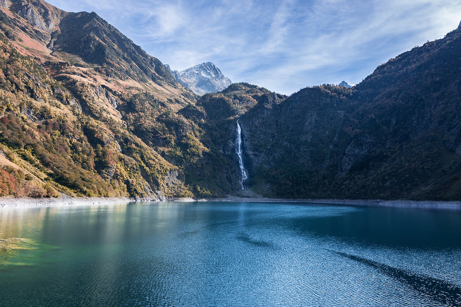
There and back trail to Lake Oo and its beautiful 275-meter-high waterfall. The ascent is done on a relatively wide and shaded track, very busy in summer.

Already more than 200,000 users!
Uphill
399m
Highest point
1513m
Downhill
399m
Lowest point
1147m
Route type
There and back
Download the map on your smartphone to save battery and rest assured to always keep access to the route, even without signal.
Includes IGN France and Swisstopo.
I indicate whether dogs are allowed or prohibited on this trail
Can be difficult in Winter
9 ratings
Un classique du coin ! La montée est assez facile, sur un sentier large. Pas mal de monde en mai.
Le lac est très beau, fidèle à sa réputation. Par contre la zone autour du refuge avait l’air en chantier - tuyaux, palissades, monticules de terre… Ça faisait un peu tâche !
Also enjoy:

Already more than 200,000 users!