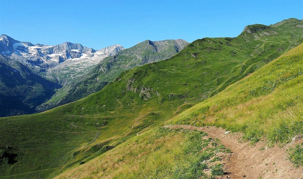
Uphill
992m
Length
12km
Duration
7h
Elev gain
992m
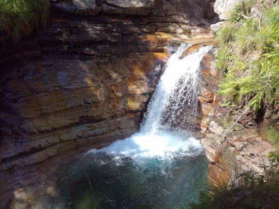
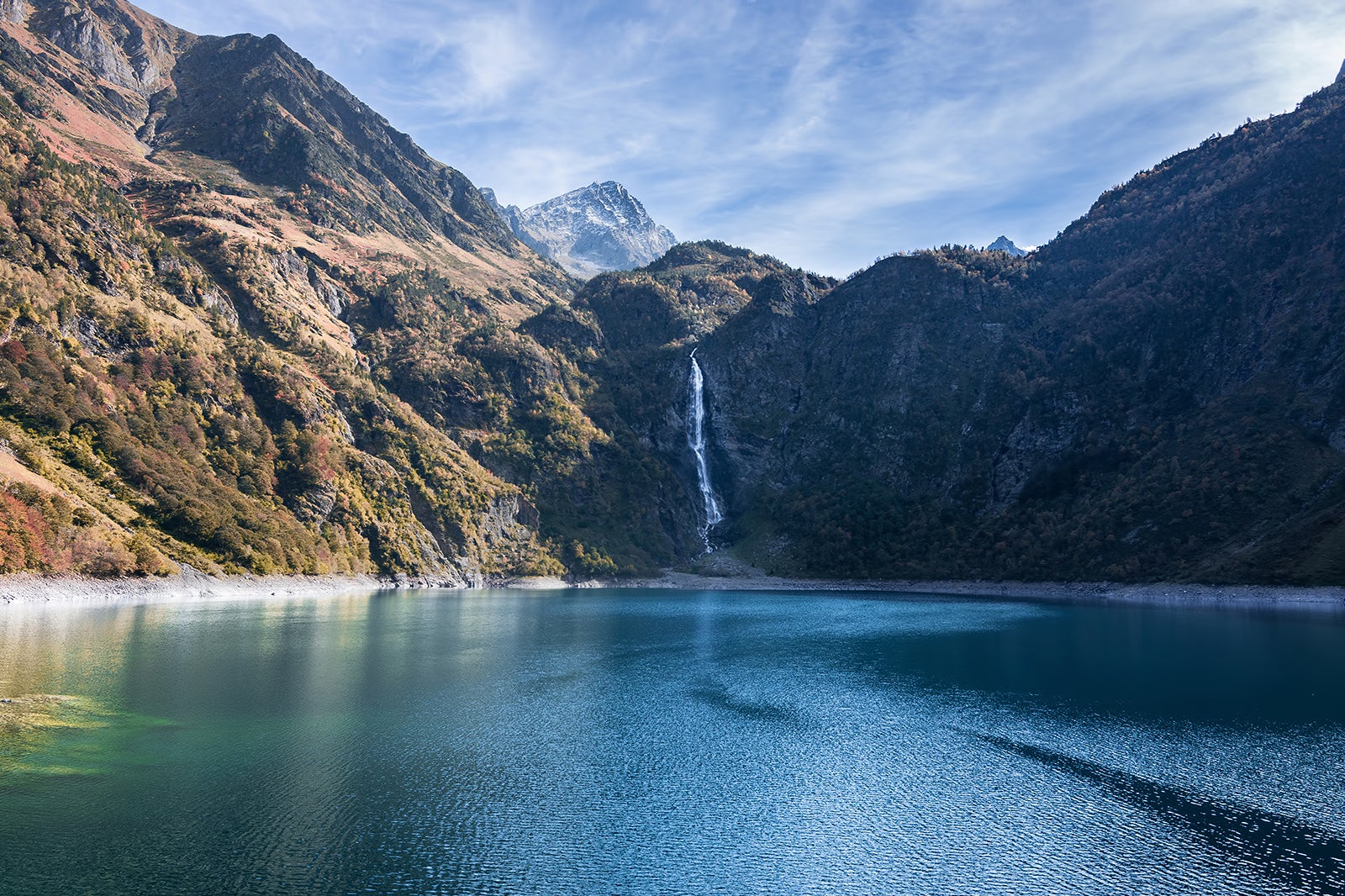
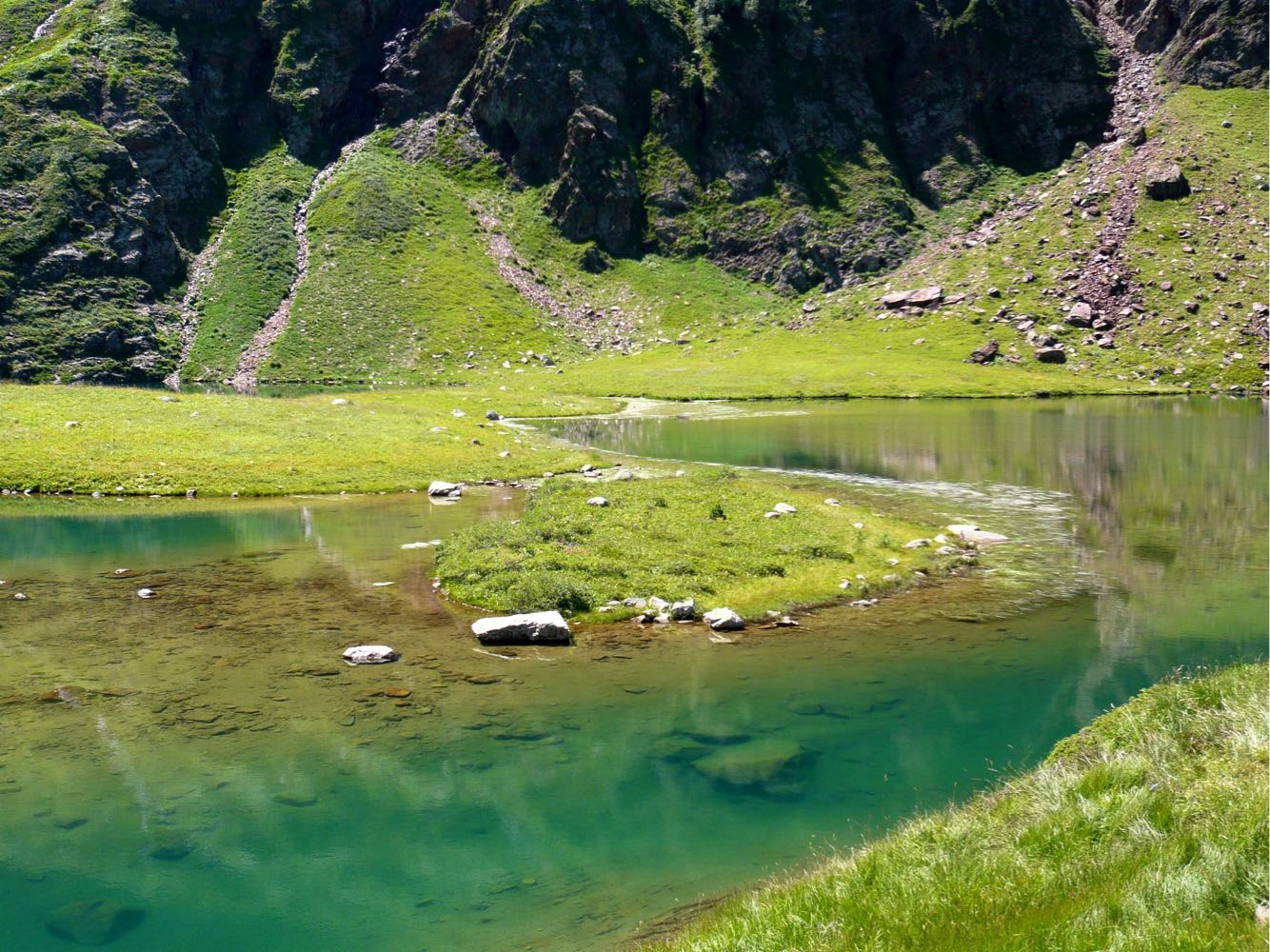
Lac Vert is a wonderful place to take a break, with its original shape and pine-lined shores. The hike takes place mainly at the edge of a stream, and allows you to enjoy many waterfalls.

Already more than 200,000 users!
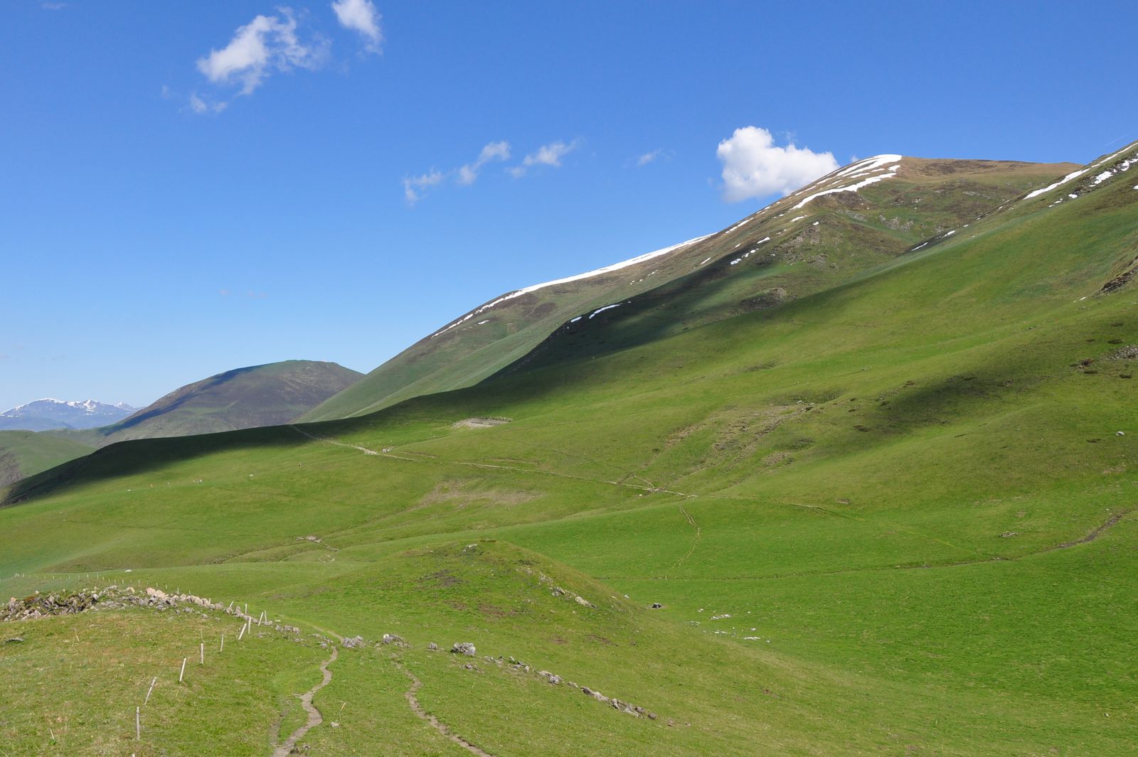
Uphill
992m
Highest point
2069m
Downhill
992m
Lowest point
1139m
Route type
Loop
Download the map on your smartphone to save battery and rest assured to always keep access to the route, even without signal.
Includes IGN France and Swisstopo.
I indicate whether dogs are allowed or prohibited on this trail
From May to September
0 ratings
Also enjoy:

Already more than 200,000 users!