Uphill
616m
Length
7km
Duration
4h
Elev gain
616m
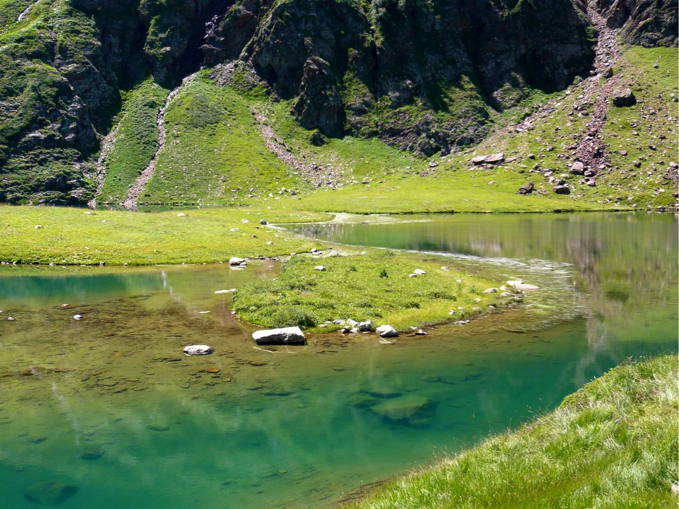
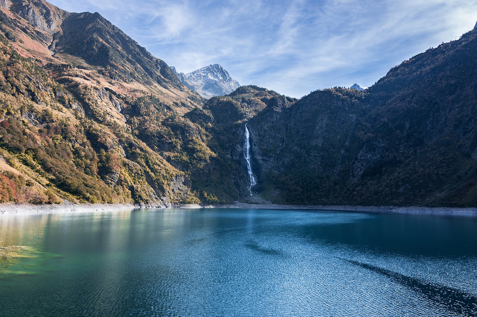
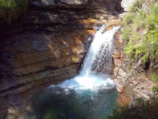
Shaded walk to discover several waterfalls, in an exceptional natural setting.

Already more than 200,000 users!
Uphill
616m
Highest point
1515m
Downhill
616m
Lowest point
1139m
Route type
Loop
Download the map on your smartphone to save battery and rest assured to always keep access to the route, even without signal.
Includes IGN France and Swisstopo.
I indicate whether dogs are allowed or prohibited on this trail
Can be difficult in Winter
4 ratings
Beaucoup aimé le circuit qui permet de suivre l’eau tout du long ou presque et plusieurs points de vue le long du parcours.
J’ai adoré ! Notamment lorsque le sentier rejoint le belvédère, juste en-dessous du pont. Point de vue vertigineux sur le cours d’eau.
Also enjoy:

Already more than 200,000 users!