Uphill
373m
Length
7km
Duration
3h
Elev gain
373m
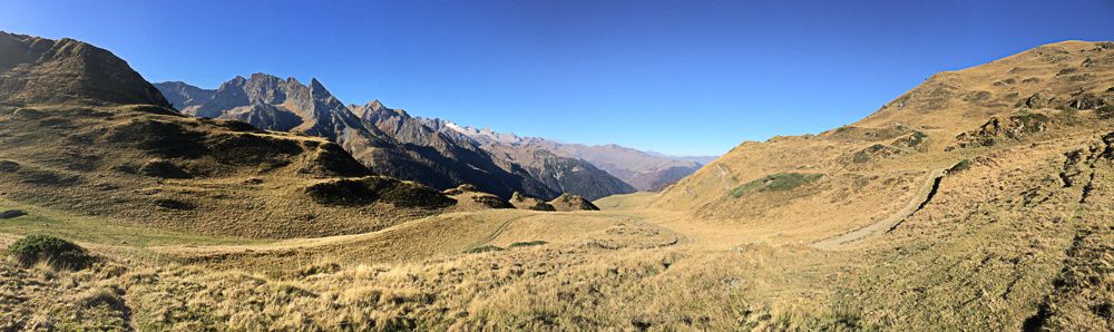
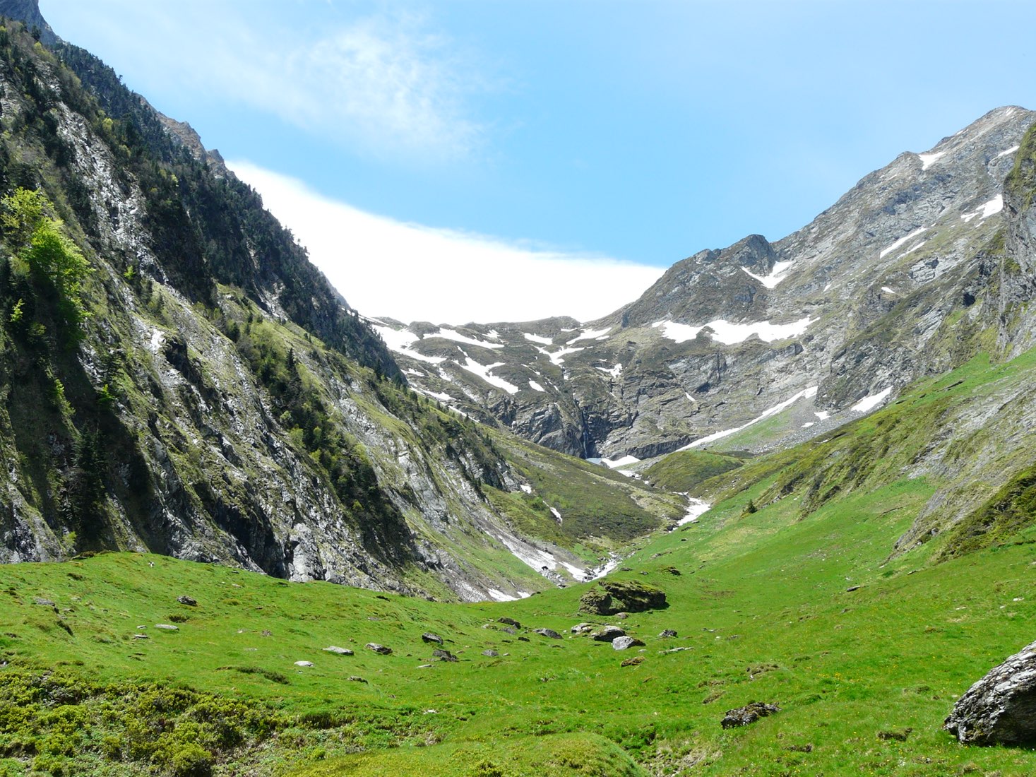
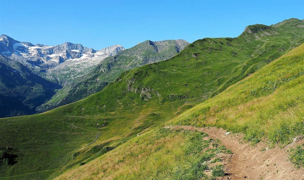
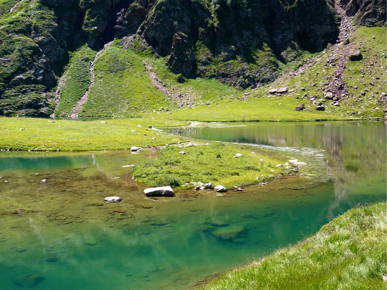
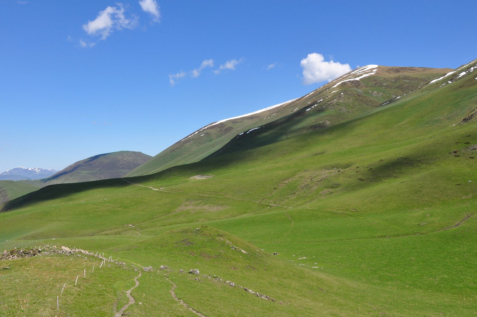
After a fairly steep start, this is a leisurely stroll through the heart of a meadow.

Already more than 200,000 users!
Uphill
373m
Highest point
1751m
Downhill
373m
Lowest point
1381m
Route type
Loop
Download the map on your smartphone to save battery and rest assured to always keep access to the route, even without signal.
Includes IGN France and Swisstopo.
I indicate whether dogs are allowed or prohibited on this trail
From May to October
0 ratings
Also enjoy:

Already more than 200,000 users!