Uphill
1039m
Length
11km
Duration
7h
Elev gain
1039m
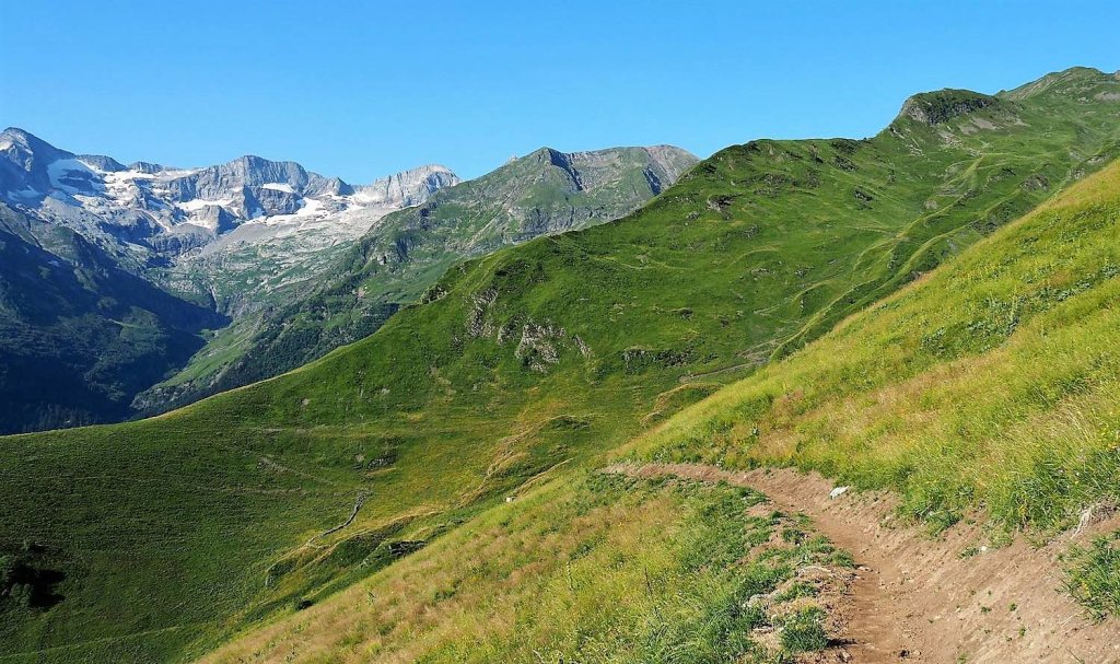
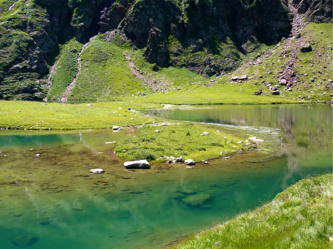
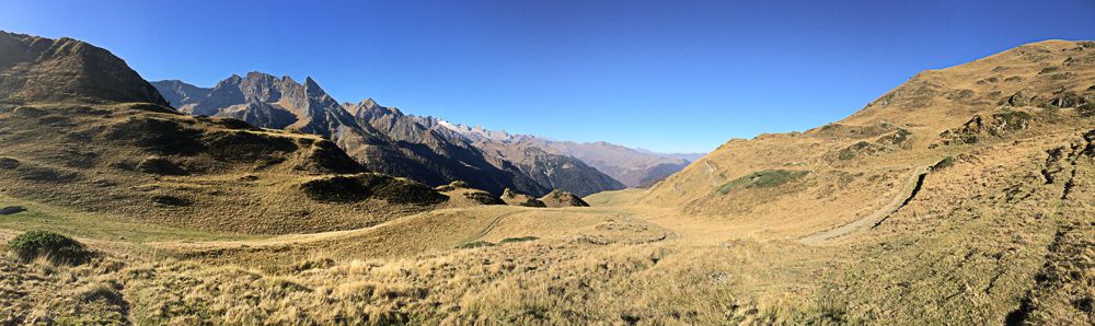
Hike that allows you to reach a superb 360-degree panorama. Part of the route is off trail.

Already more than 200,000 users!
Uphill
1039m
Highest point
2260m
Downhill
1039m
Lowest point
1381m
Route type
Loop
Download the map on your smartphone to save battery and rest assured to always keep access to the route, even without signal.
Includes IGN France and Swisstopo.
I indicate whether dogs are allowed or prohibited on this trail
From May to September
1 rating
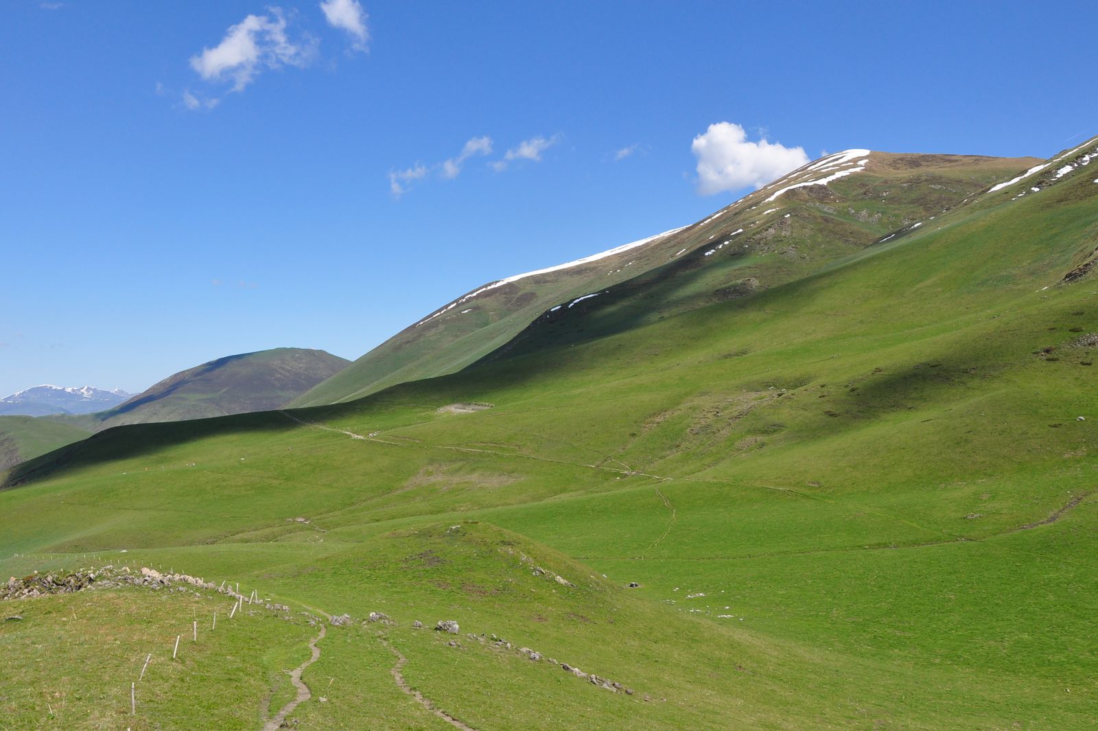
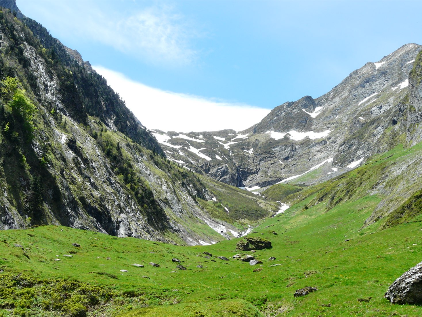
Balade effectuée fin mai et il y avait encore quelques rares névés. On voulait initialement faire le port de Vénasque mais il était trop enneigé pour le coup.
Pas grave, car le pic d’Entecade mérite le détour ! Il y a notamment une très belle crête, qui offre des panoramas sur l’Espagne.
Vers la fin il y a une partie hors-sentier, mais ça ne nous a pas posé de problème car le sol était facilement praticable.
Also enjoy:

Already more than 200,000 users!