Uphill
1305m
Length
16km
Duration
9h
Elev gain
1305m
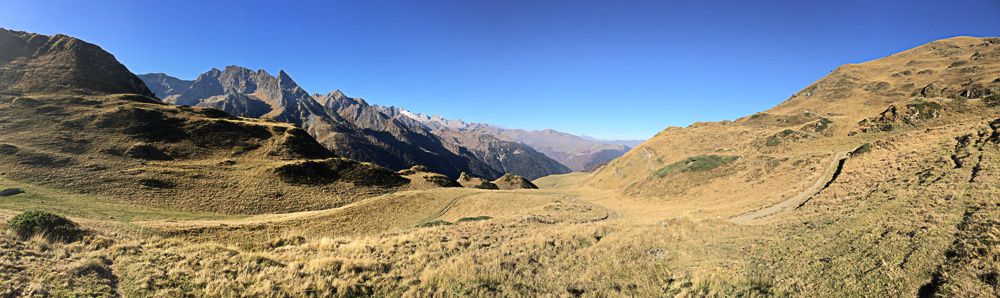
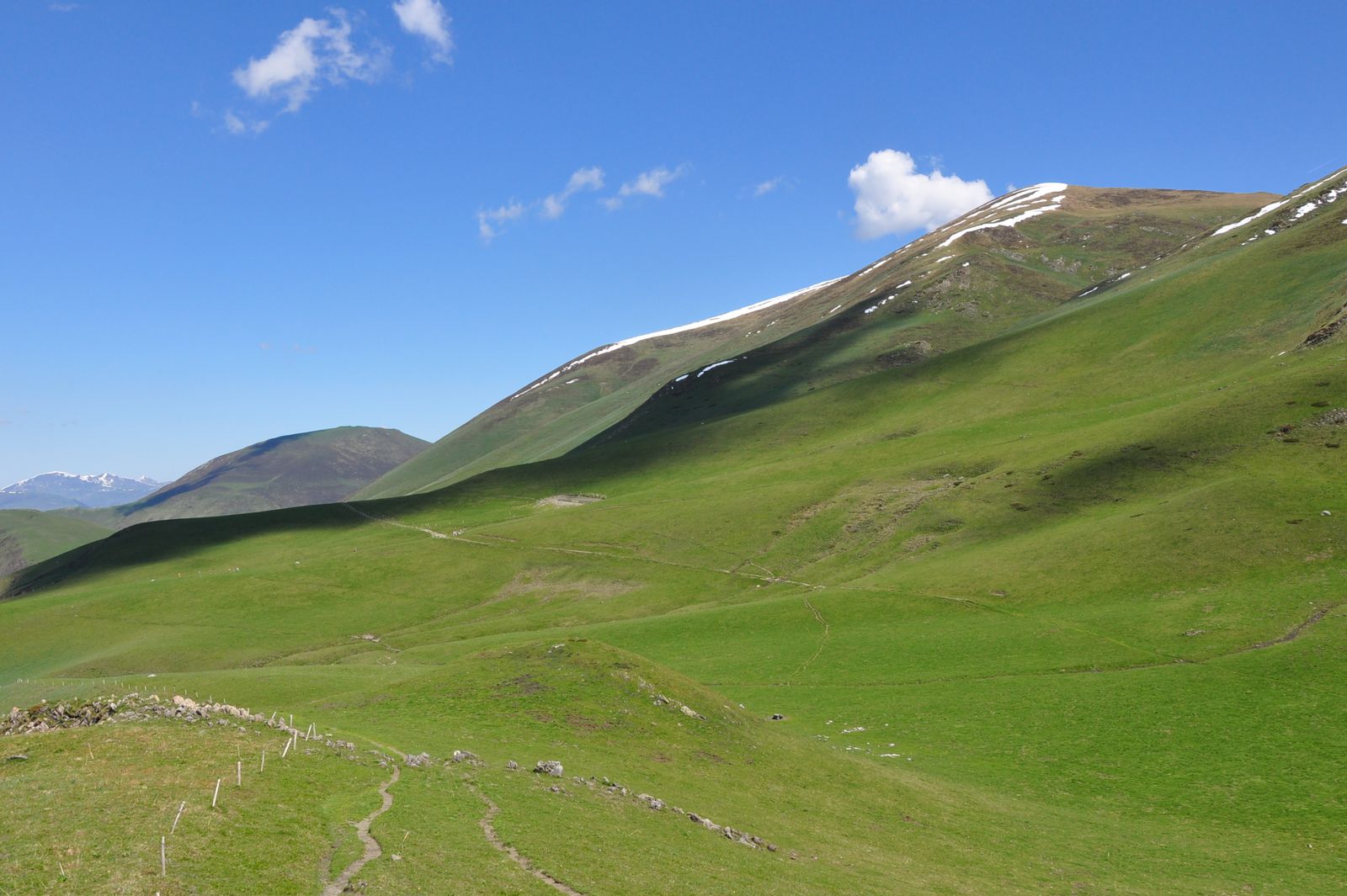
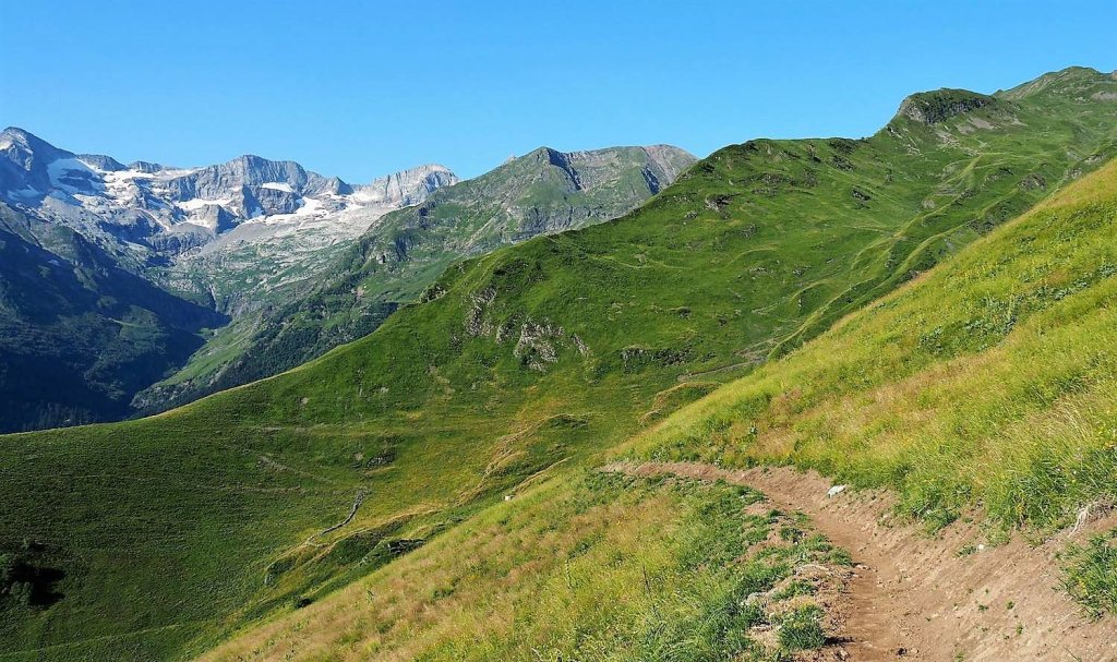
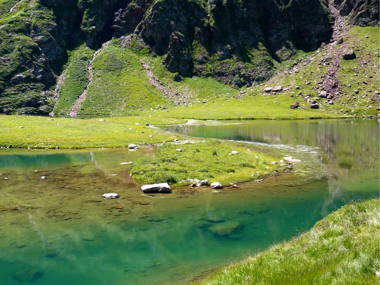
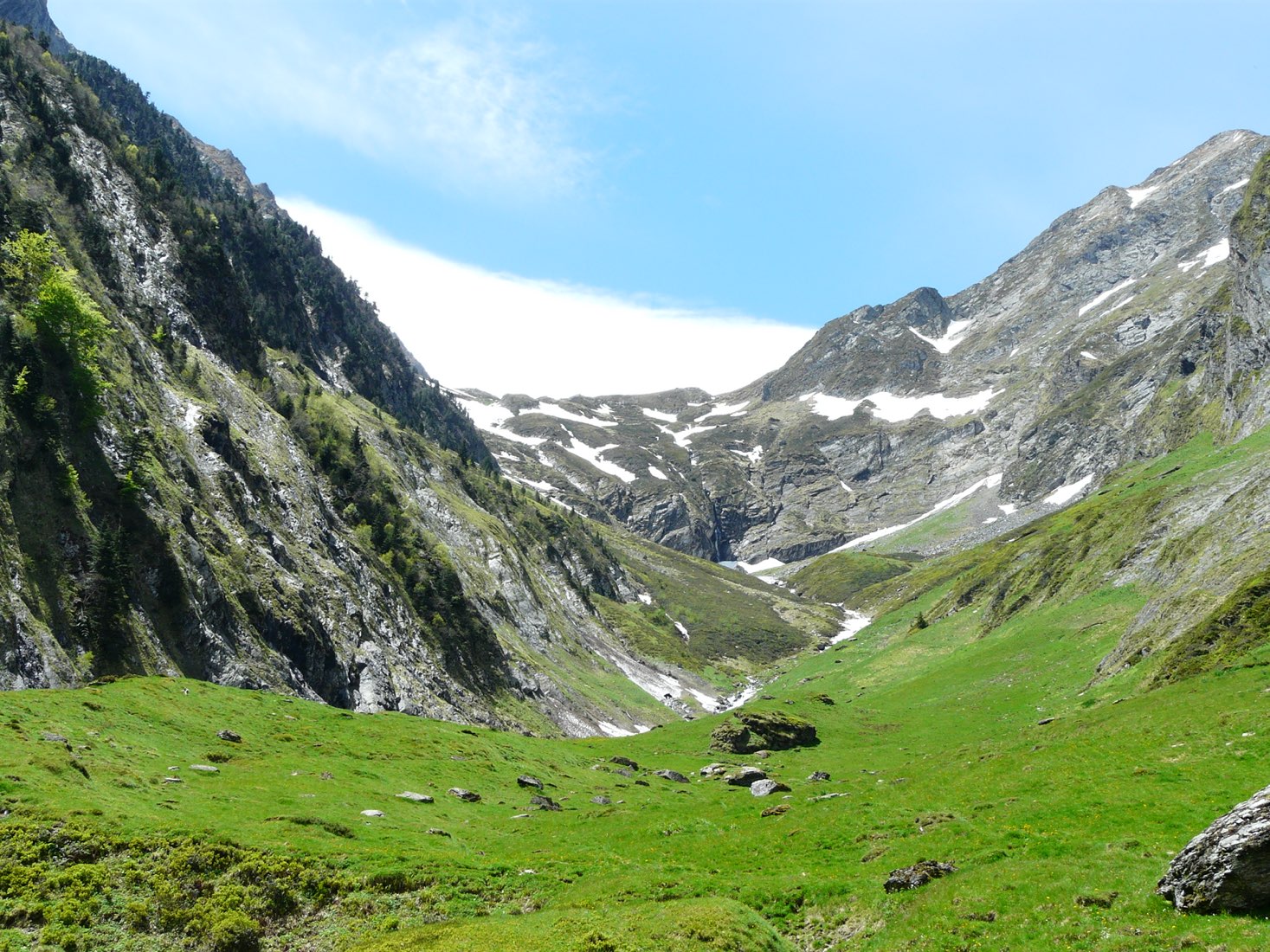
Beautiful trail loop featuring varied landscapes, between lakes, crests and plateaus.

Already more than 200,000 users!
Uphill
1305m
Highest point
2482m
Downhill
1305m
Lowest point
1381m
Route type
Loop
Download the map on your smartphone to save battery and rest assured to always keep access to the route, even without signal.
Includes IGN France and Swisstopo.
I indicate whether dogs are allowed or prohibited on this trail
From June to September
3 ratings
Absolument somptueux , la montée est sportive mais la bascule avec vue sur l’Aneto fais oublier toute les courbatures
Also enjoy:

Already more than 200,000 users!