Uphill
806m
Length
12km
Duration
6h
Elev gain
806m
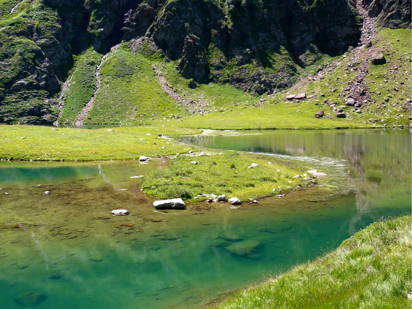
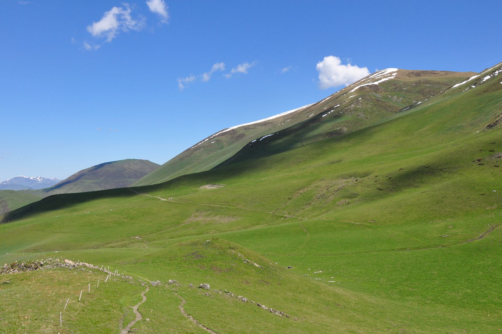
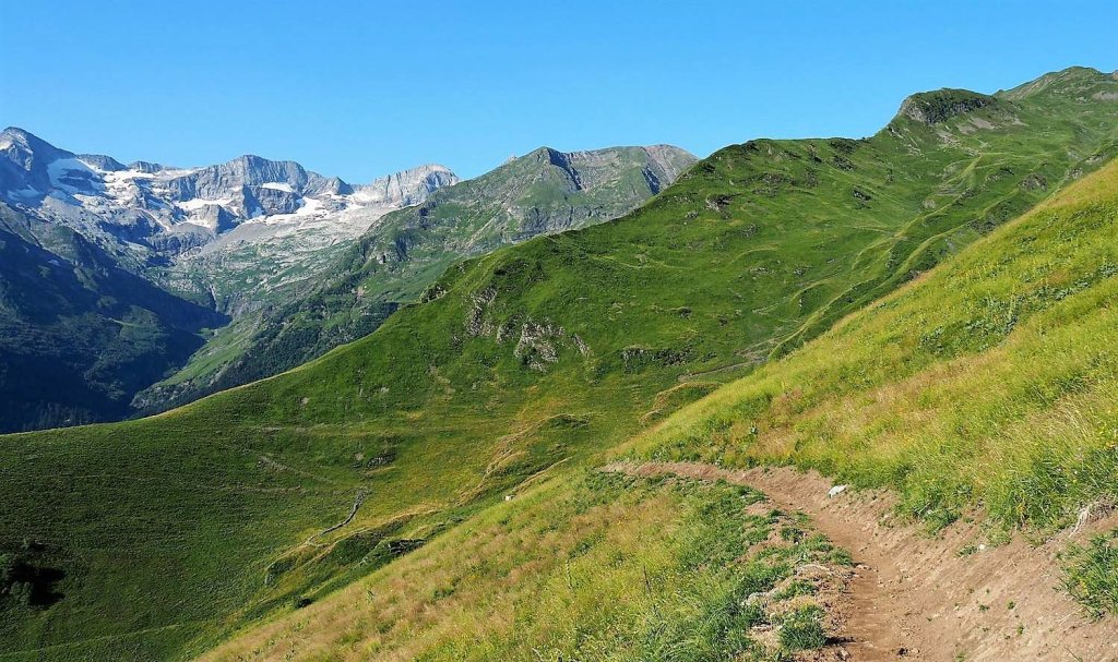
Departing from Luchon-Superbagnères, this hike leads to the Col de la Coumme, at an altitude of 2,272 metres, for a stunning view. The path runs along the Betet stream and borrows crests at times.

Already more than 200,000 users!
Uphill
806m
Highest point
2281m
Downhill
806m
Lowest point
1721m
Route type
There and back
Download the map on your smartphone to save battery and rest assured to always keep access to the route, even without signal.
Includes IGN France and Swisstopo.
I indicate whether dogs are allowed or prohibited on this trail
From May to September
0 ratings
Also enjoy:

Already more than 200,000 users!