Uphill
334m
Length
11km
Duration
3h30min
Elev gain
334m
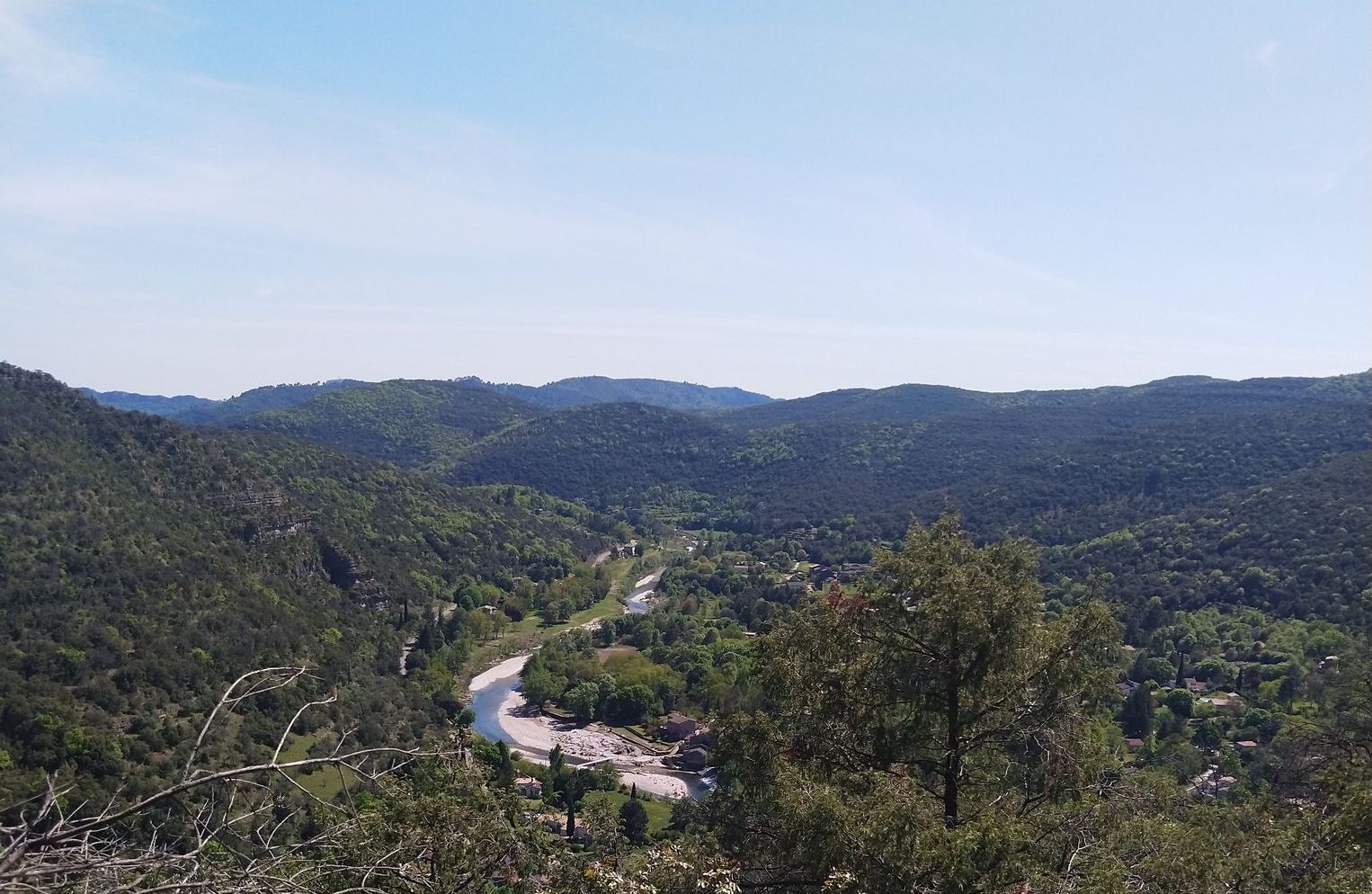
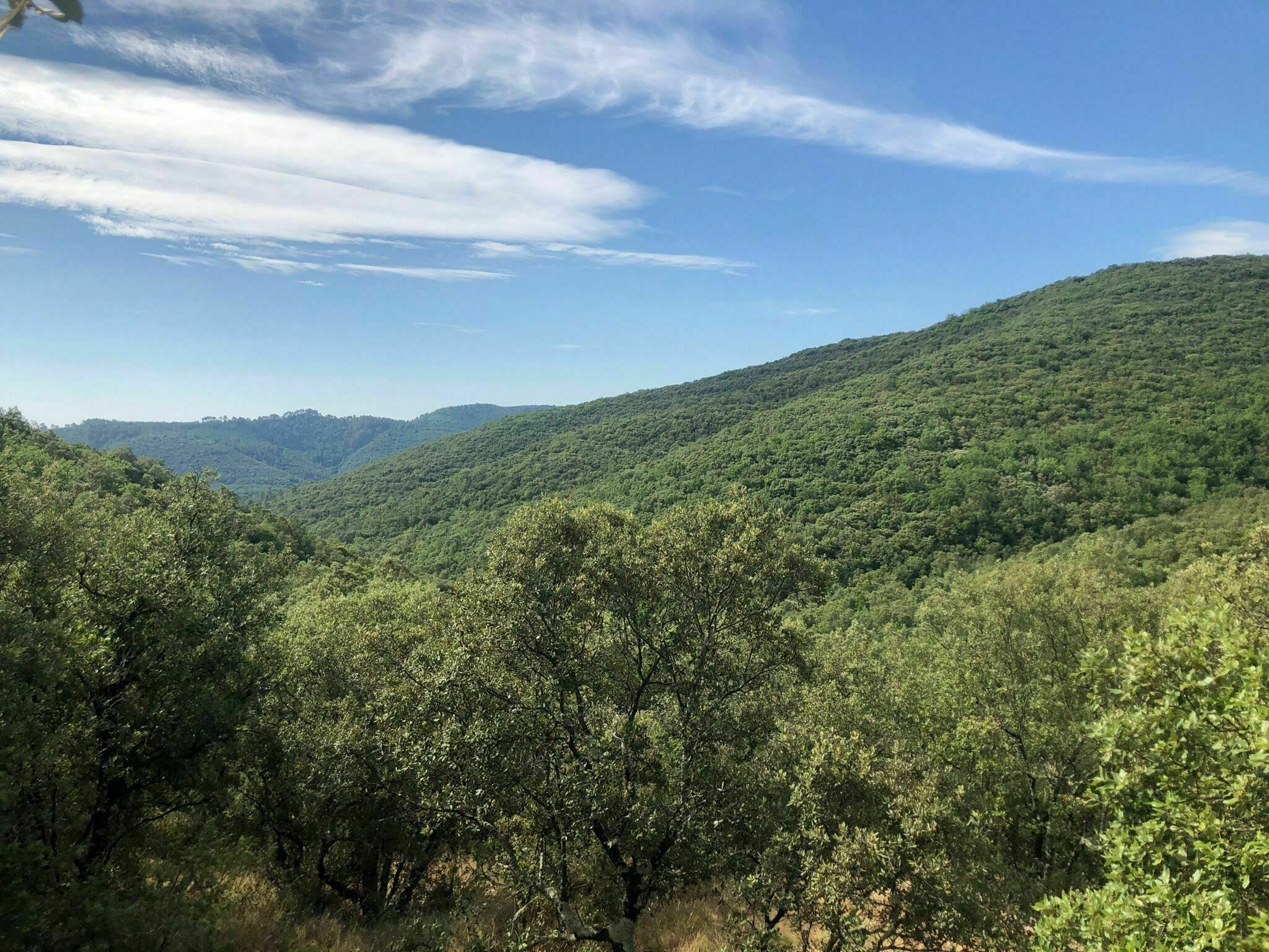
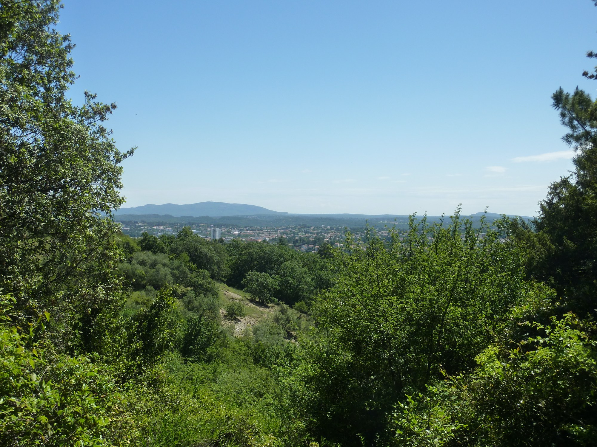
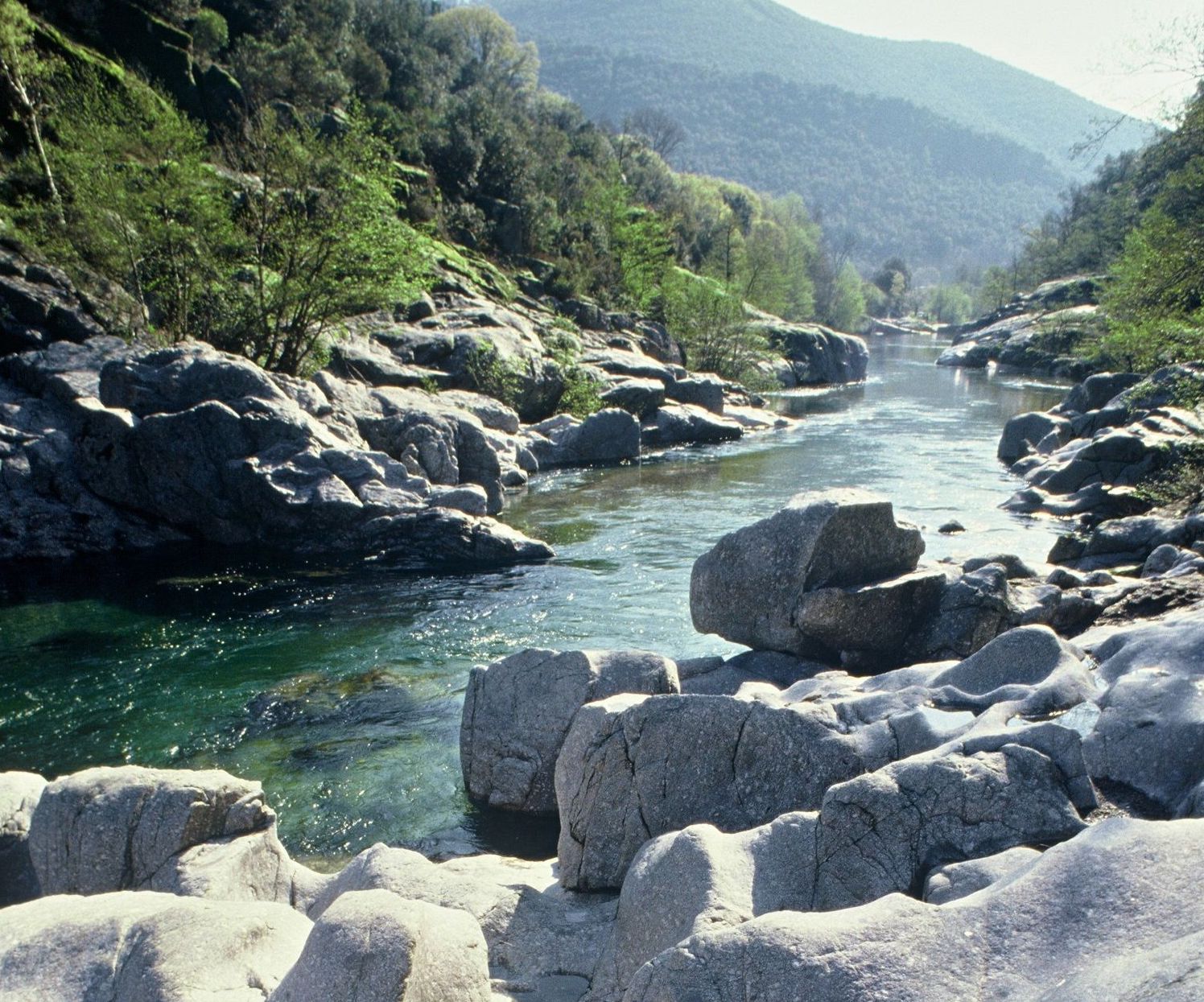
Nice hike from Mialet. The route makes a loop and passes through La Baumelle, Mas Soubeyran and Le Paussant. The path offers beautiful views of the surrounding mountains called the Puechs. For the little anecdote, the village of Mialet was an important place during the war of the Camisards. By the way, the route takes the Camisards bridge.

Already more than 200,000 users!
Uphill
334m
Highest point
430m
Downhill
334m
Lowest point
144m
Route type
Loop
Download the map on your smartphone to save battery and rest assured to always keep access to the route, even without signal.
Includes IGN France and Swisstopo.
I indicate whether dogs are allowed or prohibited on this trail
All year
6 ratings
Also enjoy:

Already more than 200,000 users!